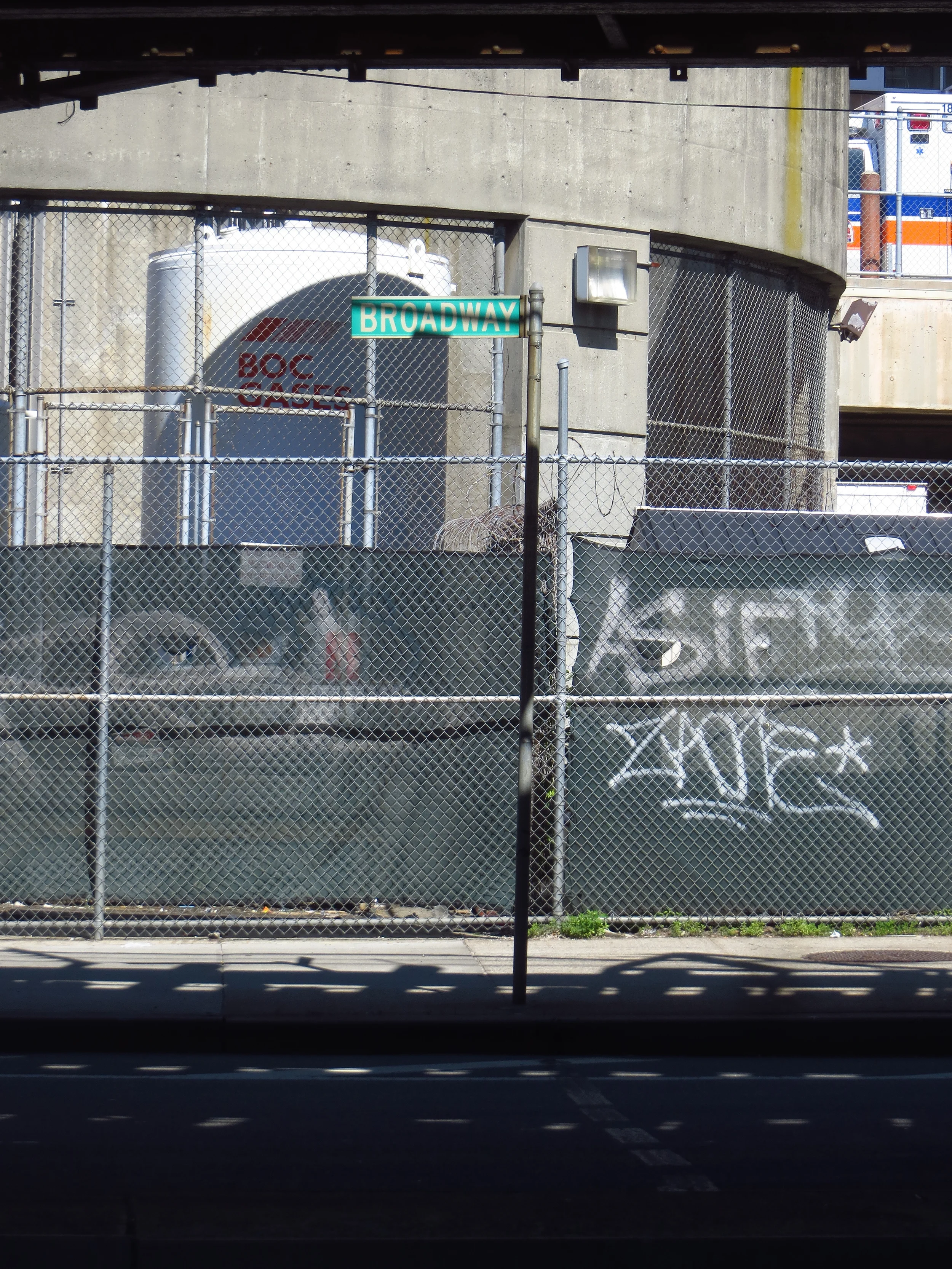
Broadway
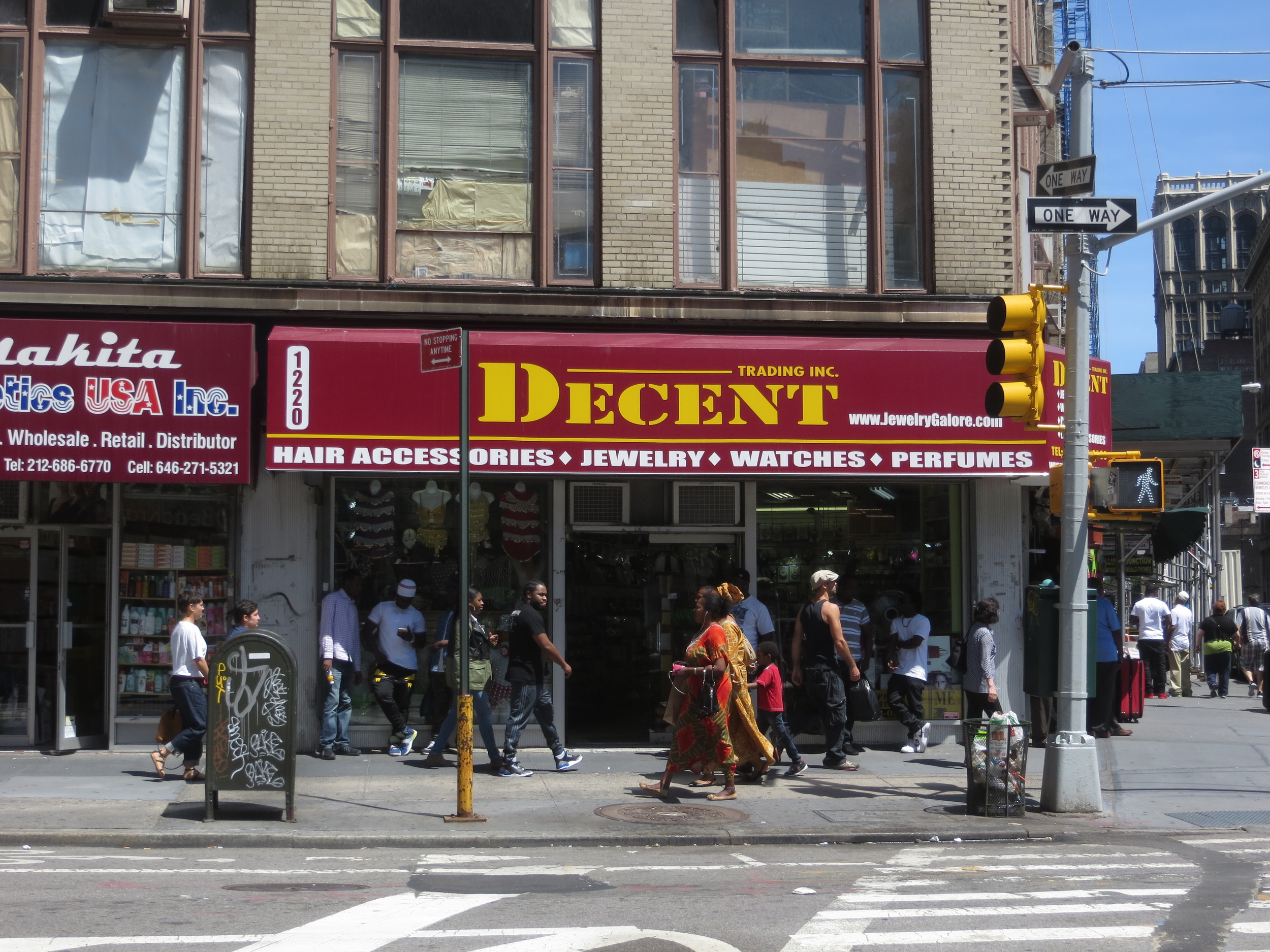
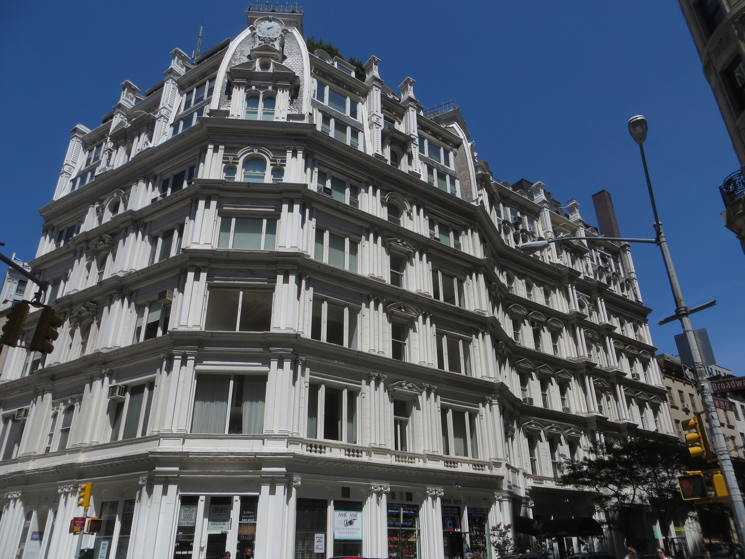
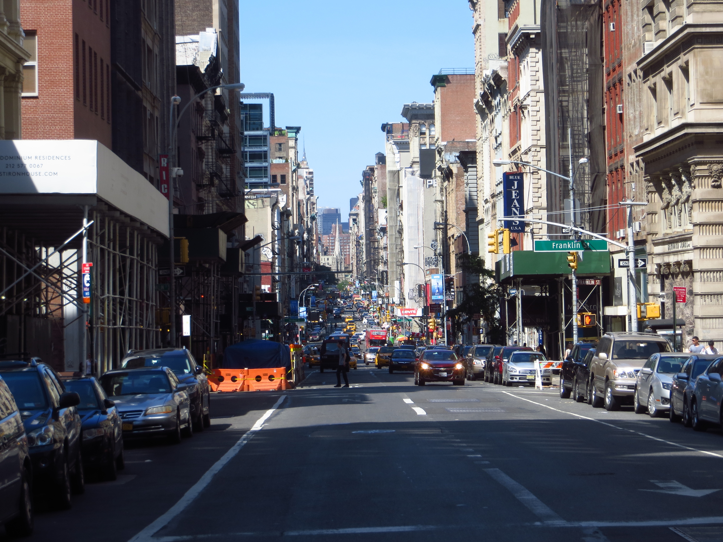
I saved Broadway for last. In addition to being New York's most iconic street, at 13.3 miles it's also the longest.
Today's walk
Broadway runs the entire length of Manhattan - from Battery Park at the base of the island all the way up to 220th St. at the top. Unlike most streets in Manhattan, Broadway continues north after leaving the island, travelling another 20 miles through the Bronx and Westchester County before finaly ending north of Sleepy Hollow.
Broadway is the oldest north-south road in New York, even pre-dating European settlement. When the Dutch arrived, they found a well traveled trail cut by the island's Native American inhabitants that led north across the island. They improved the trail and named it "Breede weg", later anglicized to Broadway.
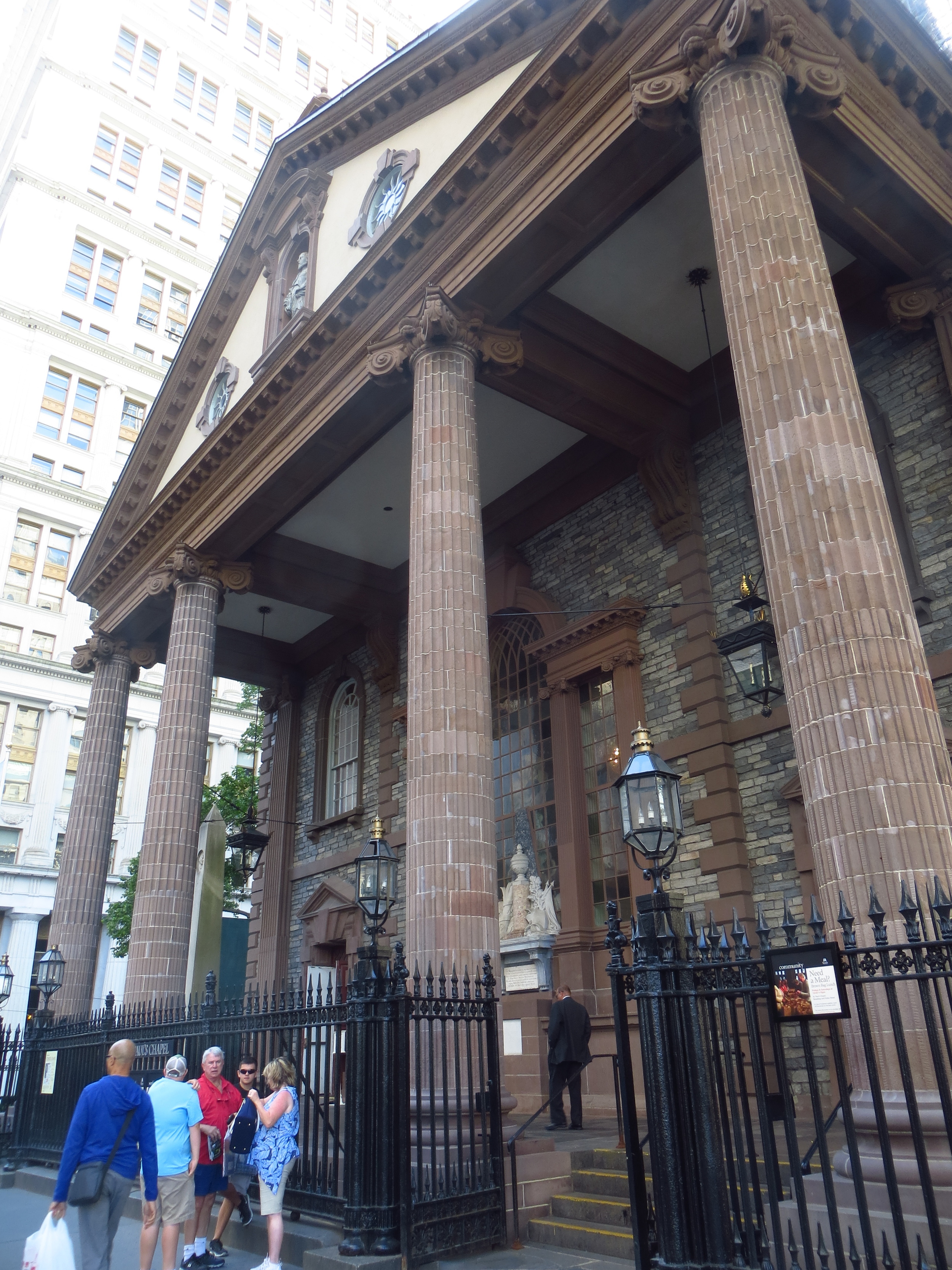
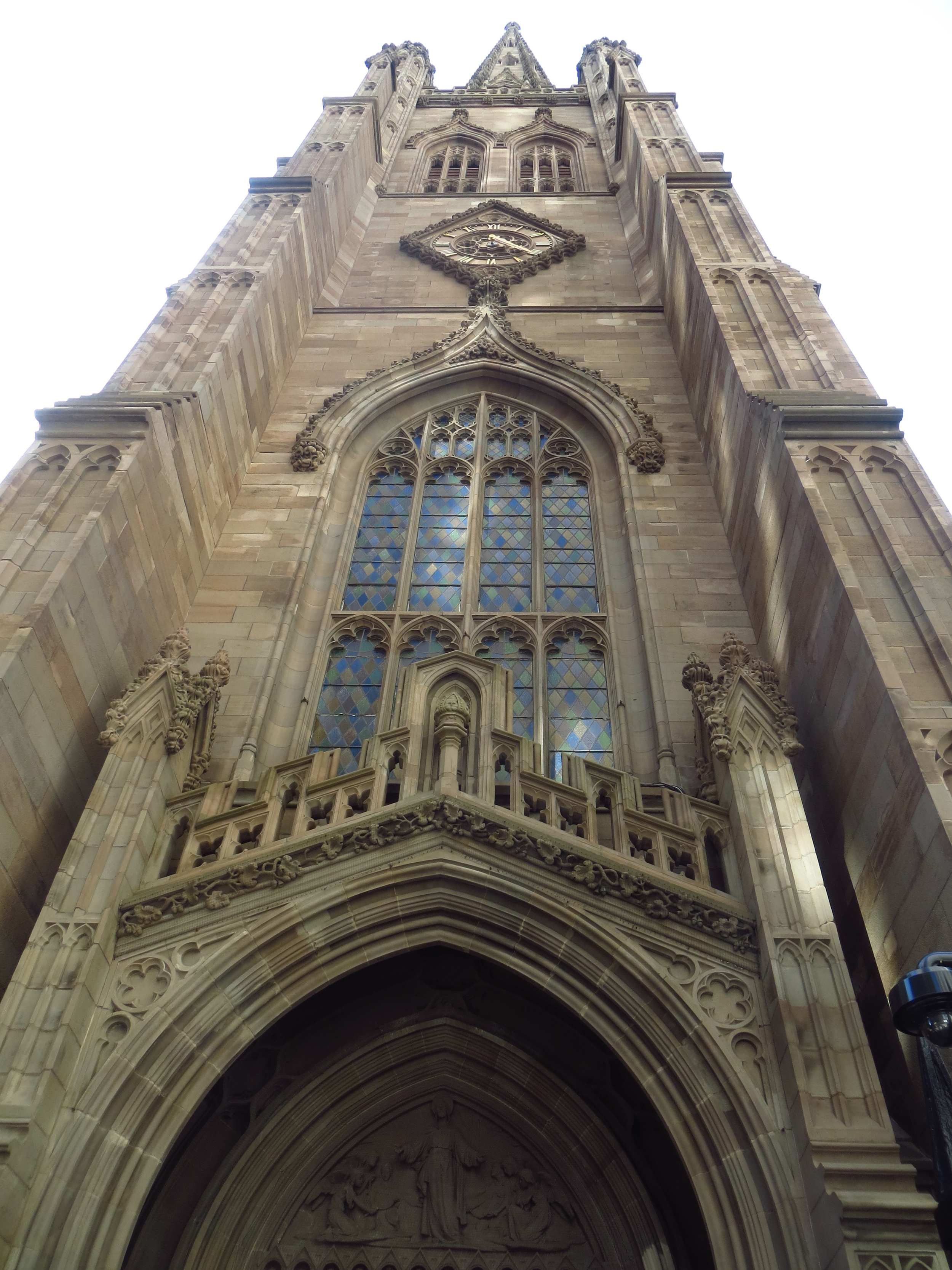
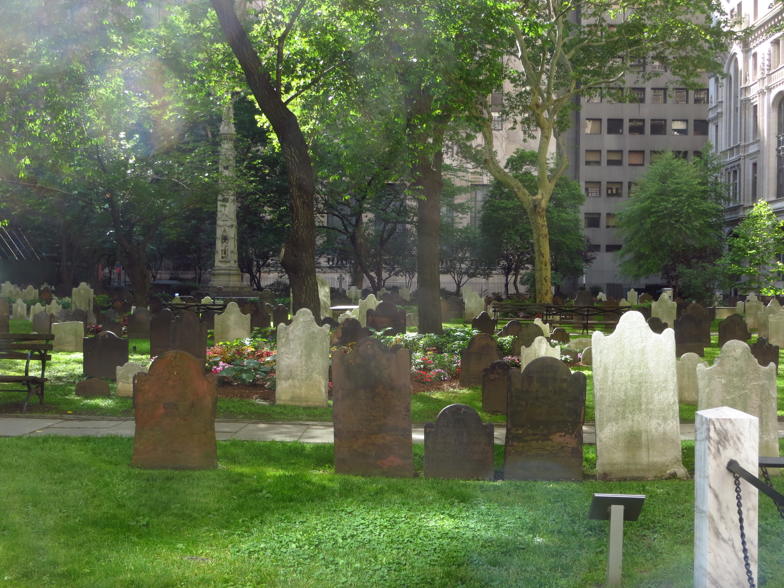
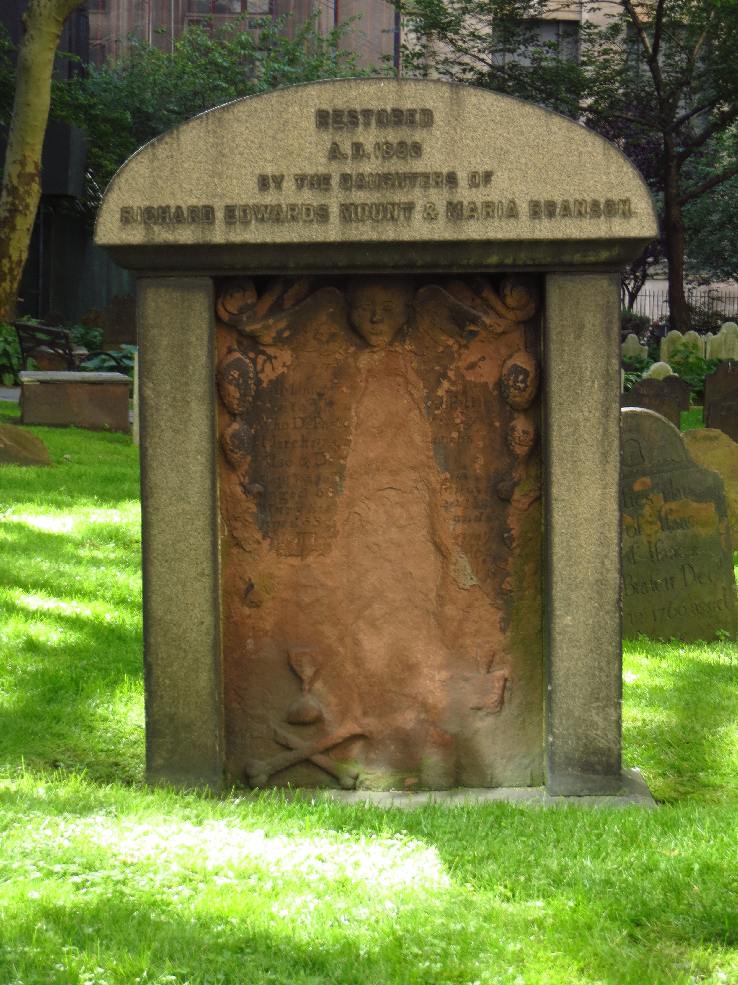
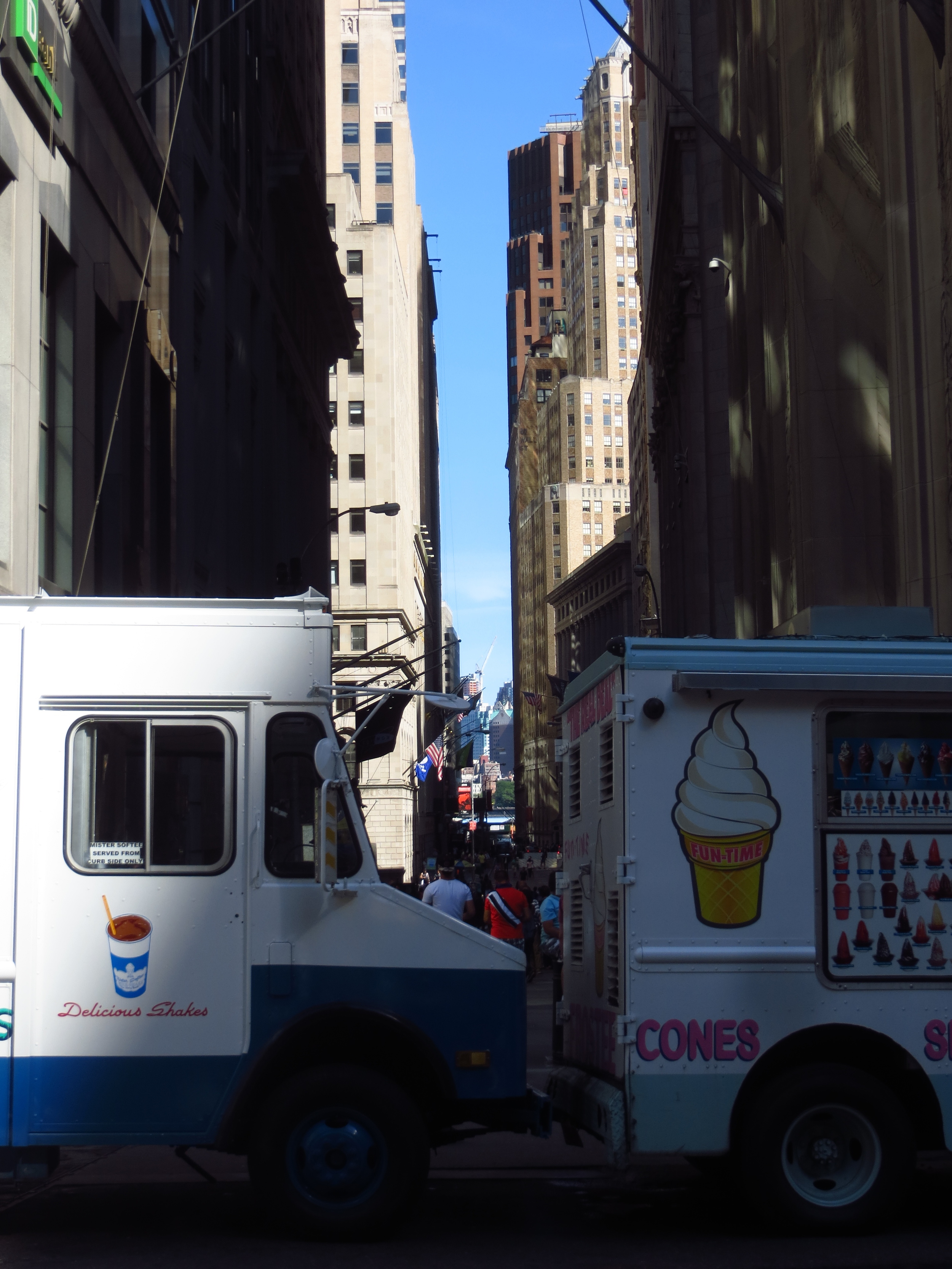
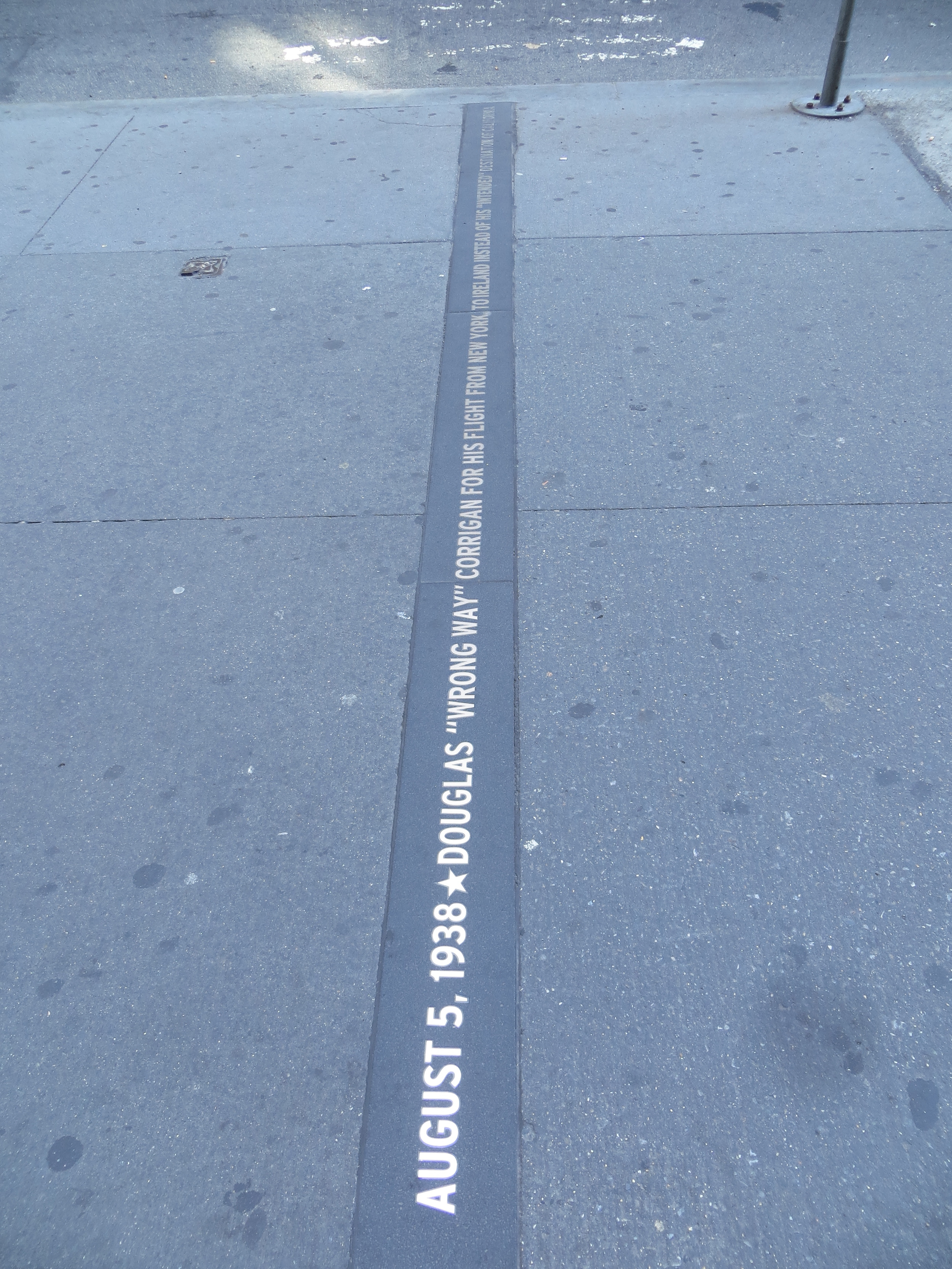
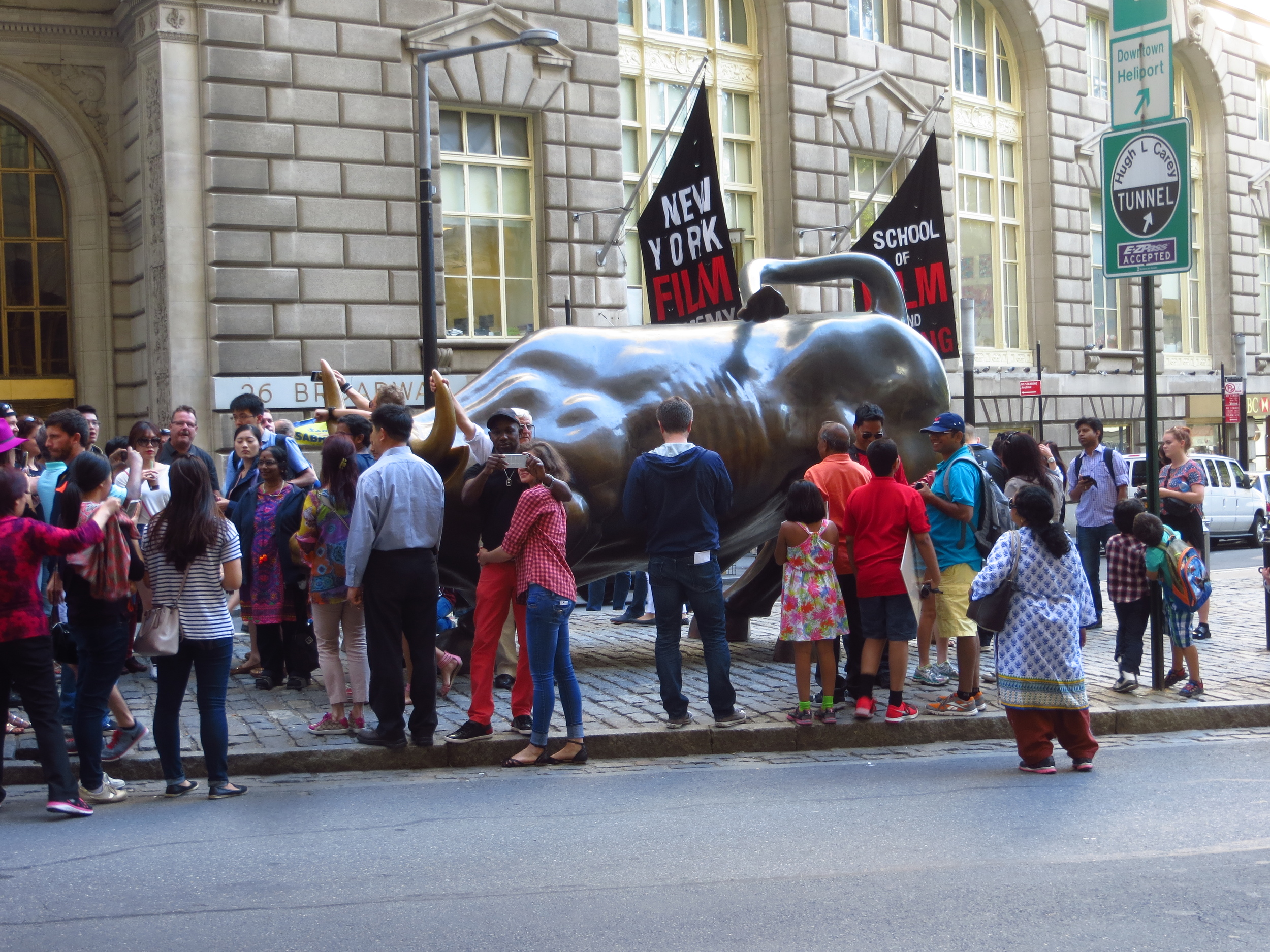
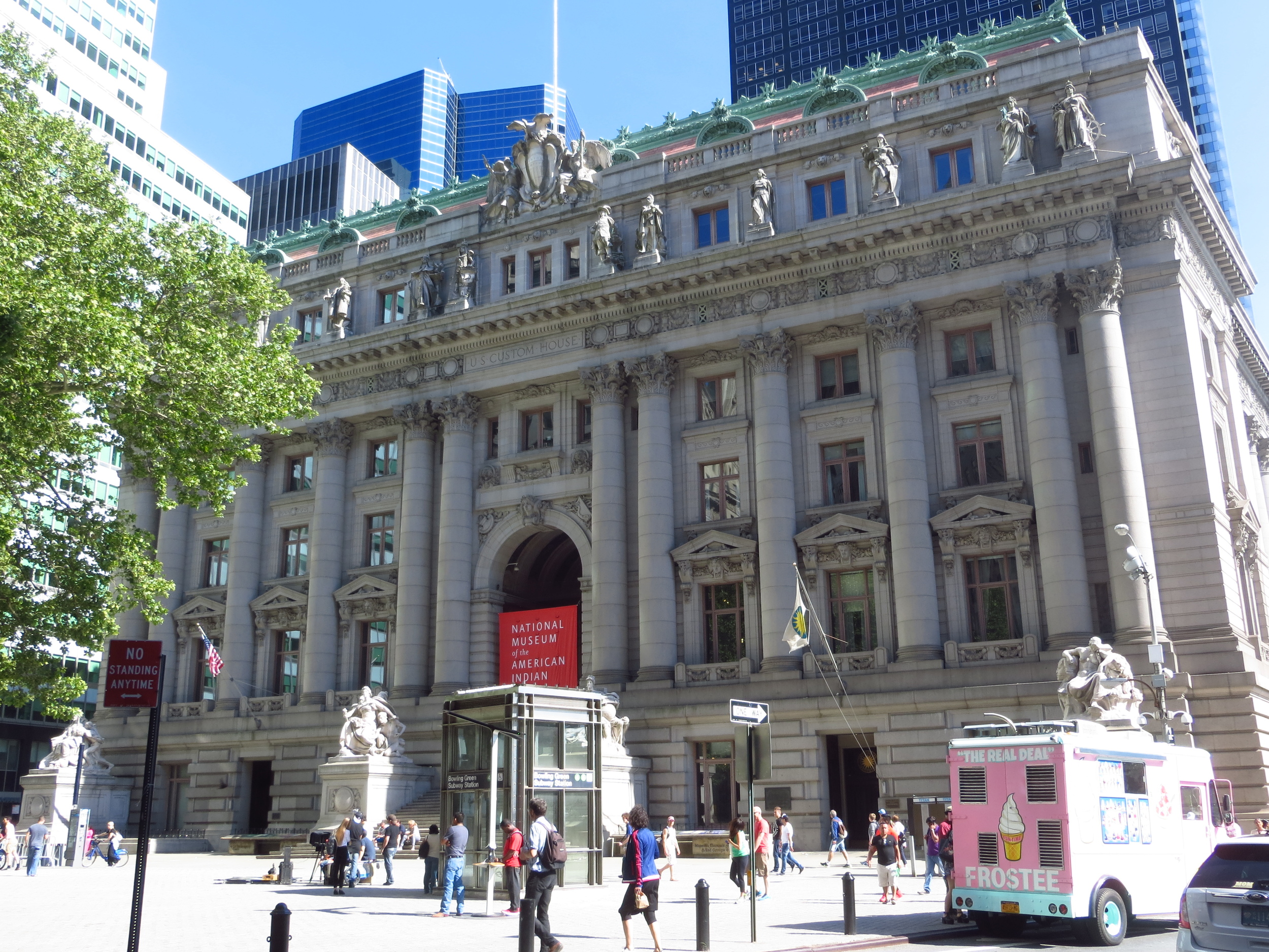
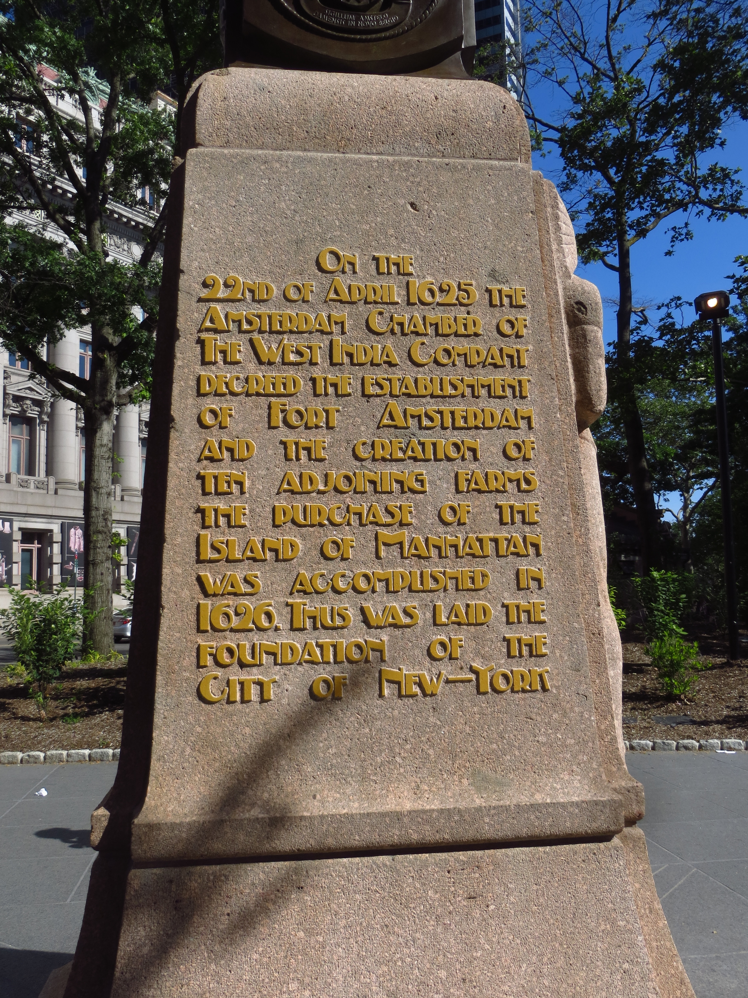
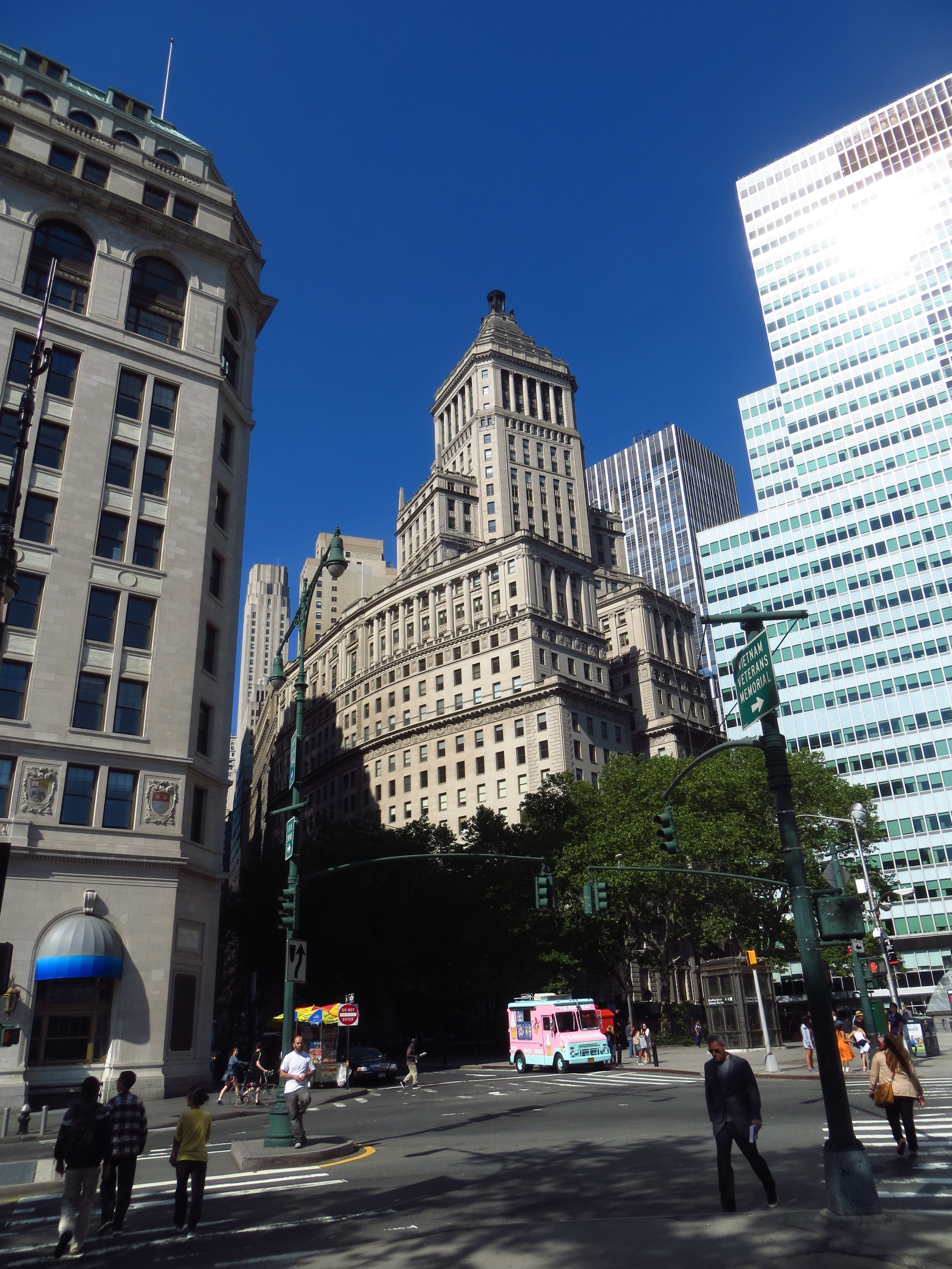
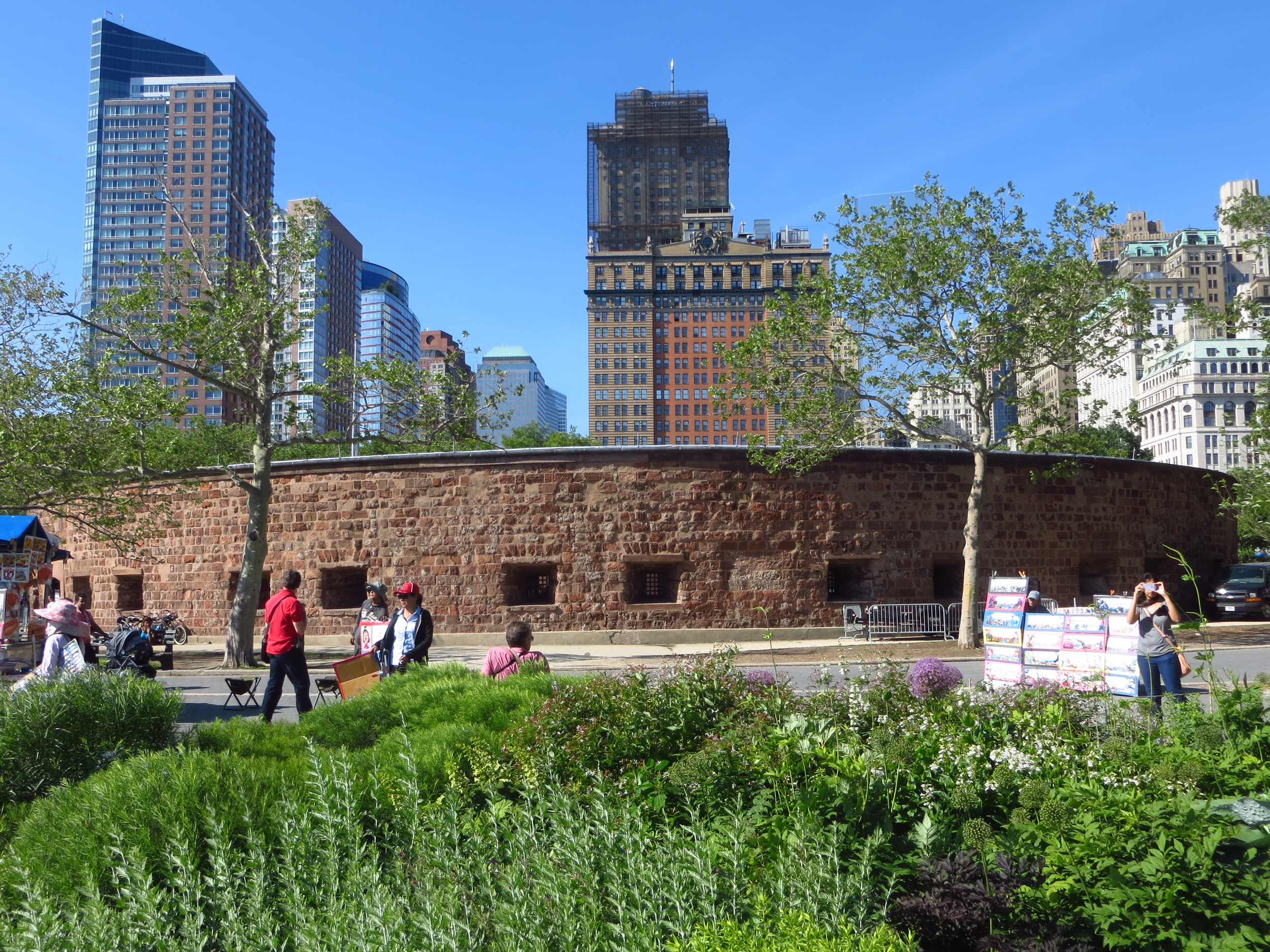
Broadway travels straight up from Battery Park, through the Financial District, passing old New York landmarks such as Bowling Green, Trinity Church, and St. Paul Chapel. It also hosts the Charging Bull of Wall Street statue, which for some reason isn't on Wall Street. This section is sometimes called the "Canyon of Heroes", as it was the historical location of the City's iconic ticker-tape parades. There are markers in the side walk for each of these parades, listing the date and the notable person or people being honored. Some are kind of cool (astronauts, pioneering aviators, olympians, powerful heads of state, etc.), but for some of them you have to wonder if they were just long on ticker-tape and needed a reason to get rid of it.
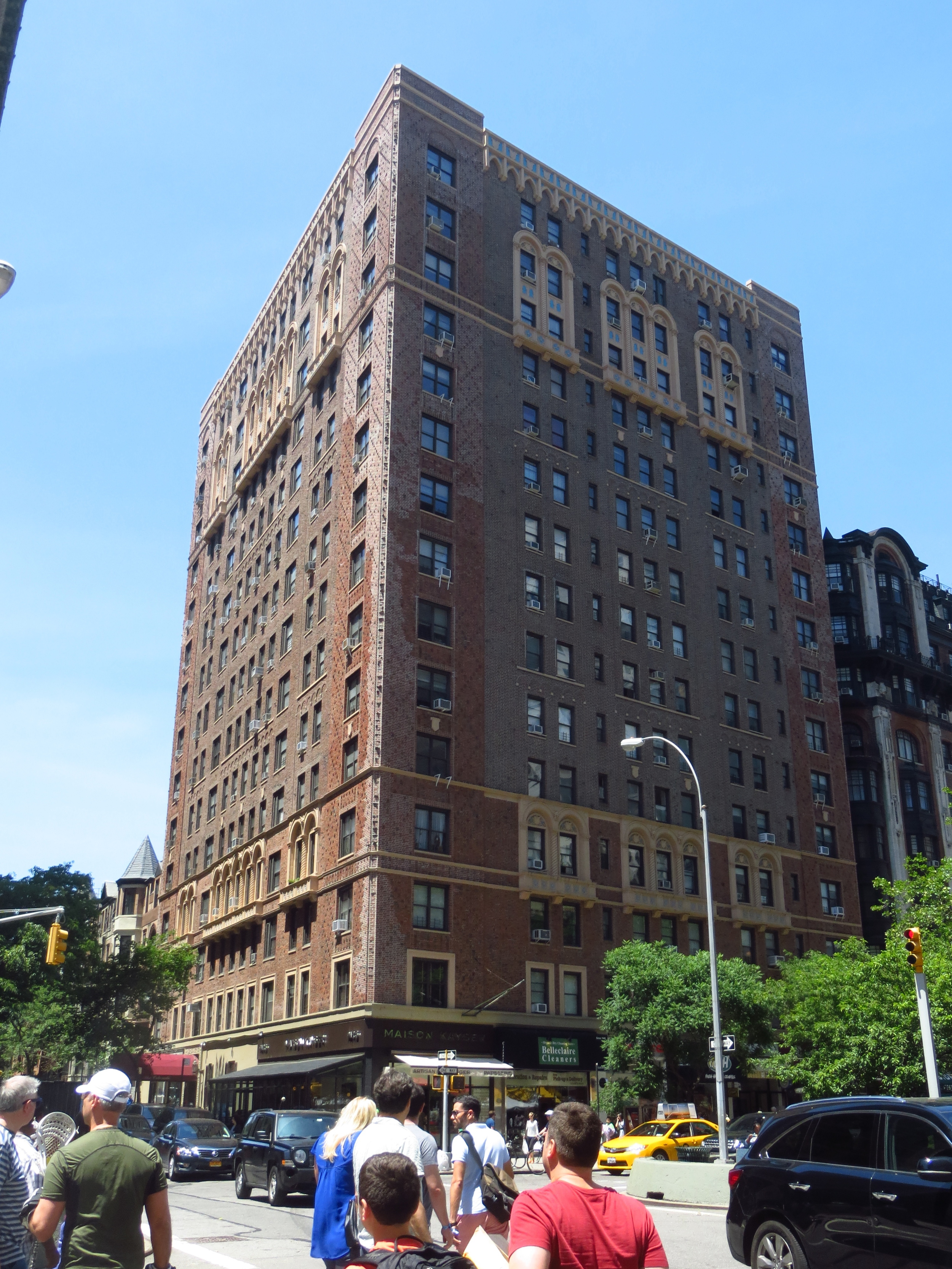
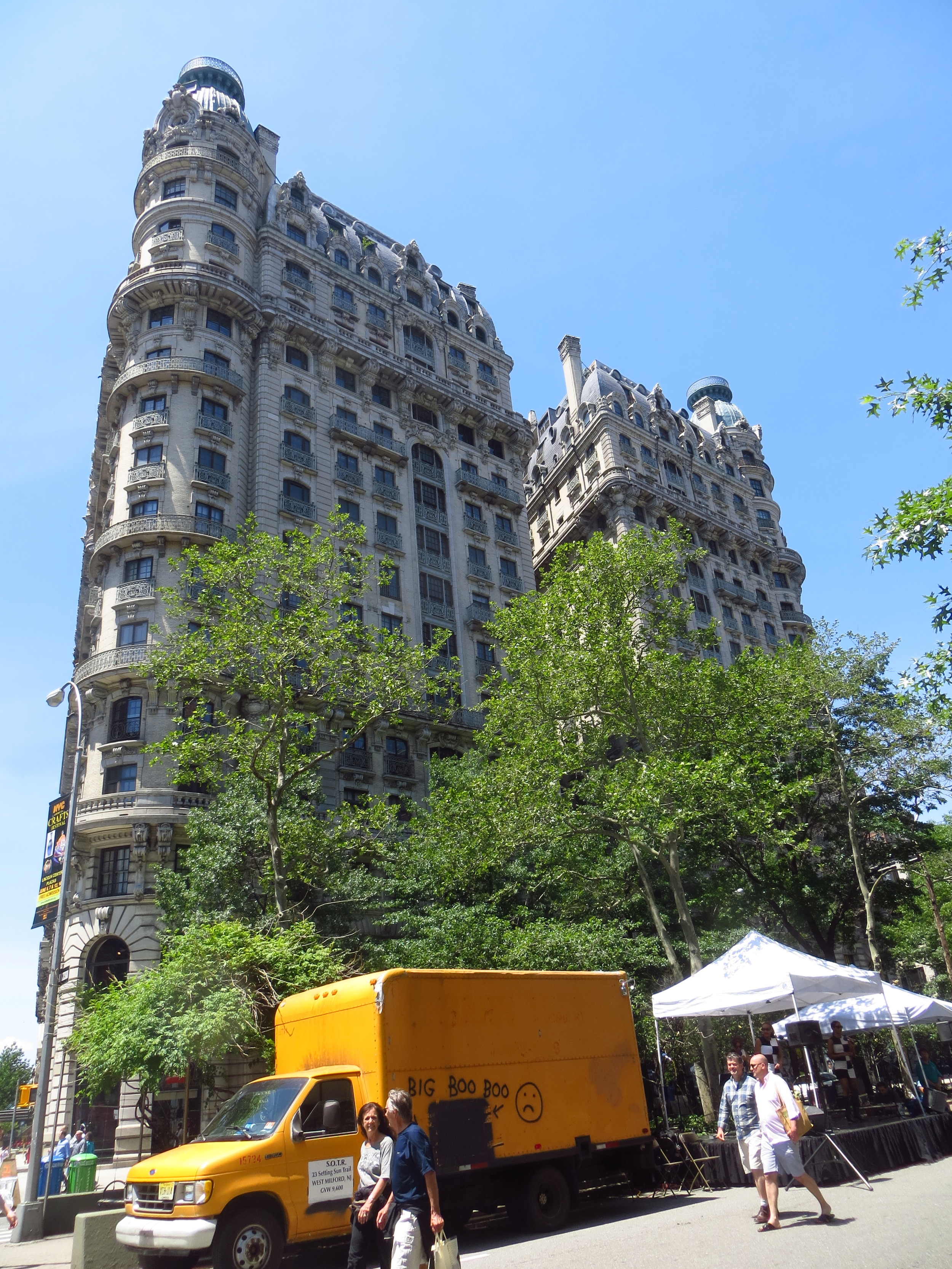
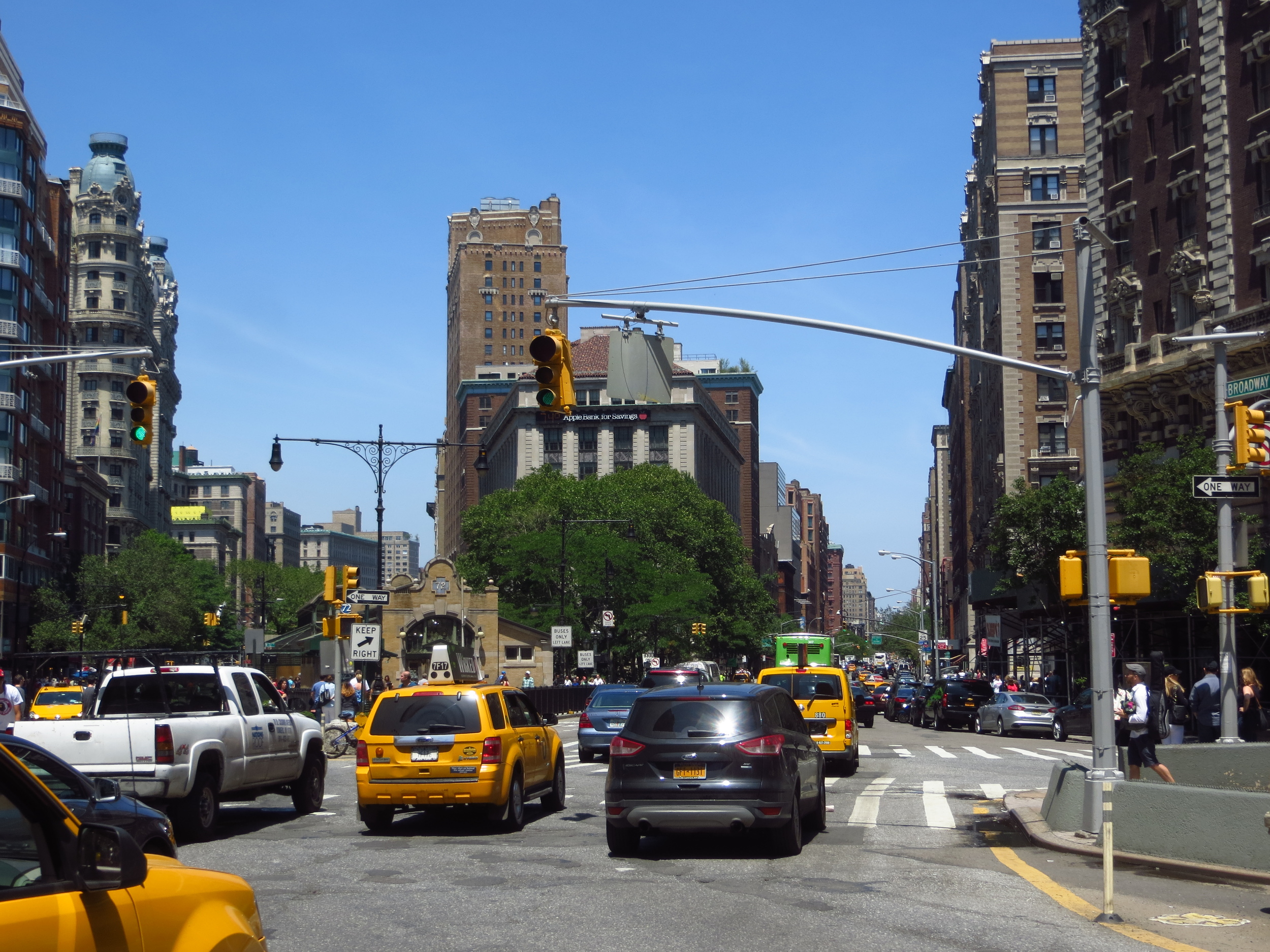
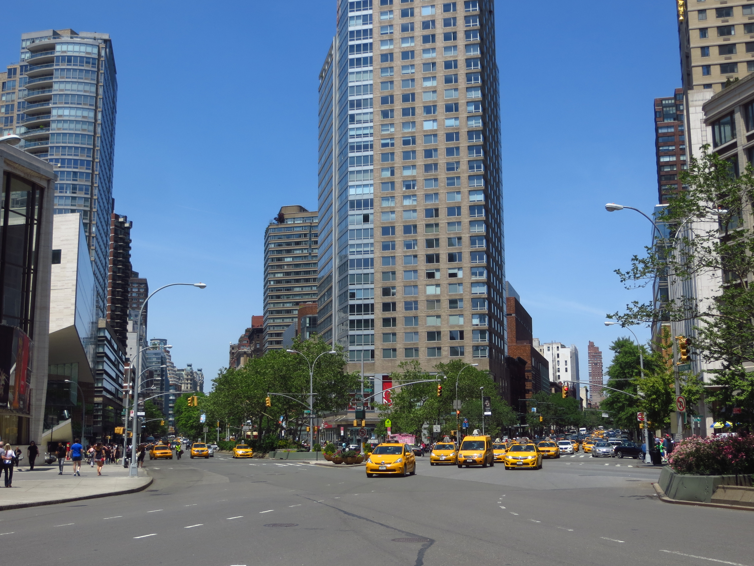
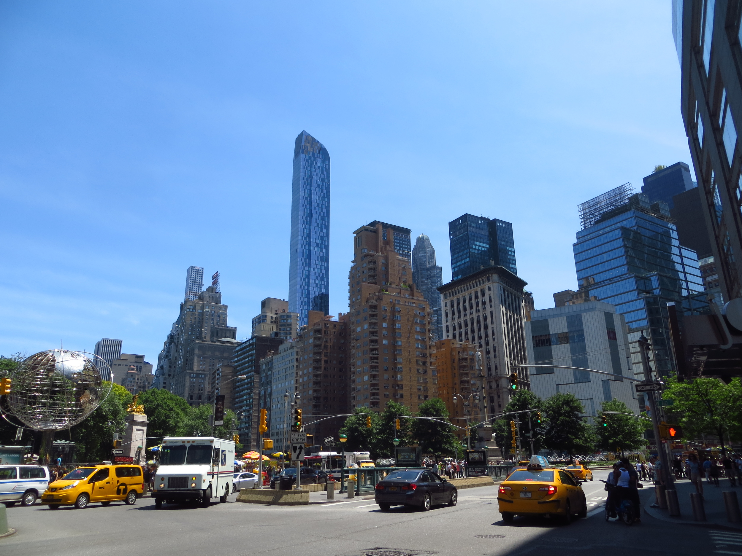
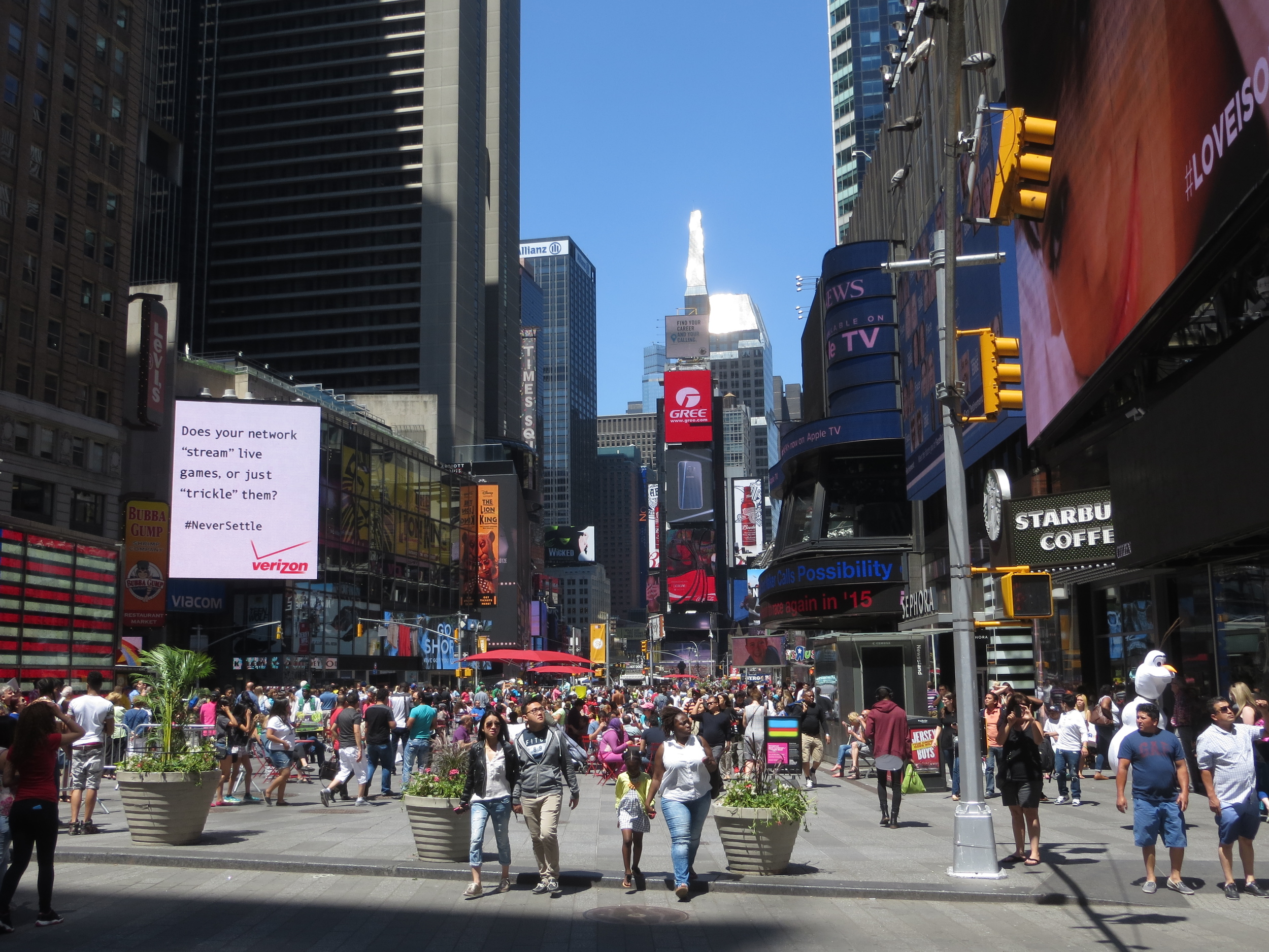
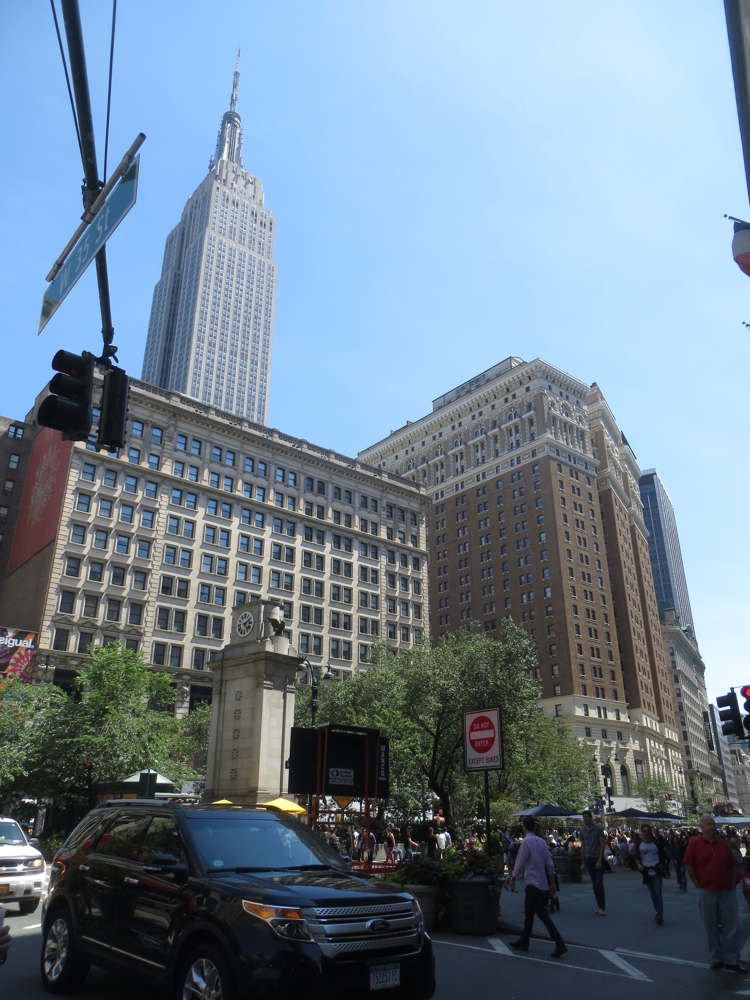
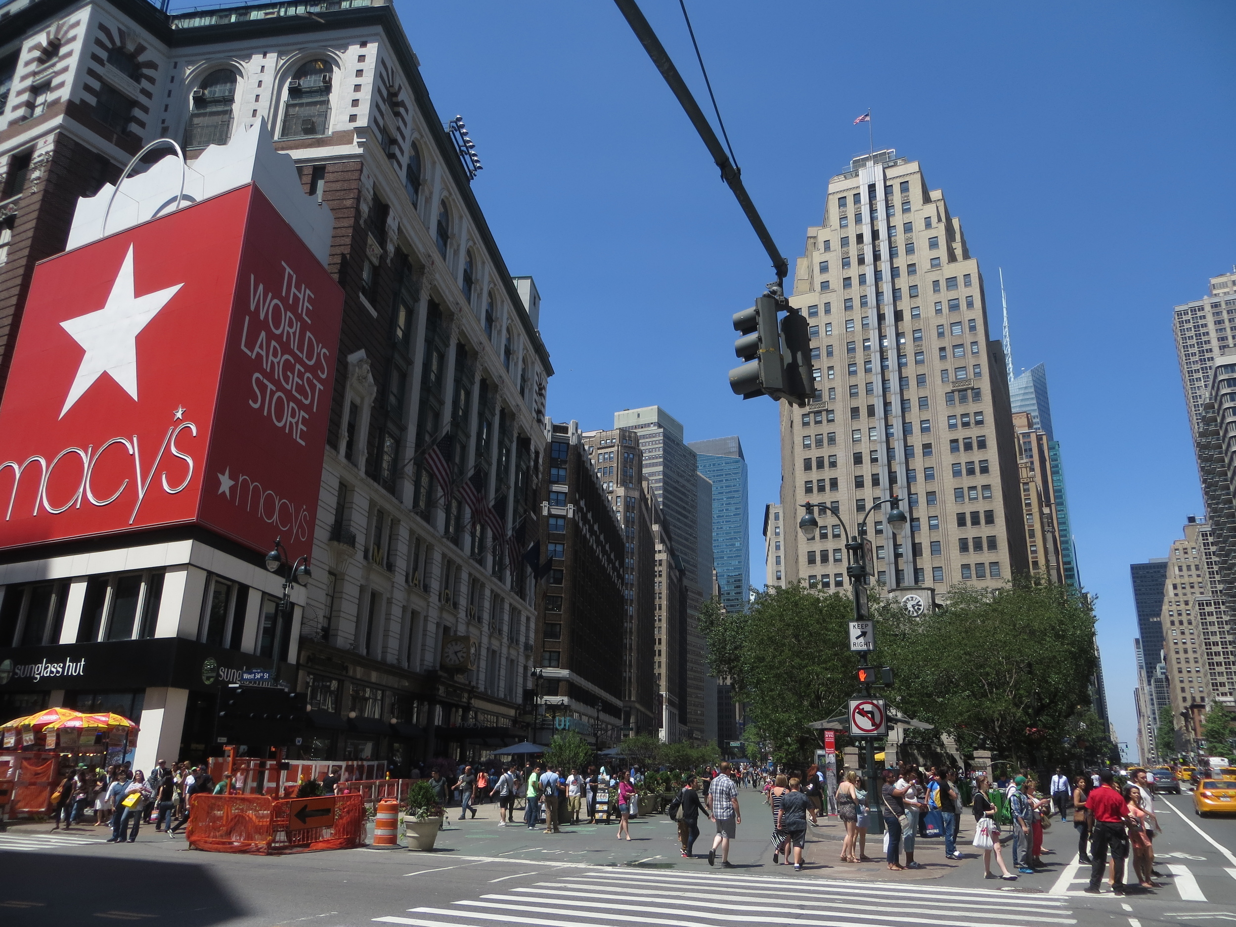
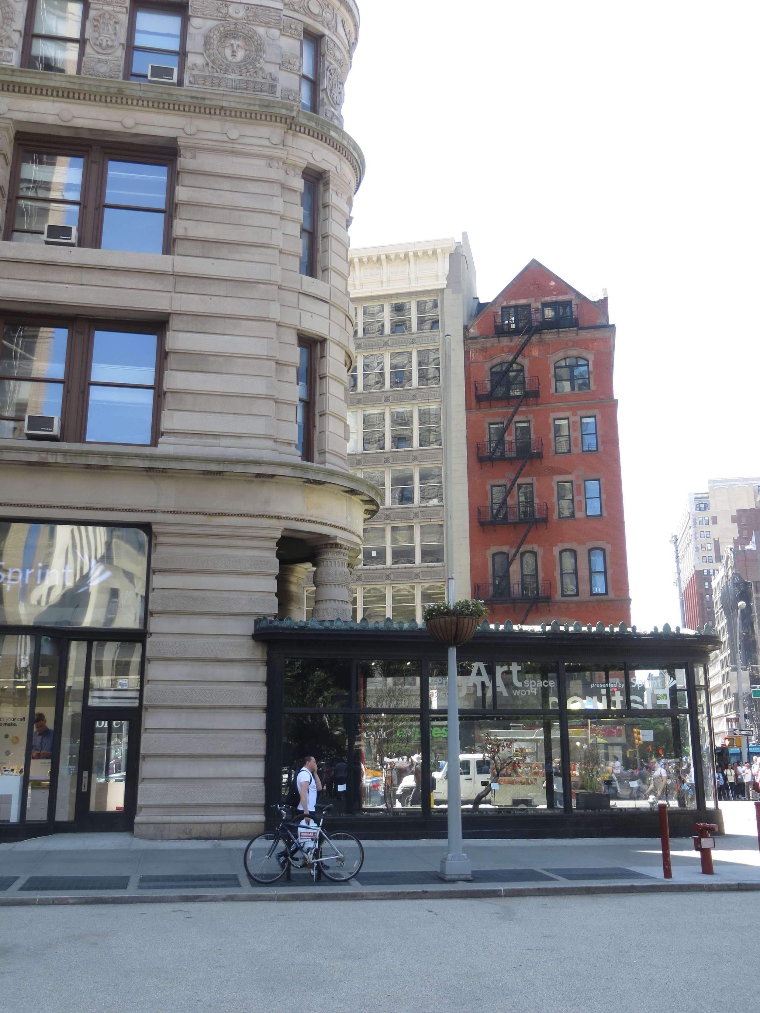
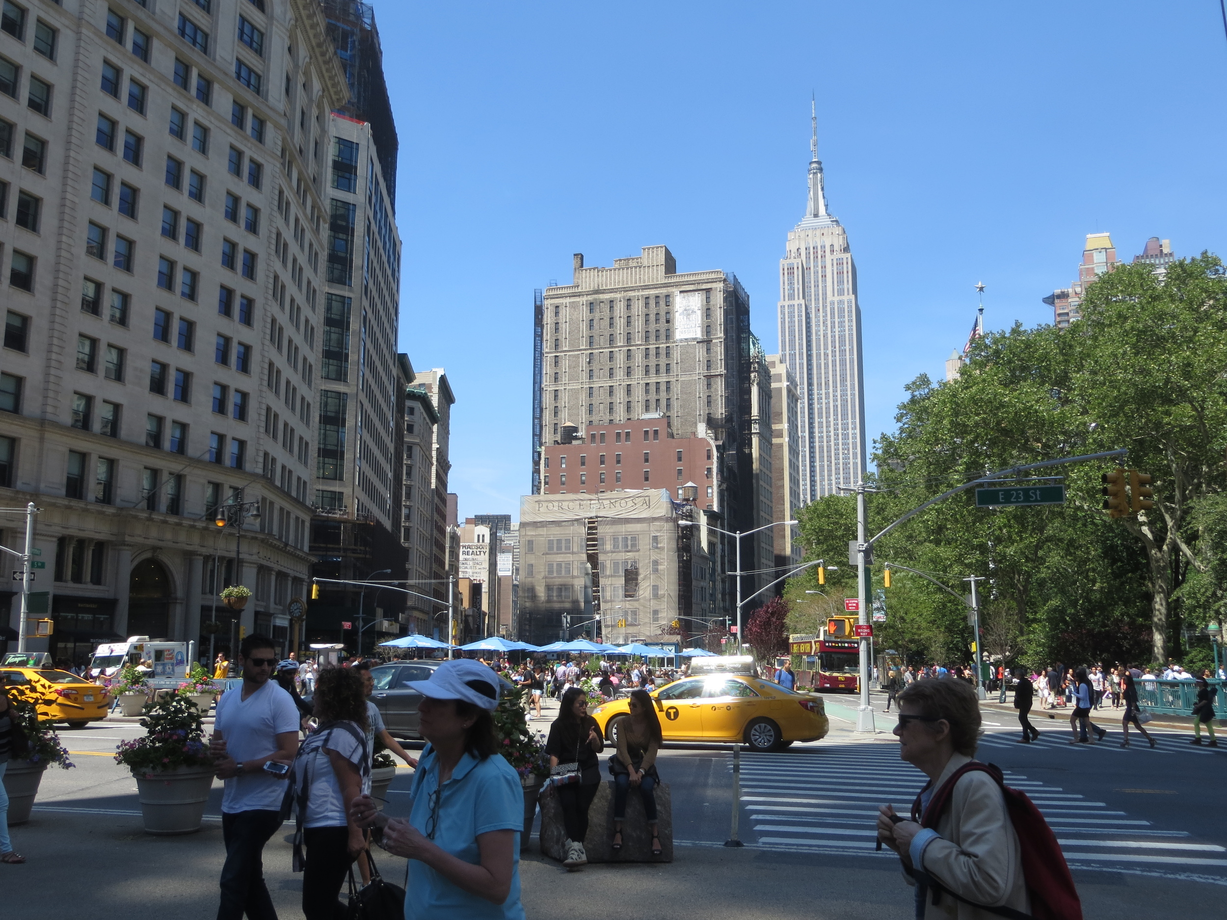
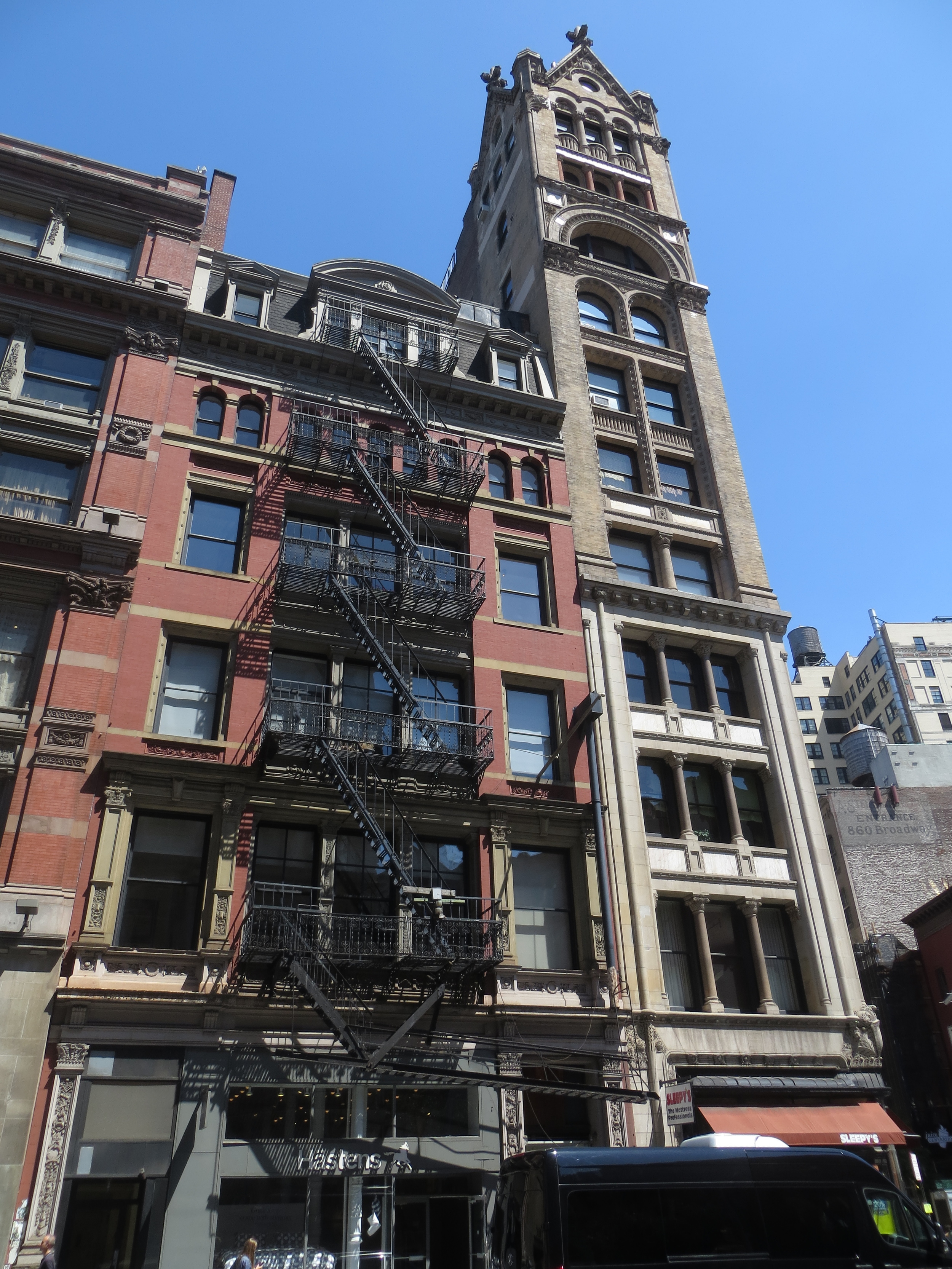
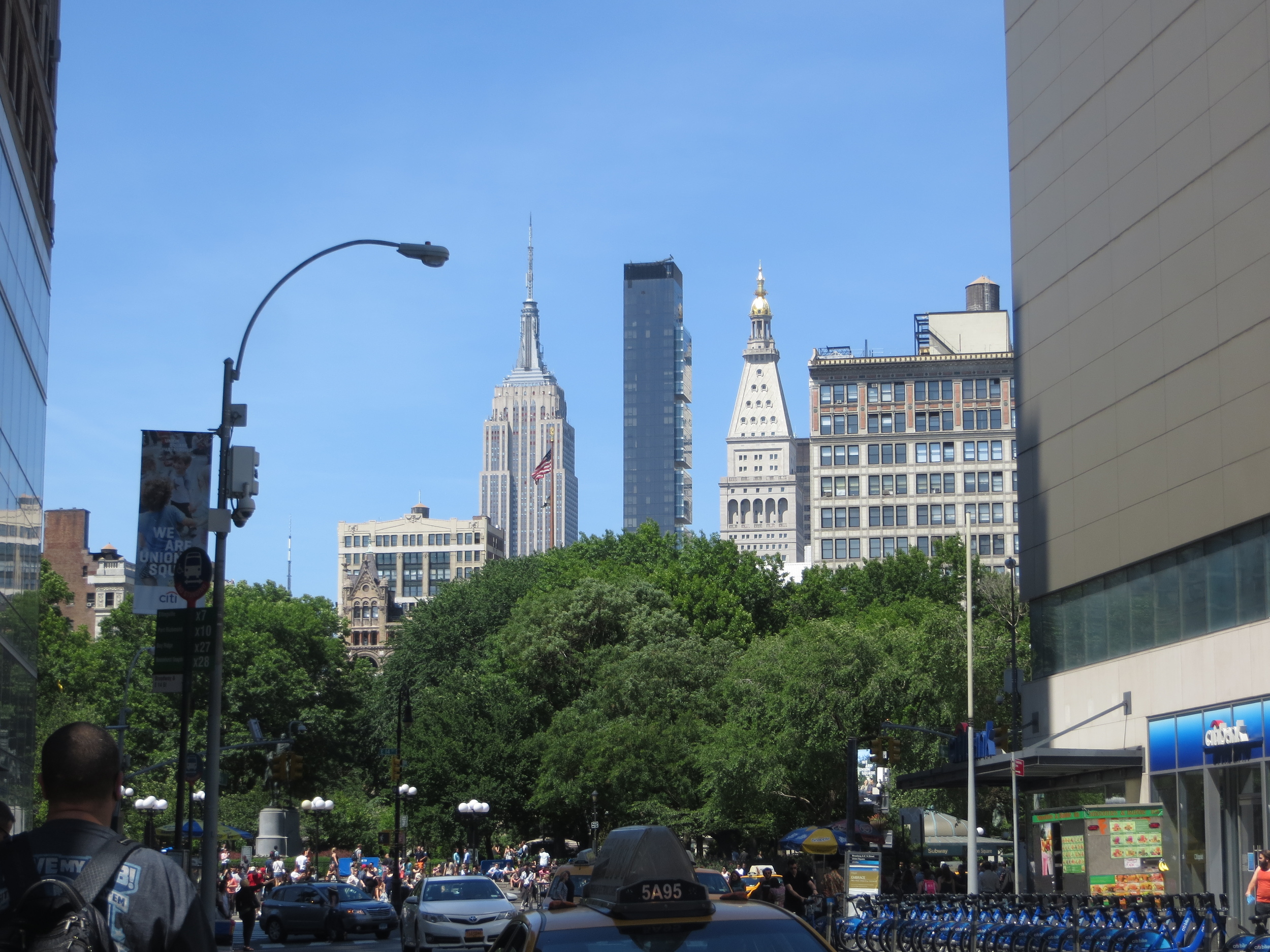
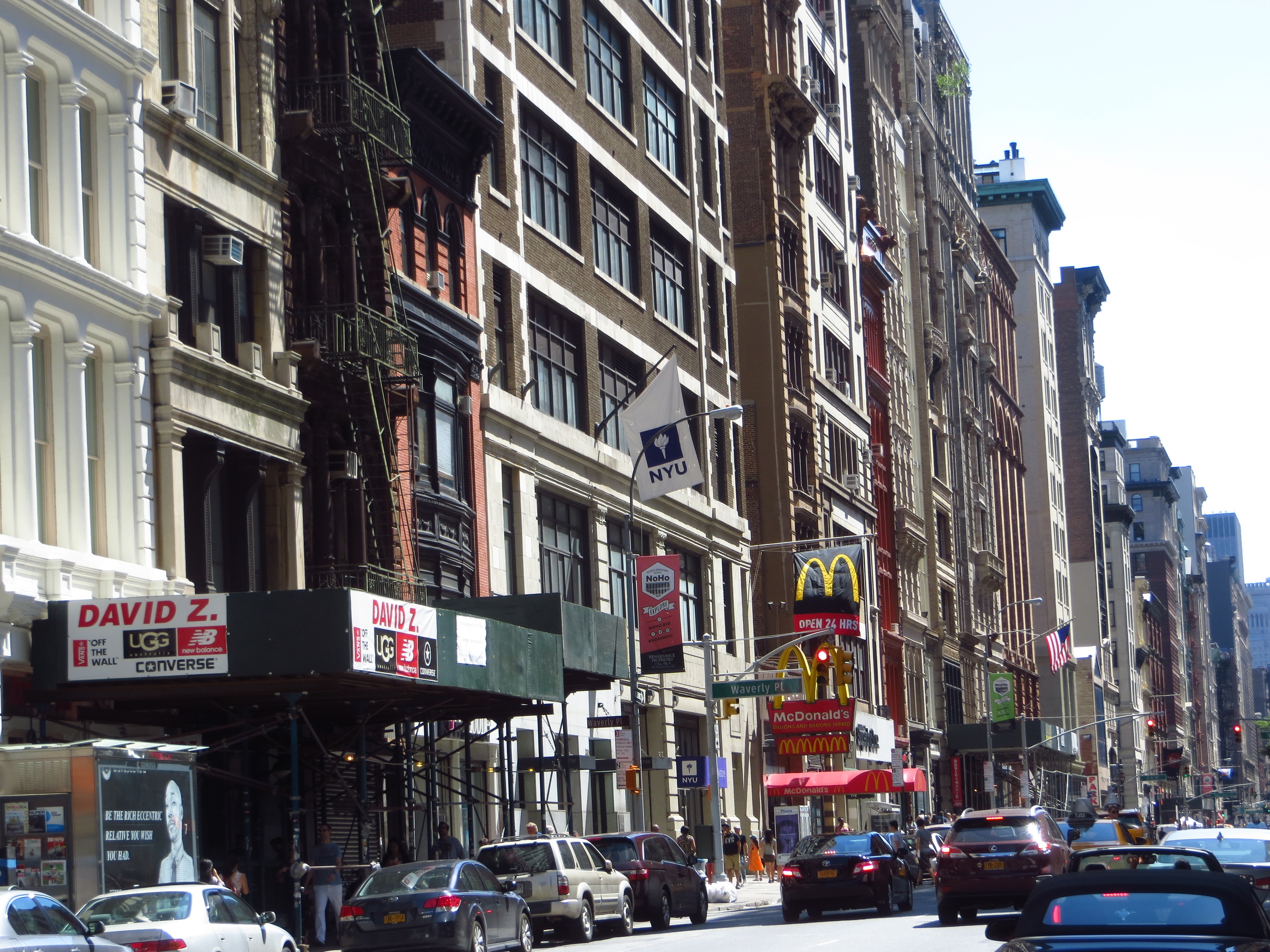
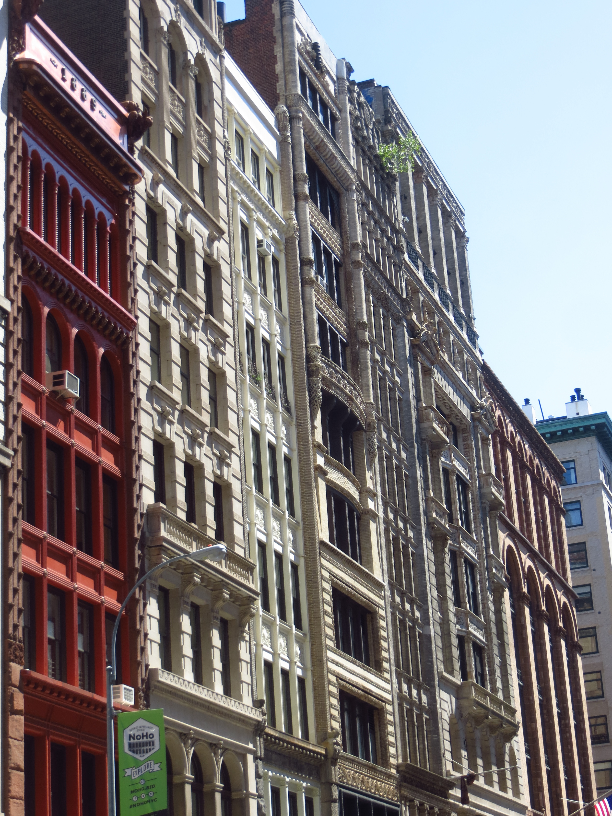
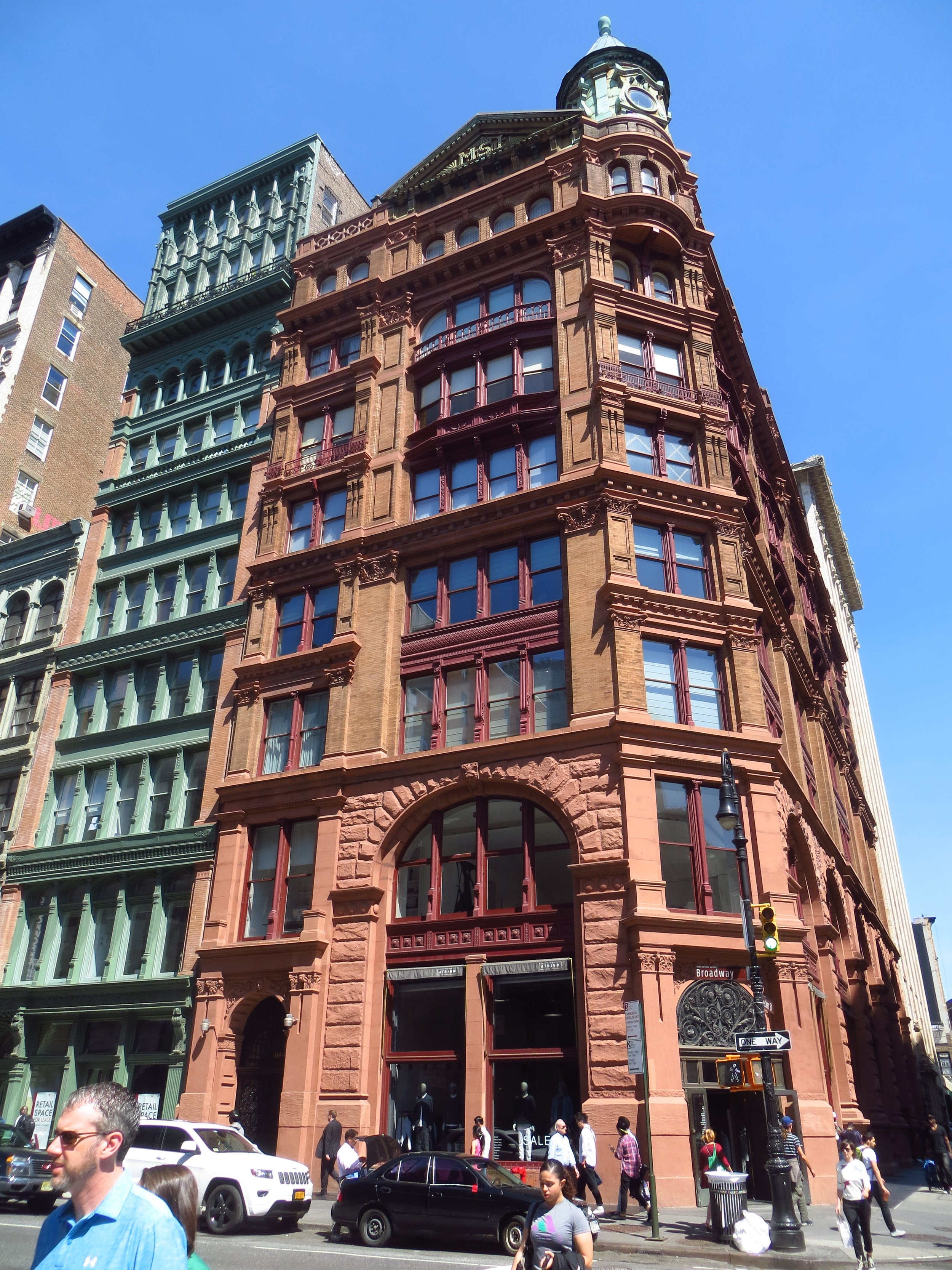
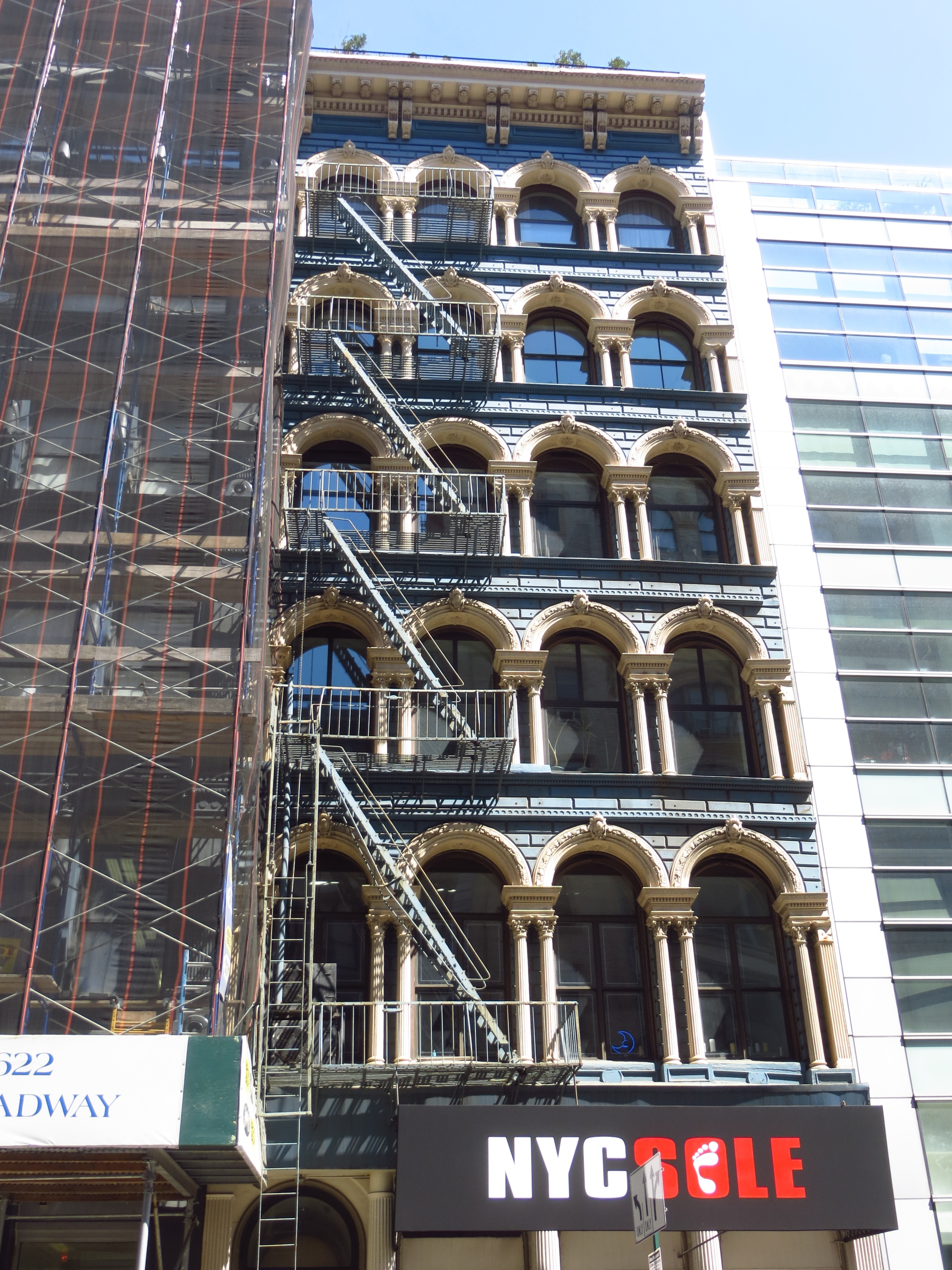
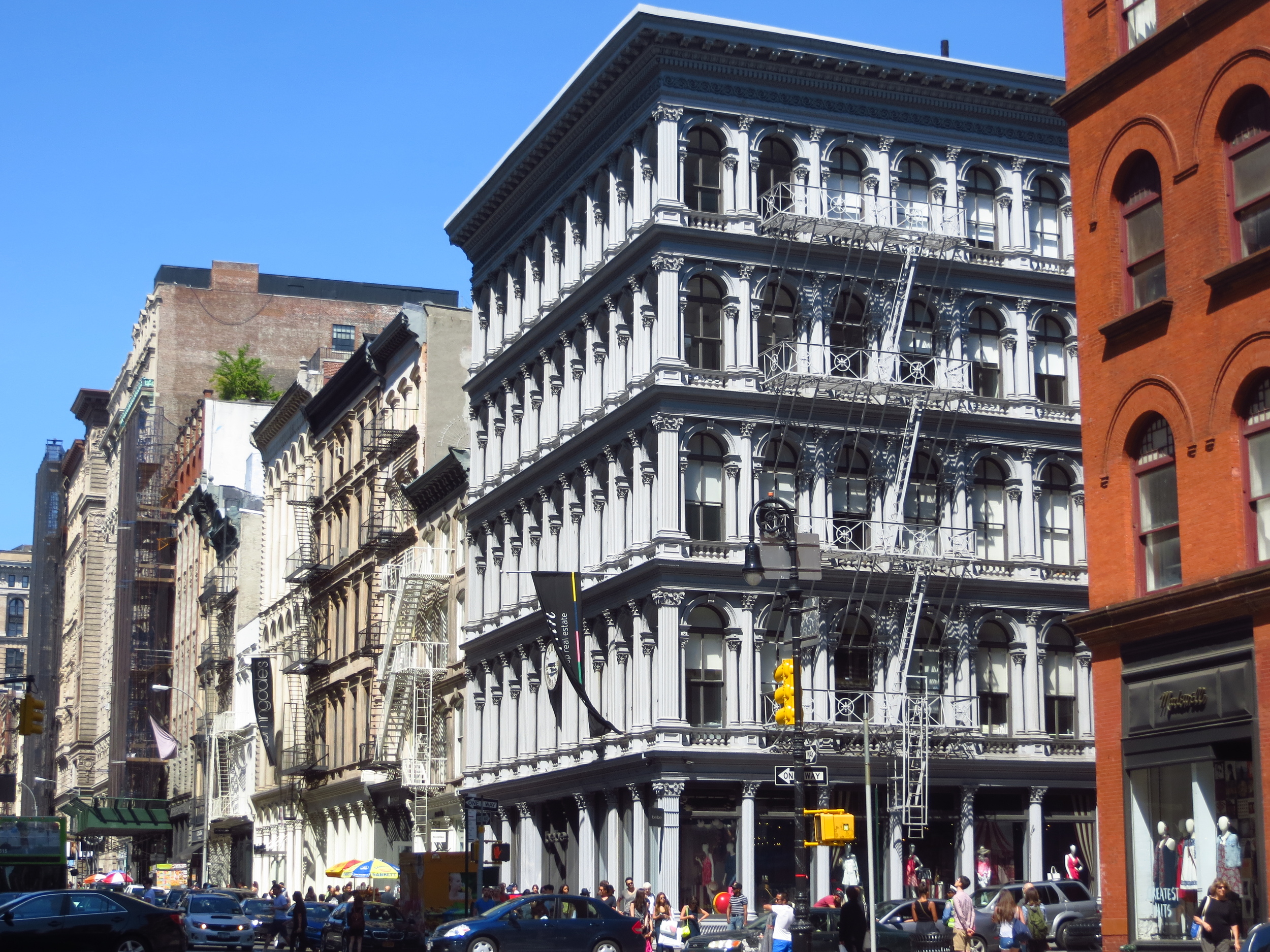
Above the Financial District, Broadway continues north, passing the Woolworth Building, City Hall, and SoHo, before angling west at 14th St. The street continues on a northwest path from 14th St. through 72nd St. on the Upper West Side, crossing through Midtown at an angle. The irregular intersections formed by Broadway intersecting the north-south avenues created many of New York's well-known squares, beginning with Union Square at Park Ave. and 14th St., followed by Madison Square at 5th Ave. and 23rd St. (where it forms the distinctive outline of the Flatiron Building), Herald Square at 6th Ave. and 33rd St., Times Square at 7th Ave. and 45th St. (around which lies the City's famed theater district), and finally Columbus Circle (okay, not really a square) at 8th Ave. and 59th St.
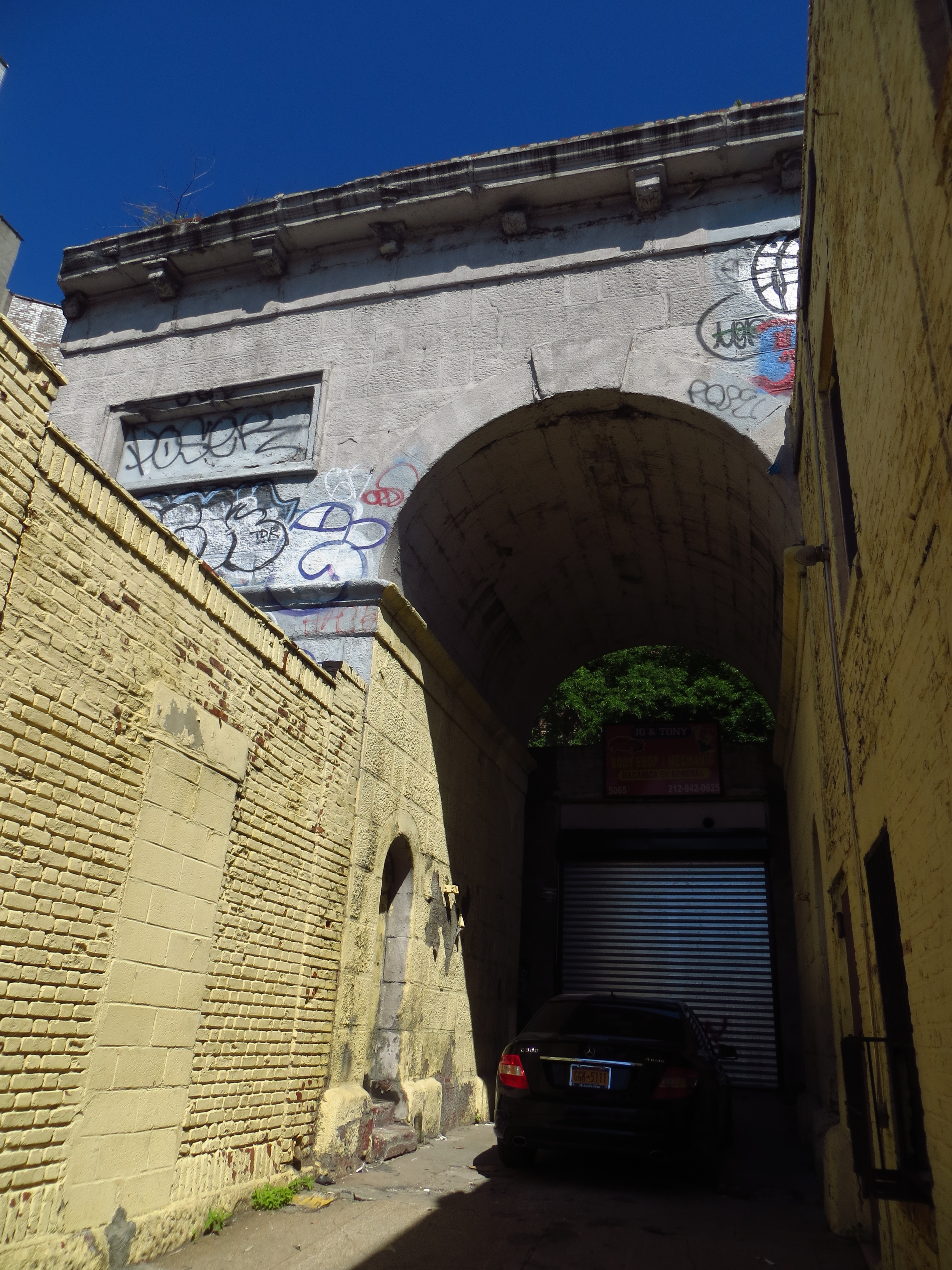
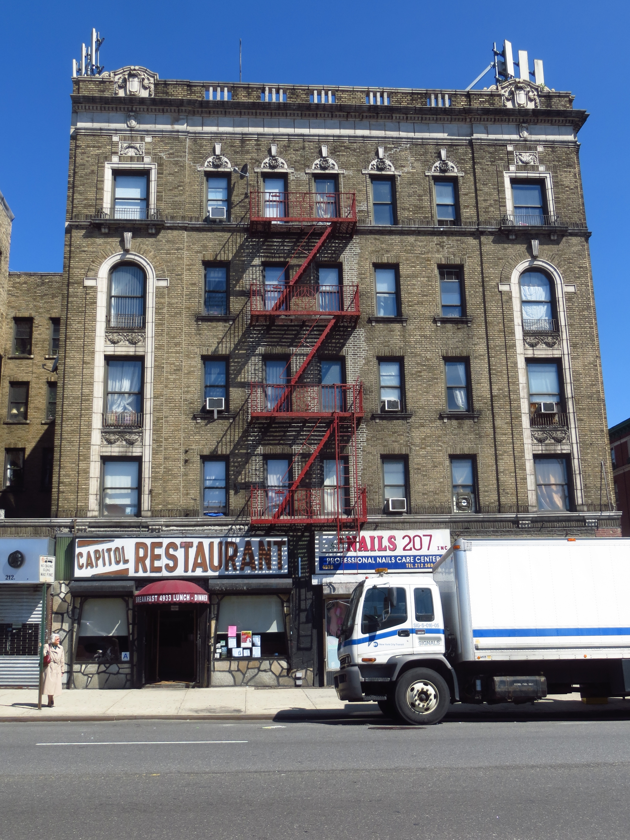
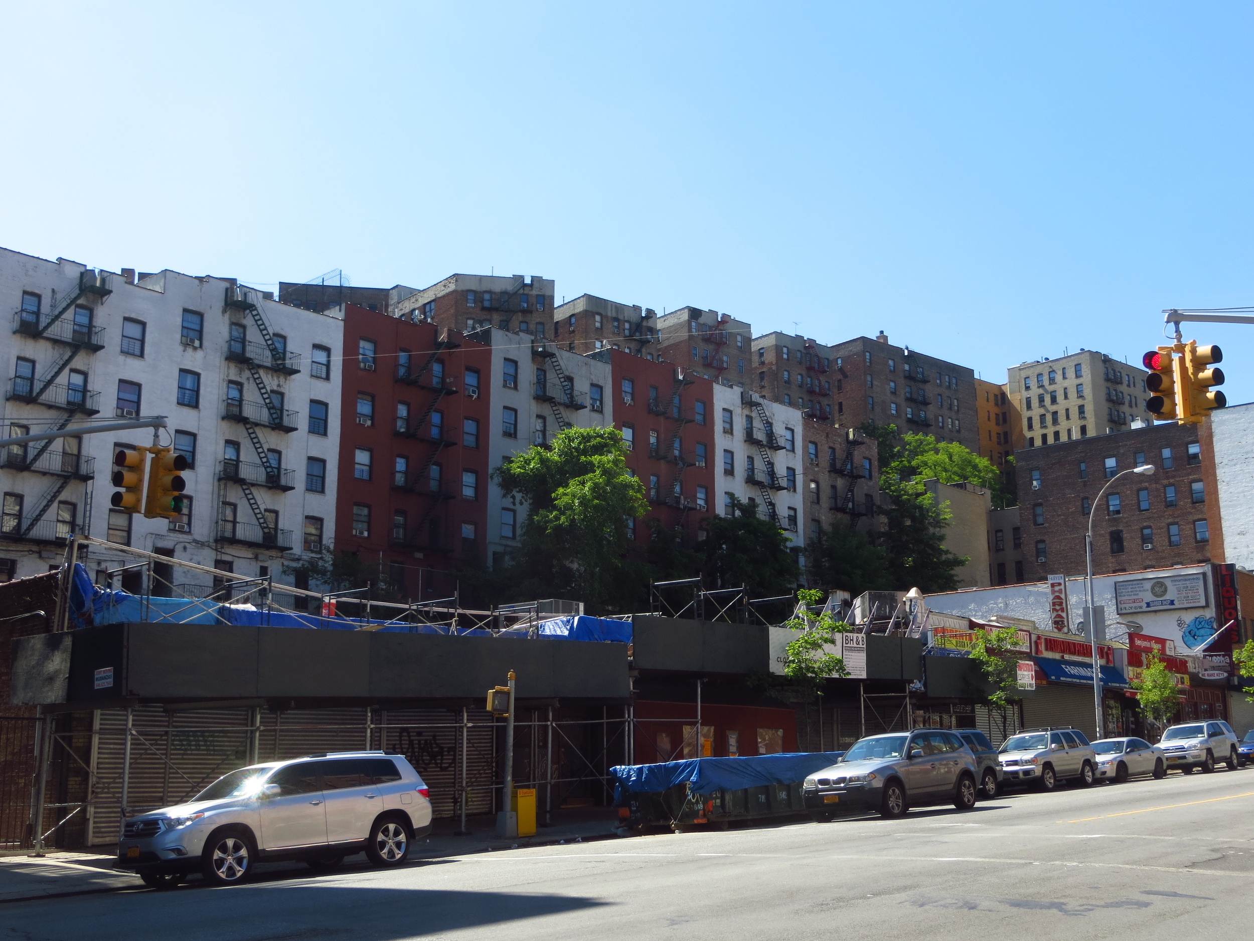
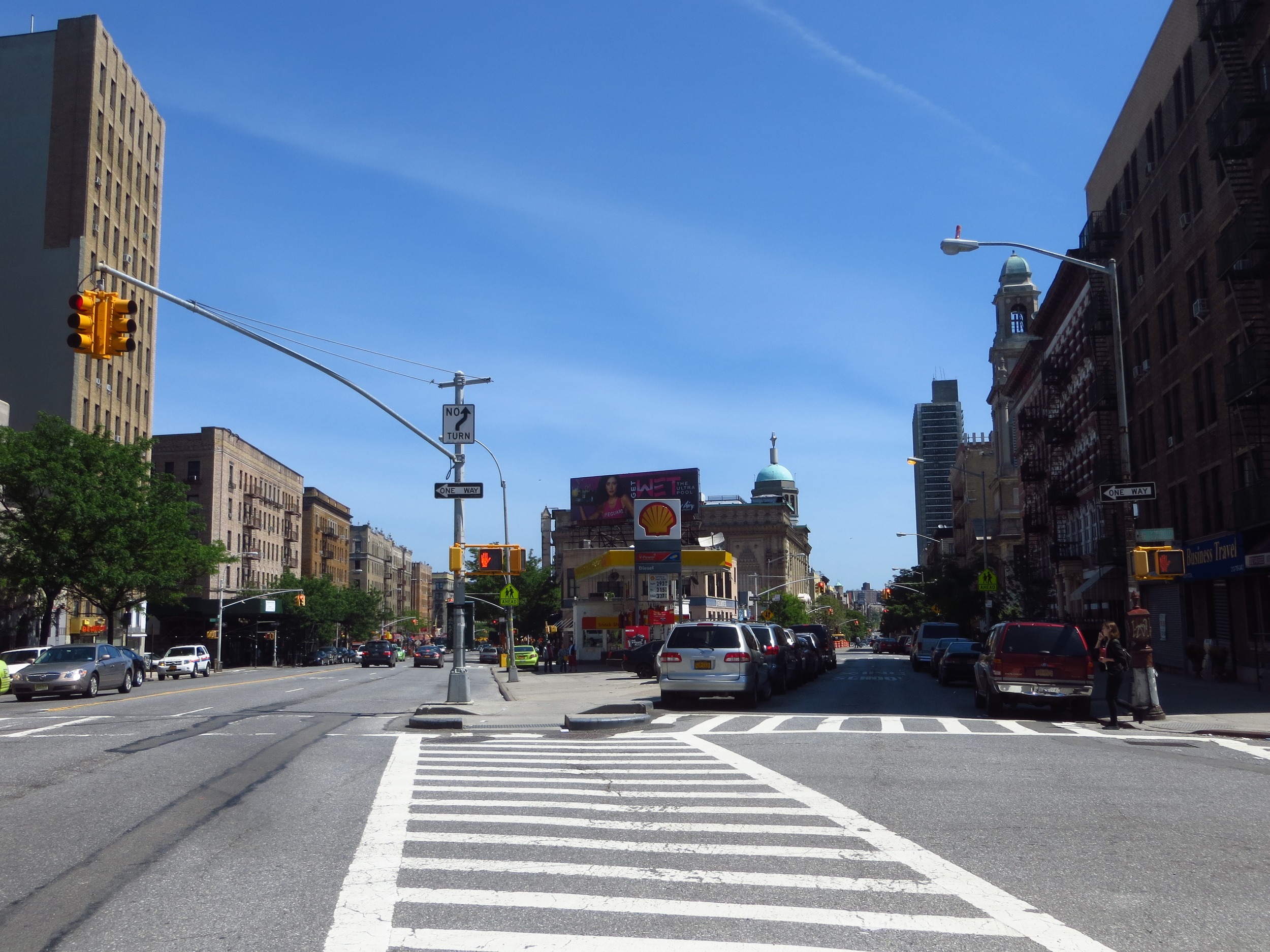
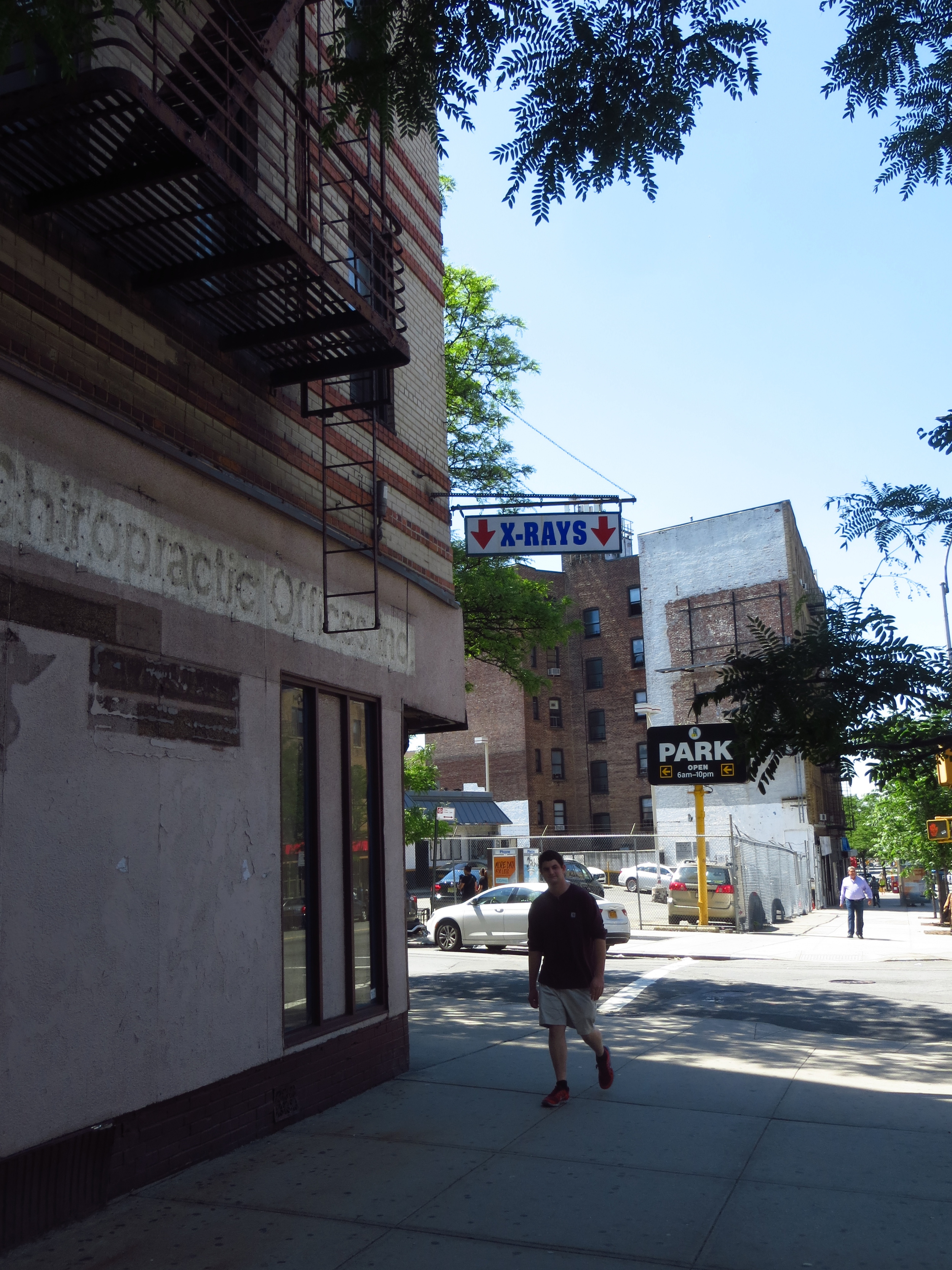
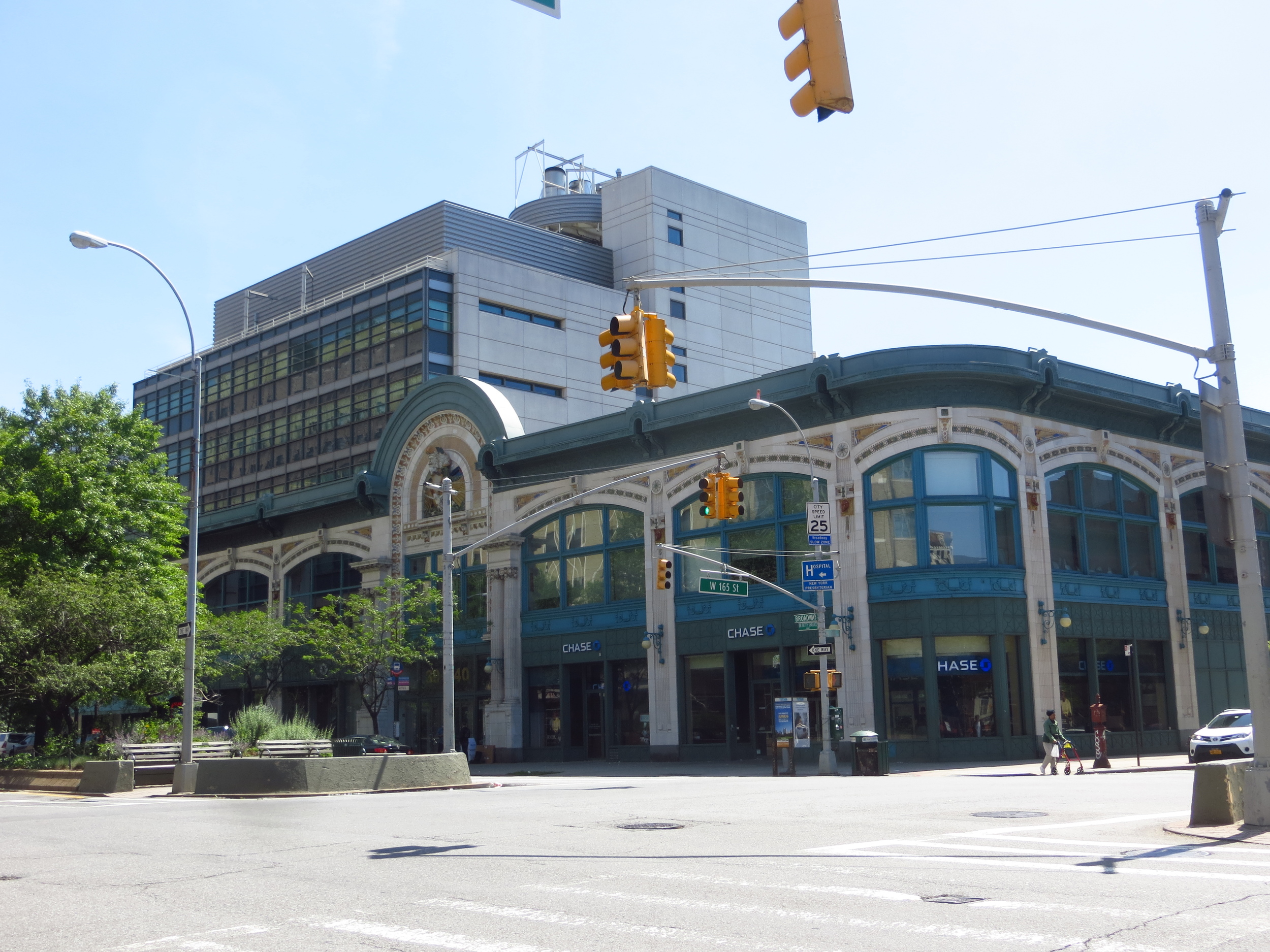
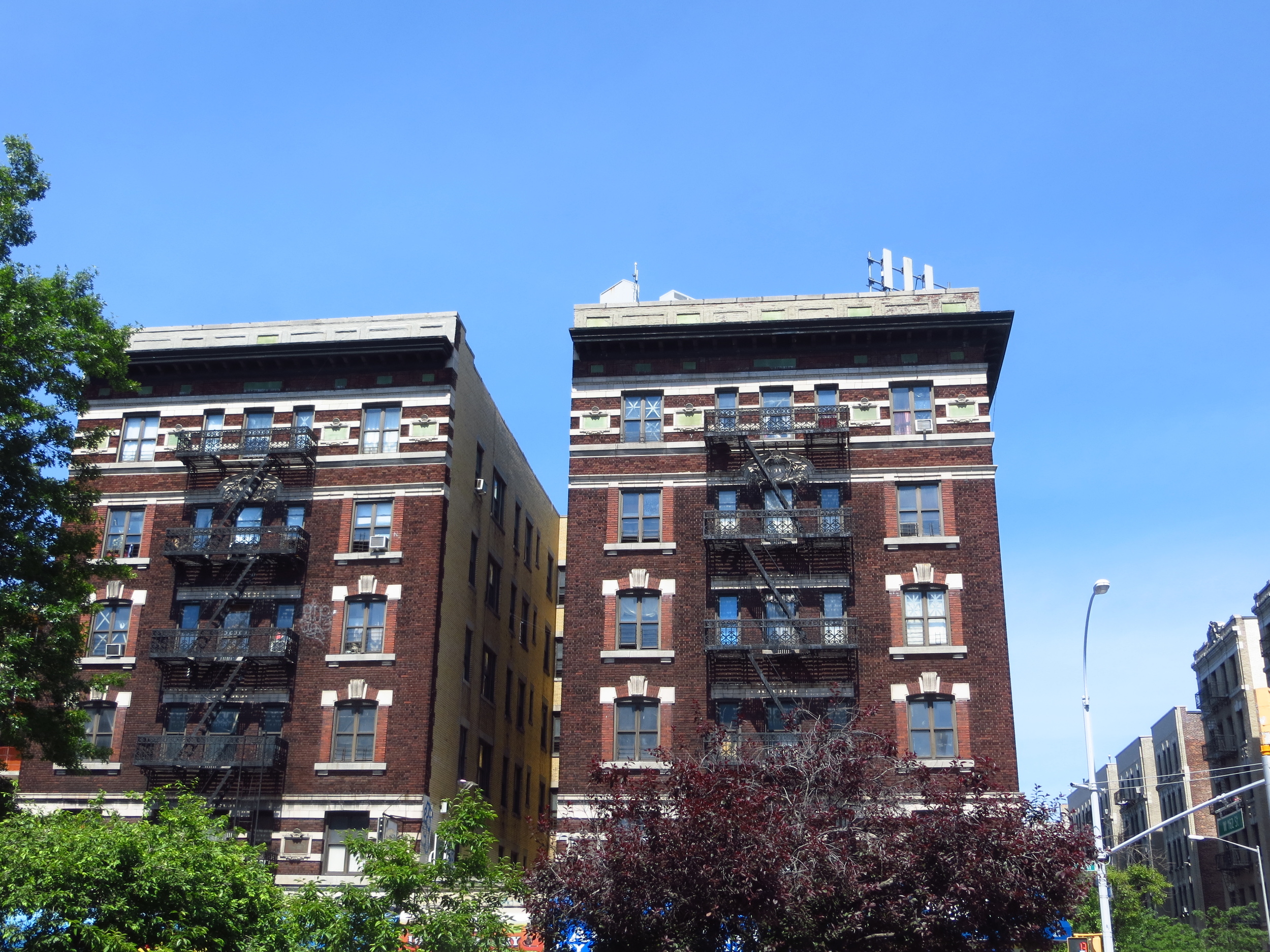
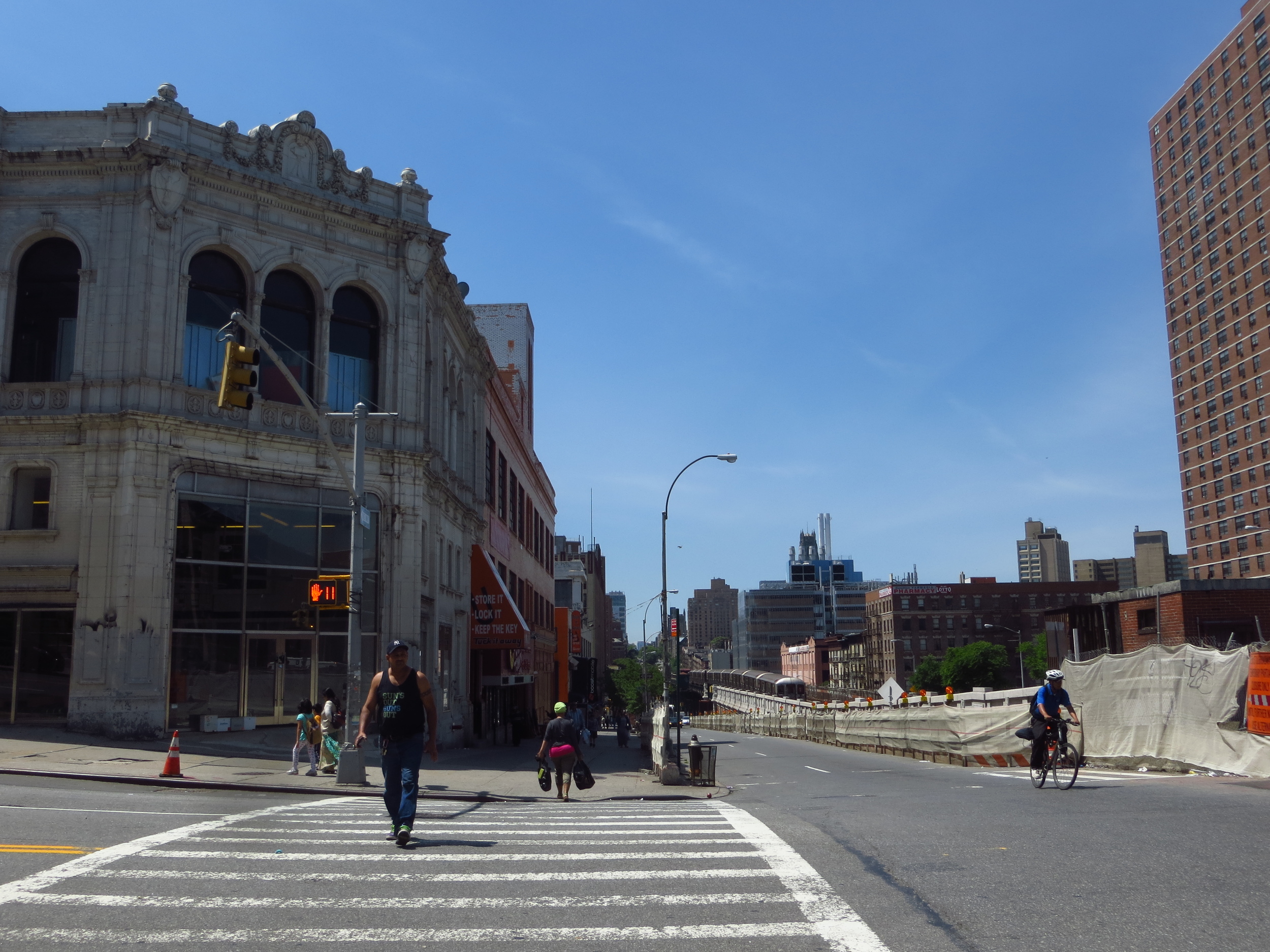
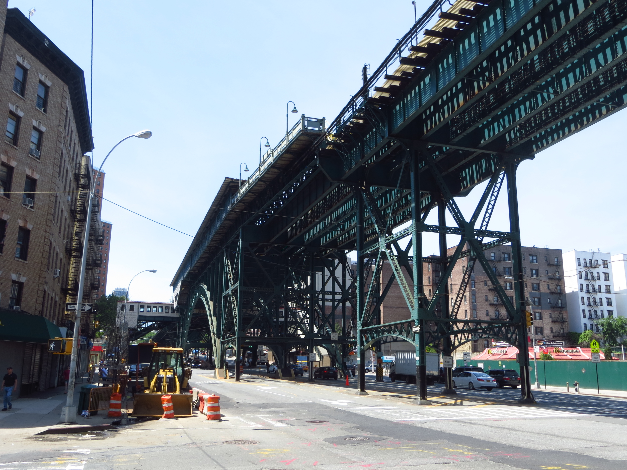
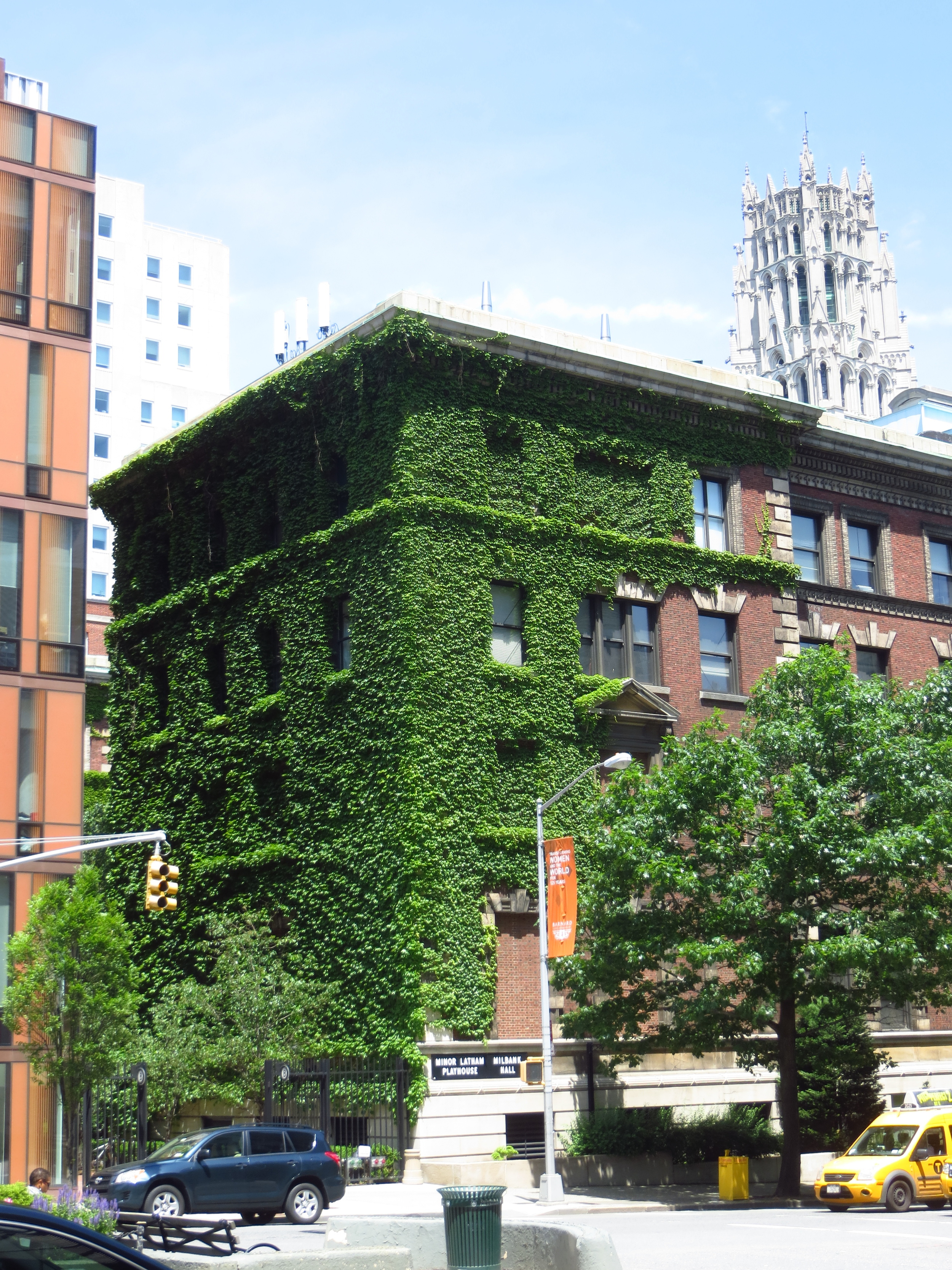
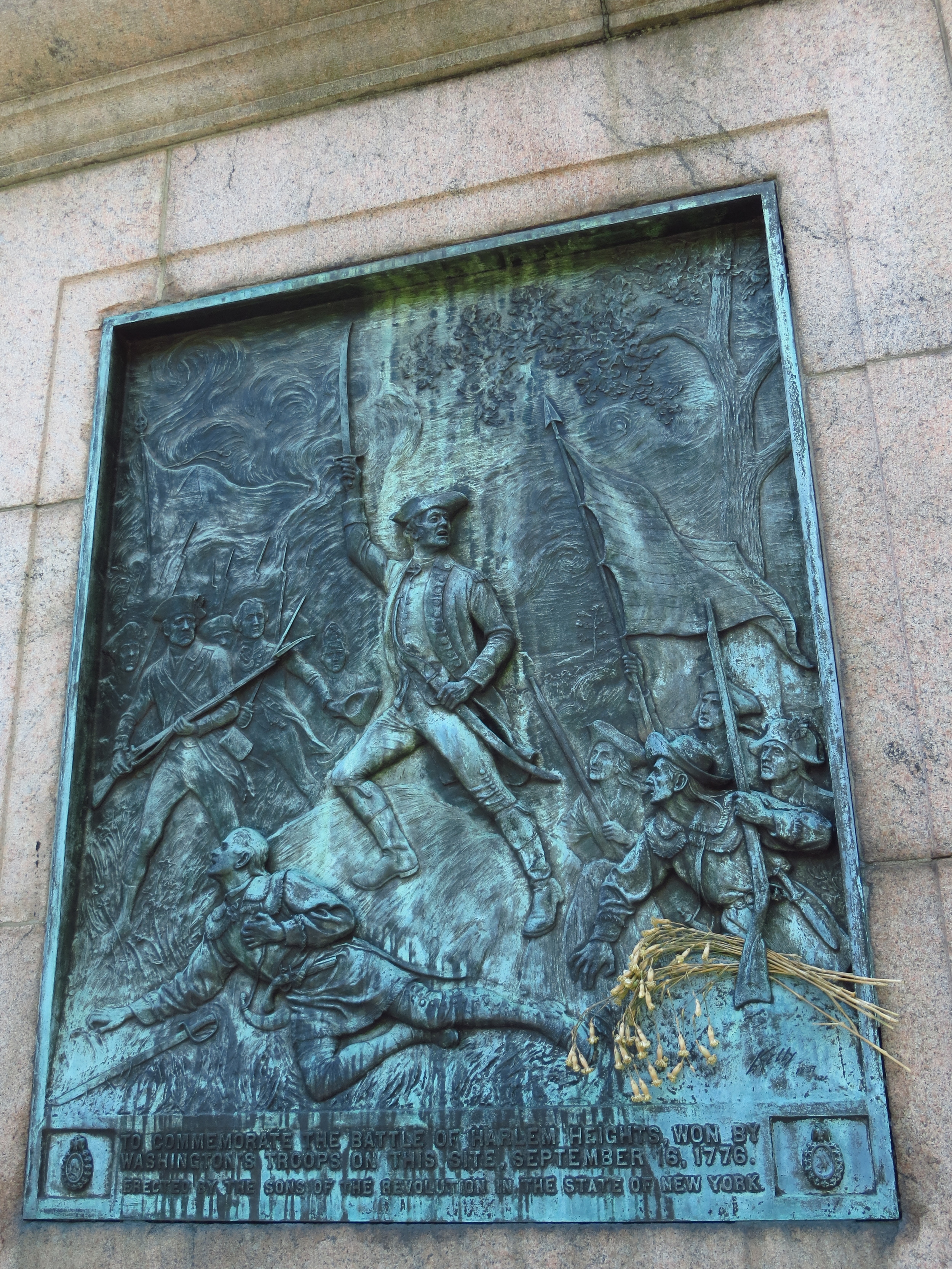
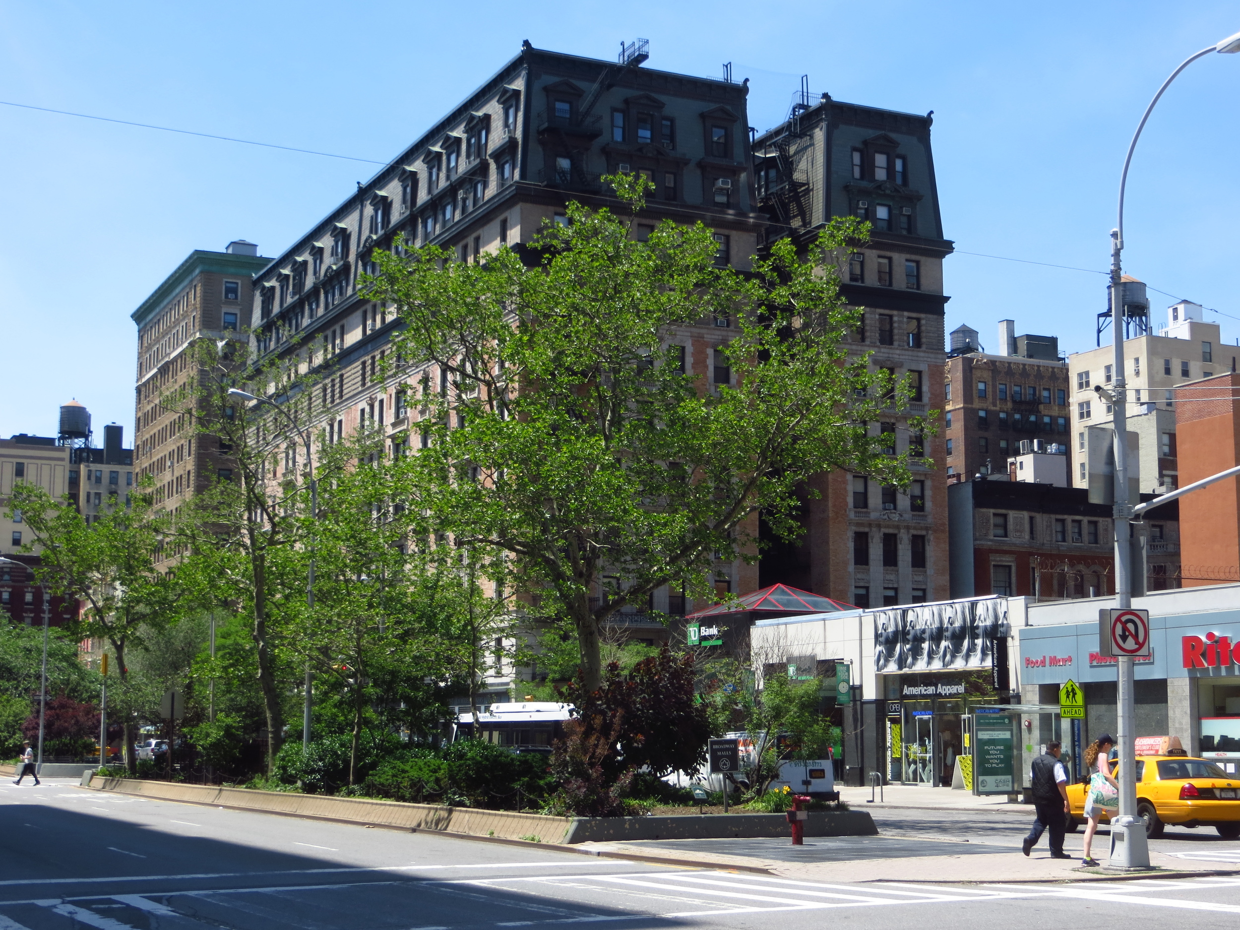
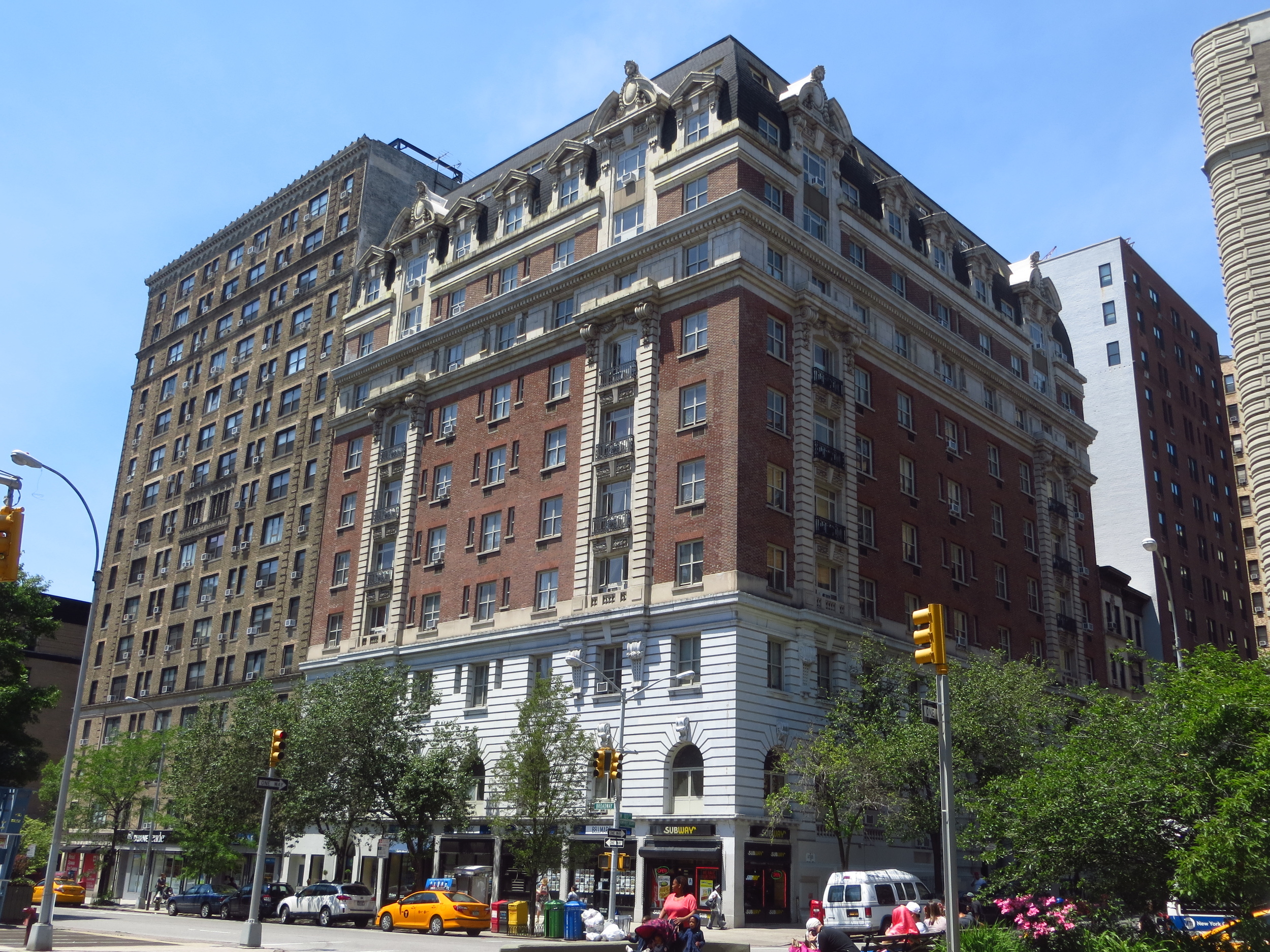
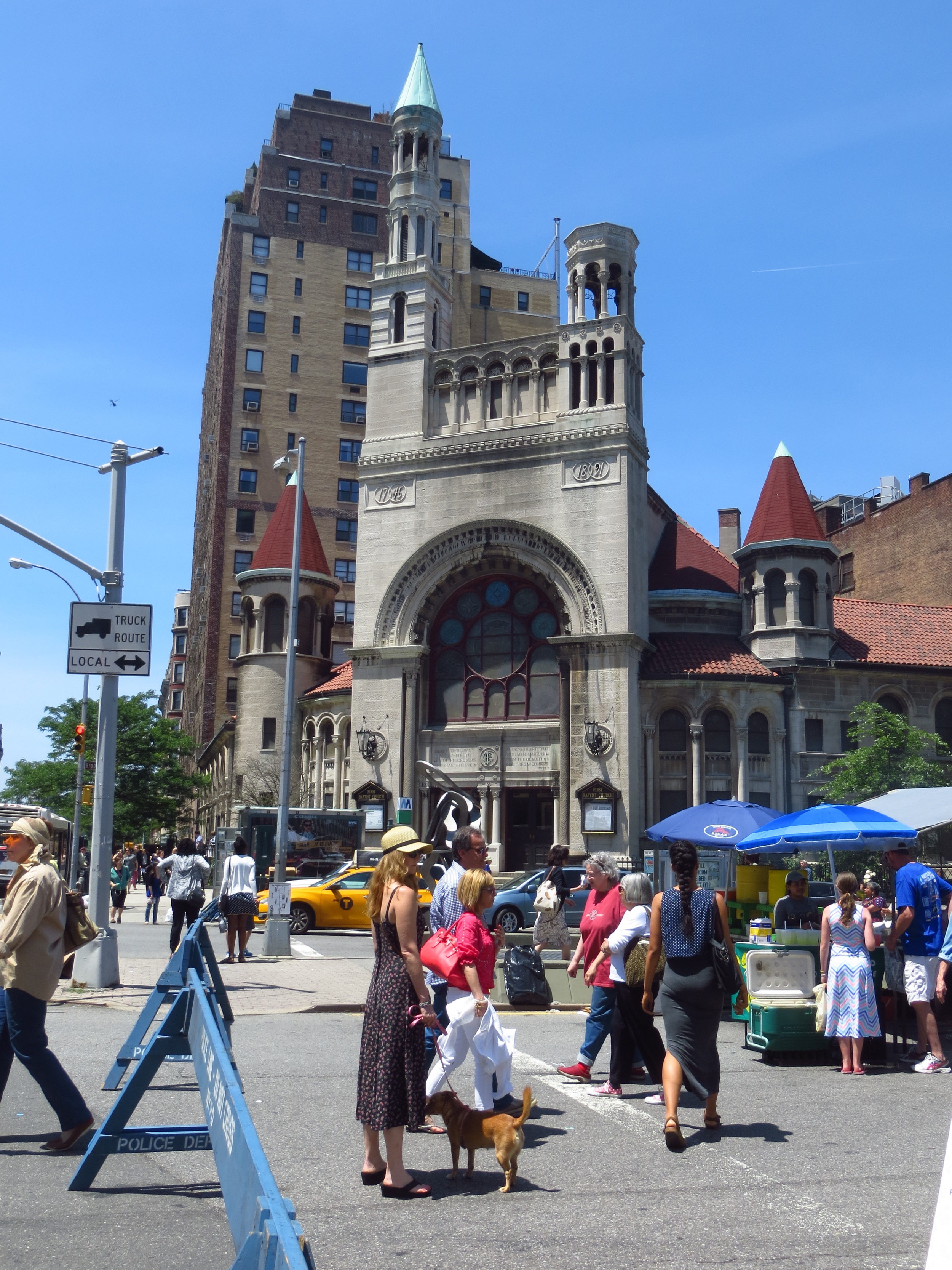
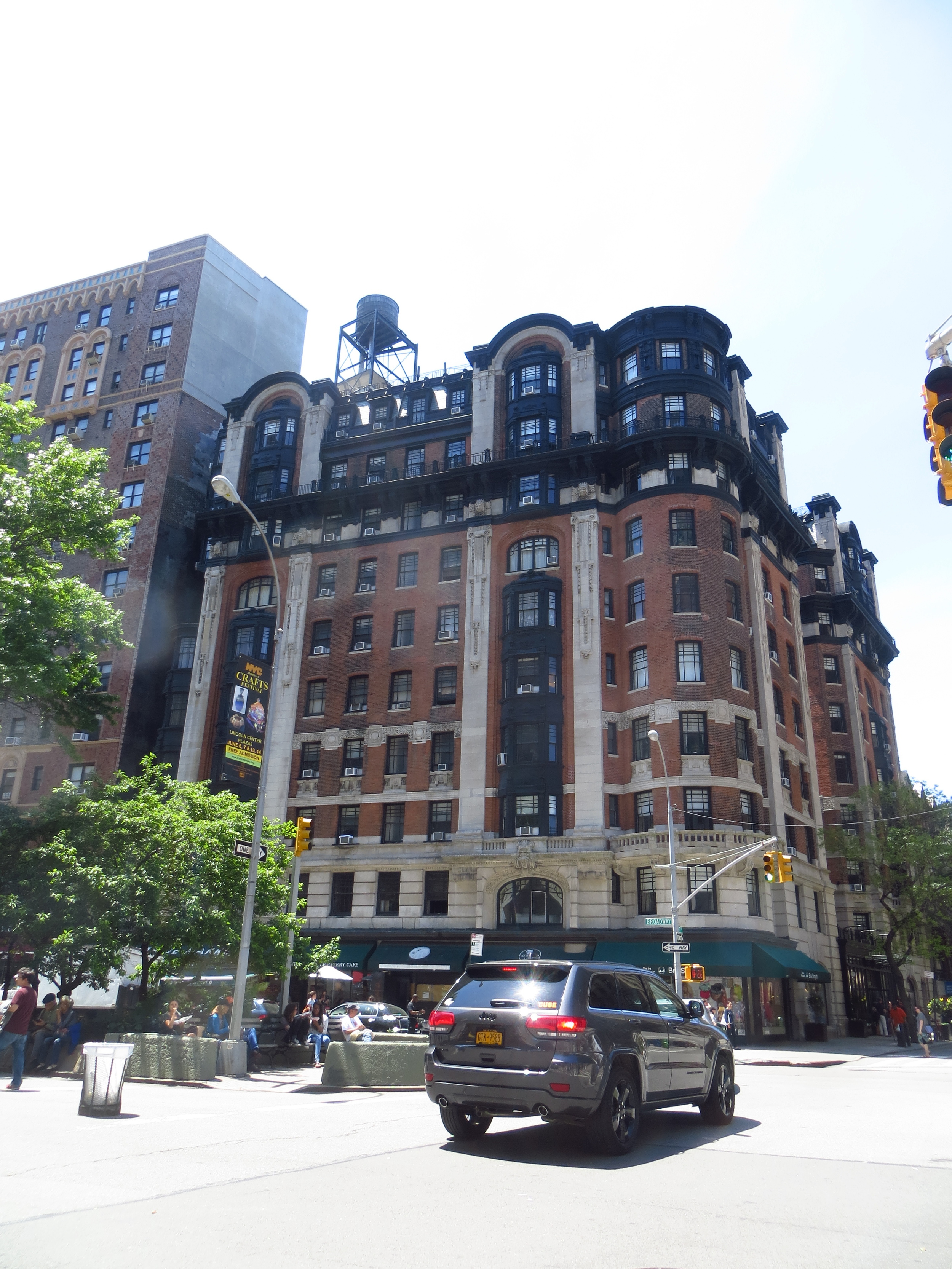
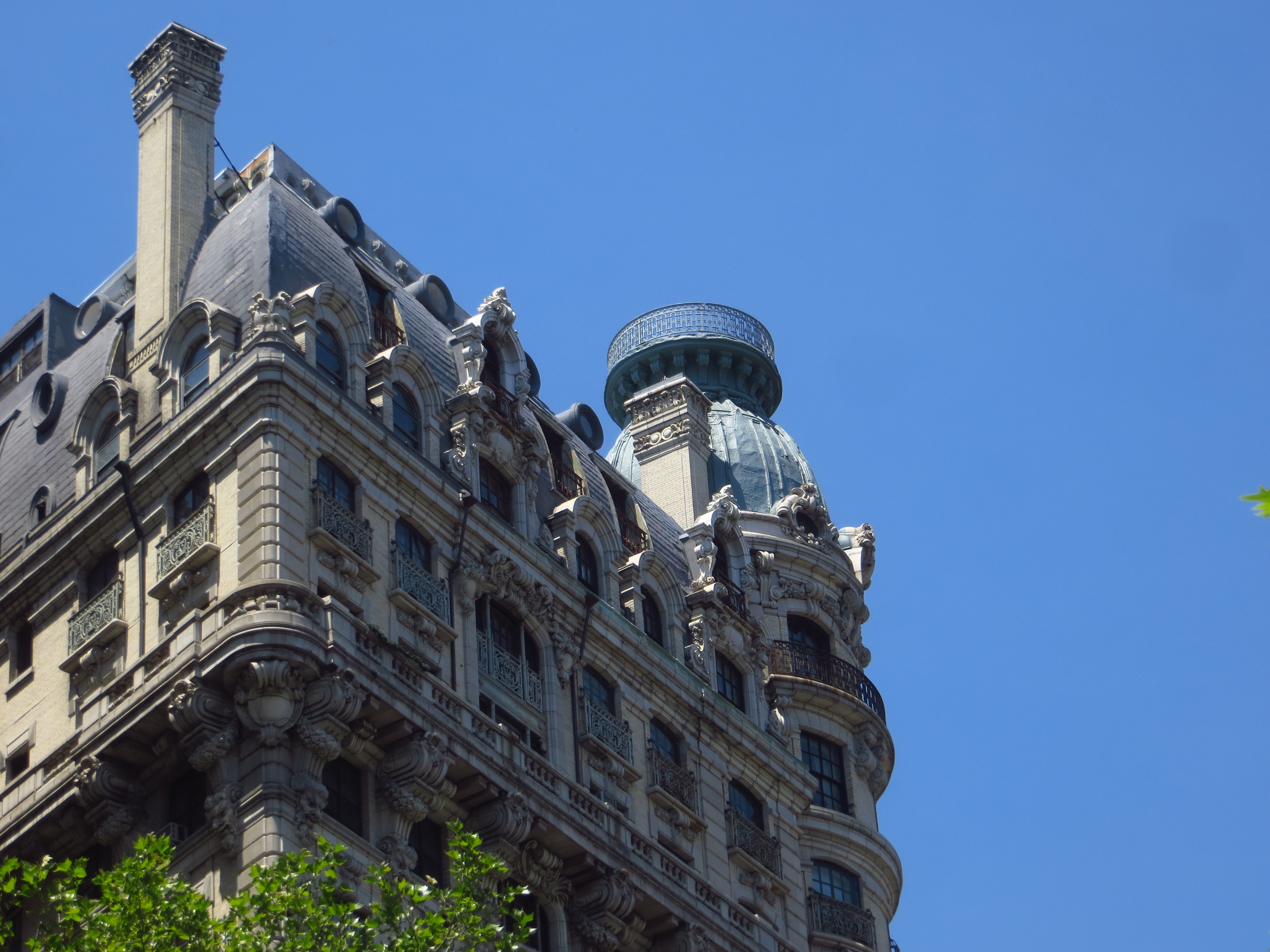
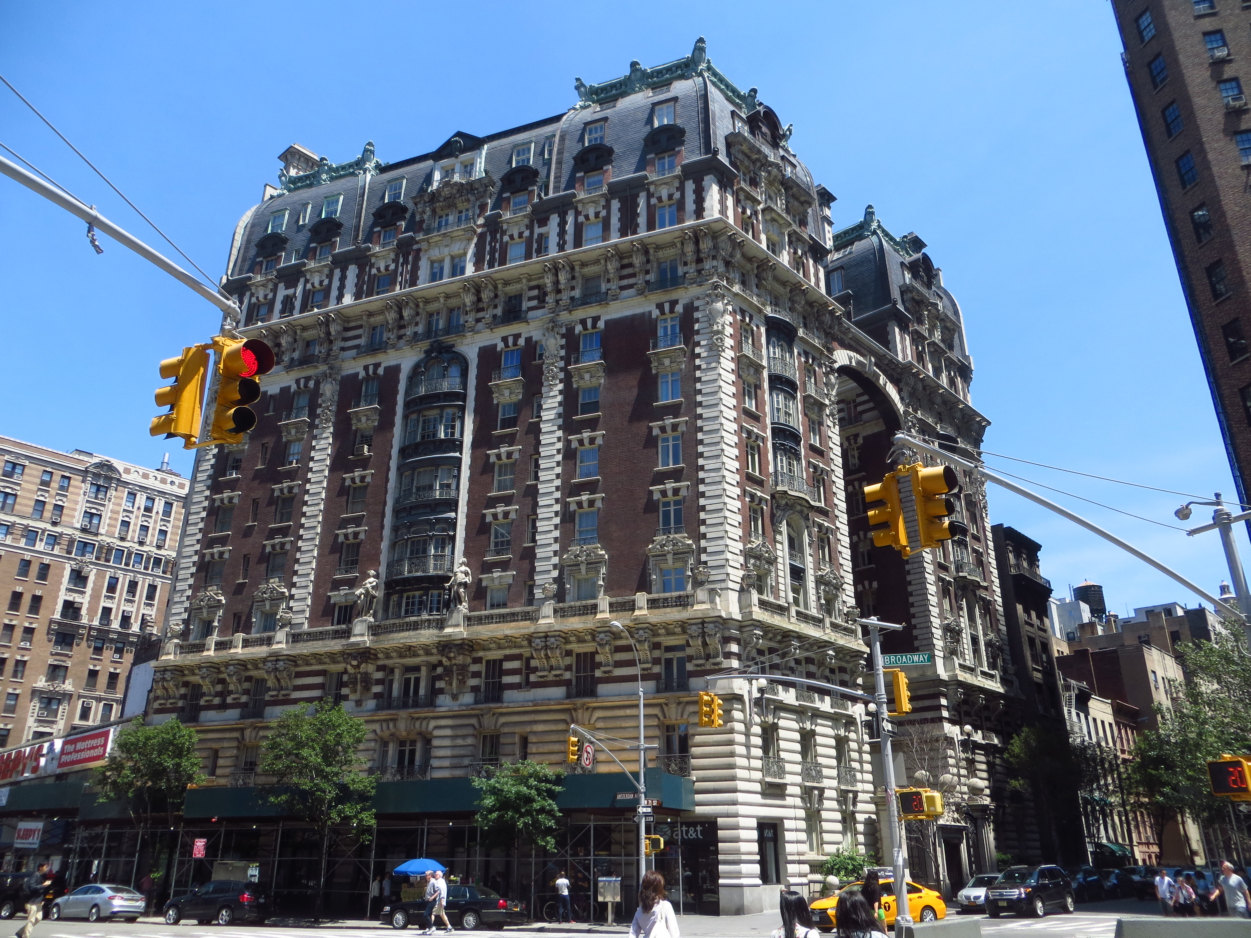
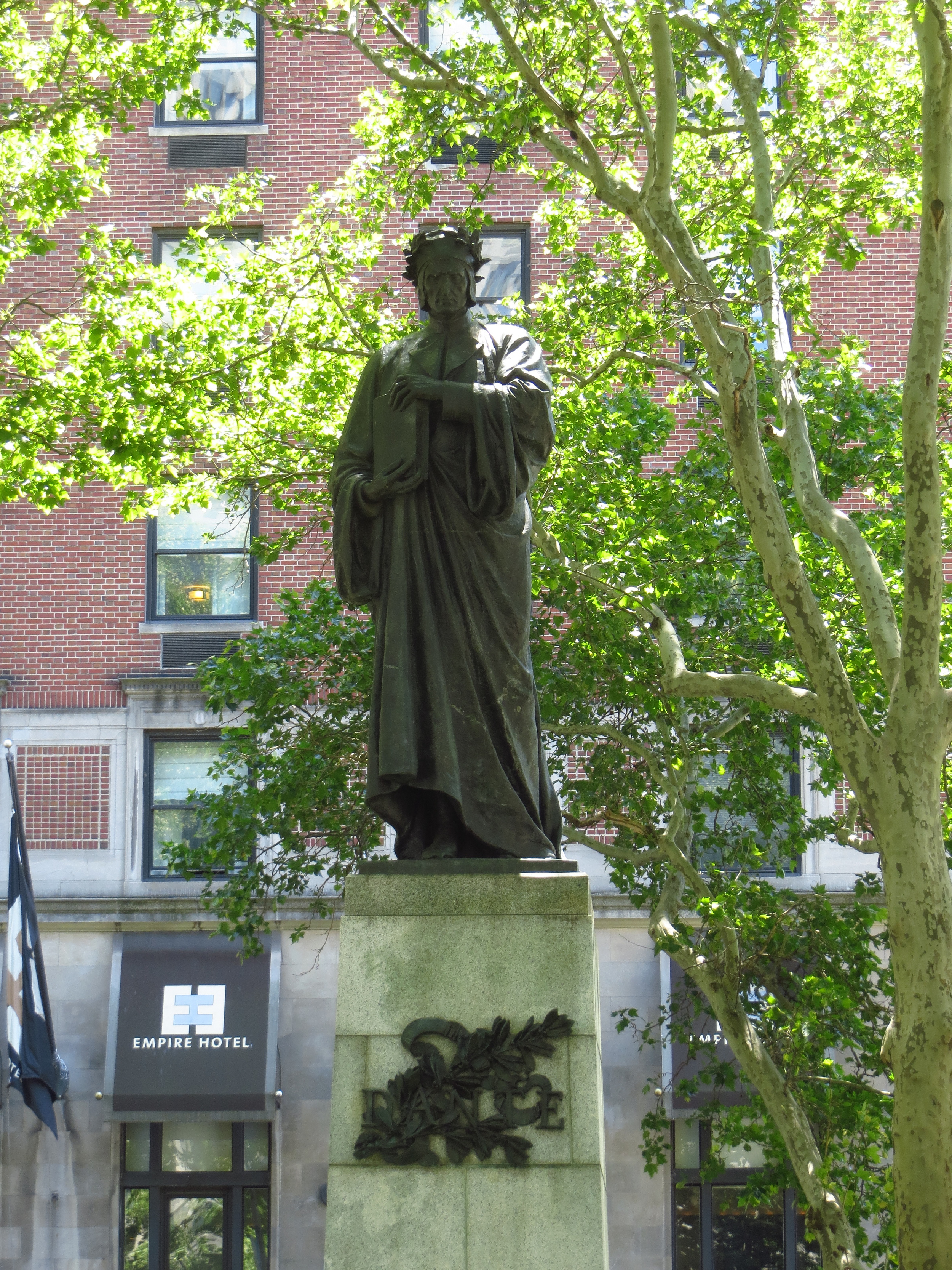
Beyond Midtown, Broadway cuts through the Upper West Side, creating additional, smaller squares where it crosses Columbus Ave., Amsterdam Ave., and West End Ave., and then continues up into Morningside Heights and past Columbia University. From there it continues on through the high ground of the western edge of northern Manhattan (the neighborhoods of Hamilton Heights and Washington Heights), before dropping down into Inwood and passing out over Spuyten Duyvil Creek (an the waterway that connects the Hudon River and the Harlem River) on the Broadway Bridge into the Bronx.
Technically, the neighborhood of Marble Hill, which lies just across Spuyten Duyvil, is a part of the borough of Manhattan (as are Ward's Island, Roosevelt Island, and Governor's Island), but my goal was to walk the island, not the borough, so those sidewalks will remain untraveled (by me).
That's all folks!

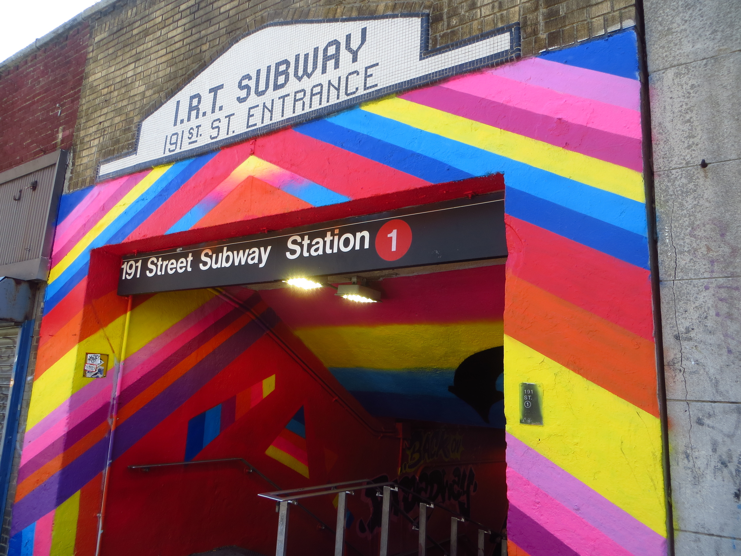
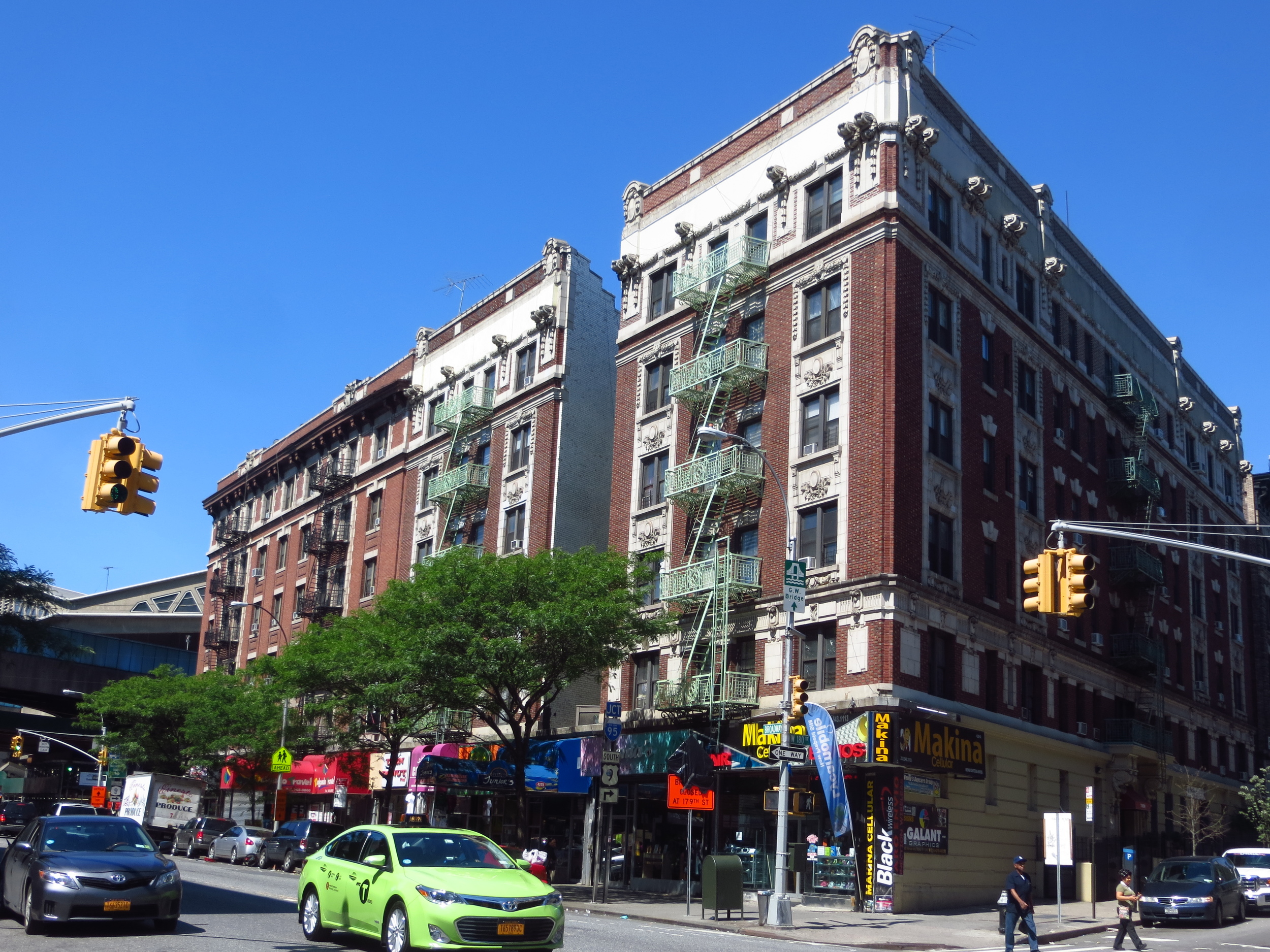
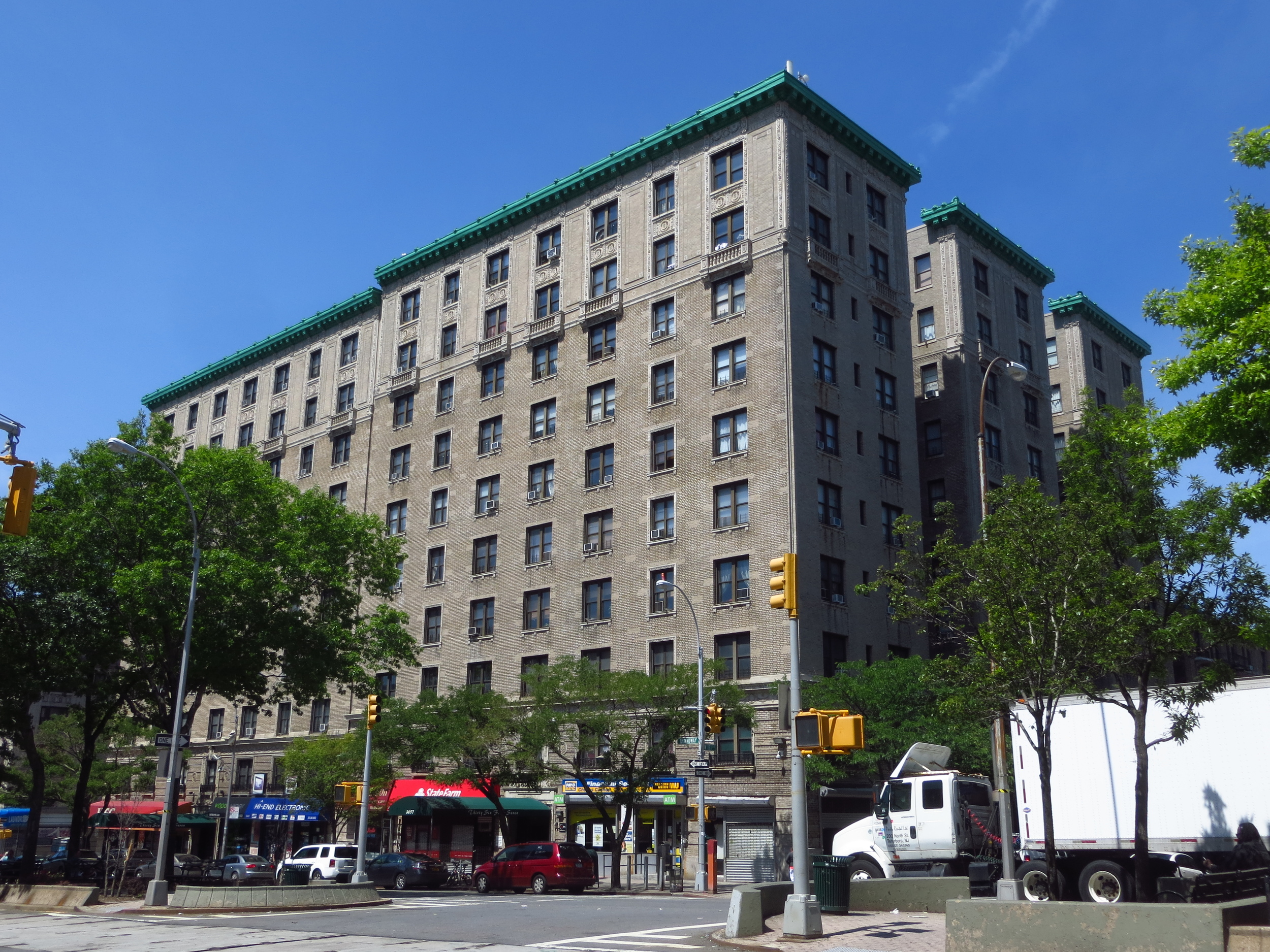
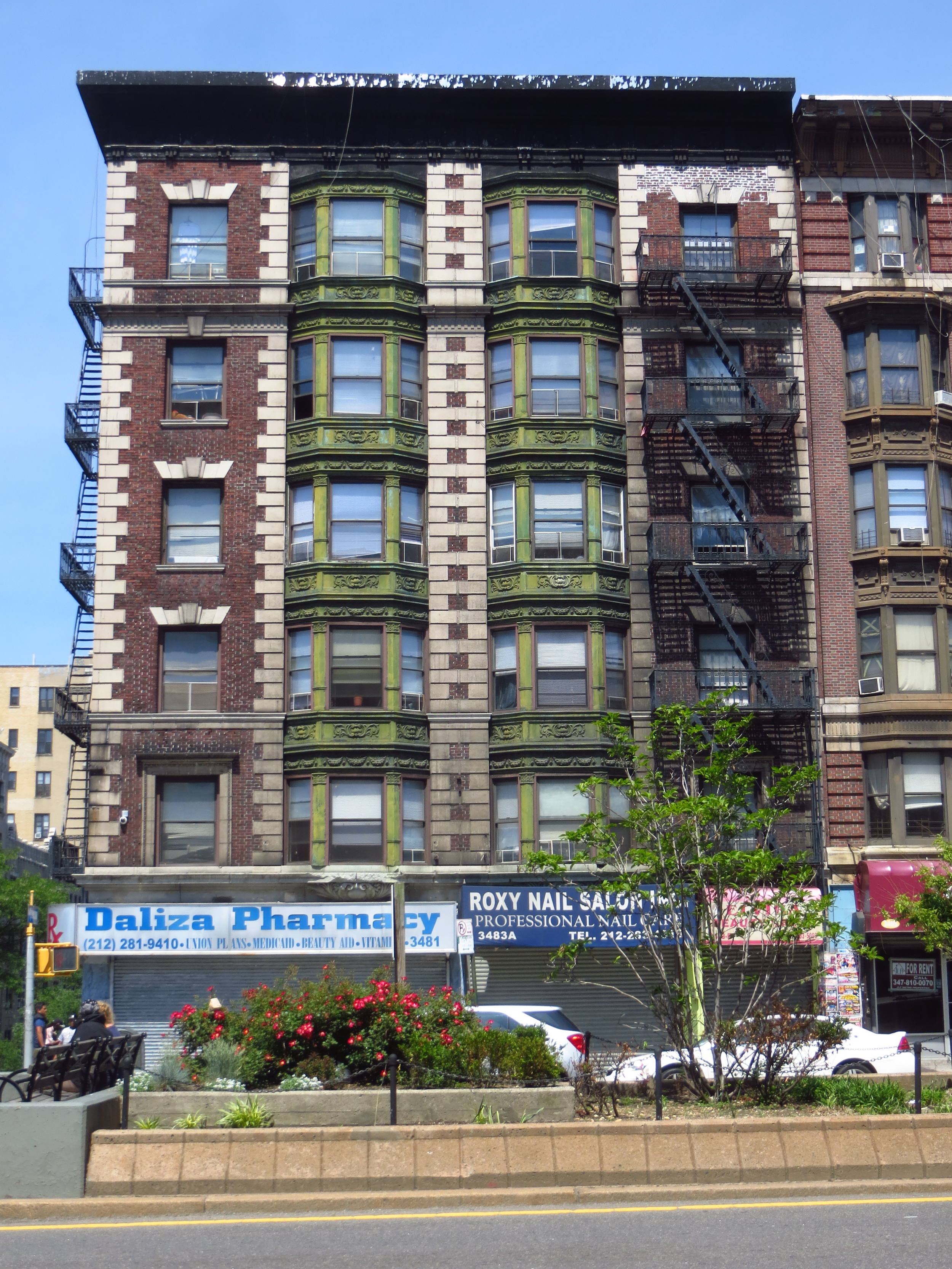
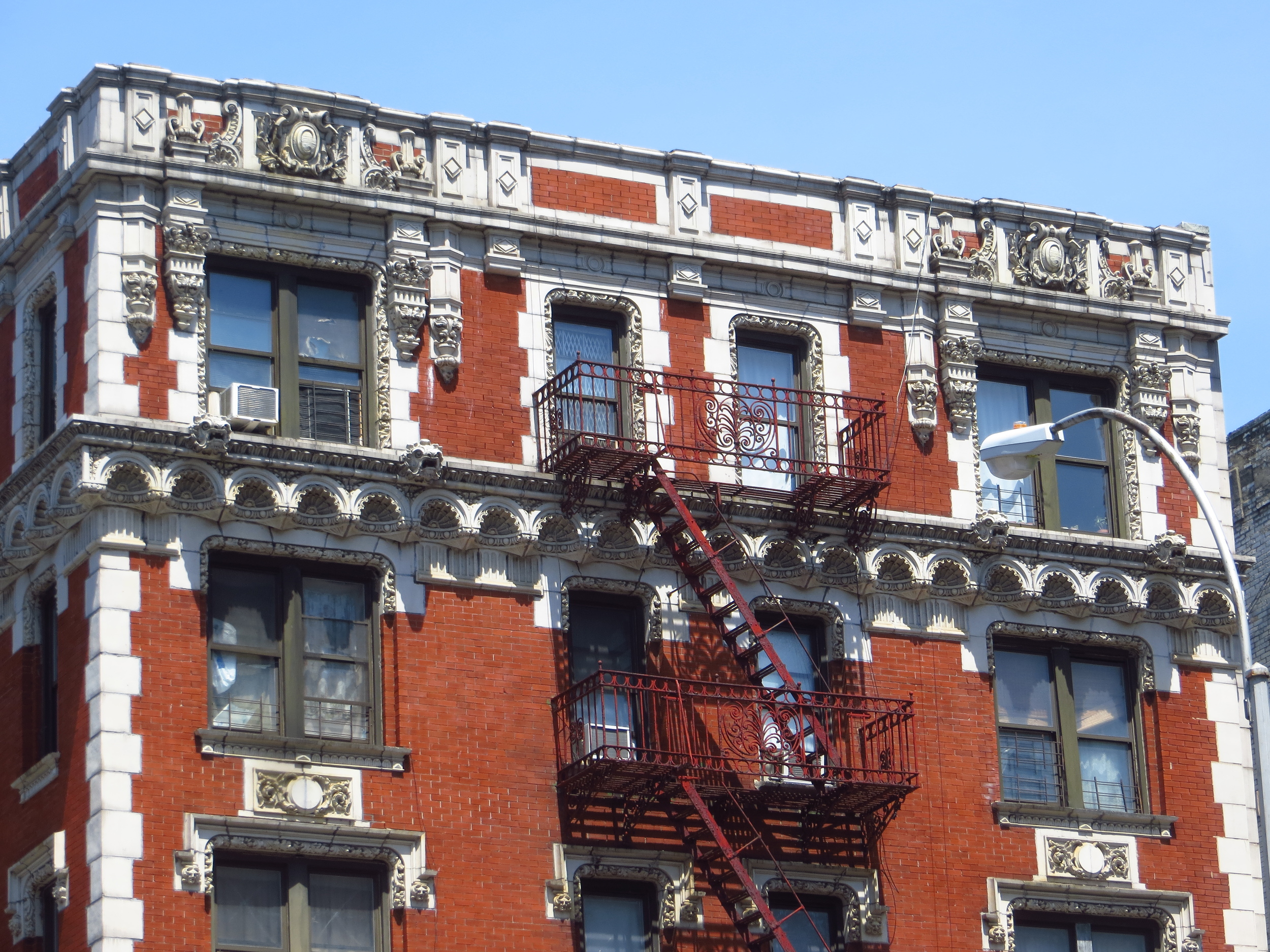
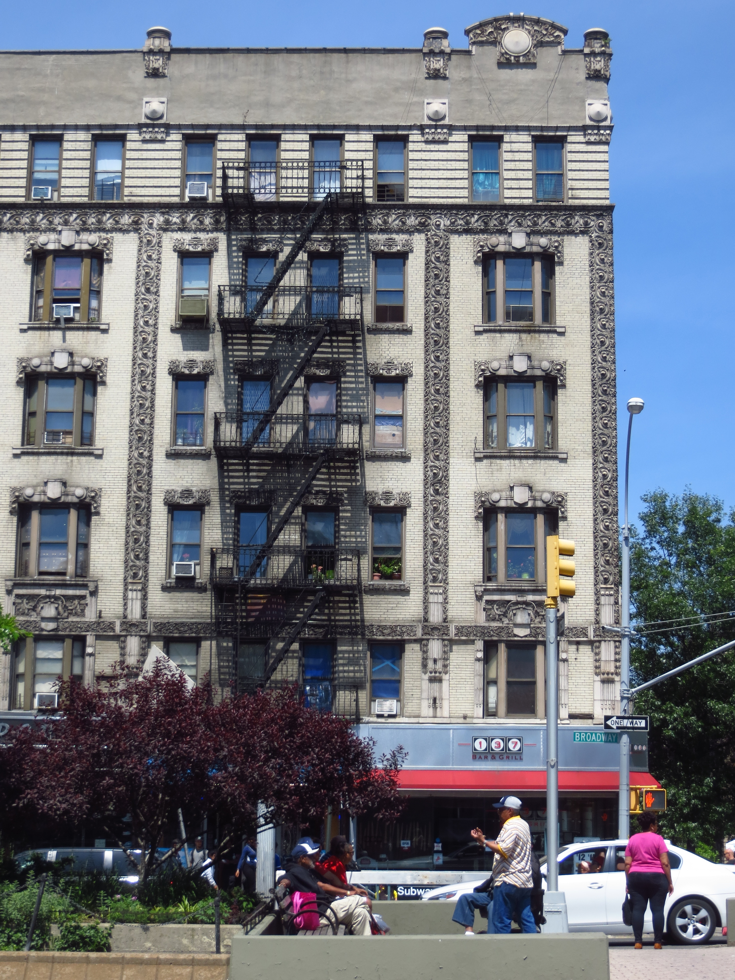
Epilogue: I grew up in Oregon on a small blueberry farm. One summer when I was in fifth or sixth grade, my parents gave me the job of weeding out all the blackberry vines that grew between the bushes. Because I was young and not especially motivated, this ended up taking the better part of two months; and by the time I finished, the blackberries had already begun to grow back in the first rows. There's probably a great metaphor there.
Thanks for reading.
