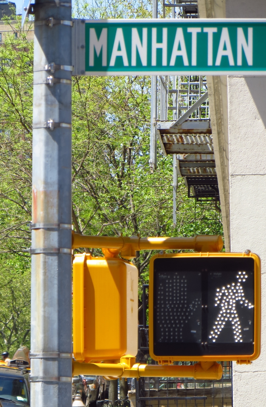
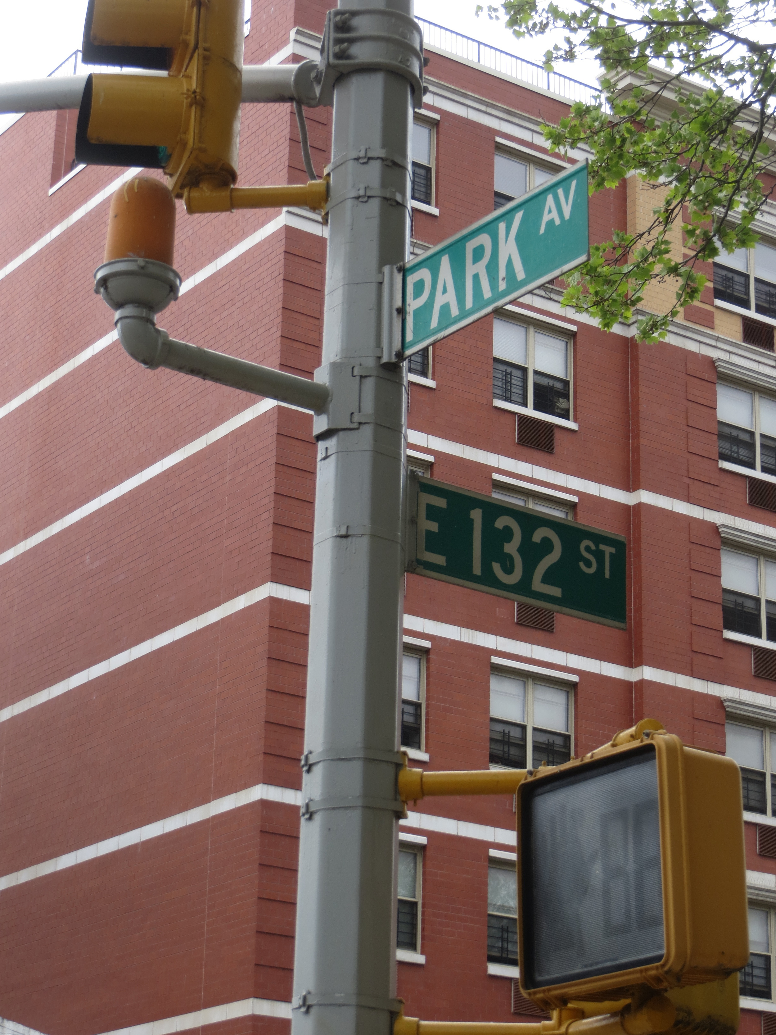
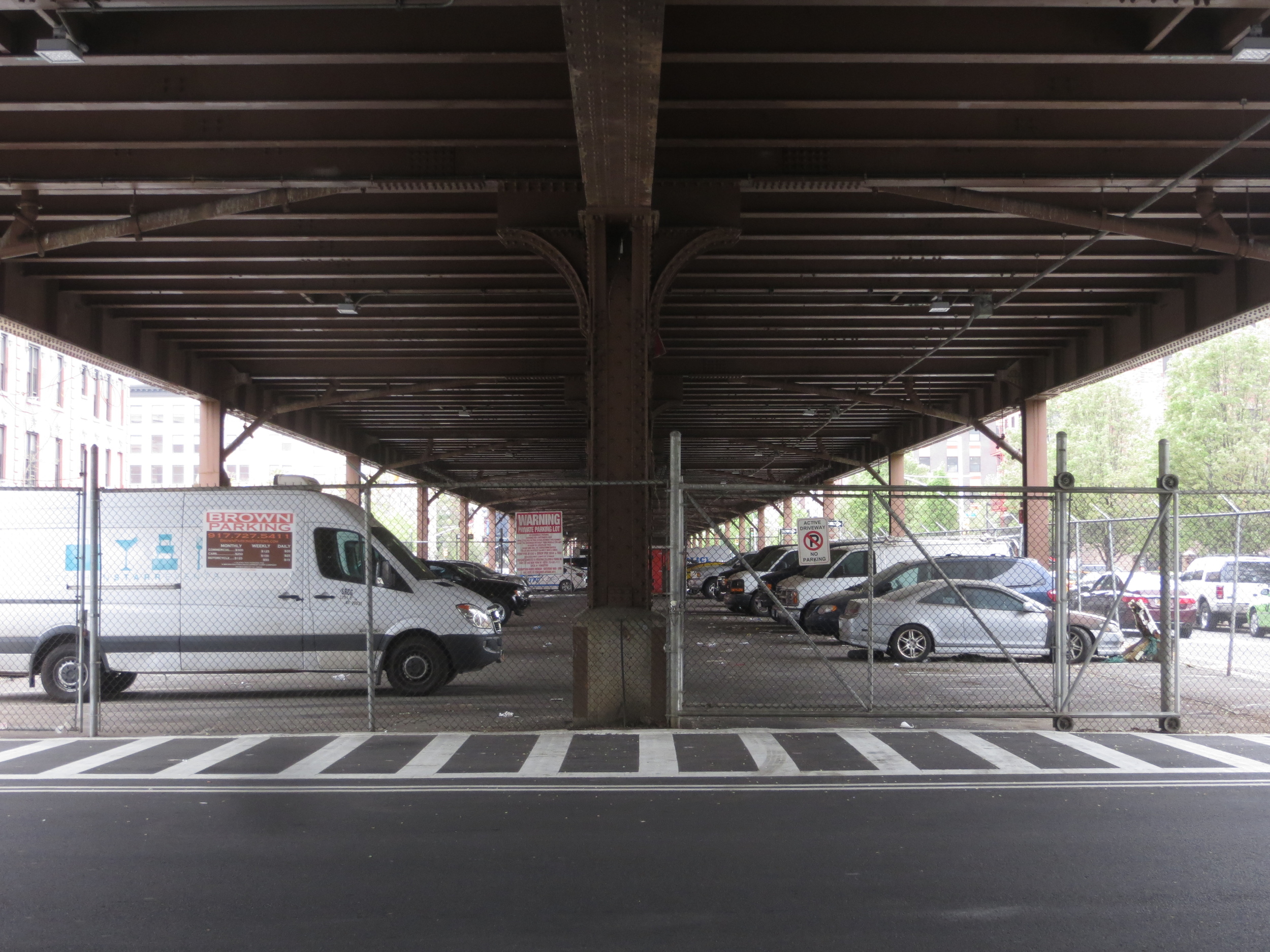
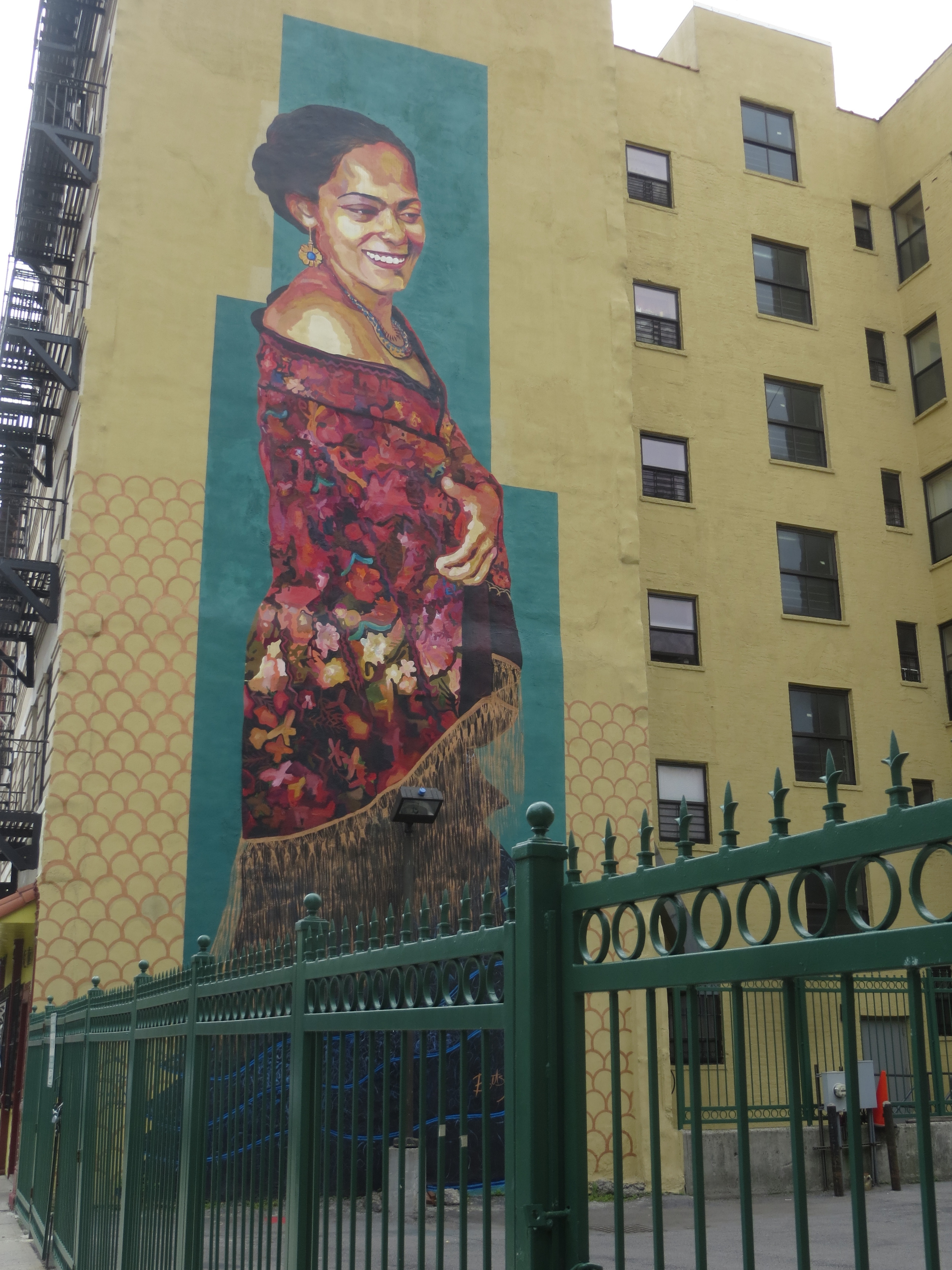
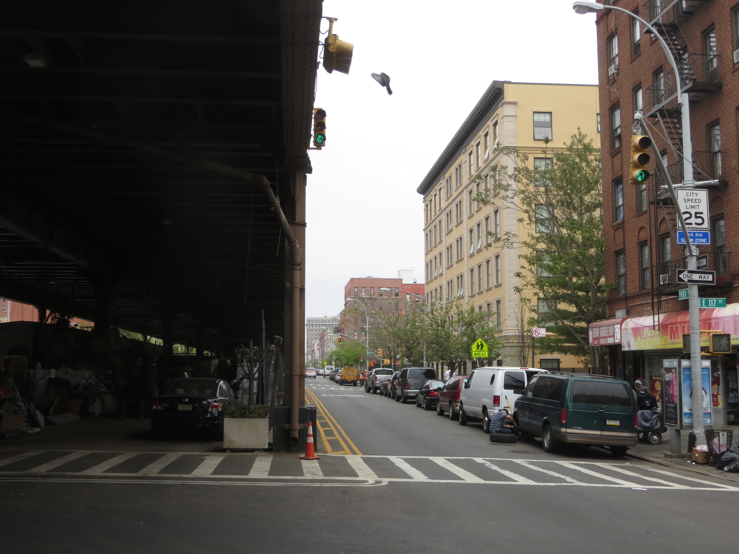
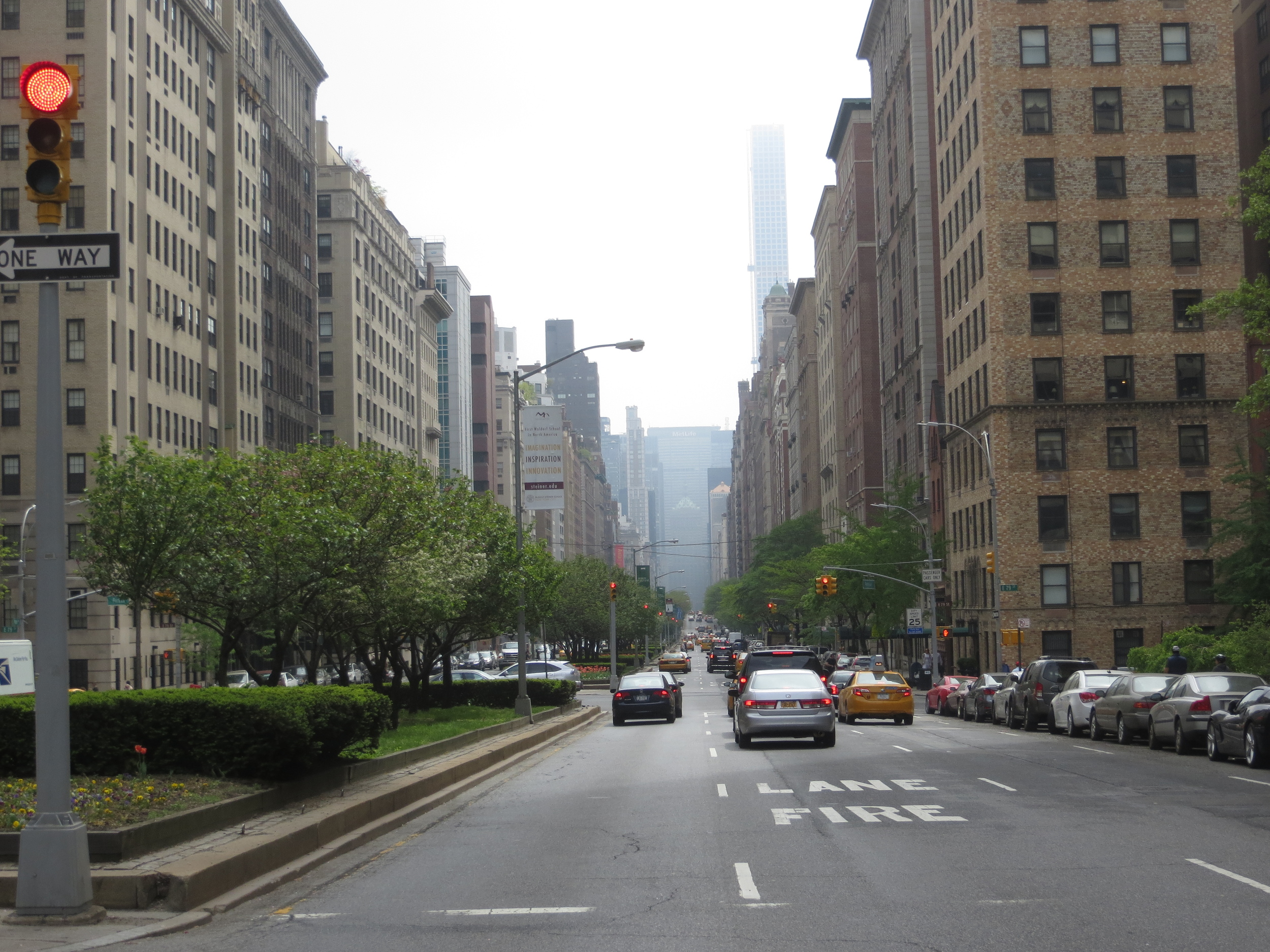
Park Avenue
I walked Park Avenue today, about 9.5 miles.

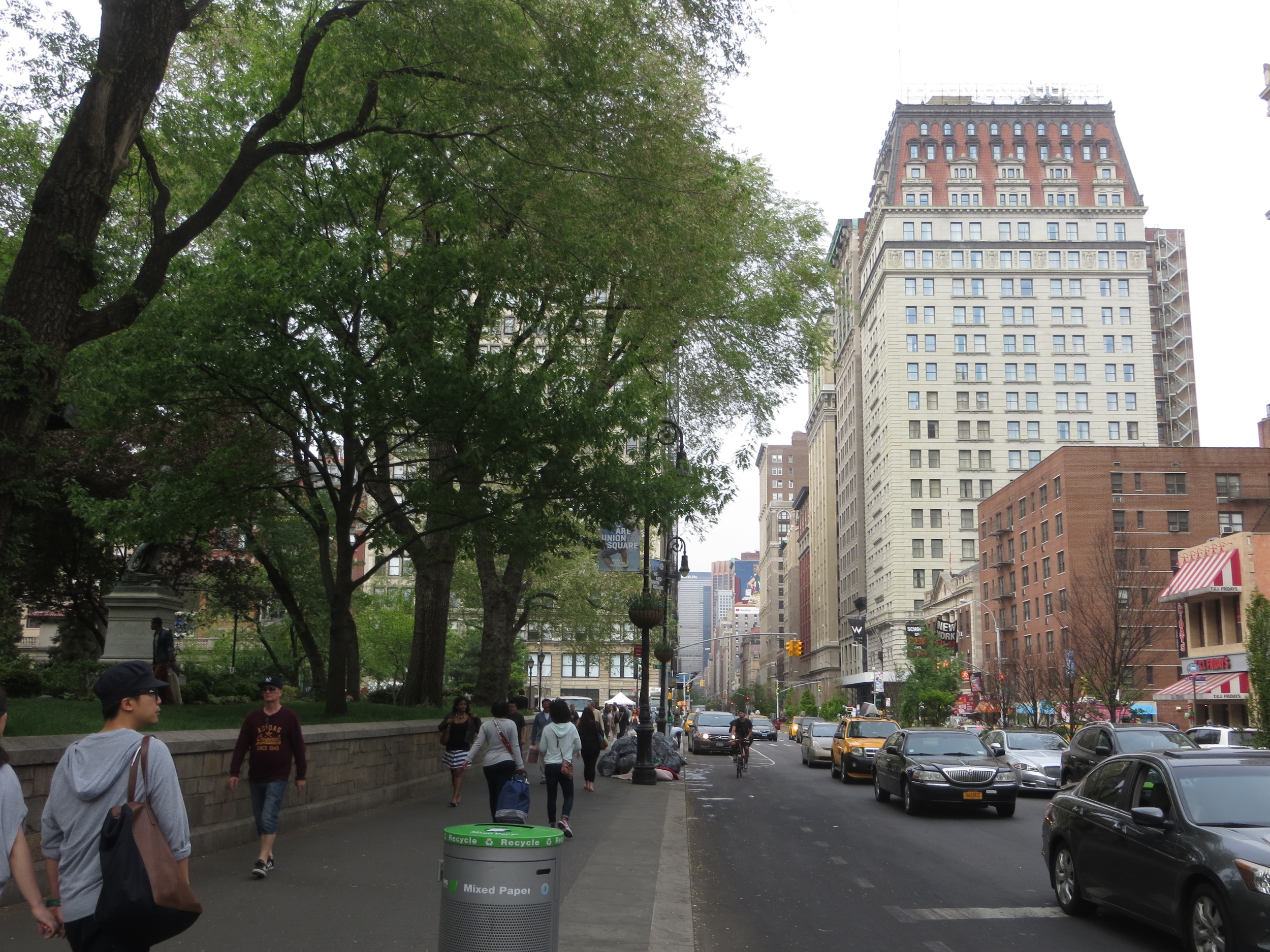
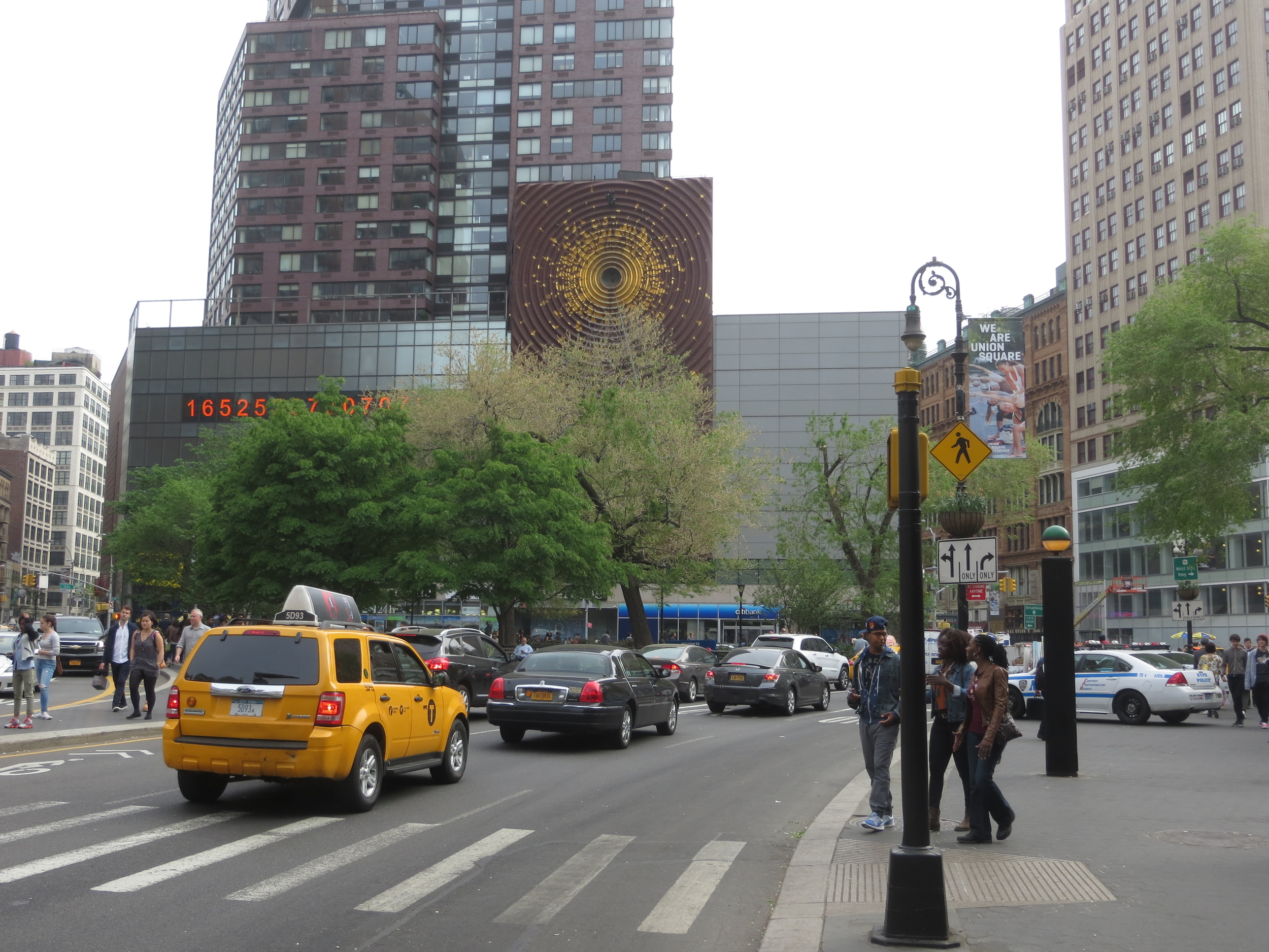
Today's walk
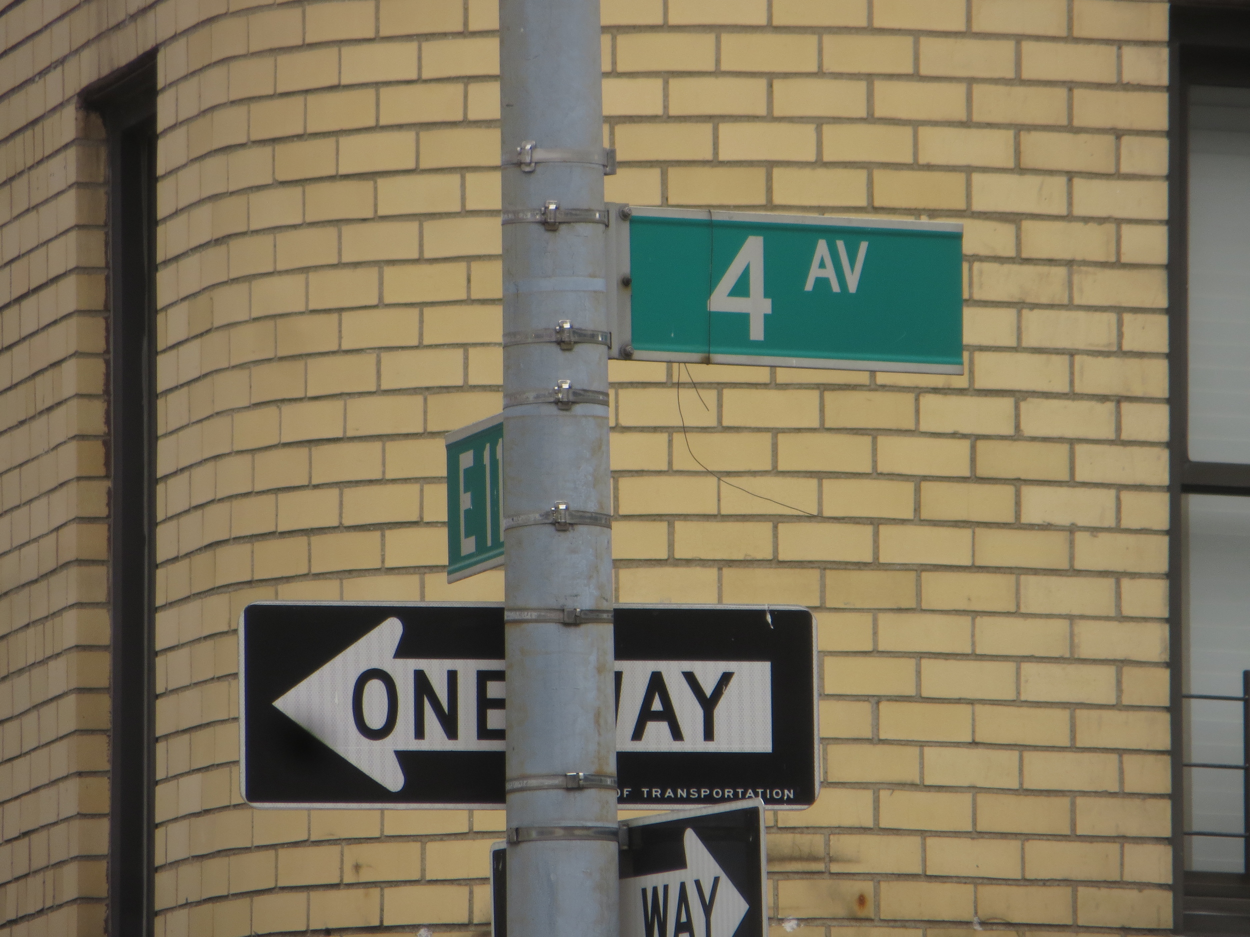
Park Avenue runs through the east side of Manhattan from 138th St. in Harlem down to Union Square. South of Union Square, the street becomes 4th Avenue (briefly), then Bowery, St. James Pl., Pearl St., and finally Water St. when it ends at Battery Park.
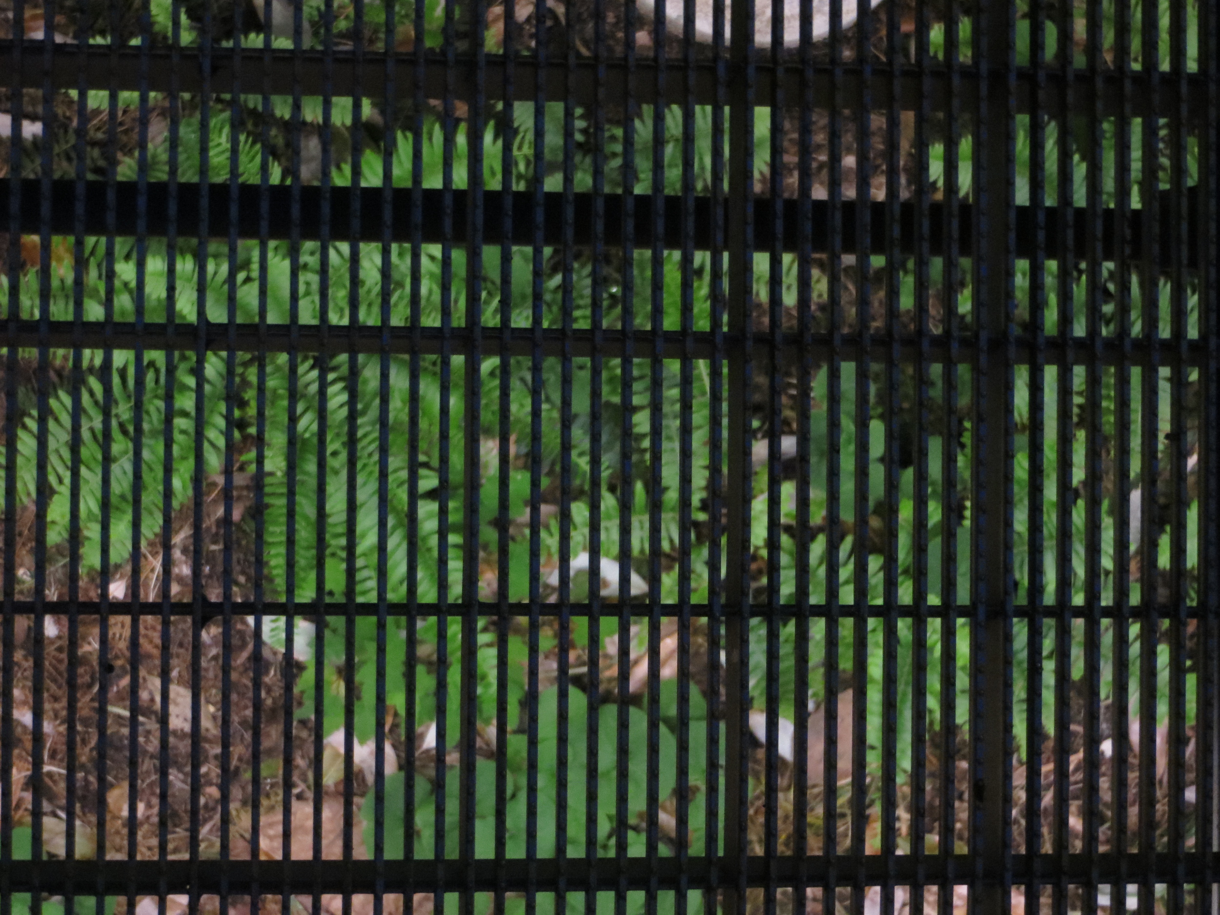
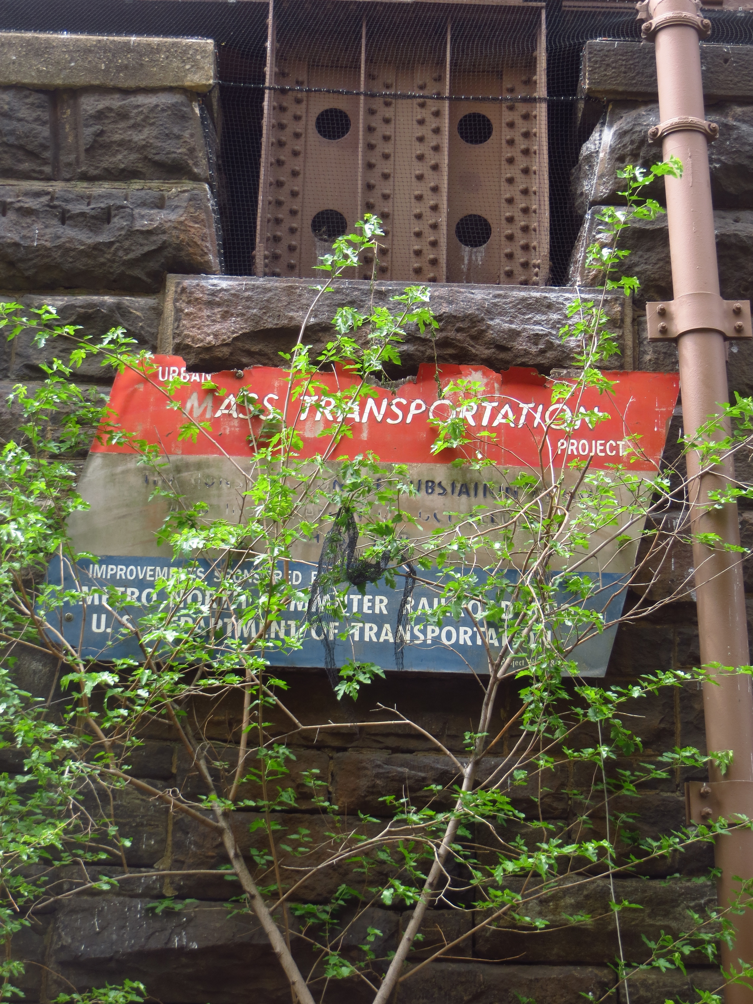
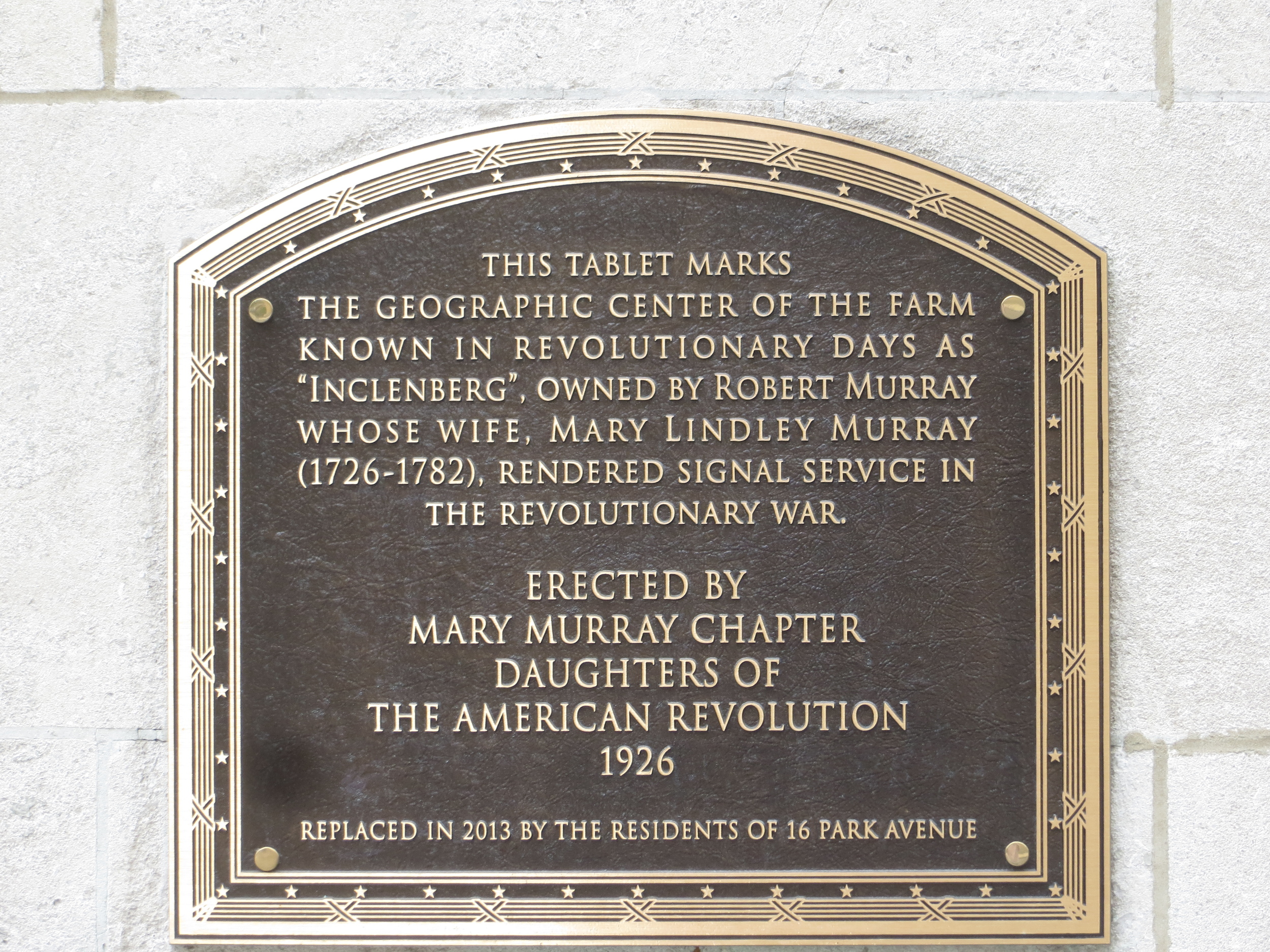
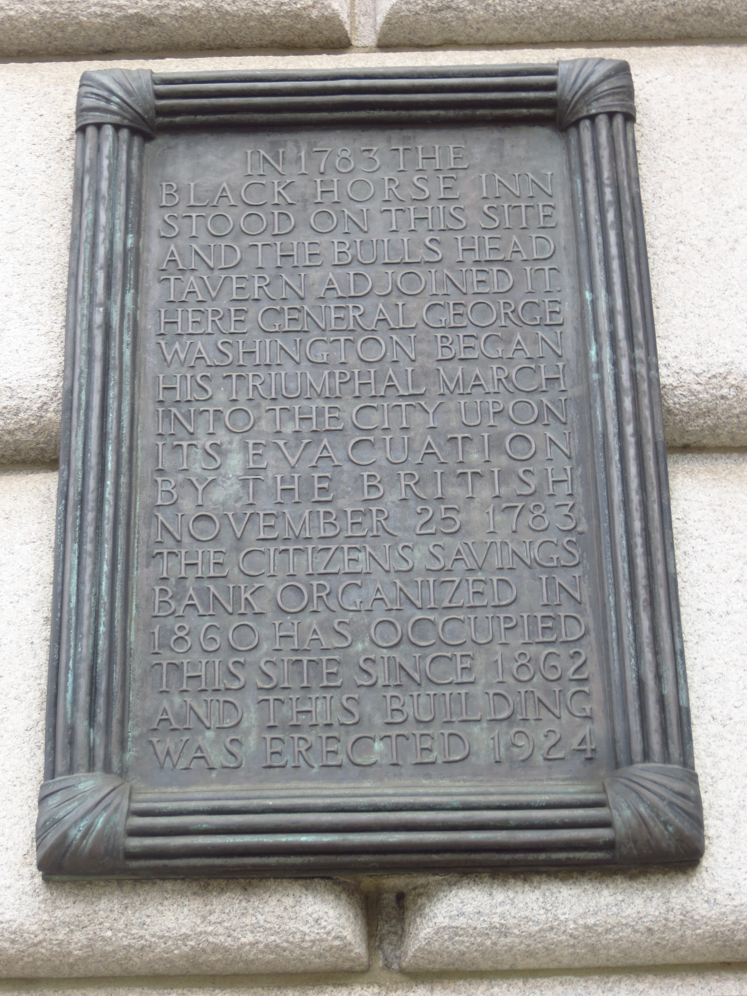
The entire length of Park Avenue above Bowery was originally known as 4th Avenue (if you look at a map, you'll see that it occupies the space that would have logically been named 4th). The New York and Harlem Railroad, the passenger and freight rail line that connected New York to the once separate villages of Yorkville and Harlem, was laid down along 4th Avenue in the 1830's. To maintain a level grade, a cut was dug through Murray Hill, over which a grate was laid and grass planted - this small park would later give the avenue its name.
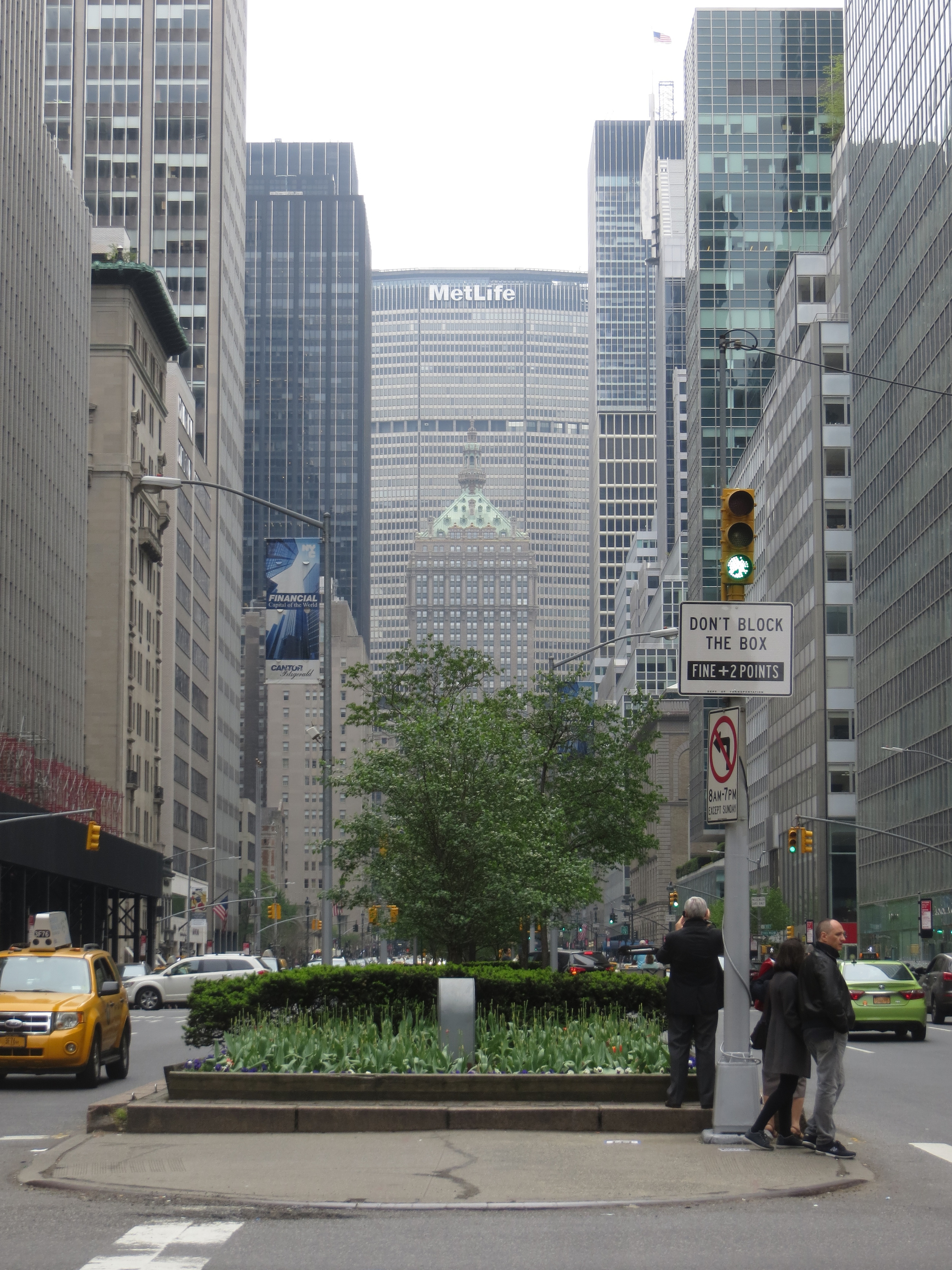
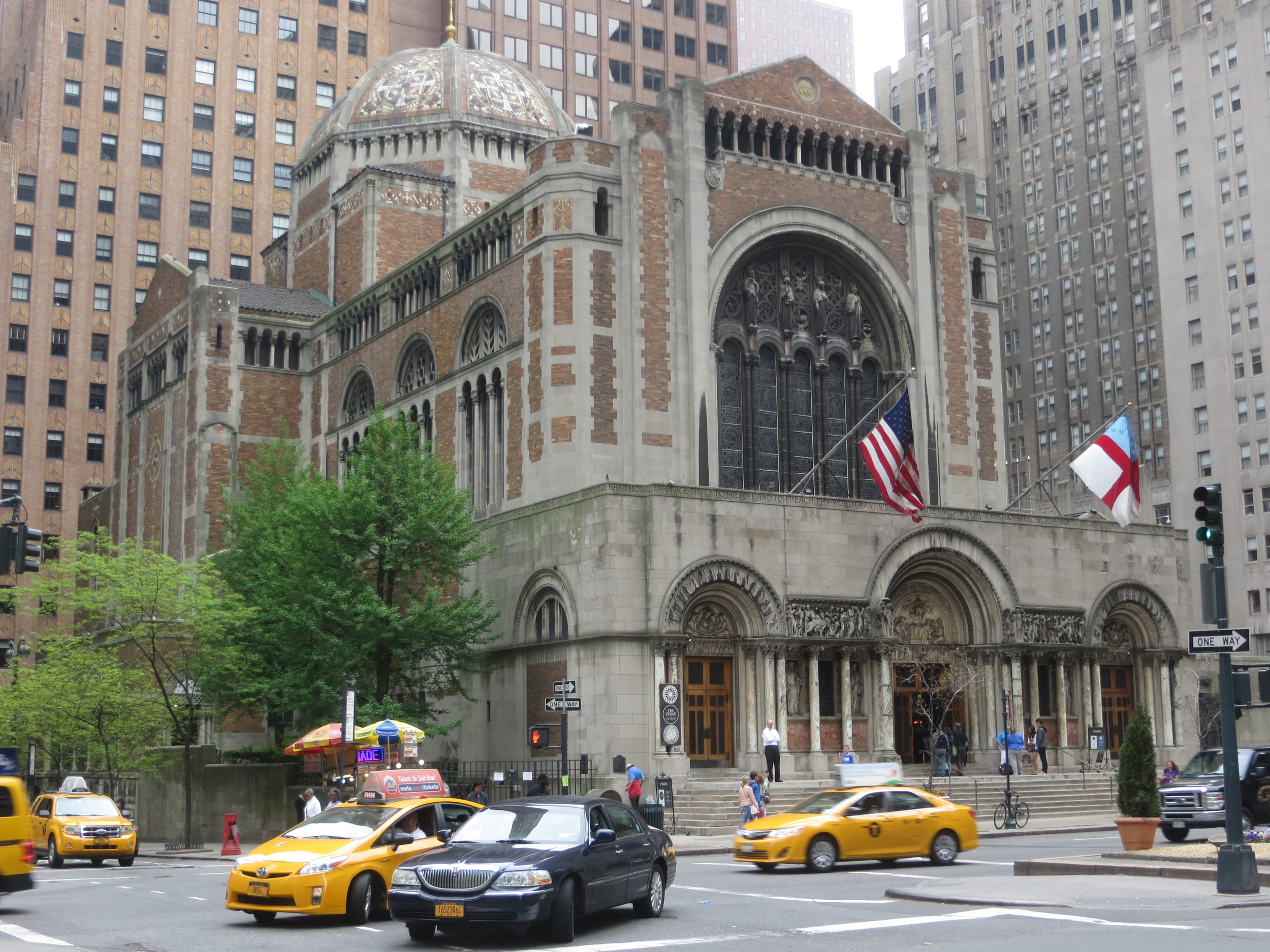
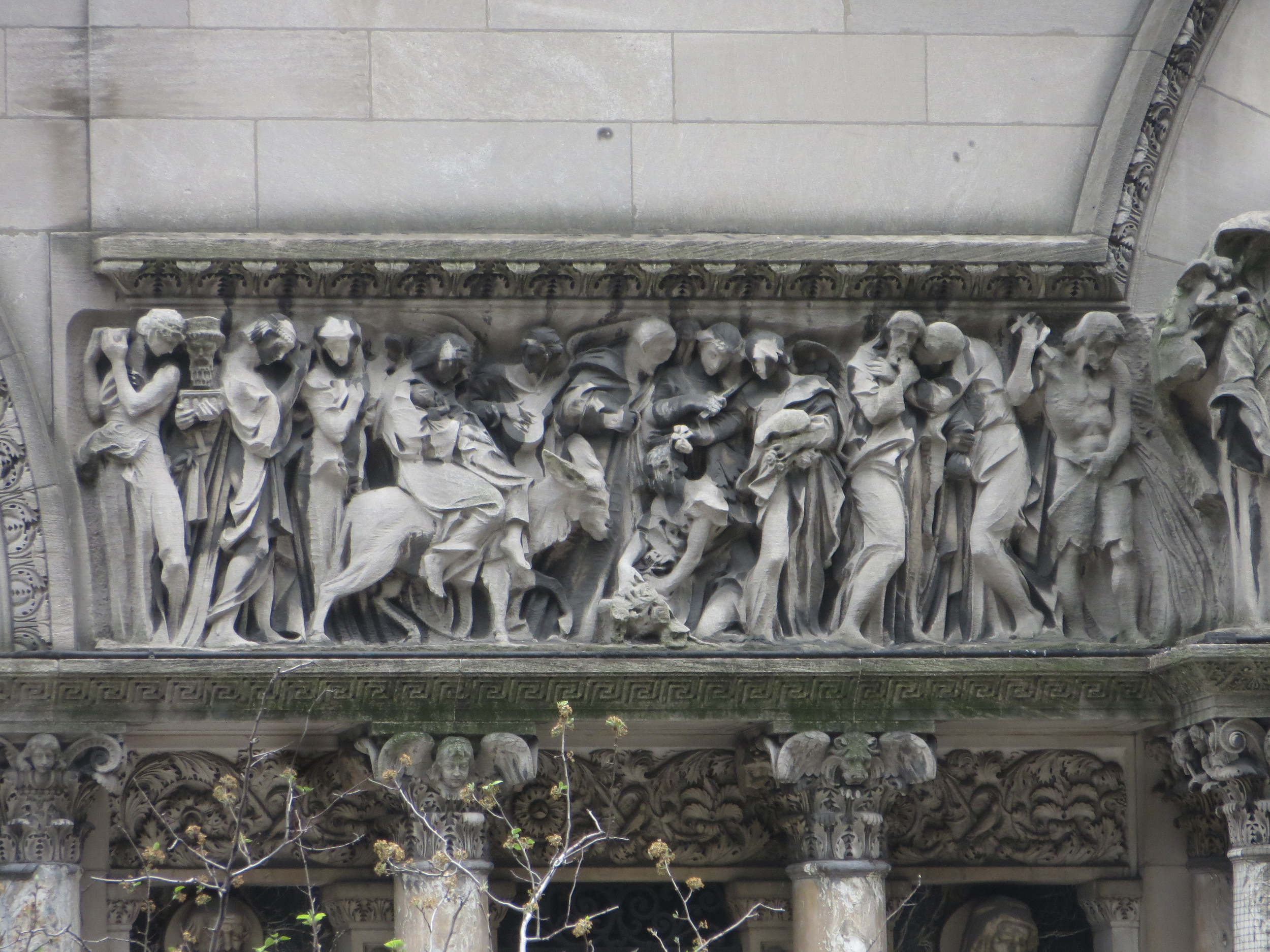
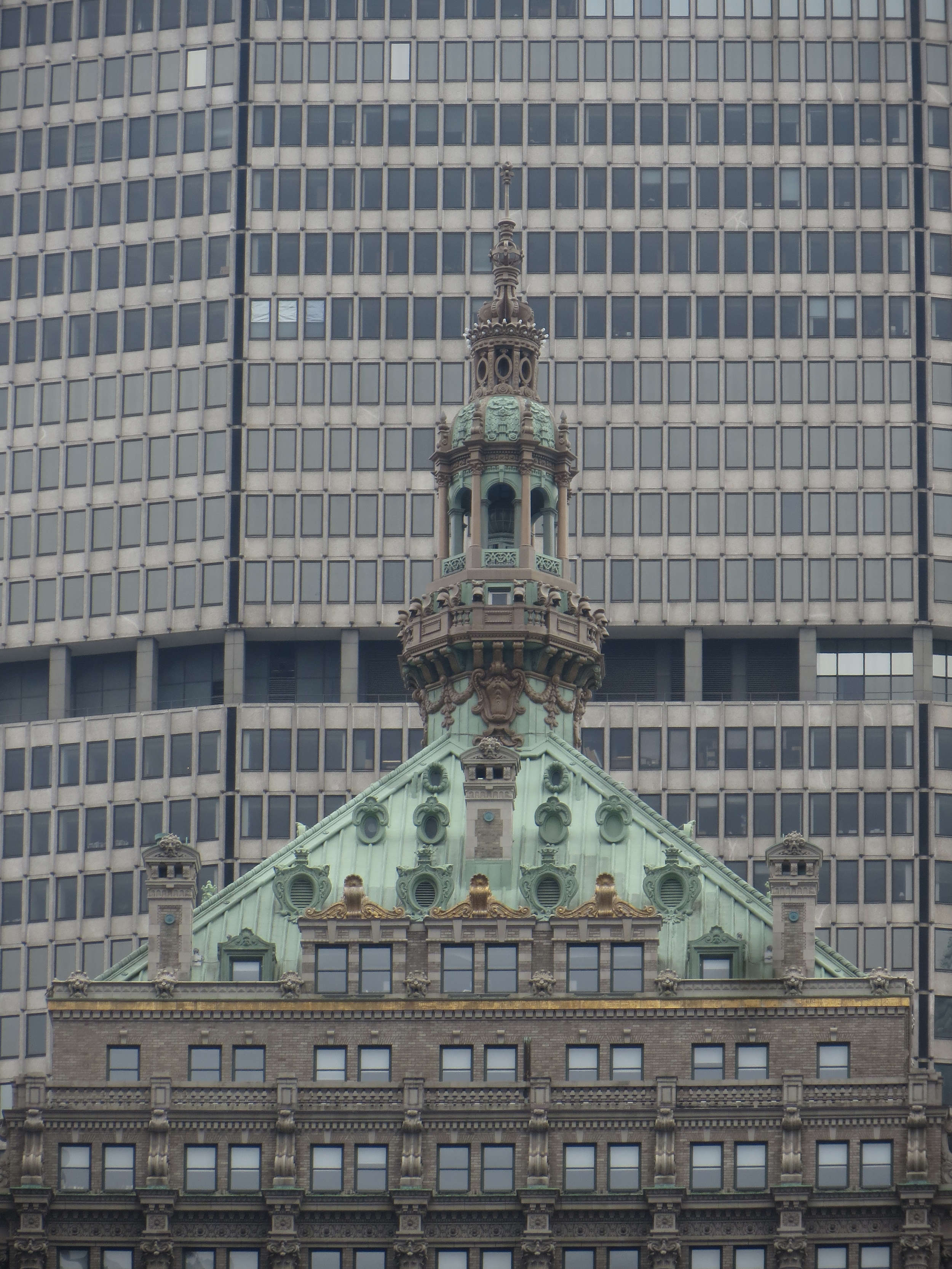
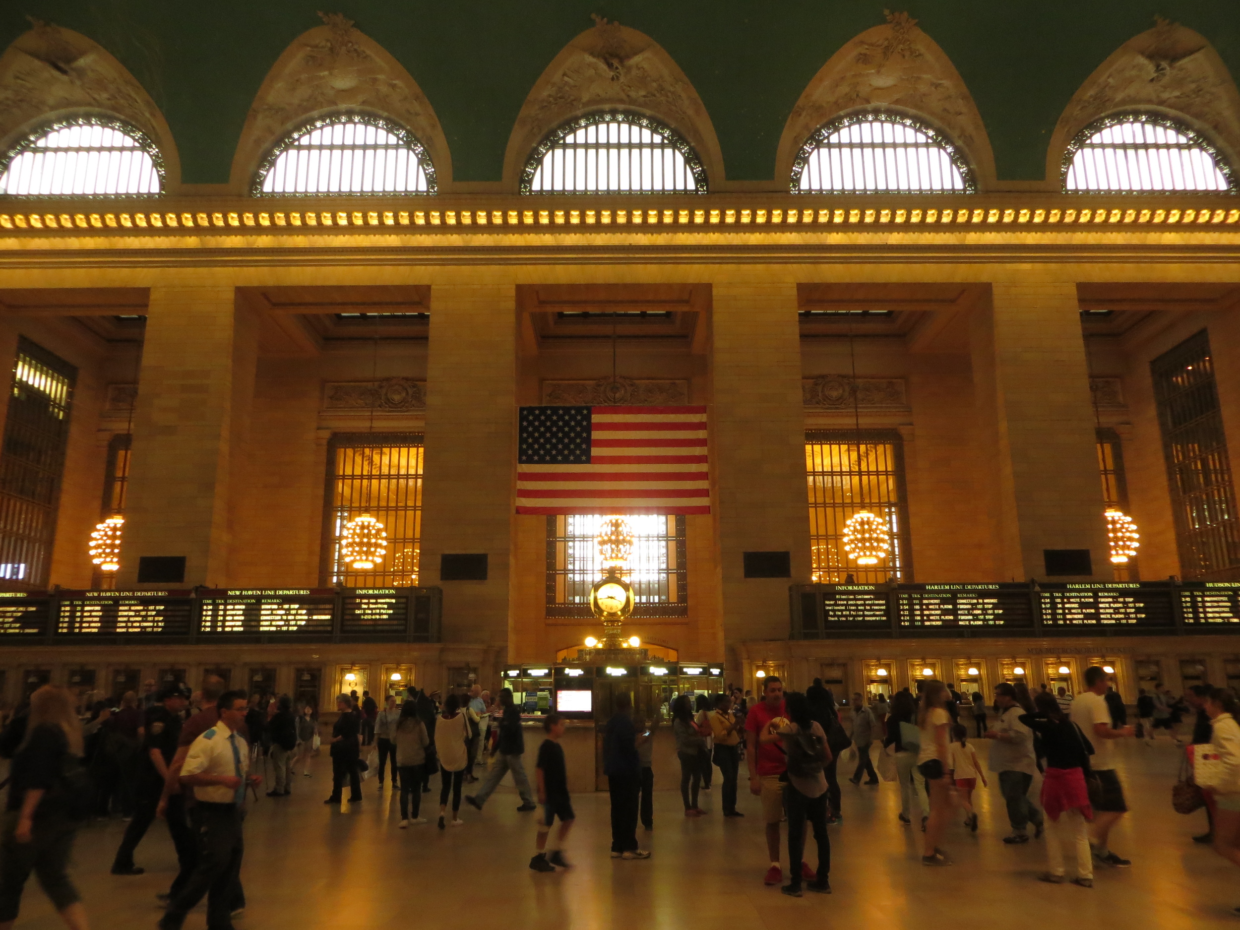
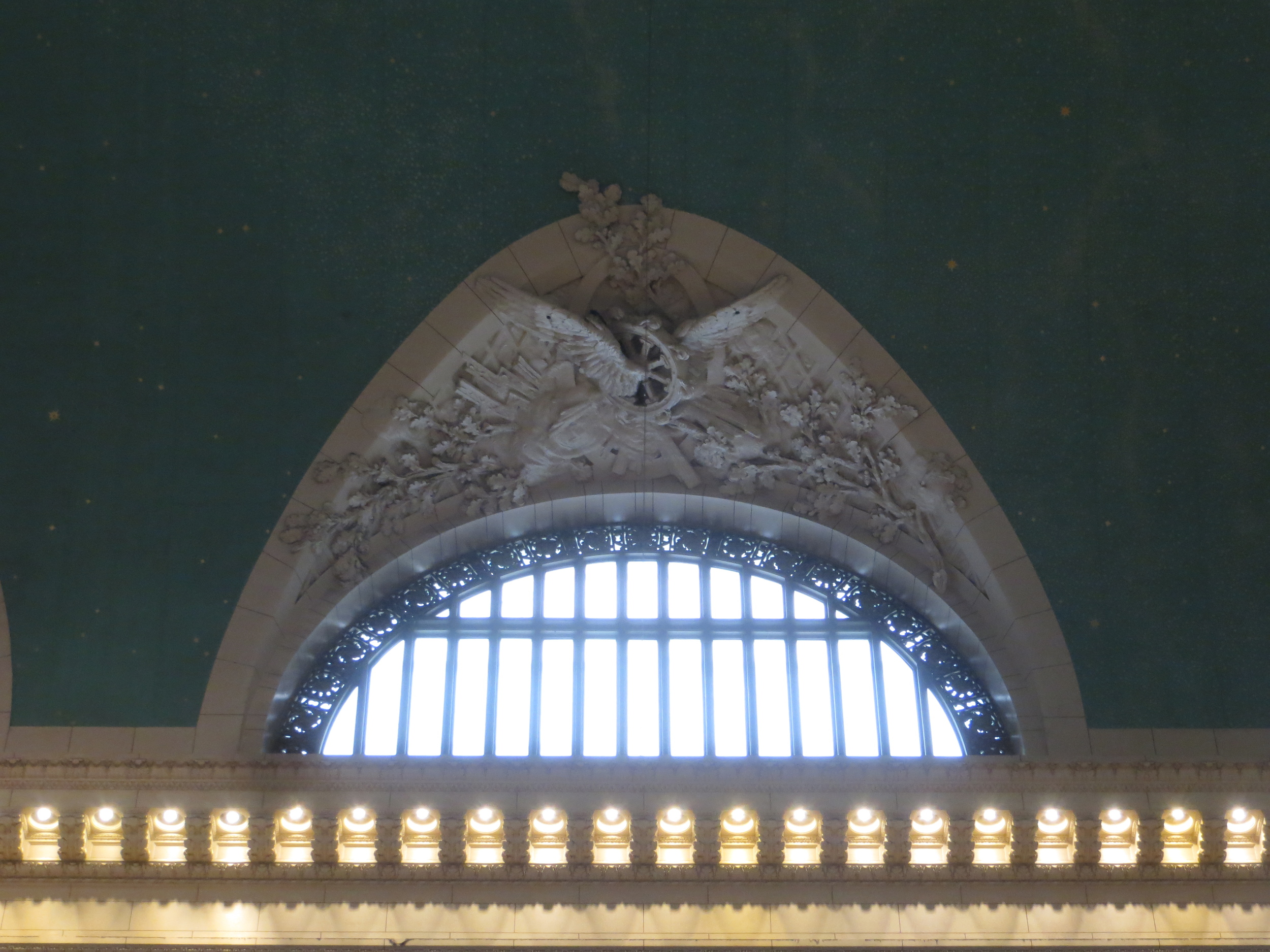
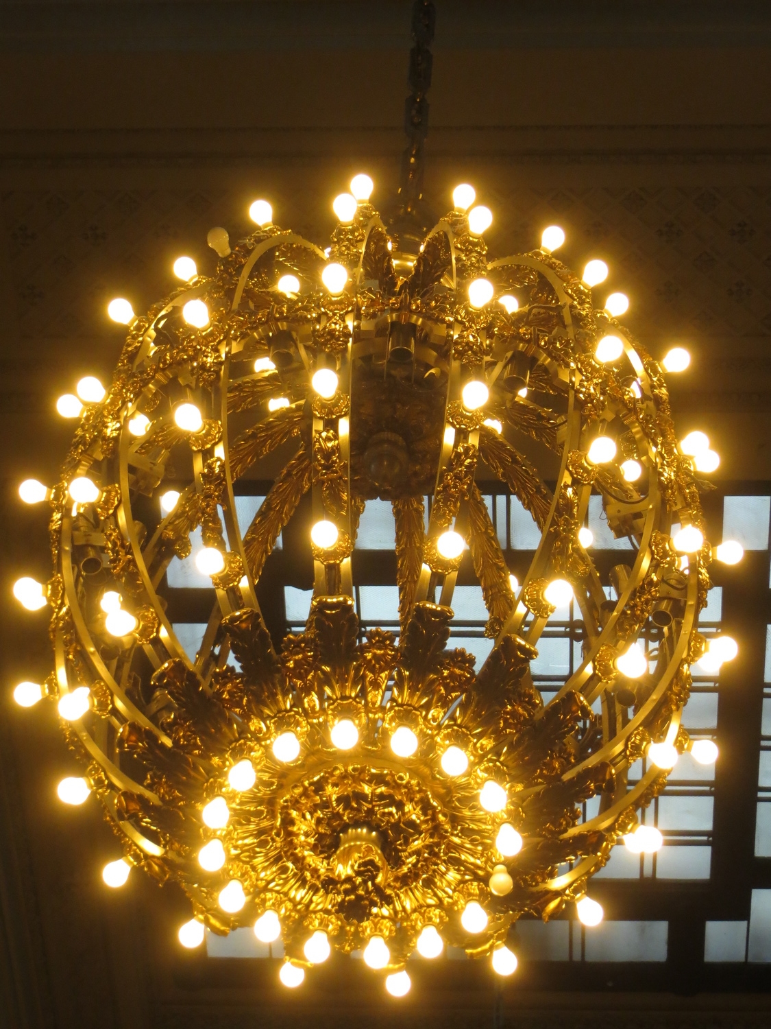
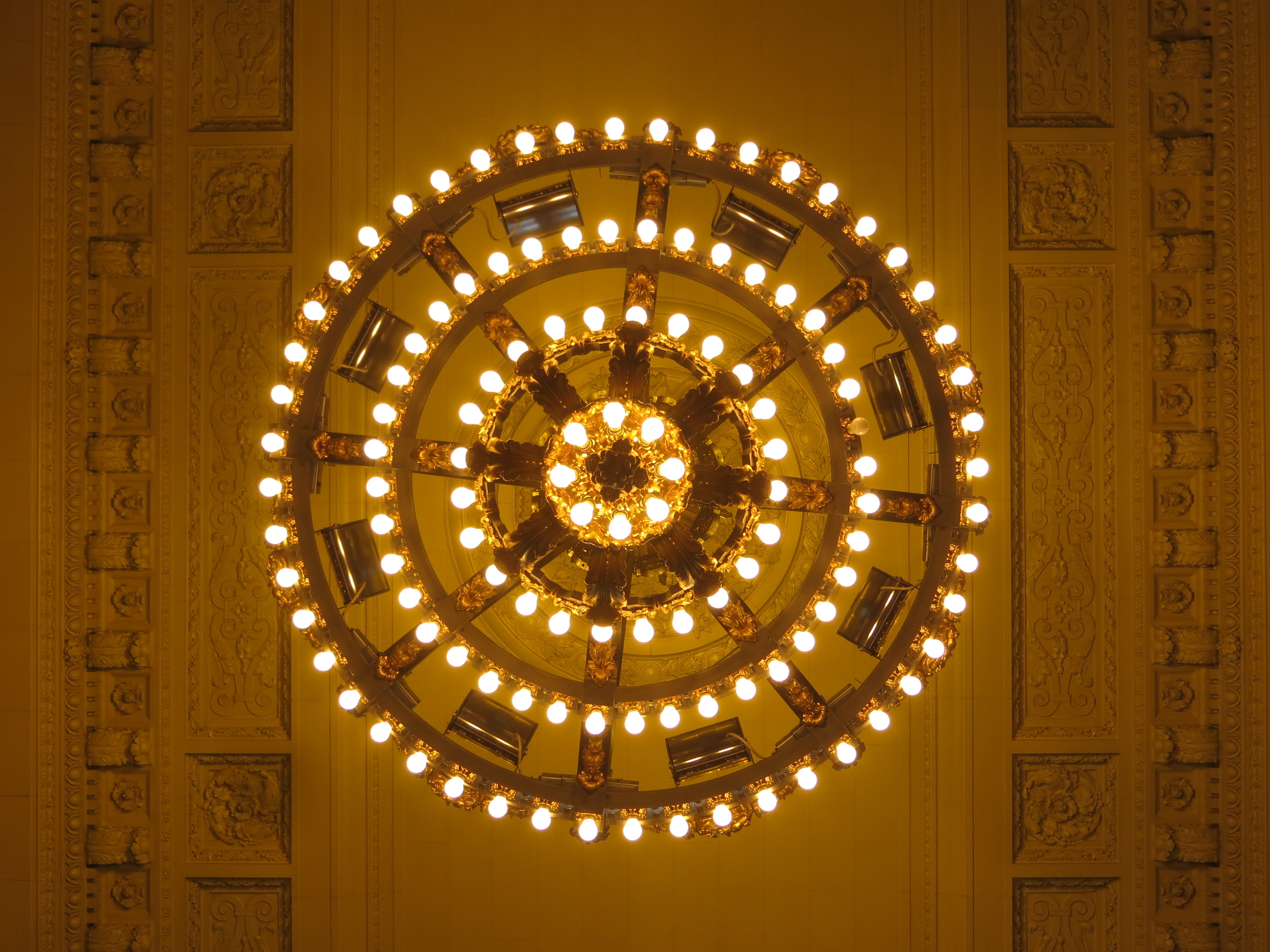
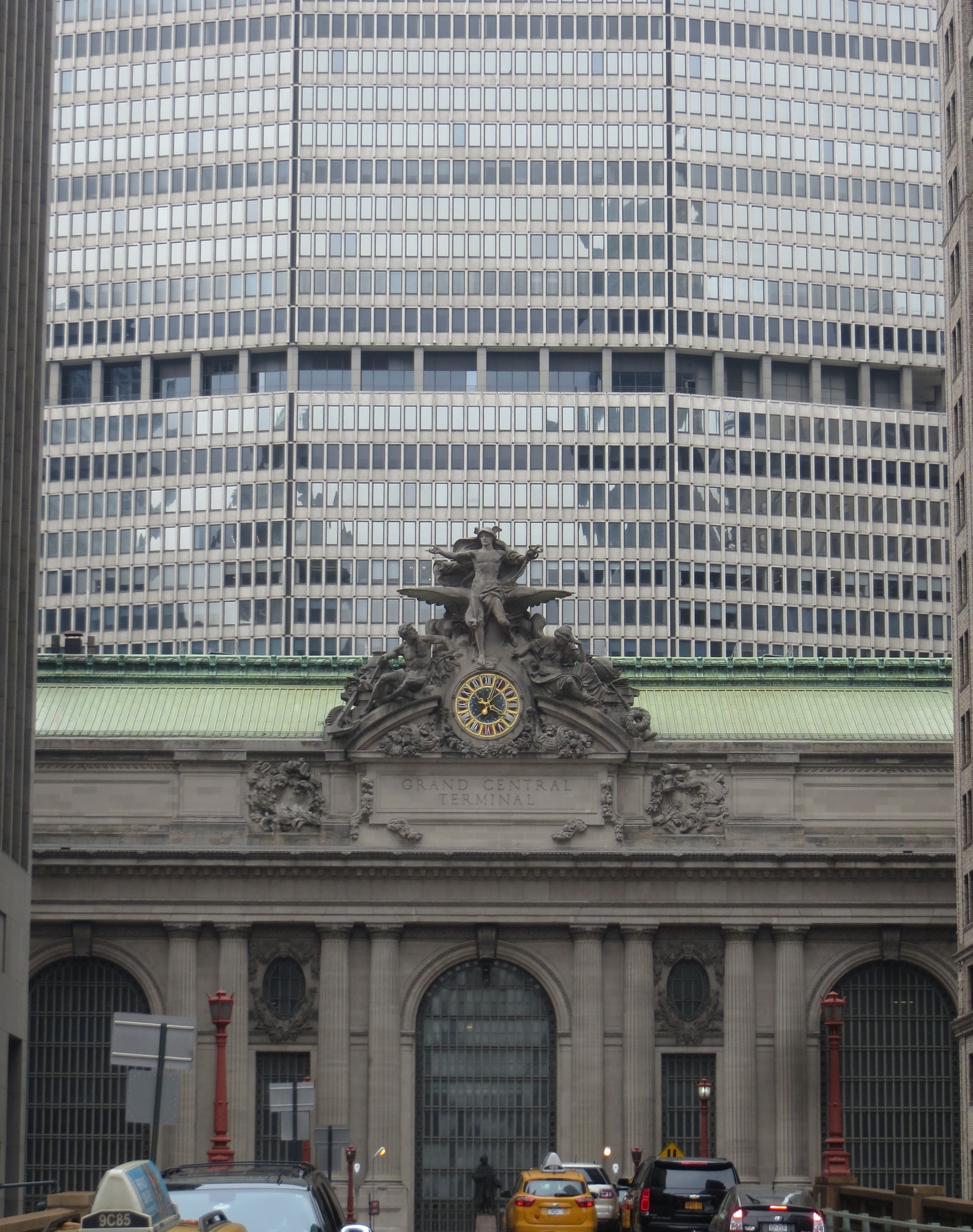
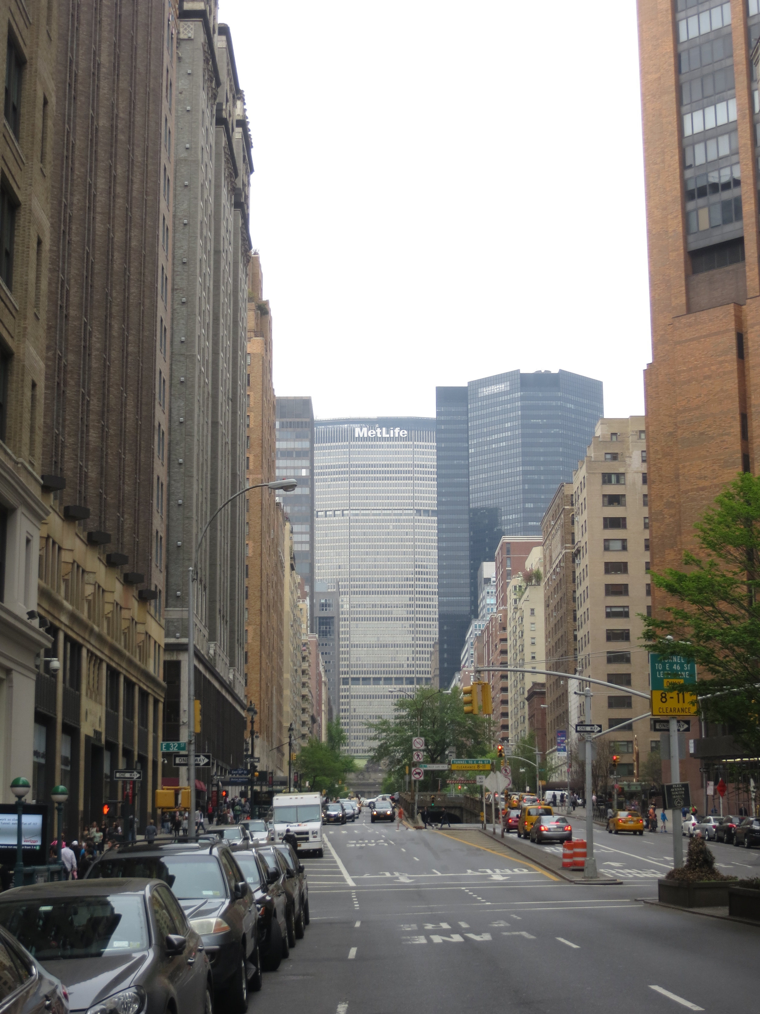
The tracks were completely sunk below street-level and covered by Park Avenue in 1870 with the construction of Grand Central Depot, a train station that connected New York's three major rail lines. It was only three decades before Grand Central Depot was no longer unable to accommodate New York's growing rail traffic, and in 1903 it was demolished to make way for Grand Central Terminal (completed in 1913). Grand Central Terminal stands in the middle of Park Avenue occupying the space between 45th St. and 42nd St., and with 44 platforms is the largest railroad station in the world.
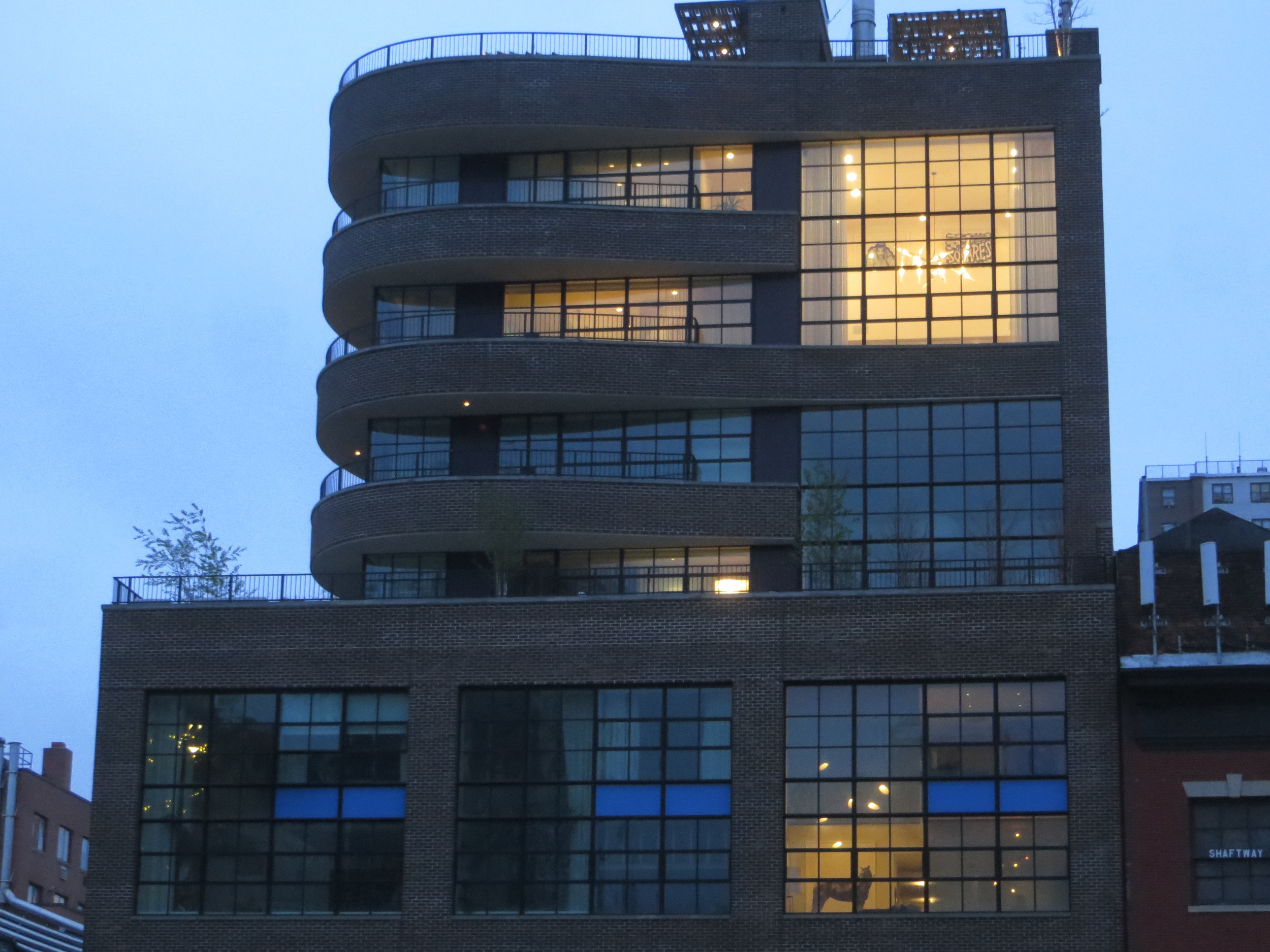
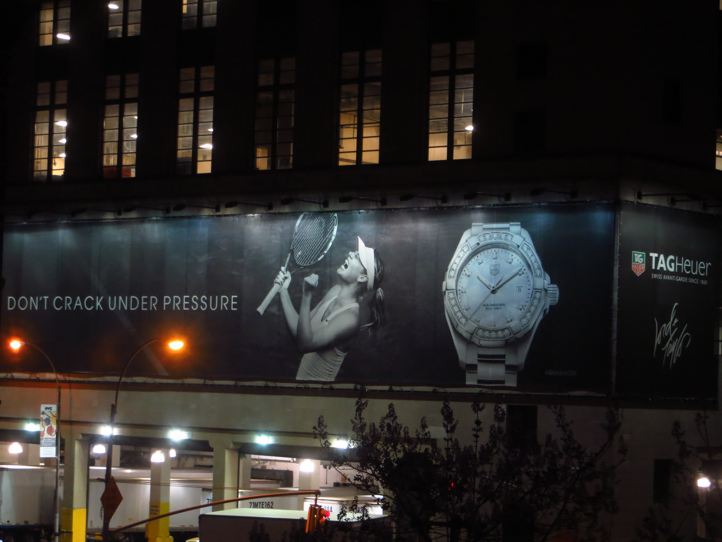
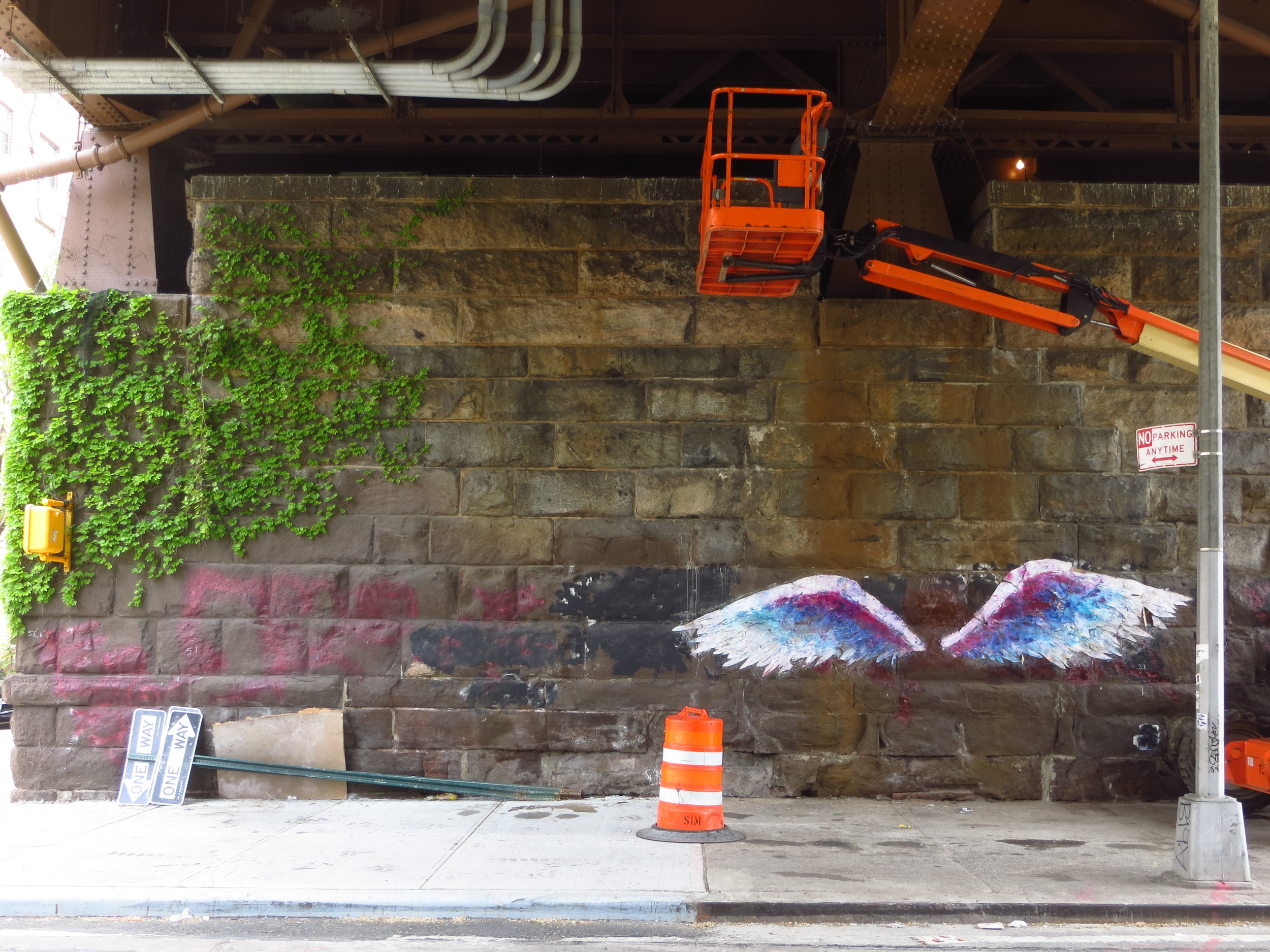
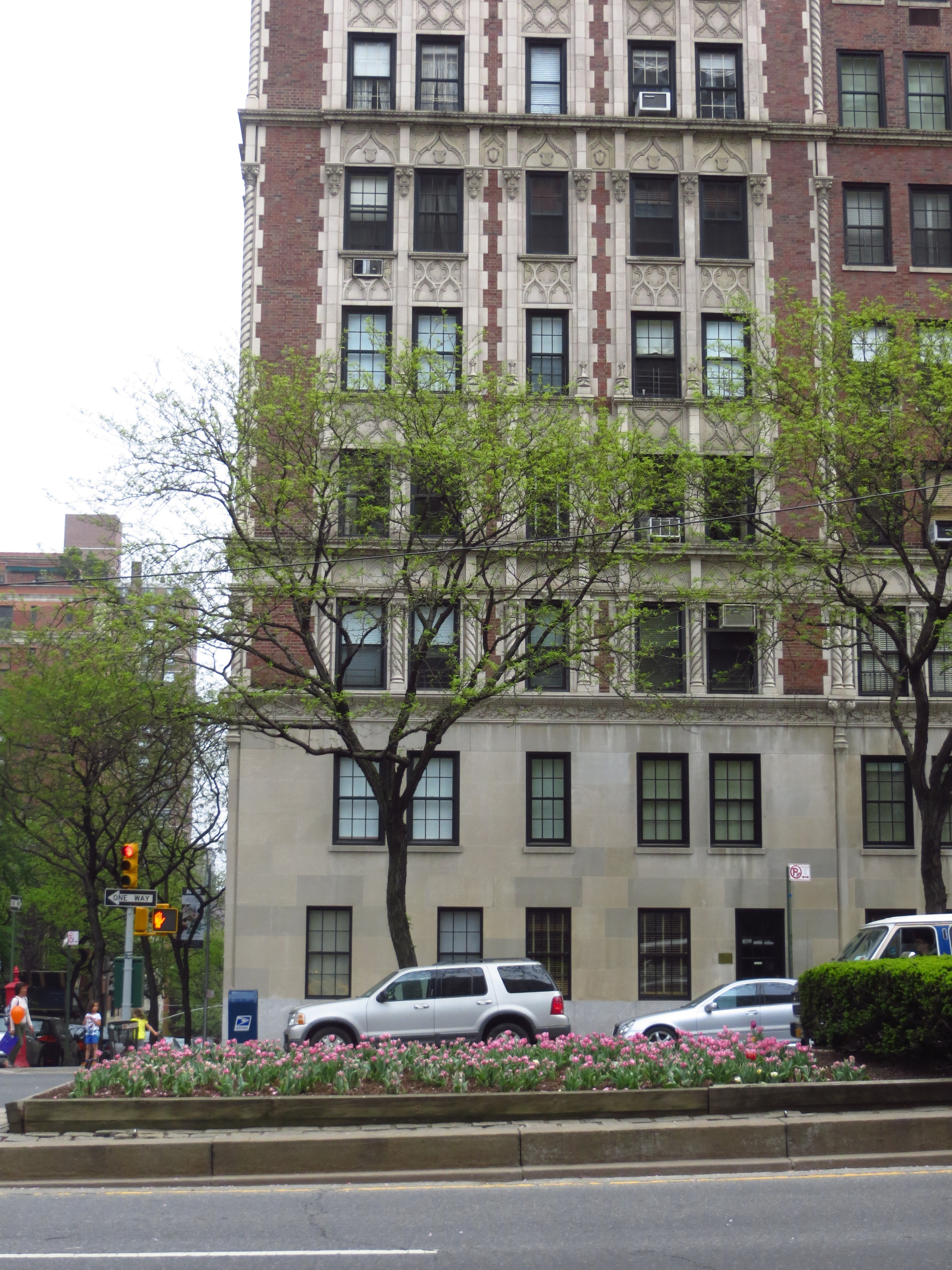
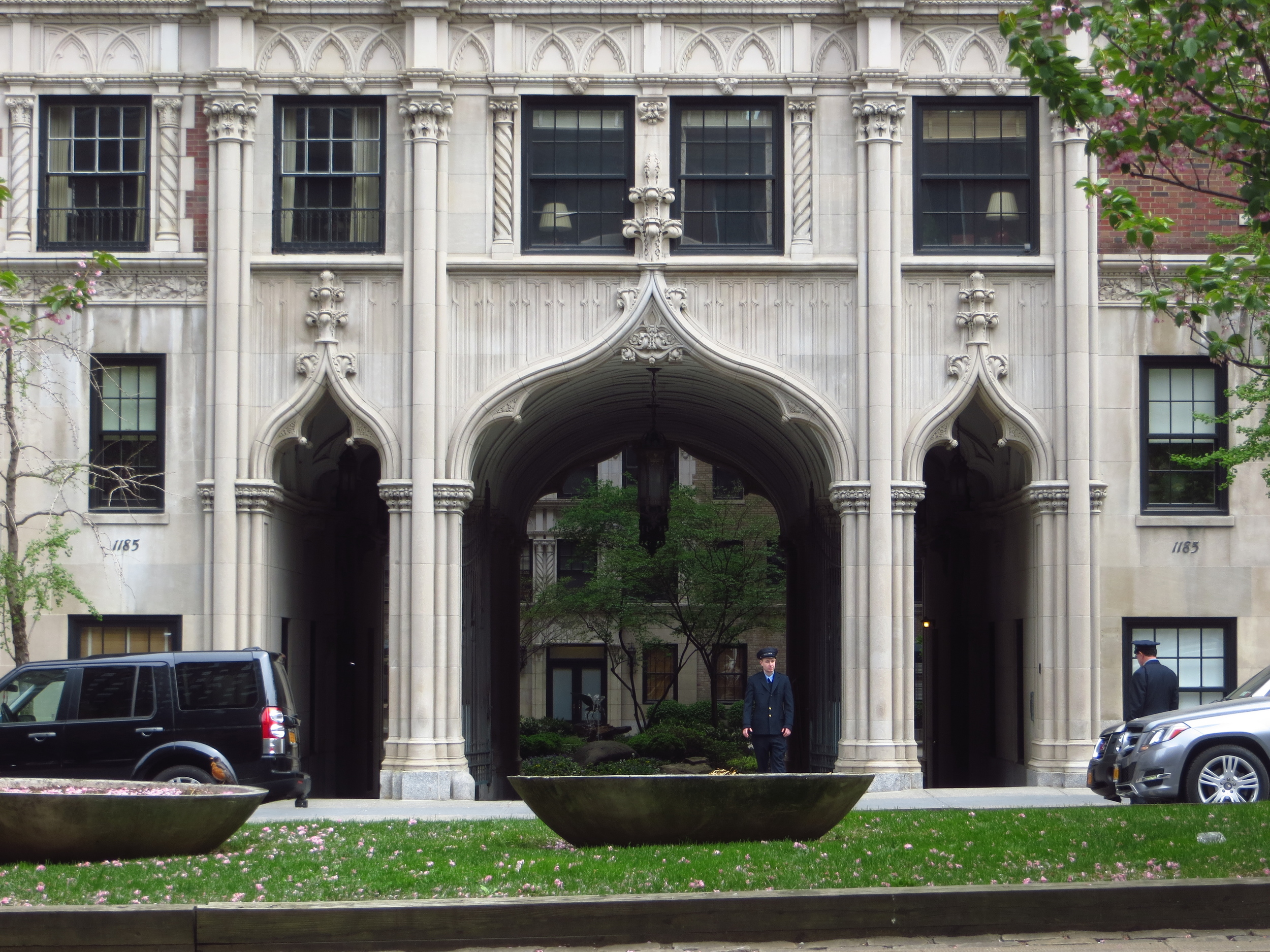
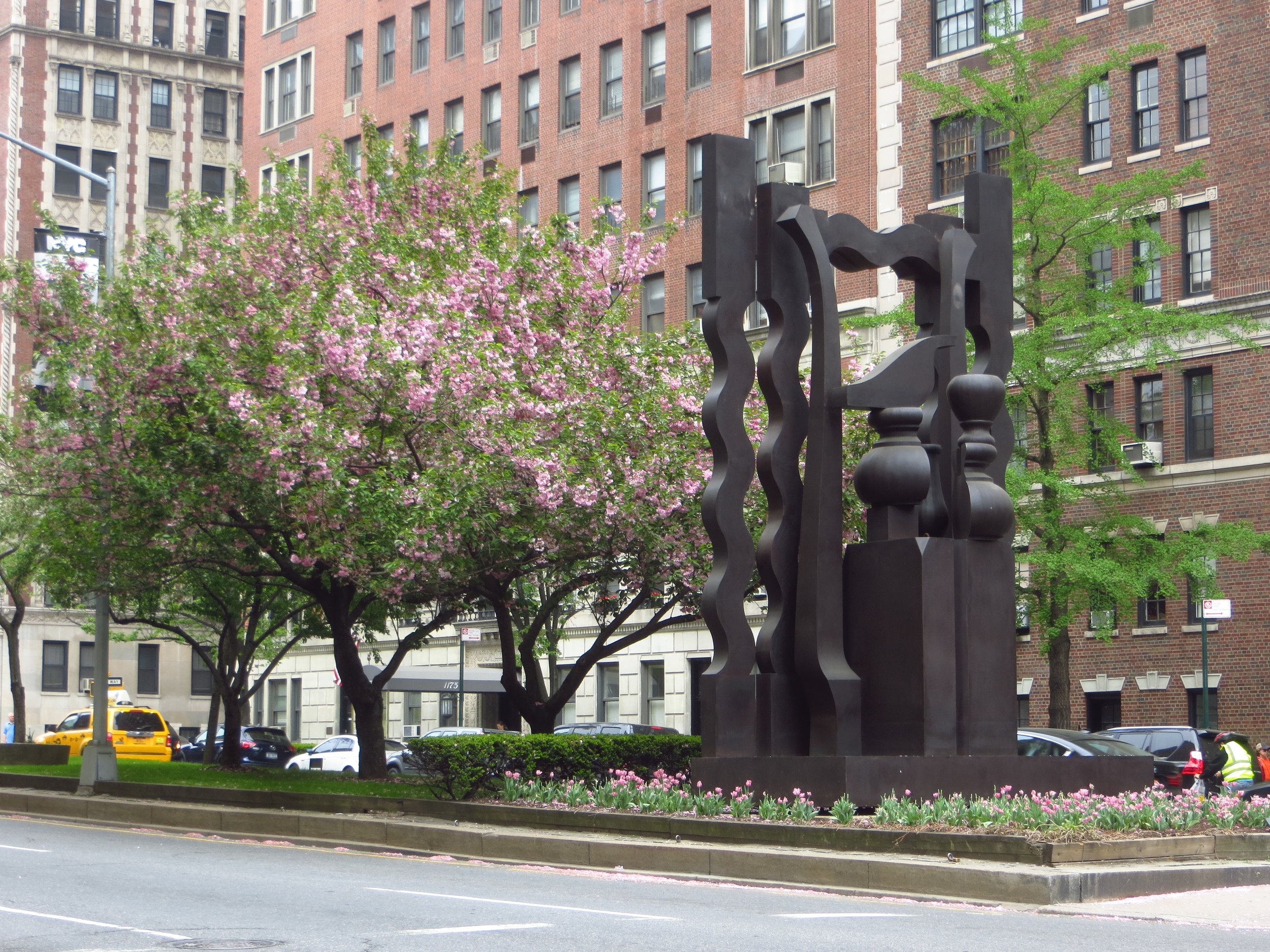
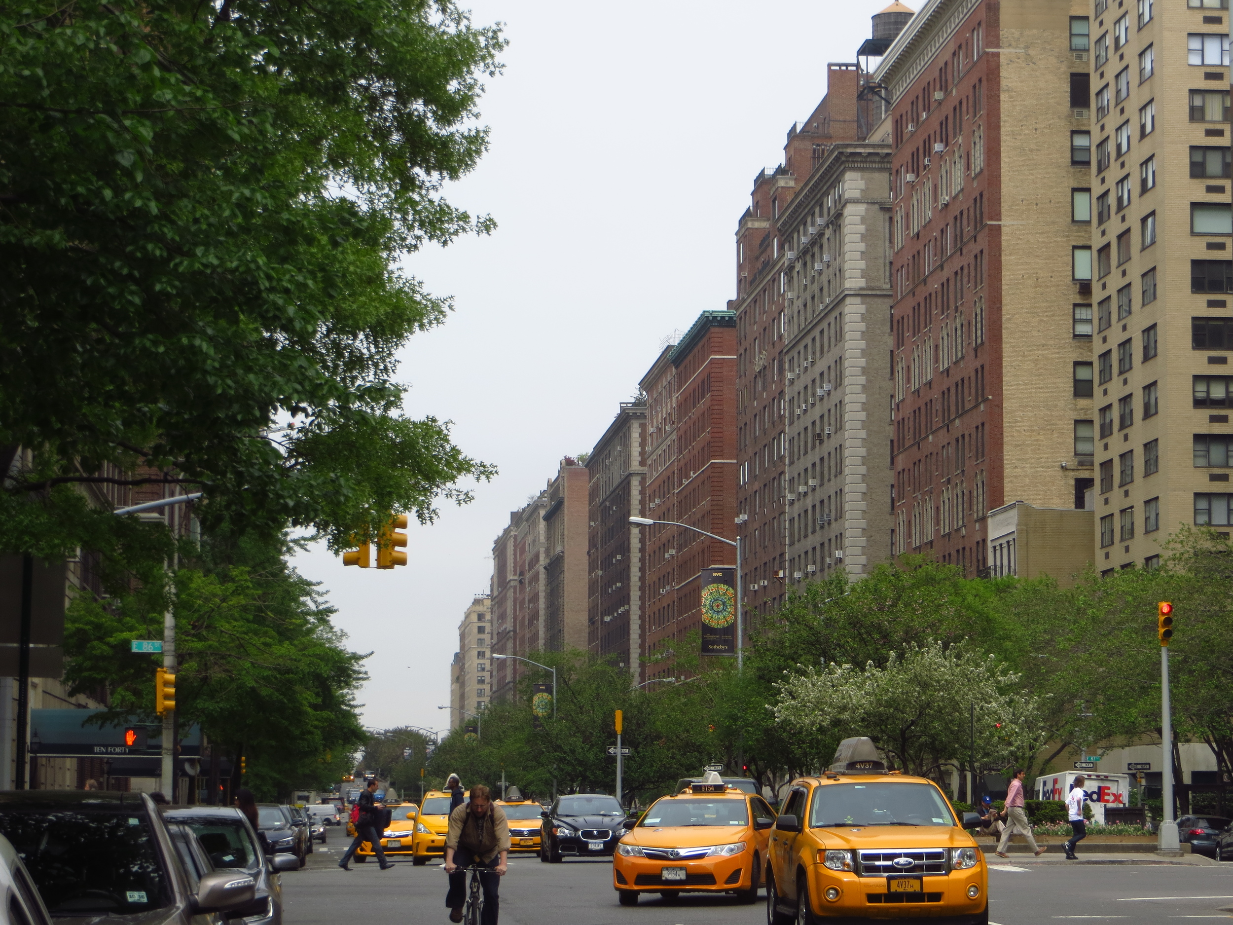
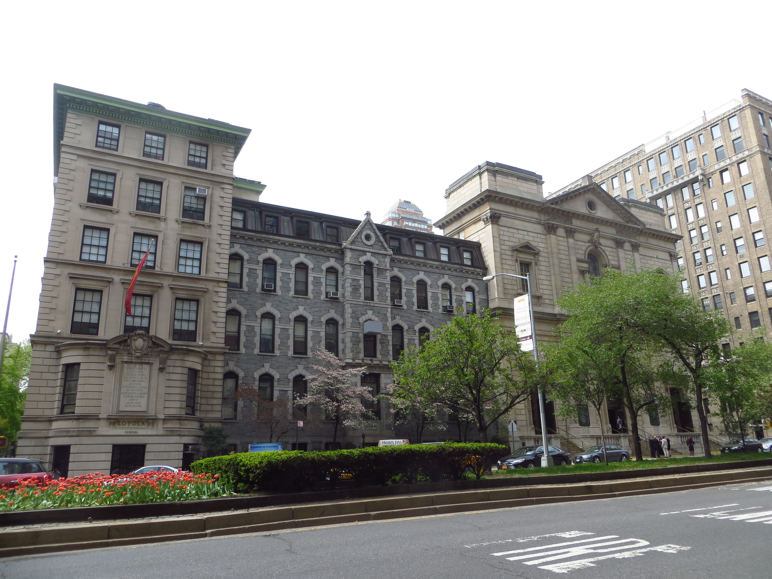
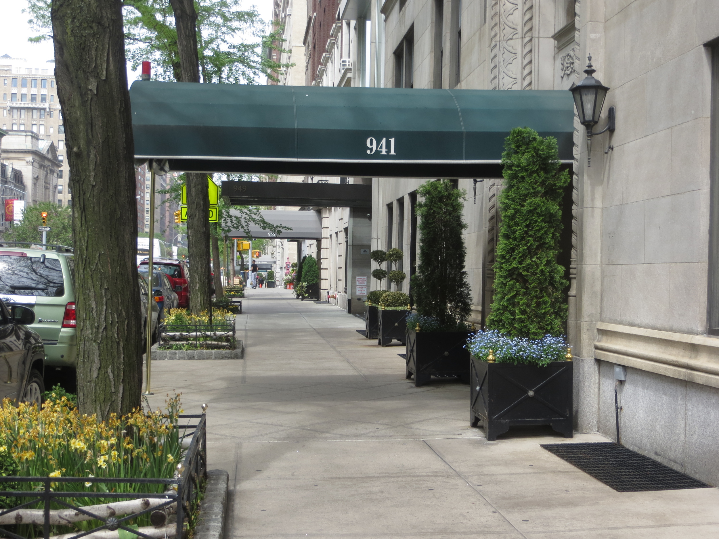
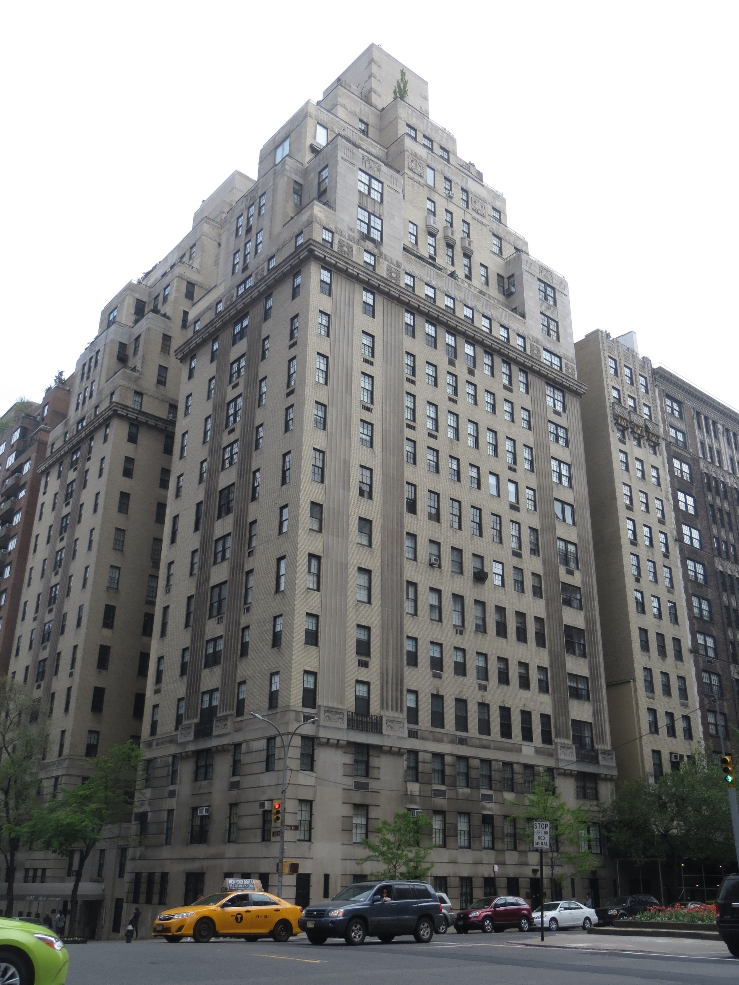
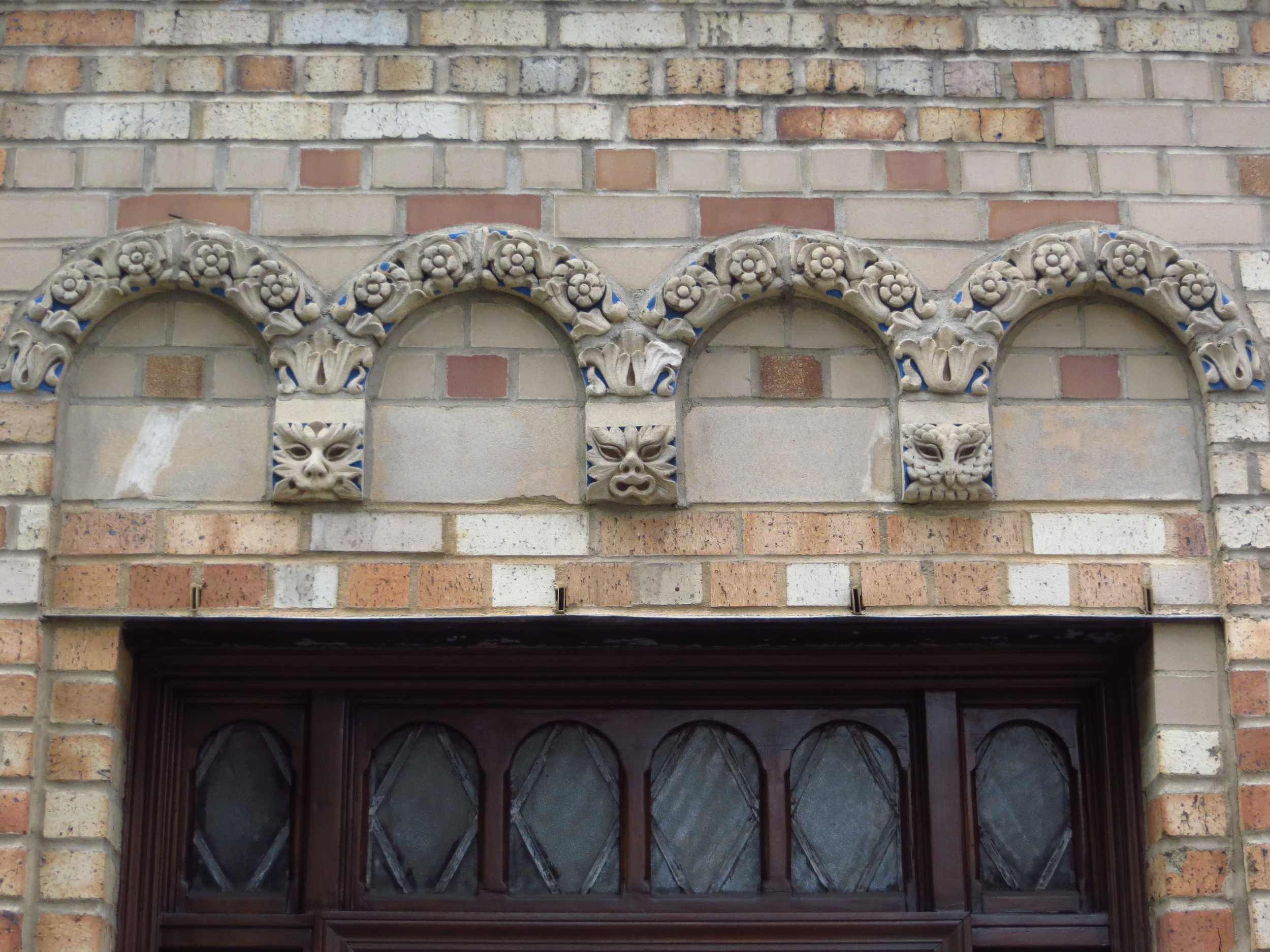
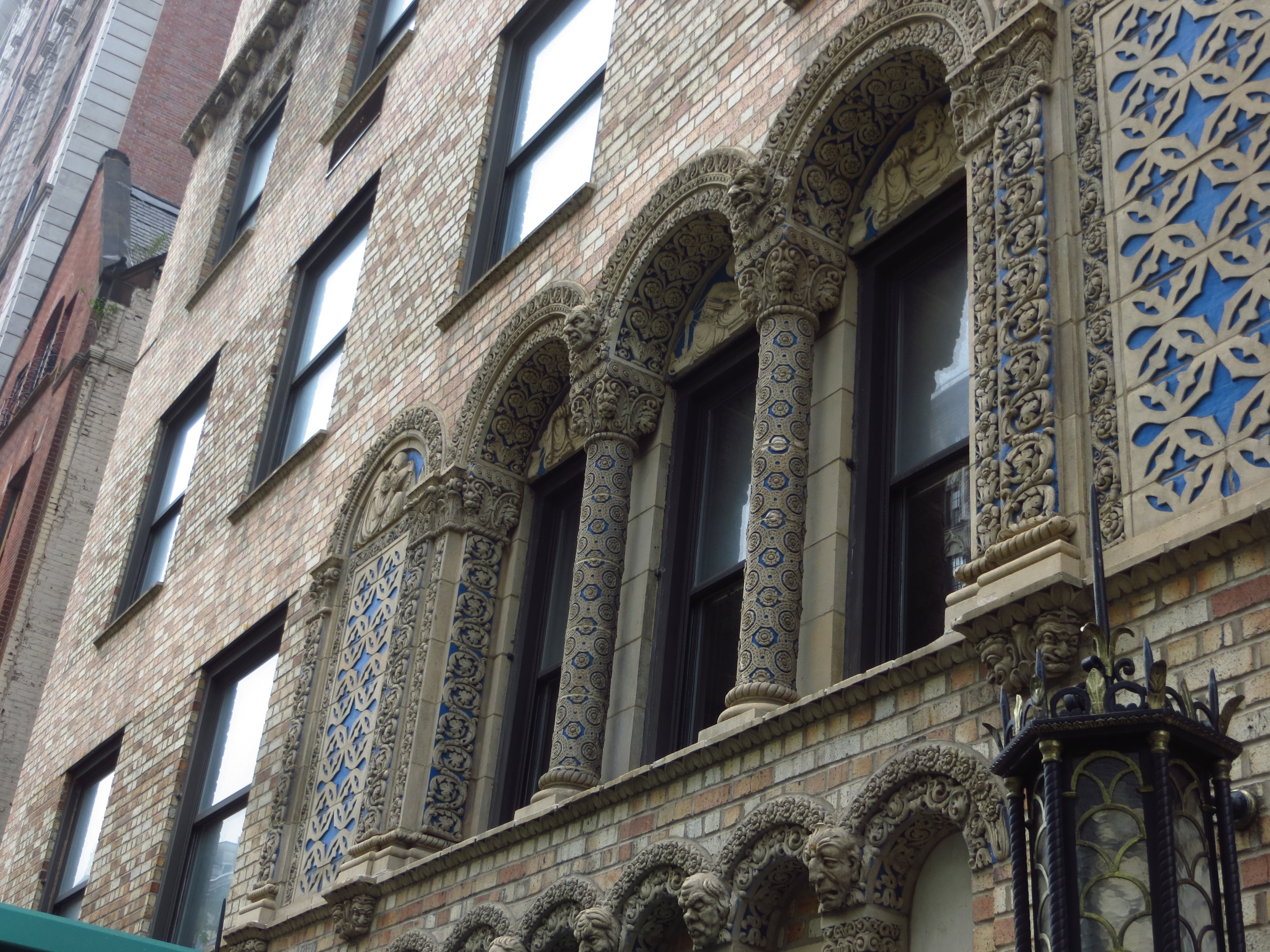
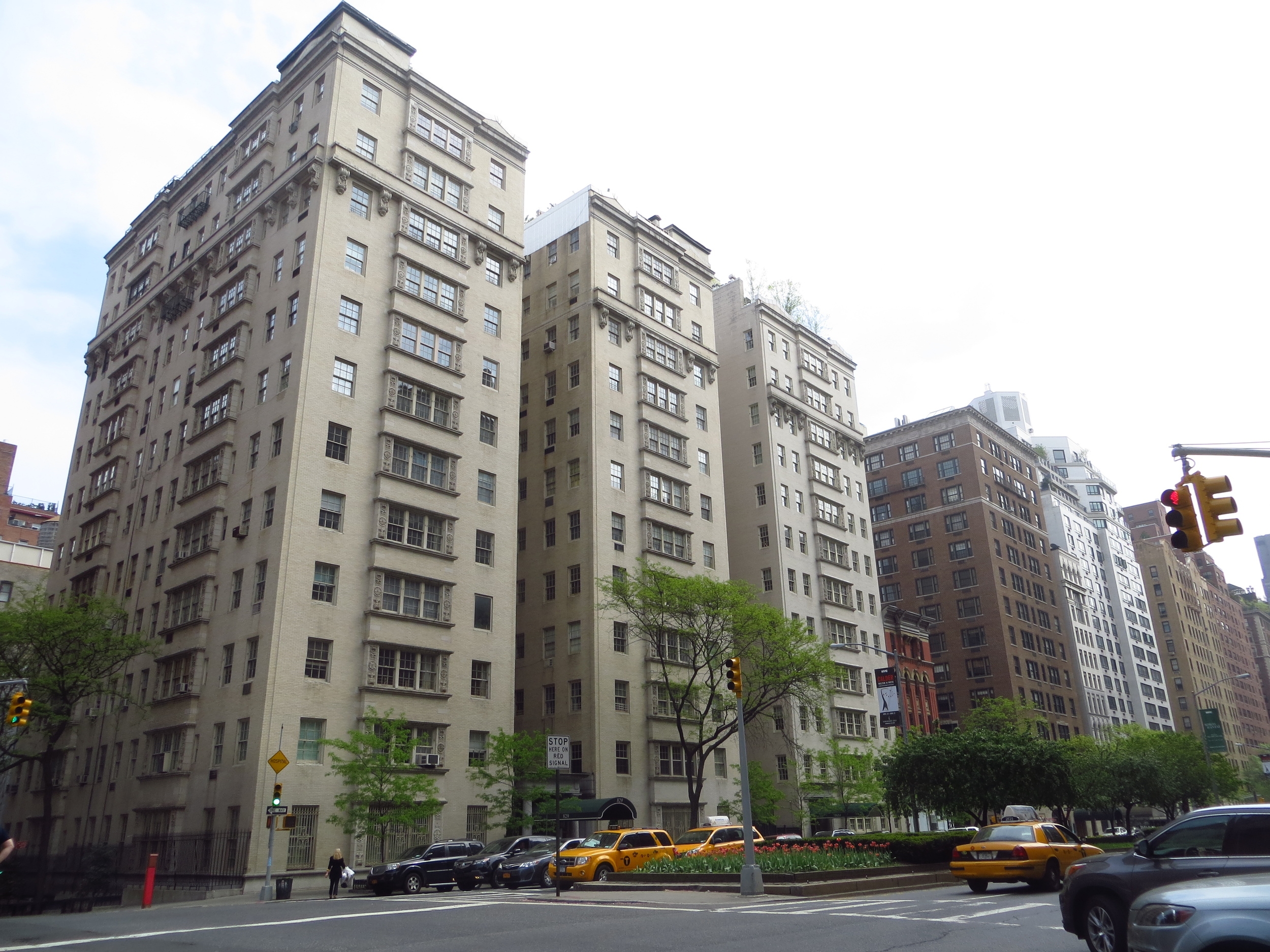
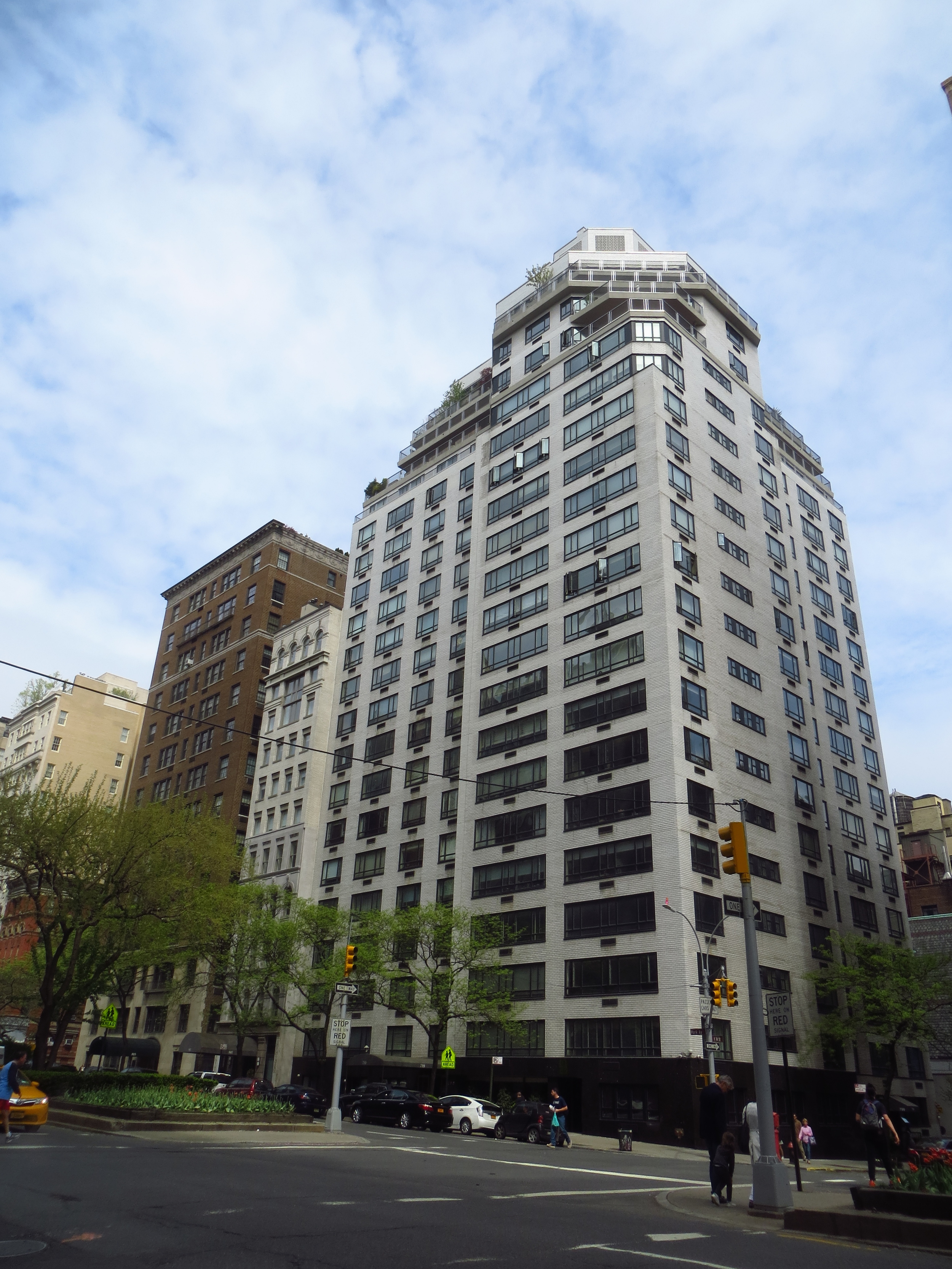
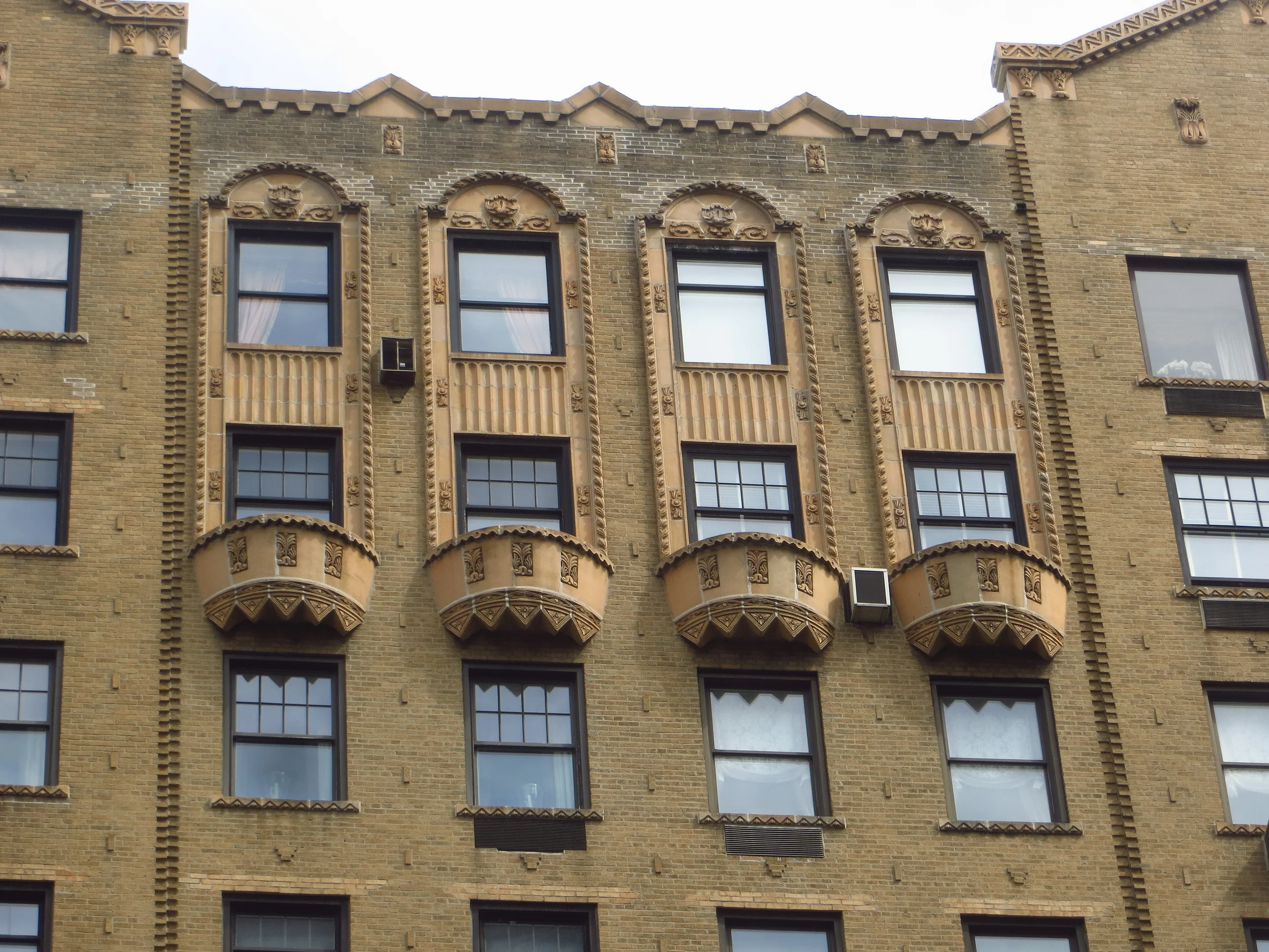
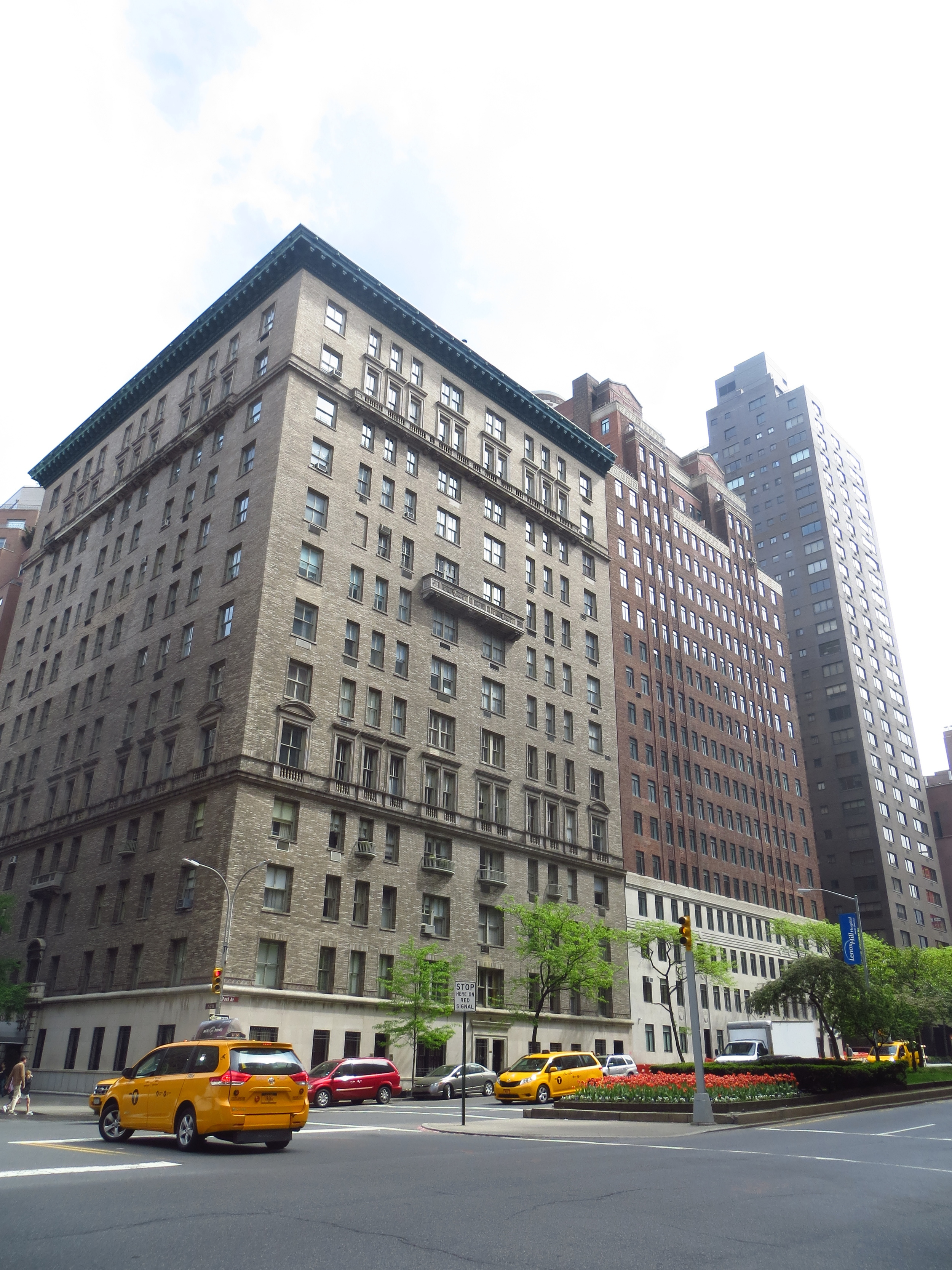
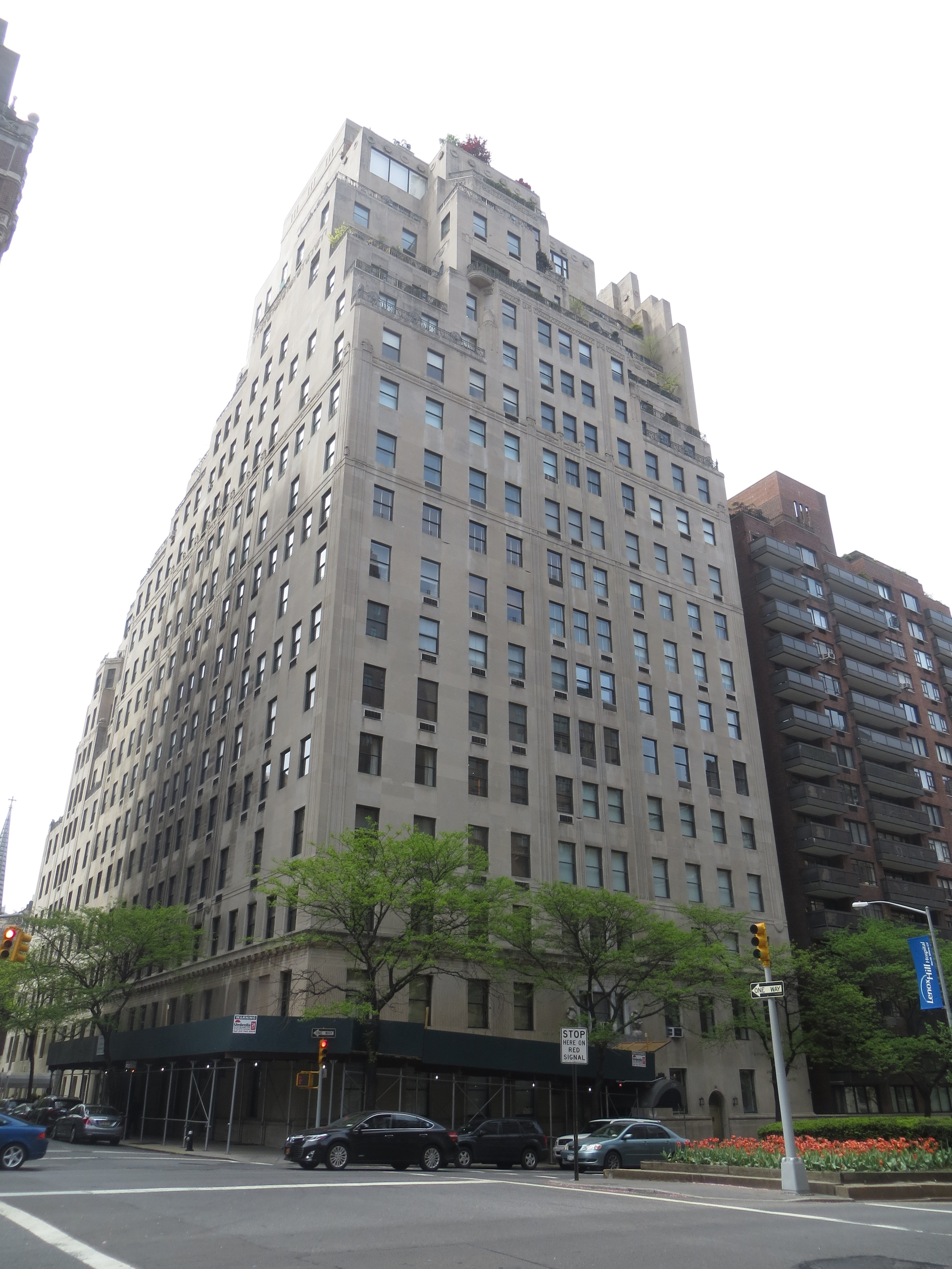
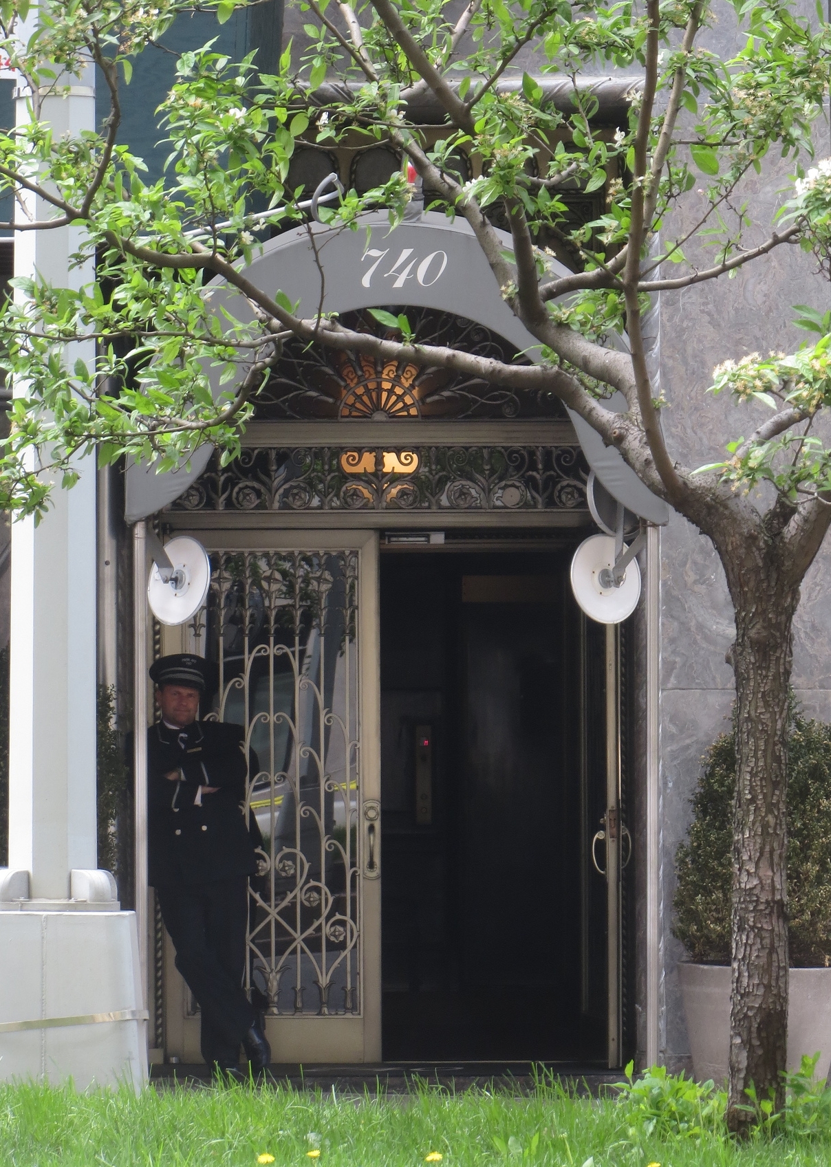
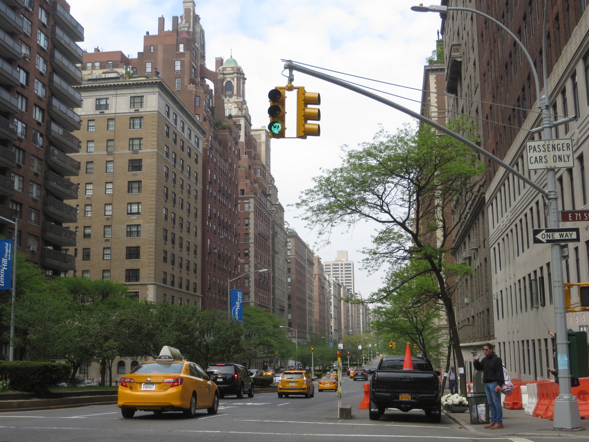
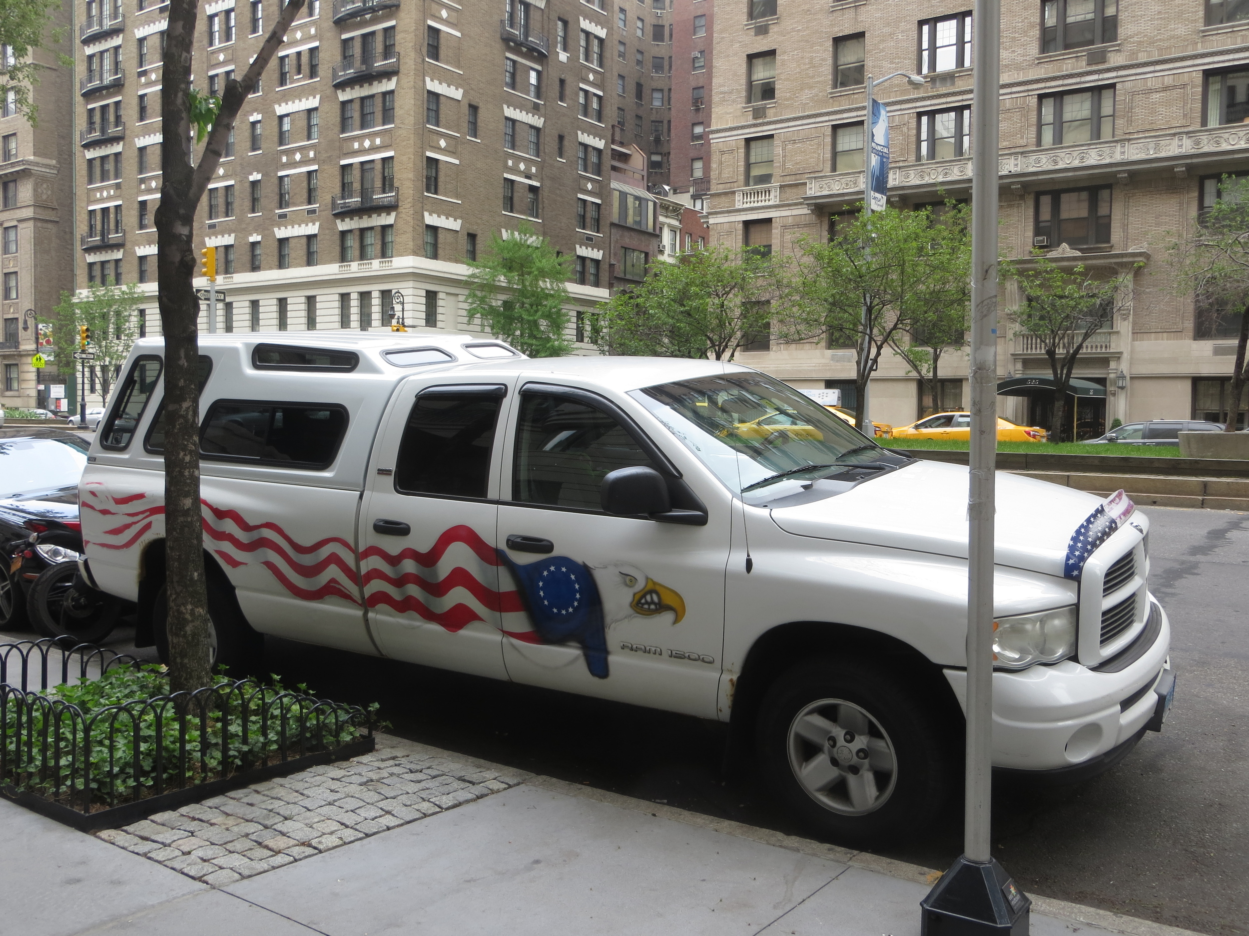
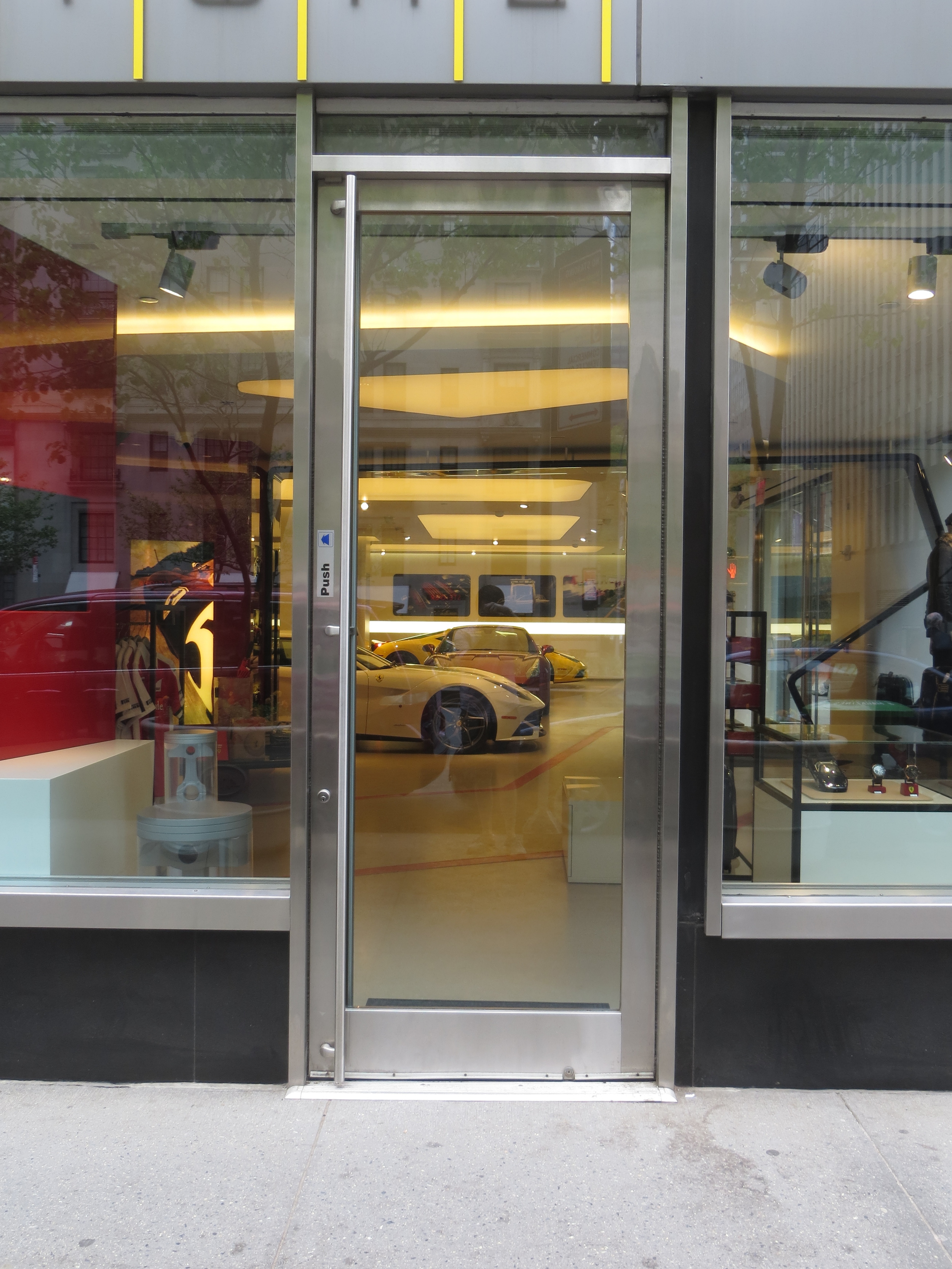
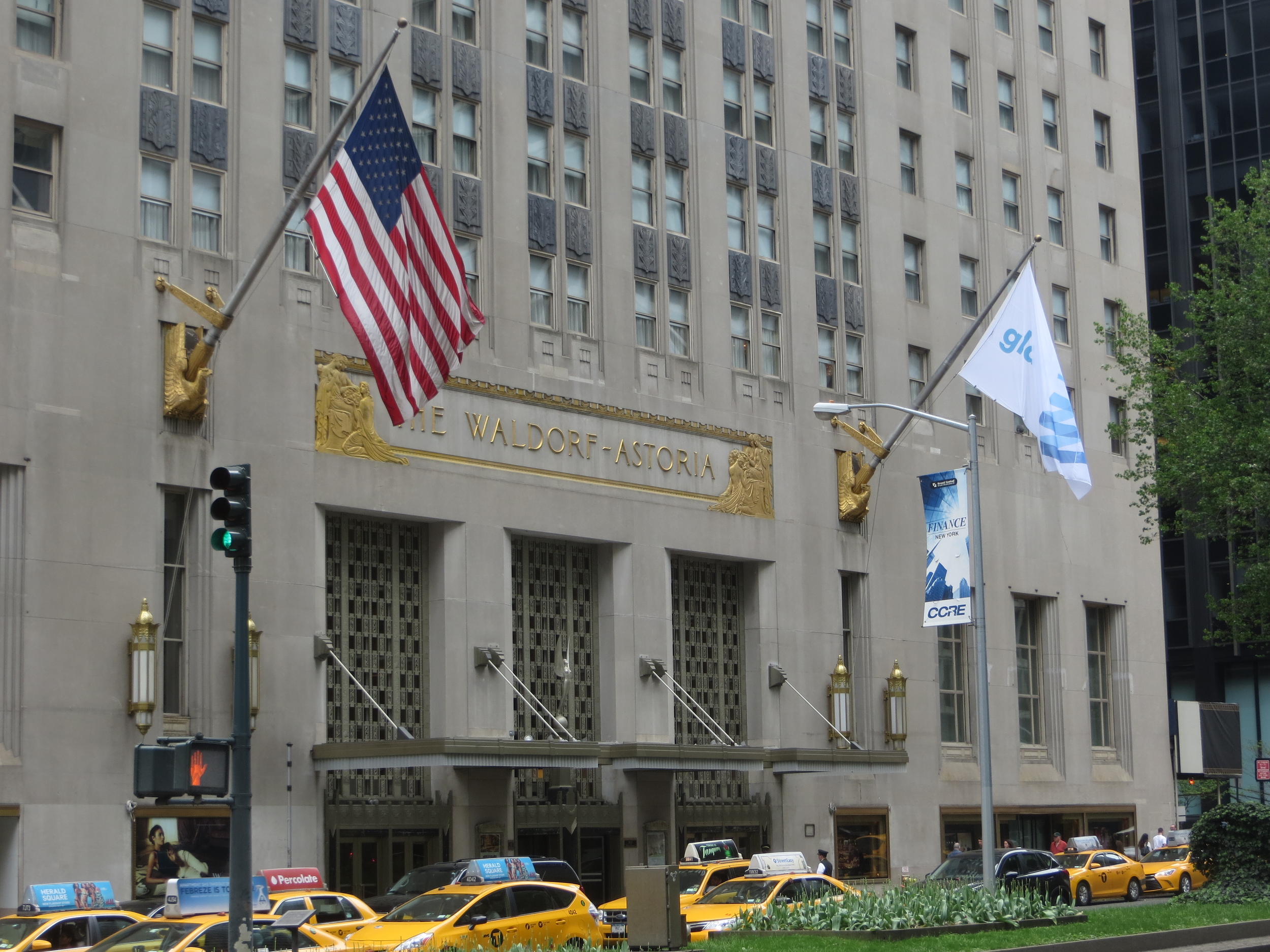
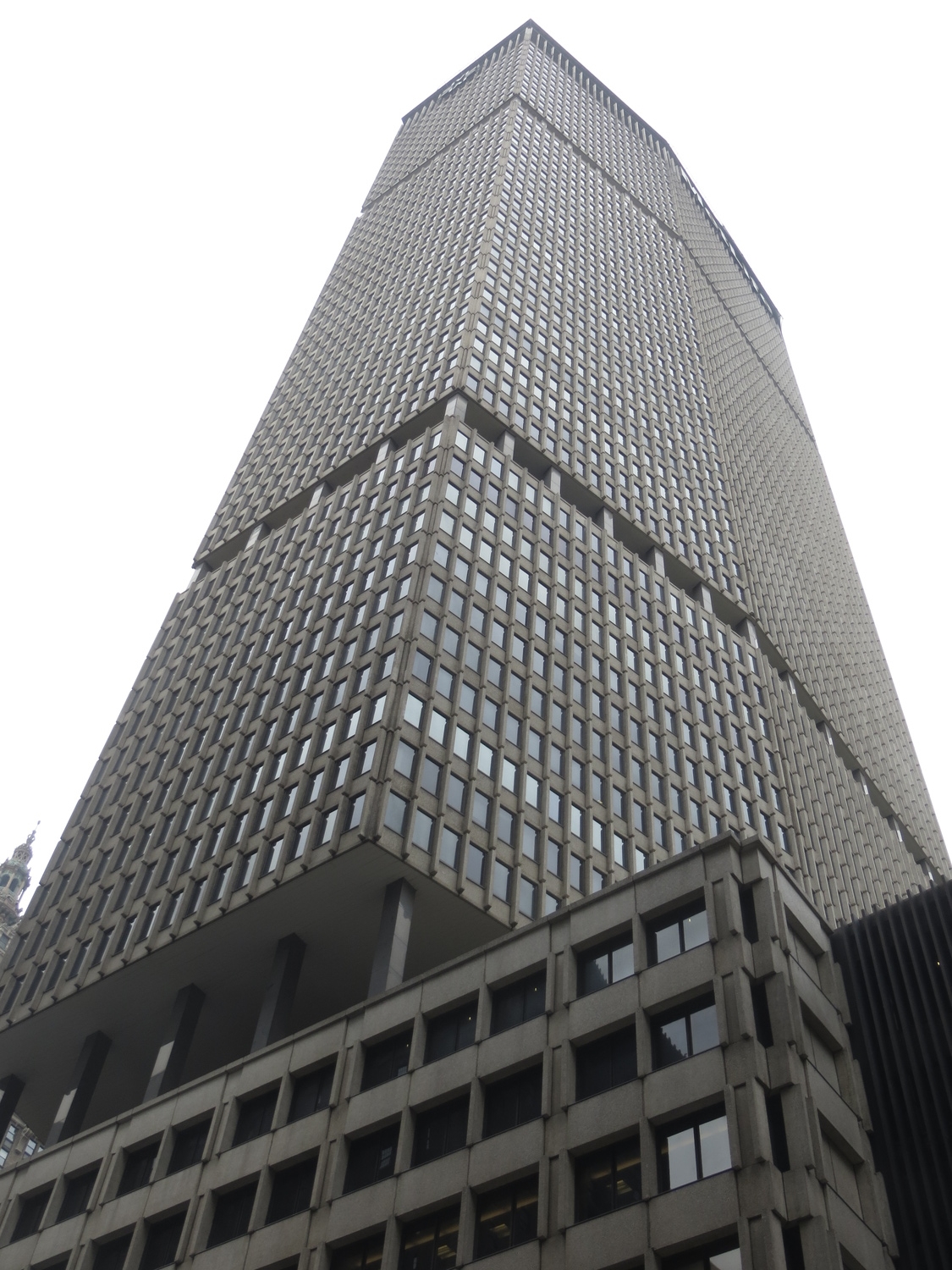
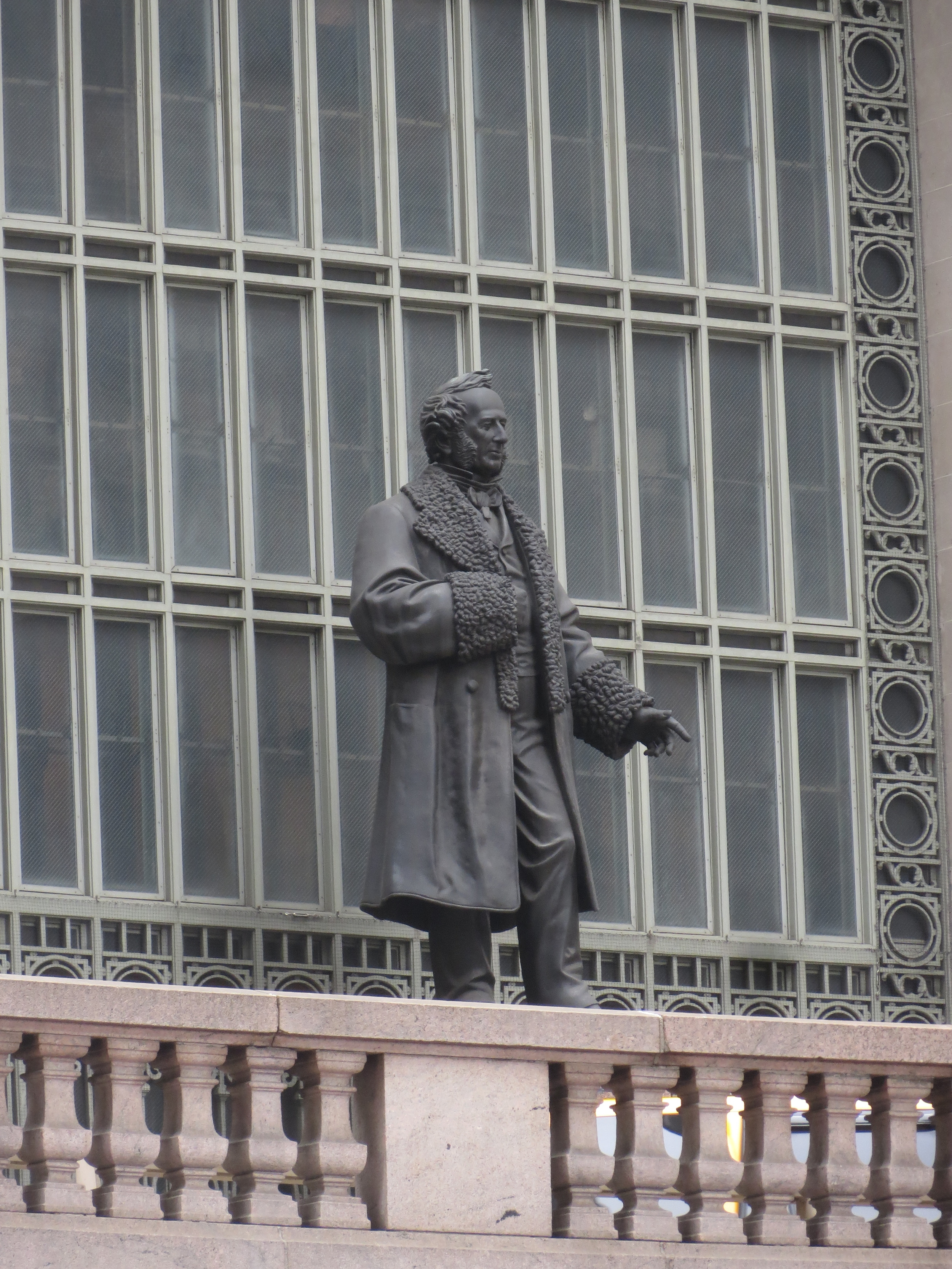
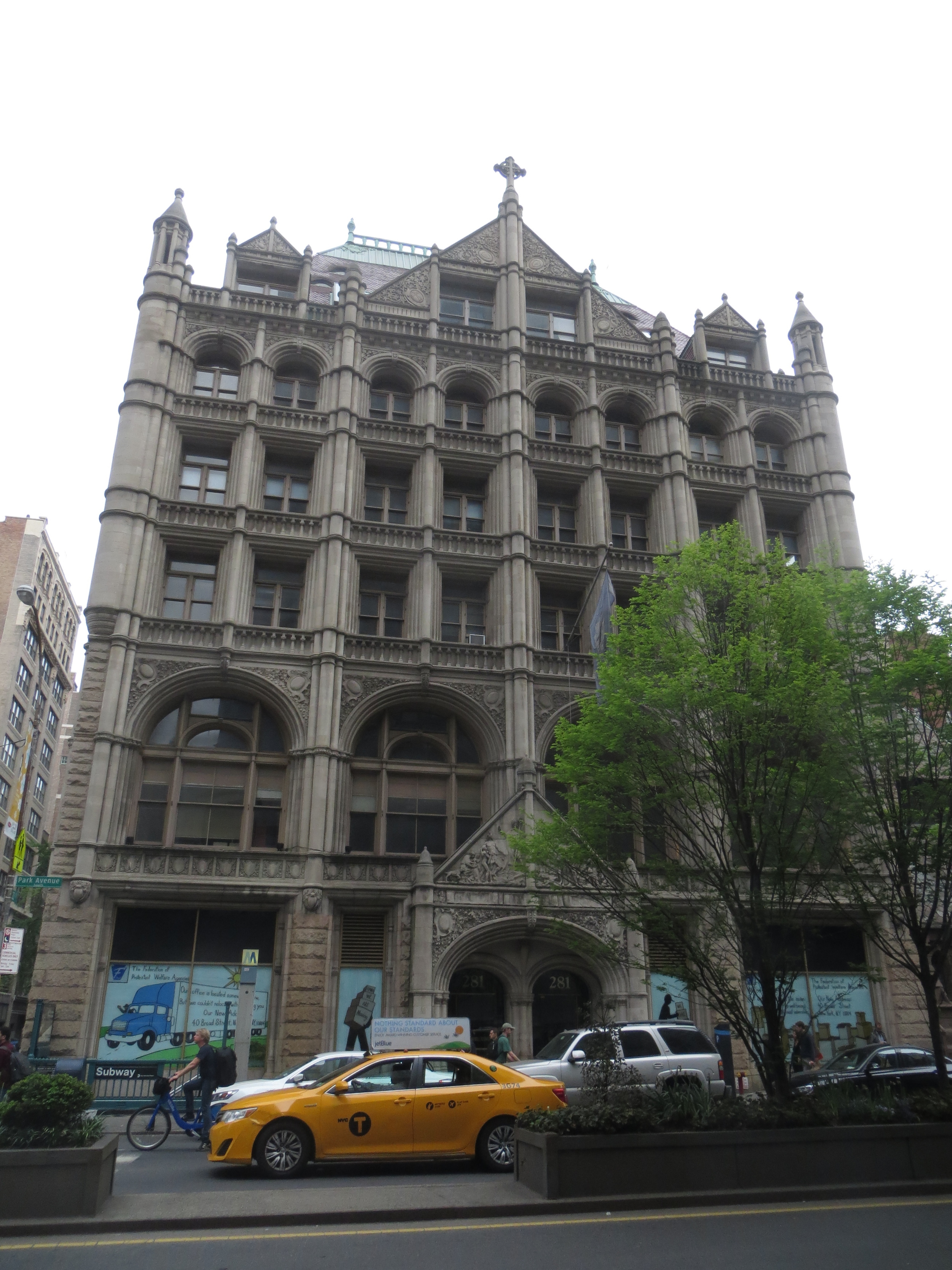
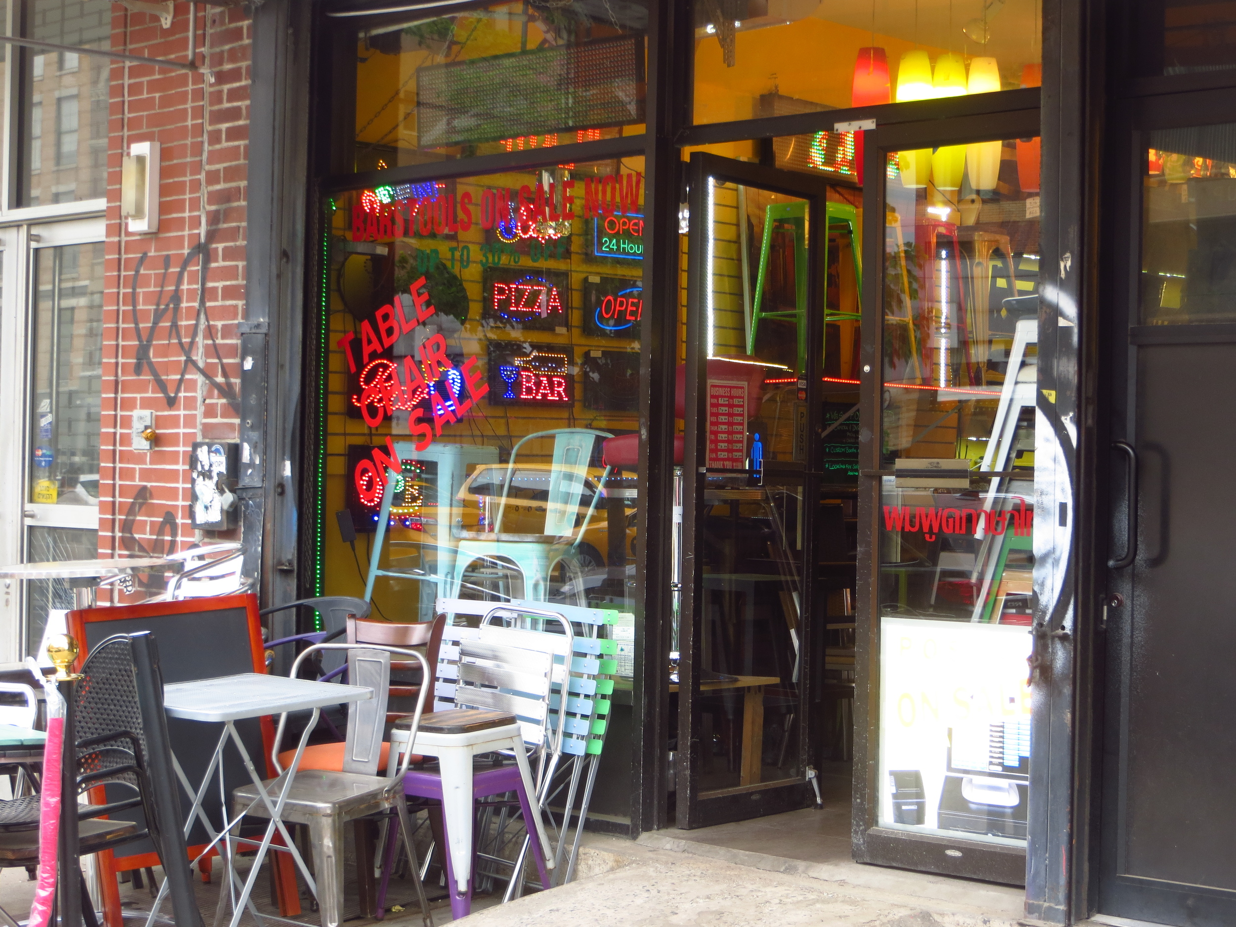
Park Avenue is popularly known as a home of the extremely rich, and this reputation is well earned. On the Upper East Side, Park Avenue is lined with very expensive, very exclusive, apartment buildings. One of these, 740 Park Avenue (located at Park and 72nd), is widely considered to be New York's wealthiest address (in 2012 it boasted the nation's' highest concentration of billionaires) - today it houses a Koch brother, hedge fund titans, and various heirs and heiresses.
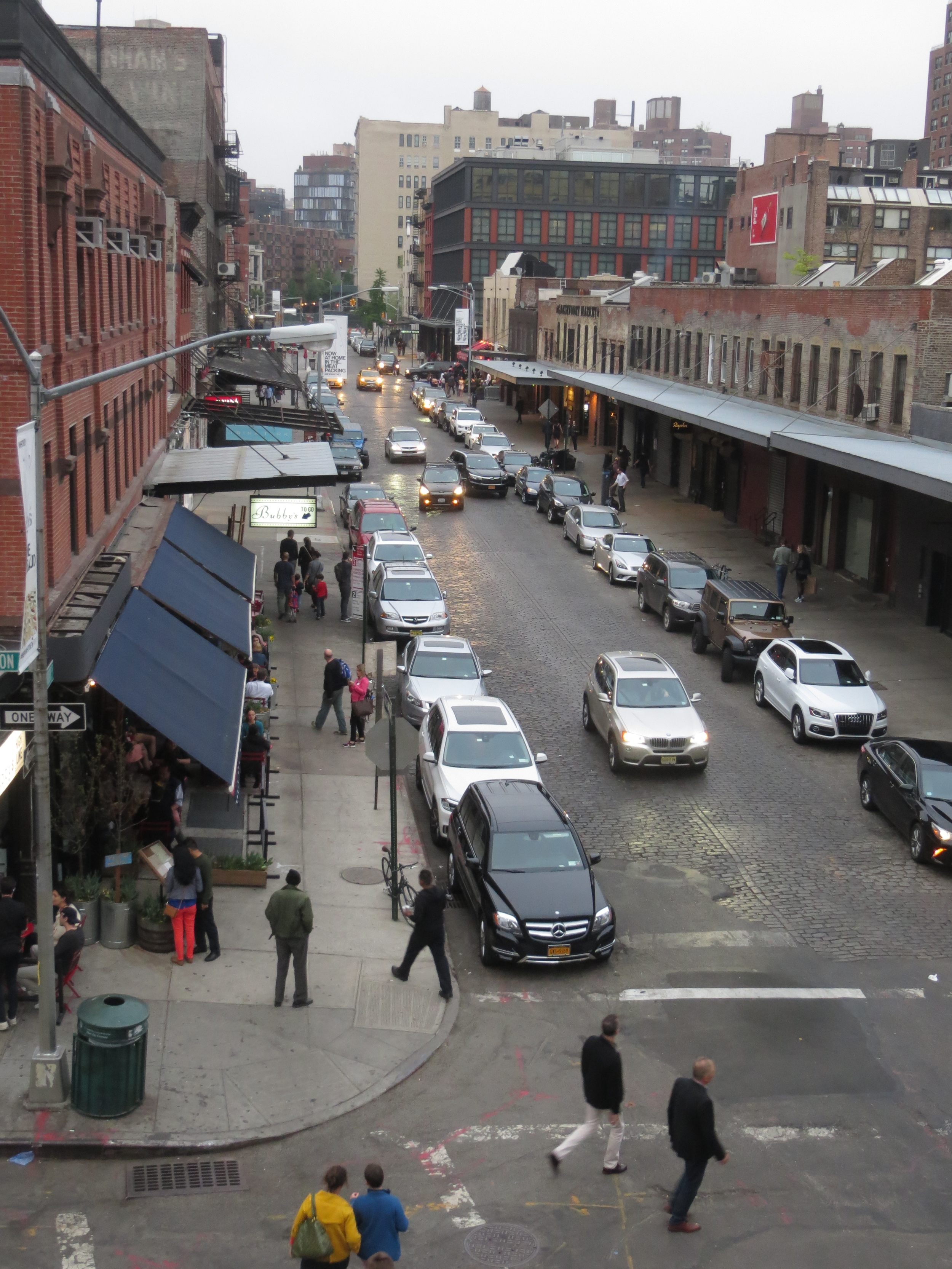
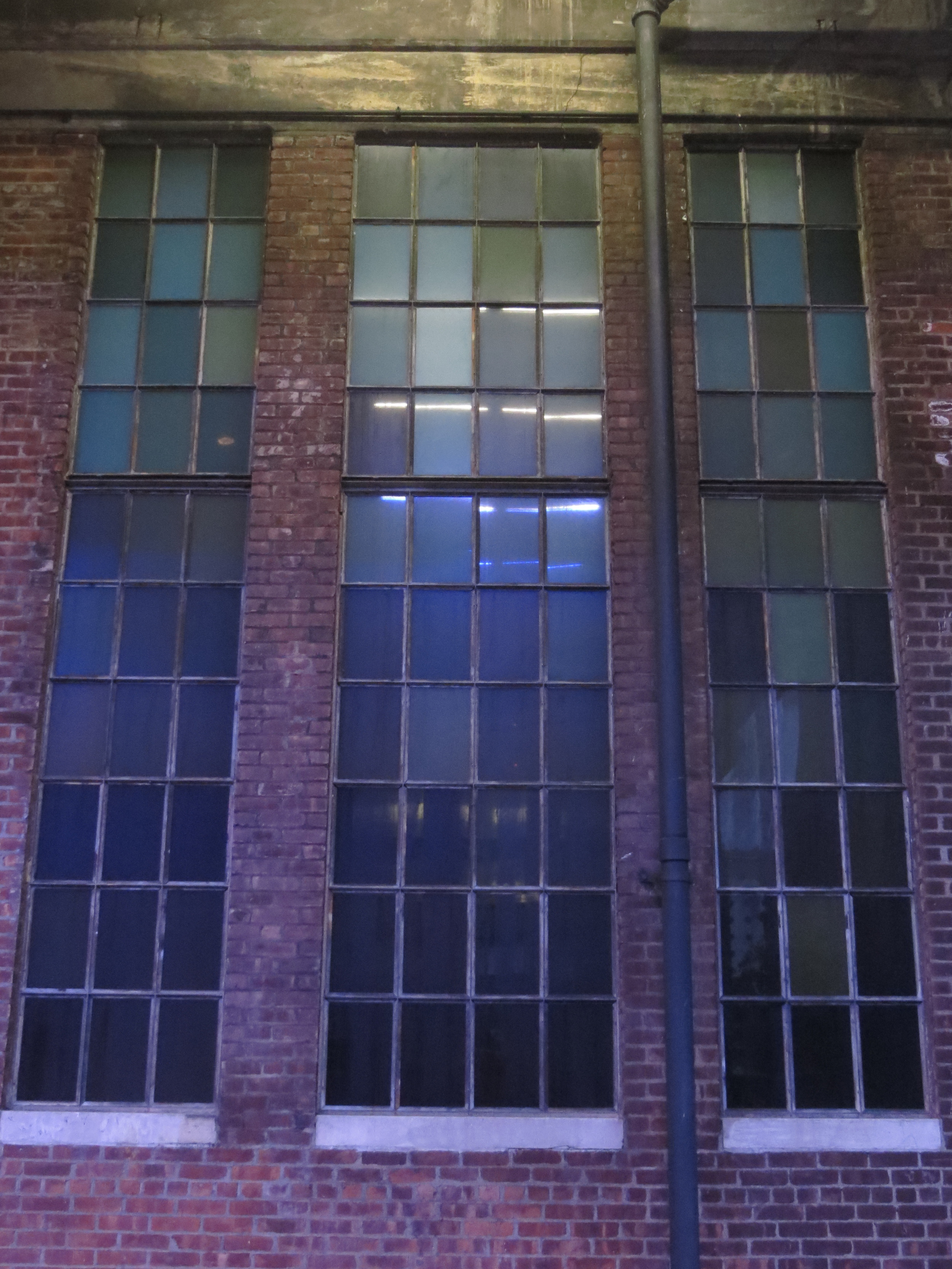
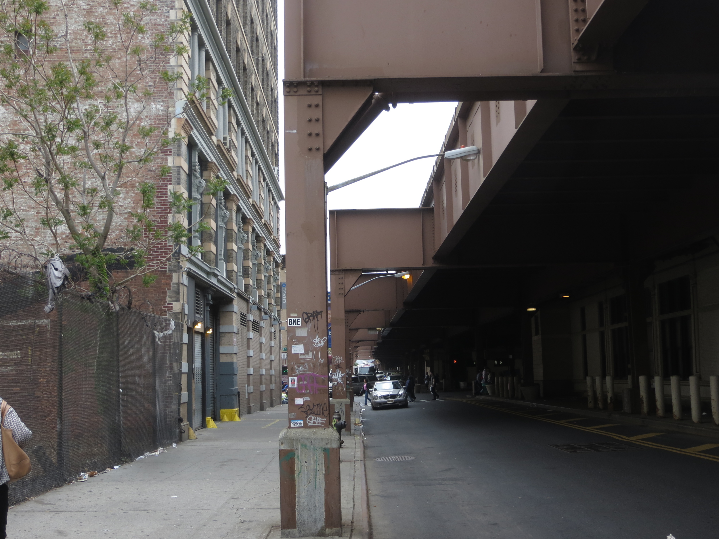
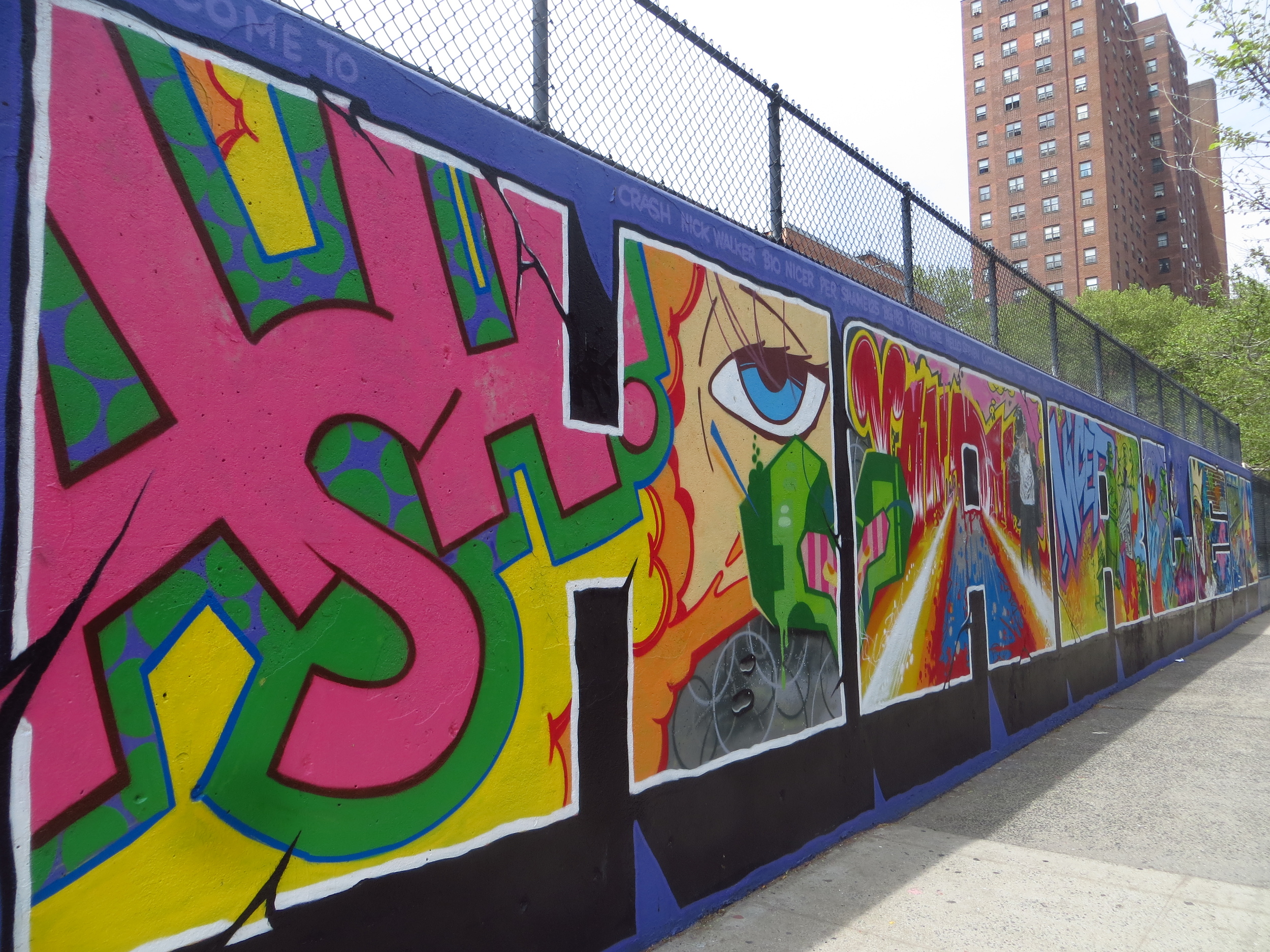
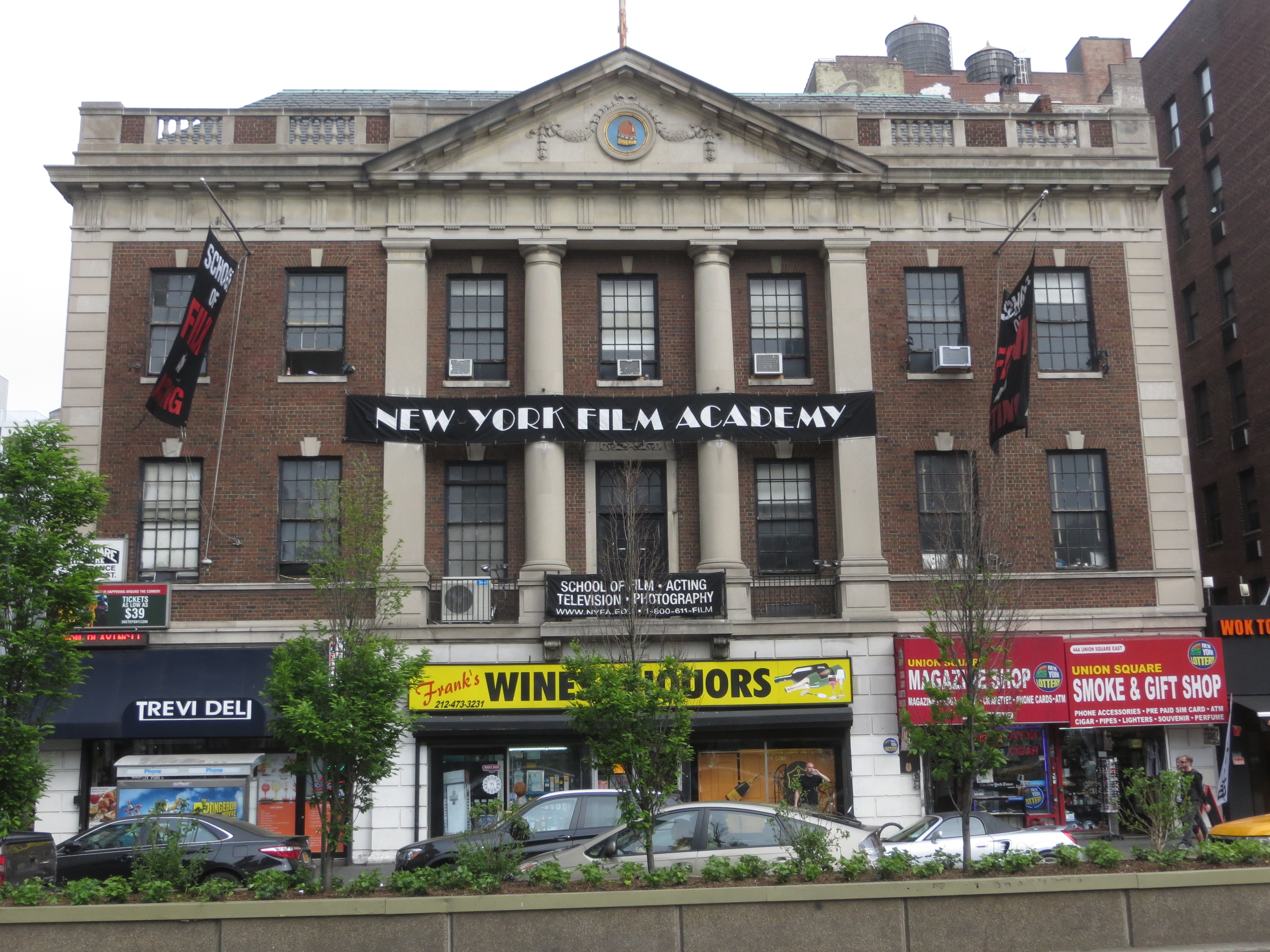
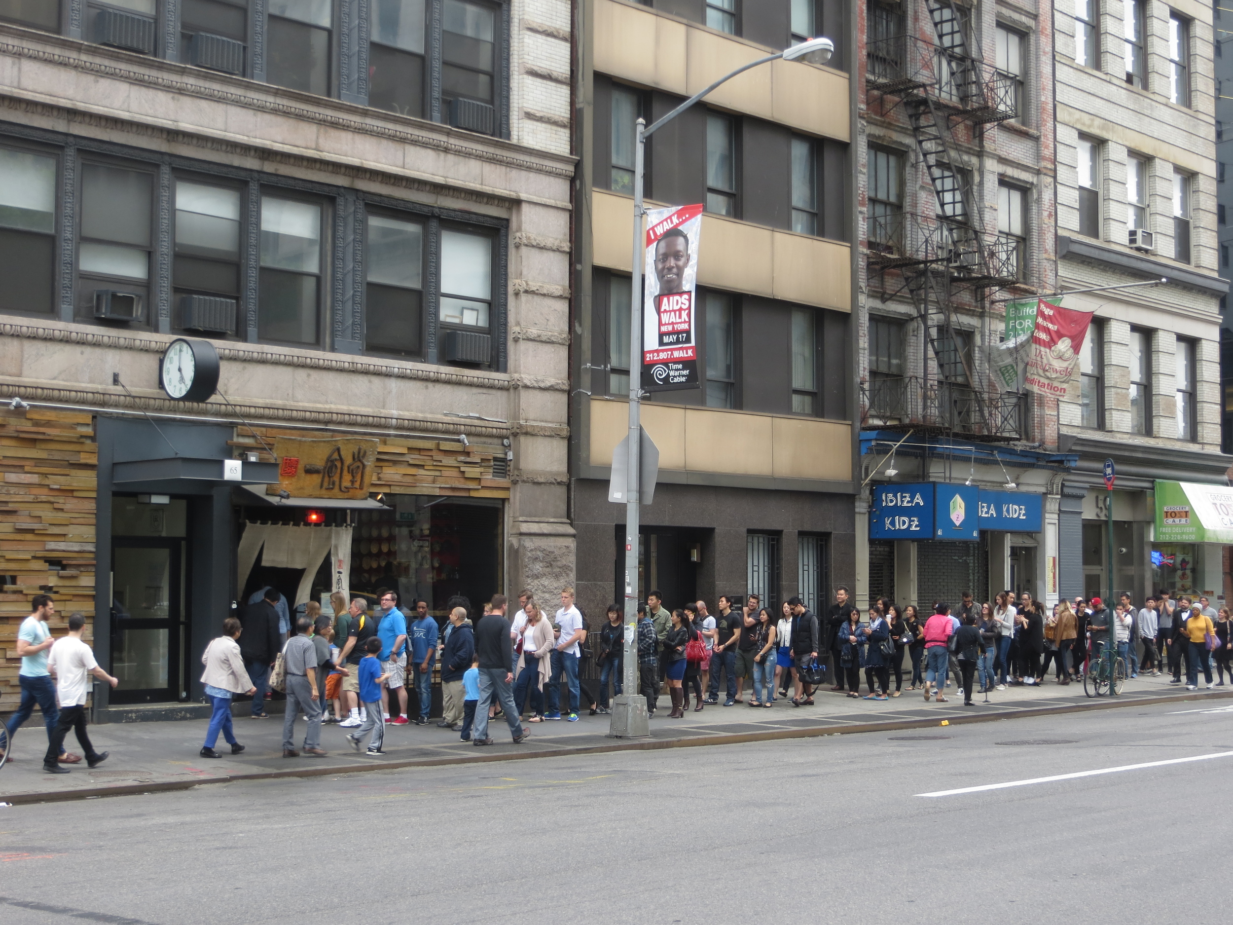
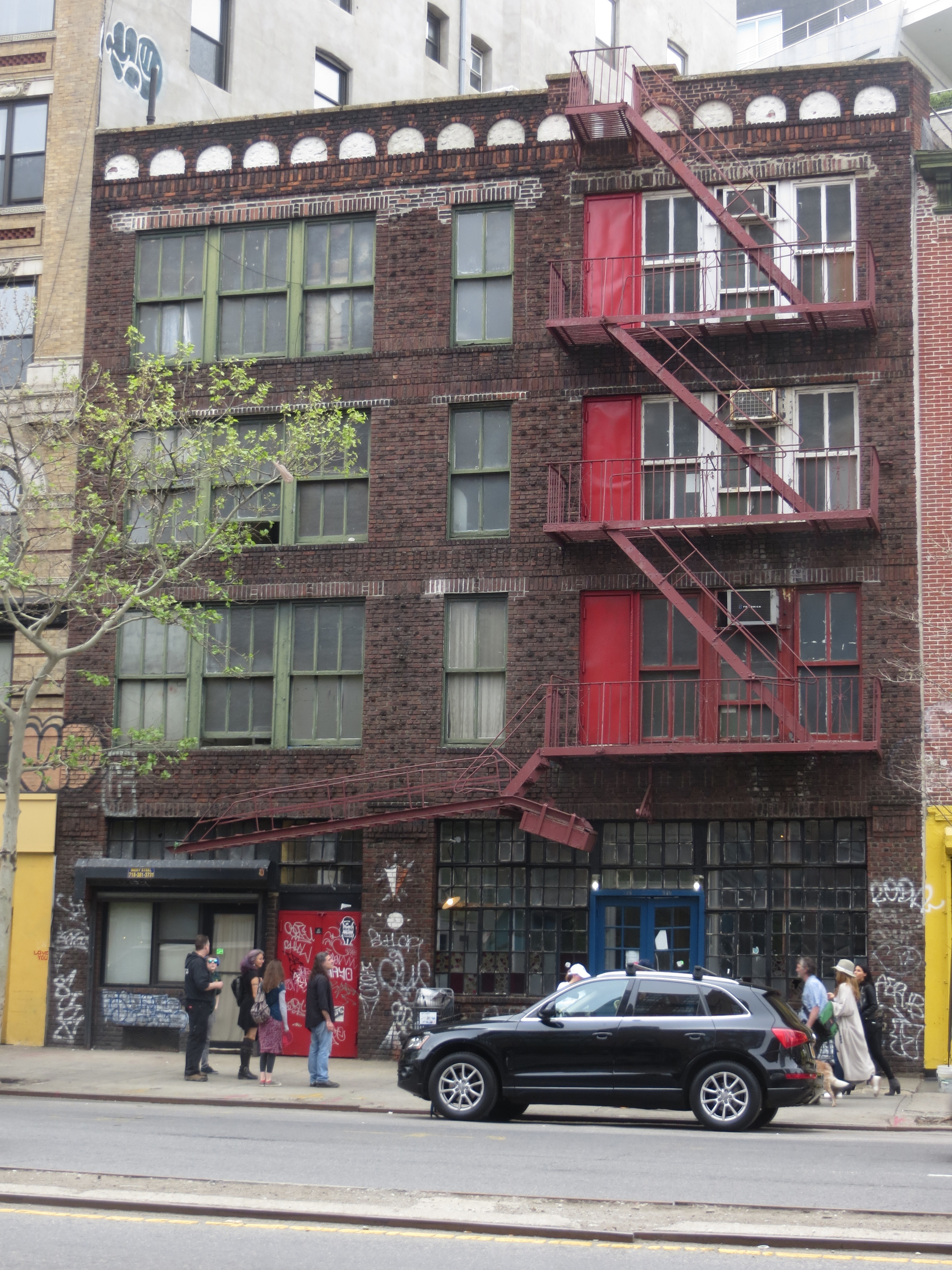
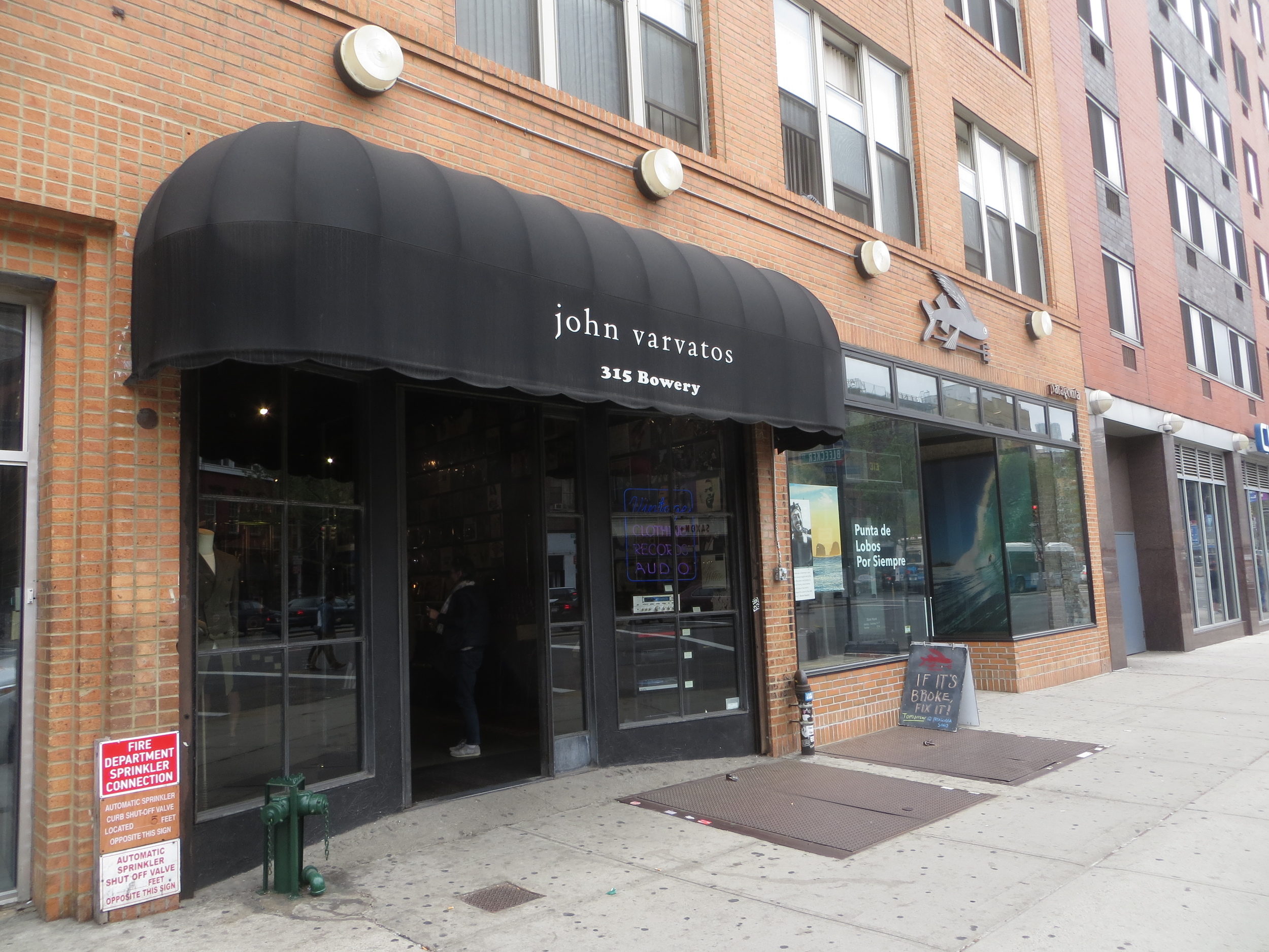
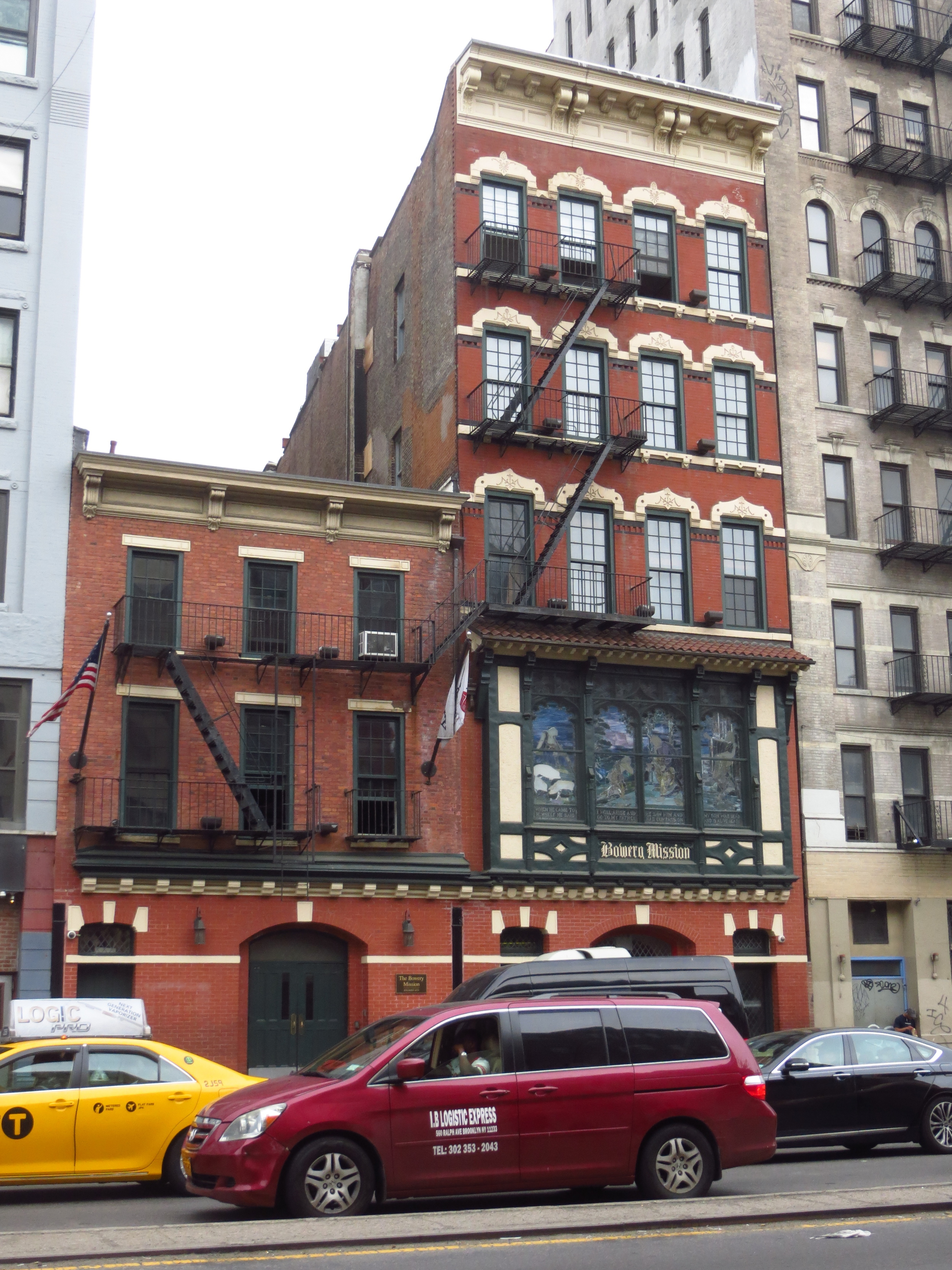
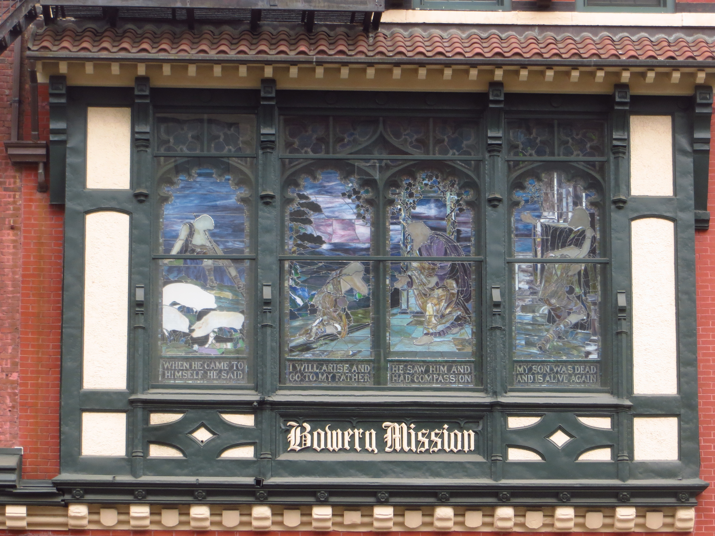
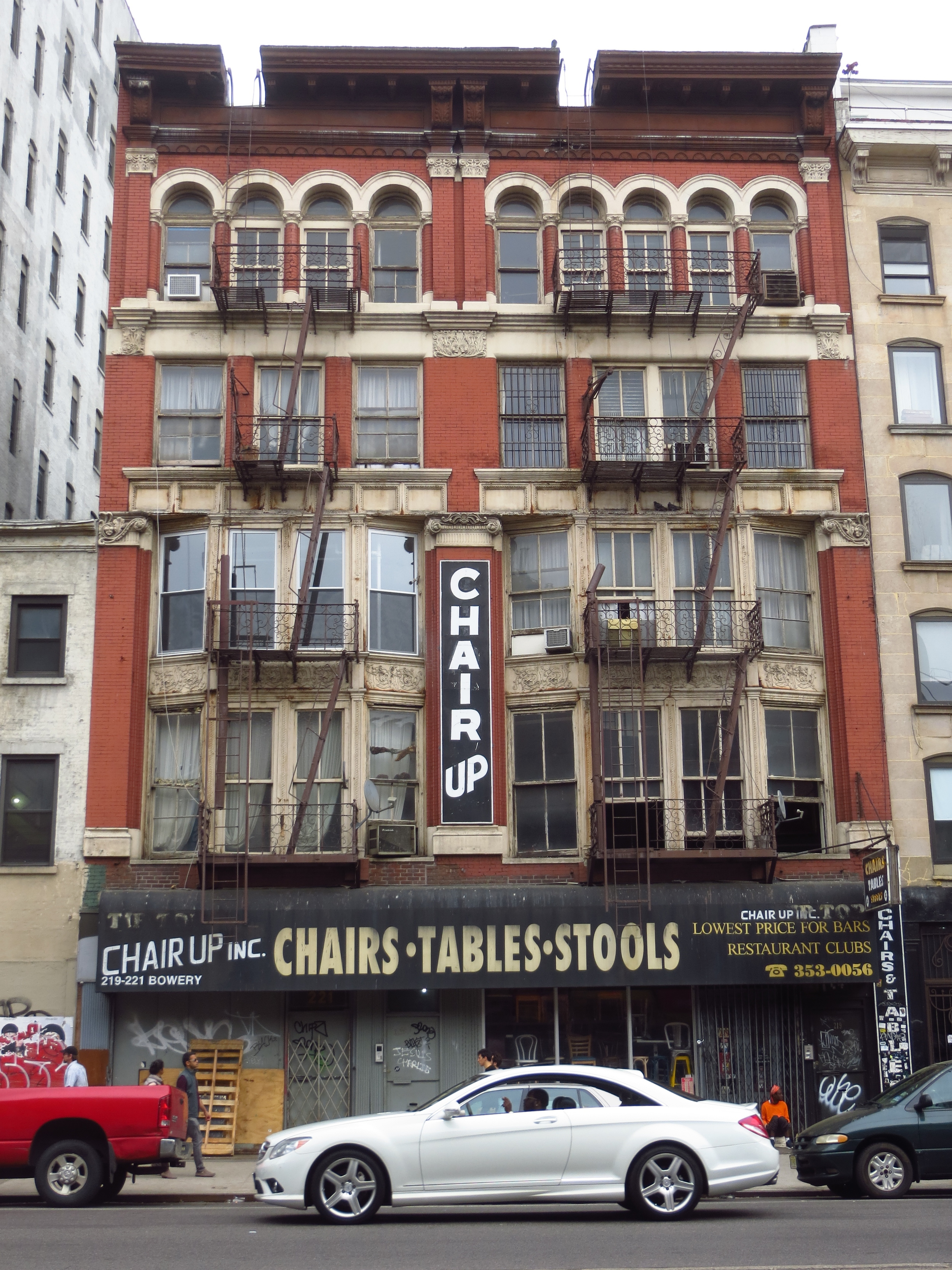
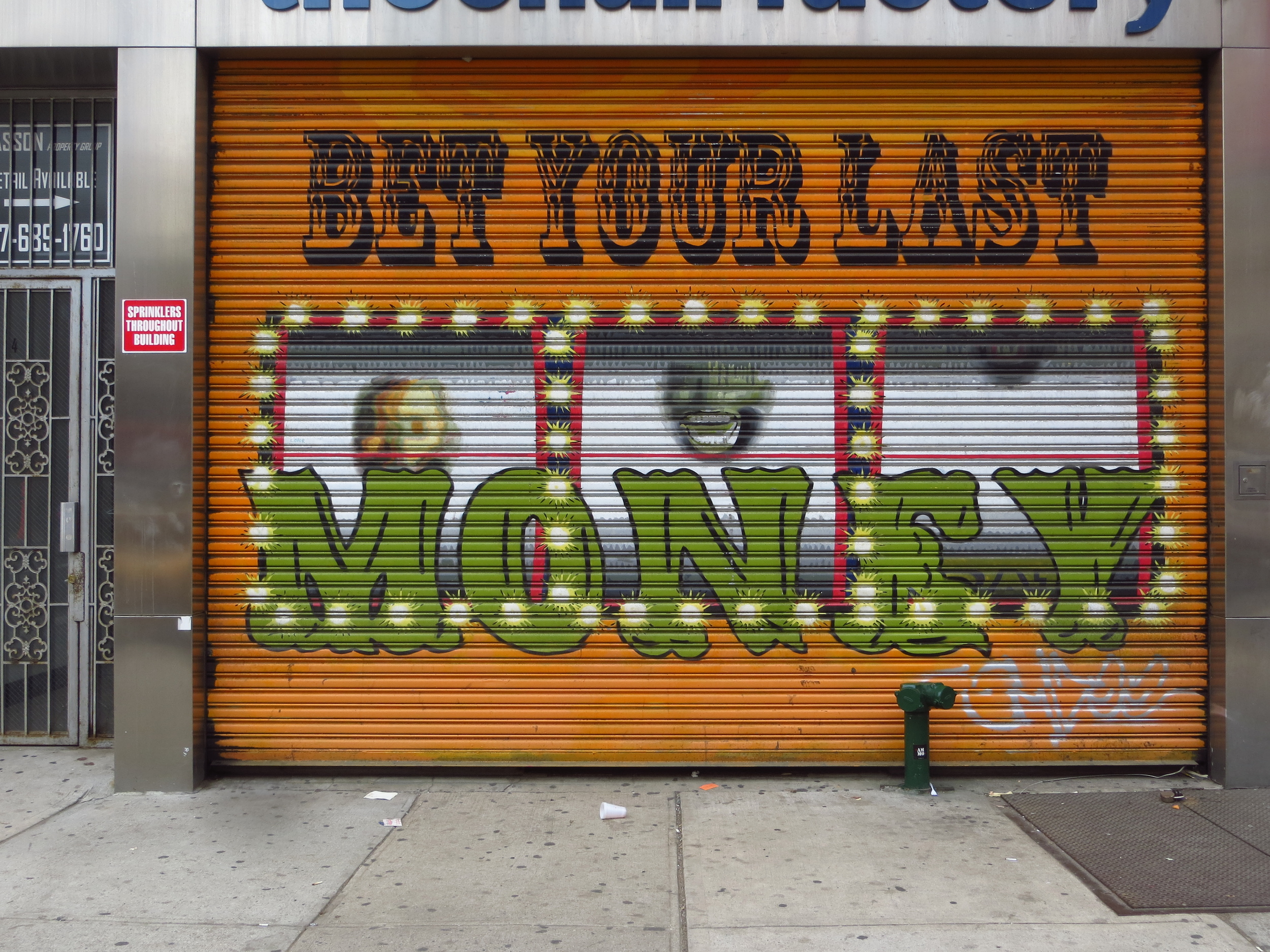
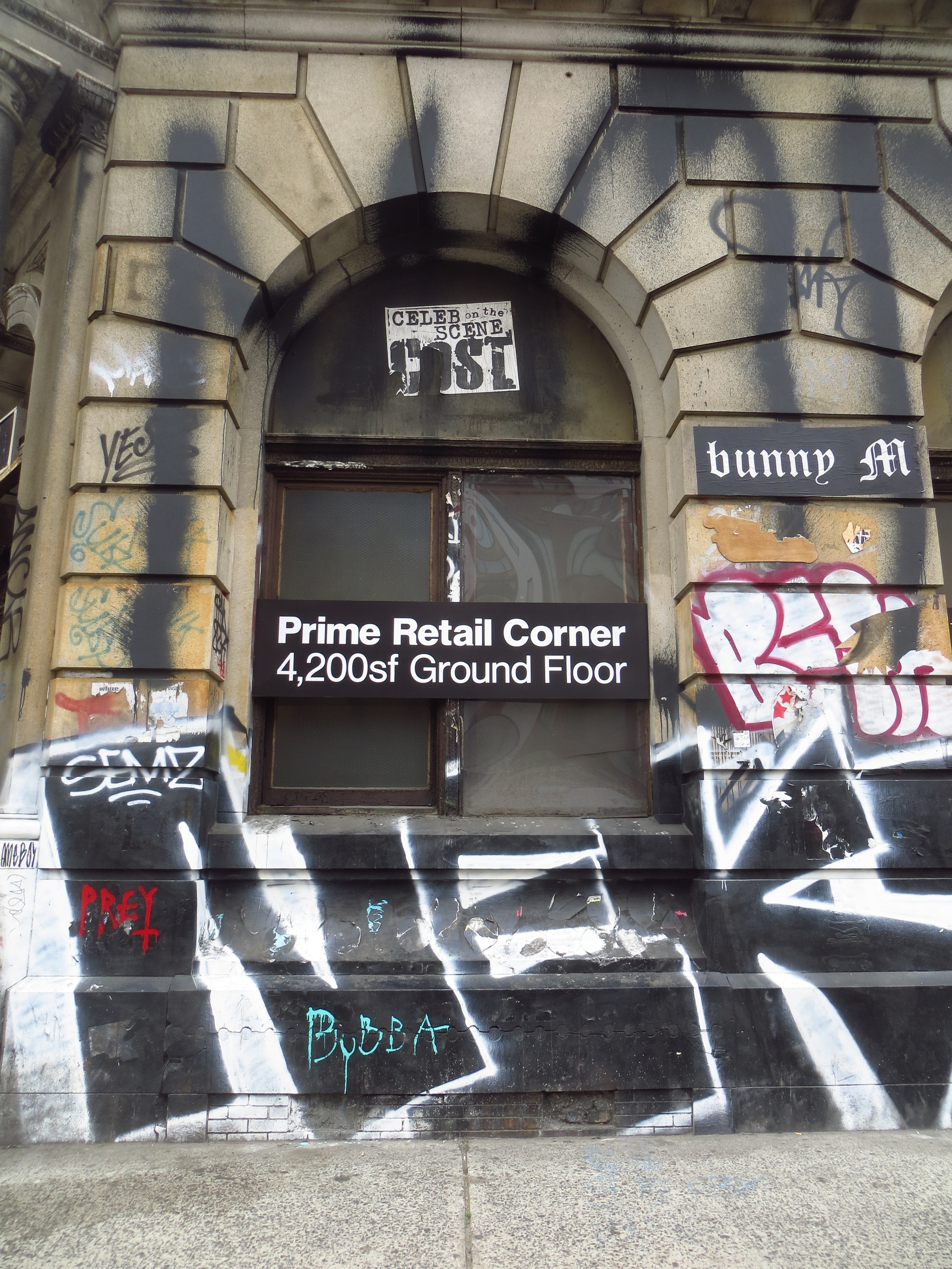
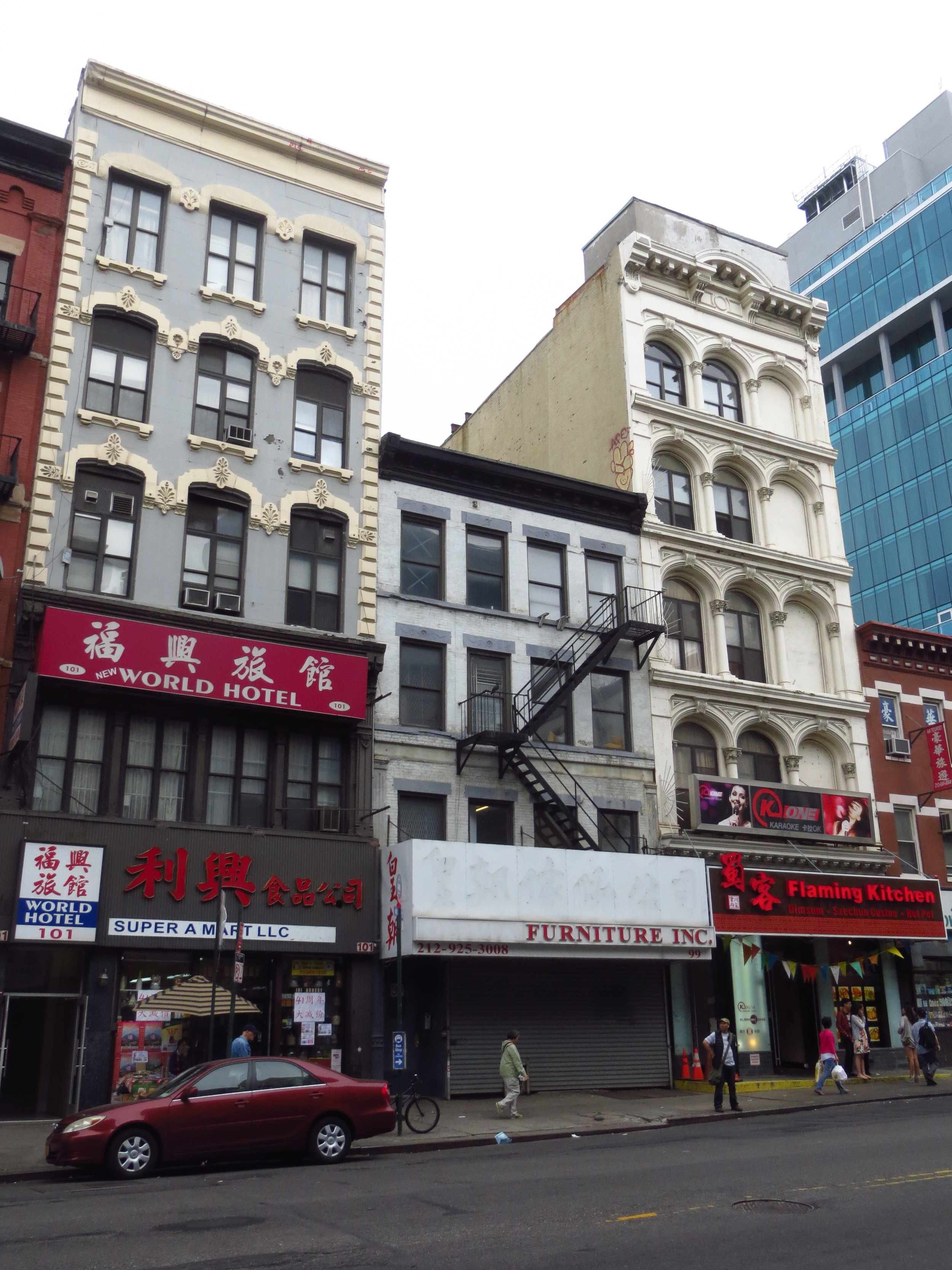
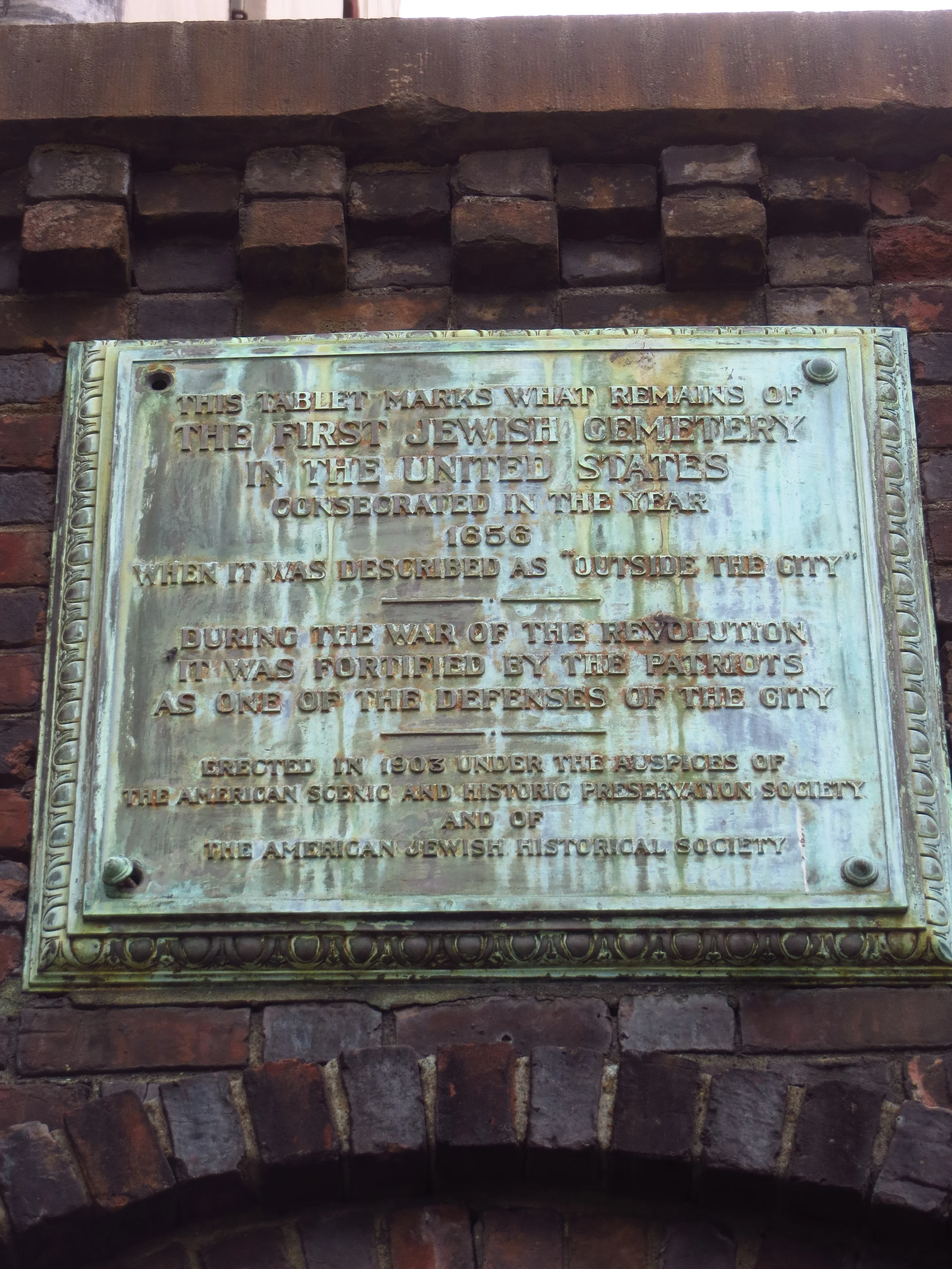
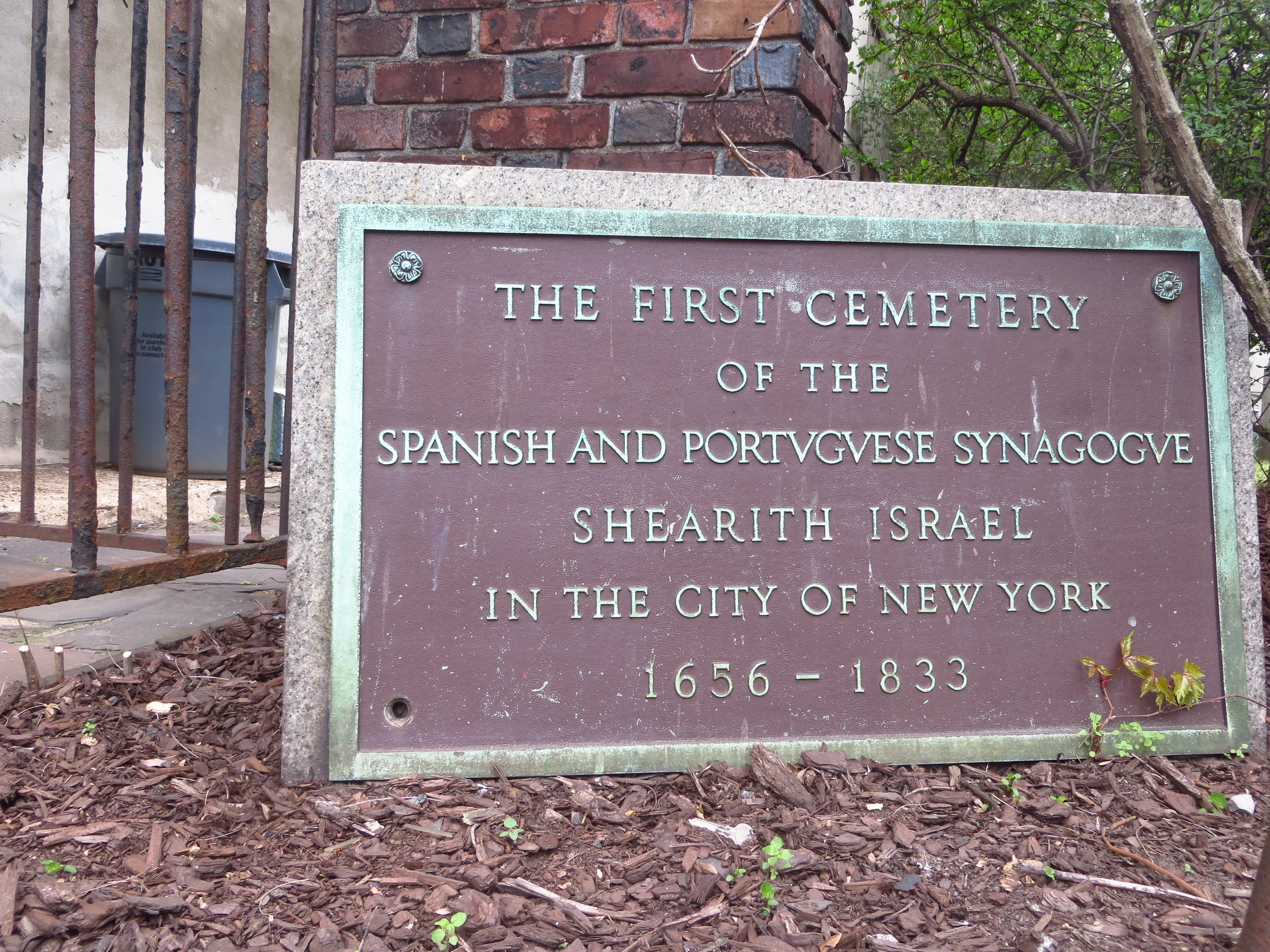
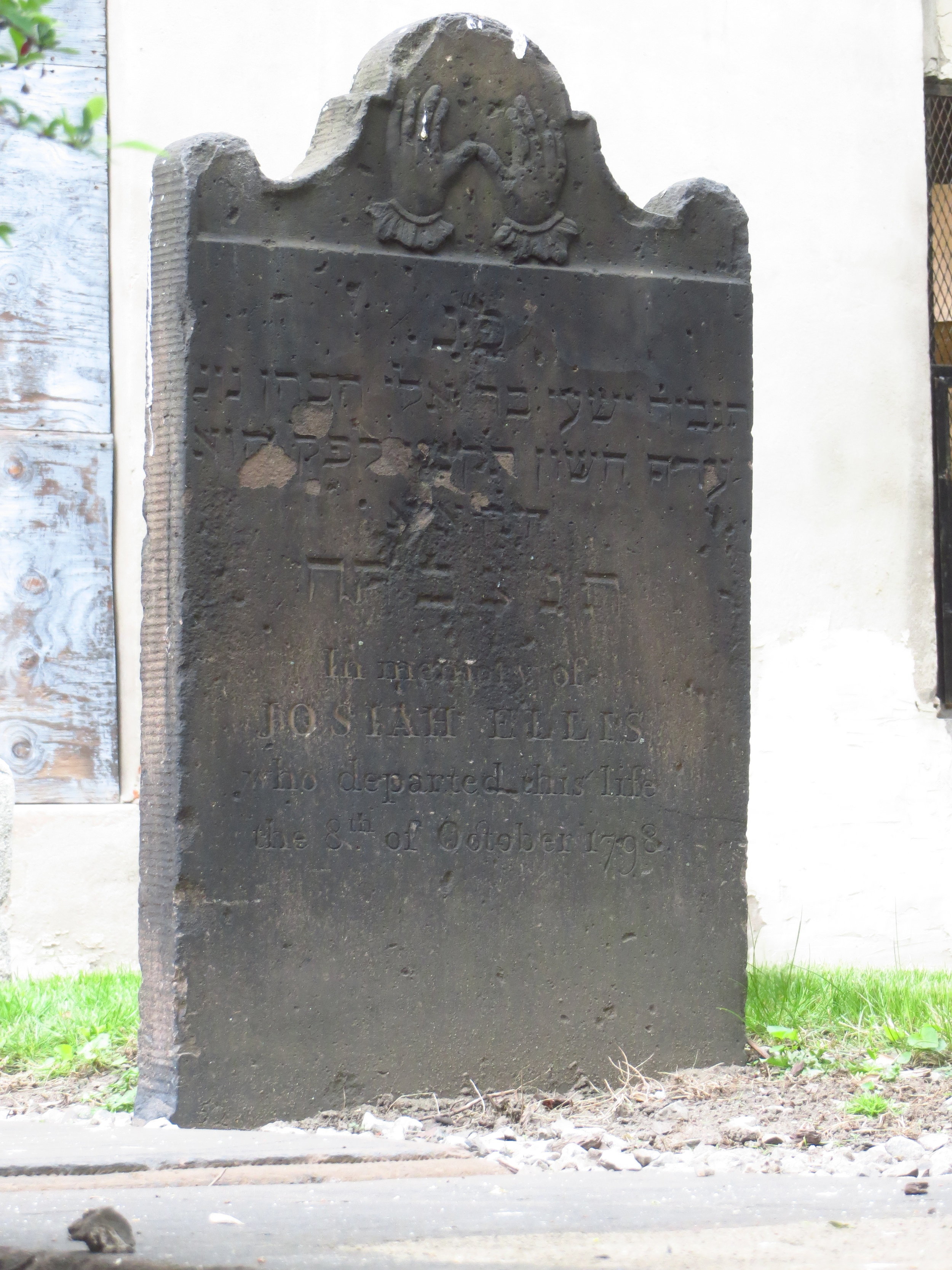
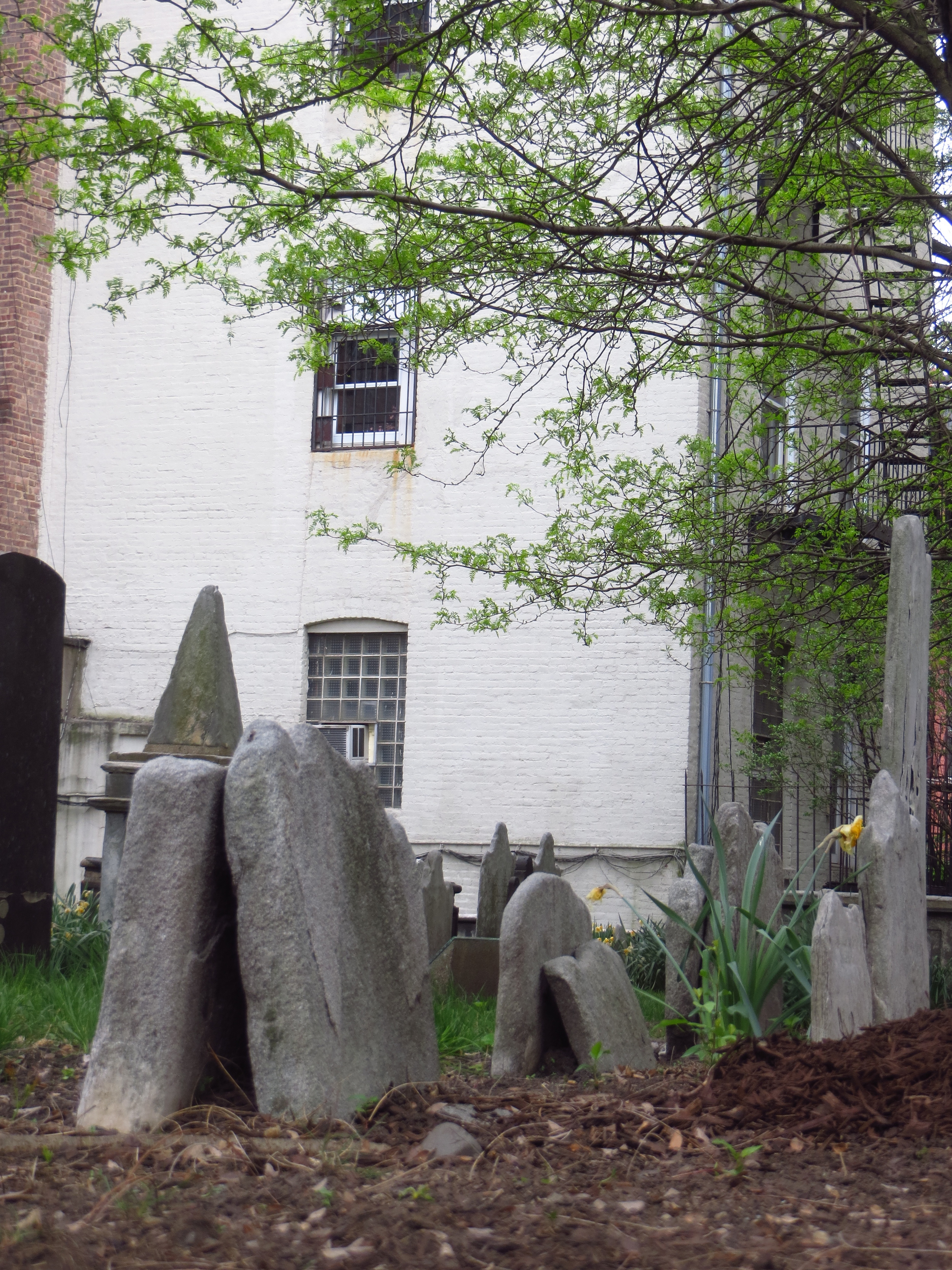
From a famously wealthy neighborhood on the UES, Park Avenue becomes Bowery below 4th St., and transitions into a famously poor neighborhood. Bowery (not Bowery St. or Bowery Ave., just Bowery) is one of the oldest roads in Manhattan; in the 1600's it led to several several small farms (which the Dutch called "bouwerijs"), including the one owned by Peter Stuyvesant. The street and its eponymous neighborhood enjoyed a period of respectability as the city limits moved north in the early 1800's - for a while a Bowery address was on a par to a 5th Avenue address. However, by the middle of the century the neighborhood was best known for its brothels, beer halls and flop houses, and the street marked the eastern boundary of the Five Points slum. The Bowery maintained its skid row reputation well into the mid to late 1900's and was famously home to the punk rock venue CBGB (which ironically stood for Country, Bluegrass and Blues). The old Bowery died in 2006 when CBGB closed and was replaced by a John Varvatos store.
After this (and a small clean-up on the east side) there's only one walk left!


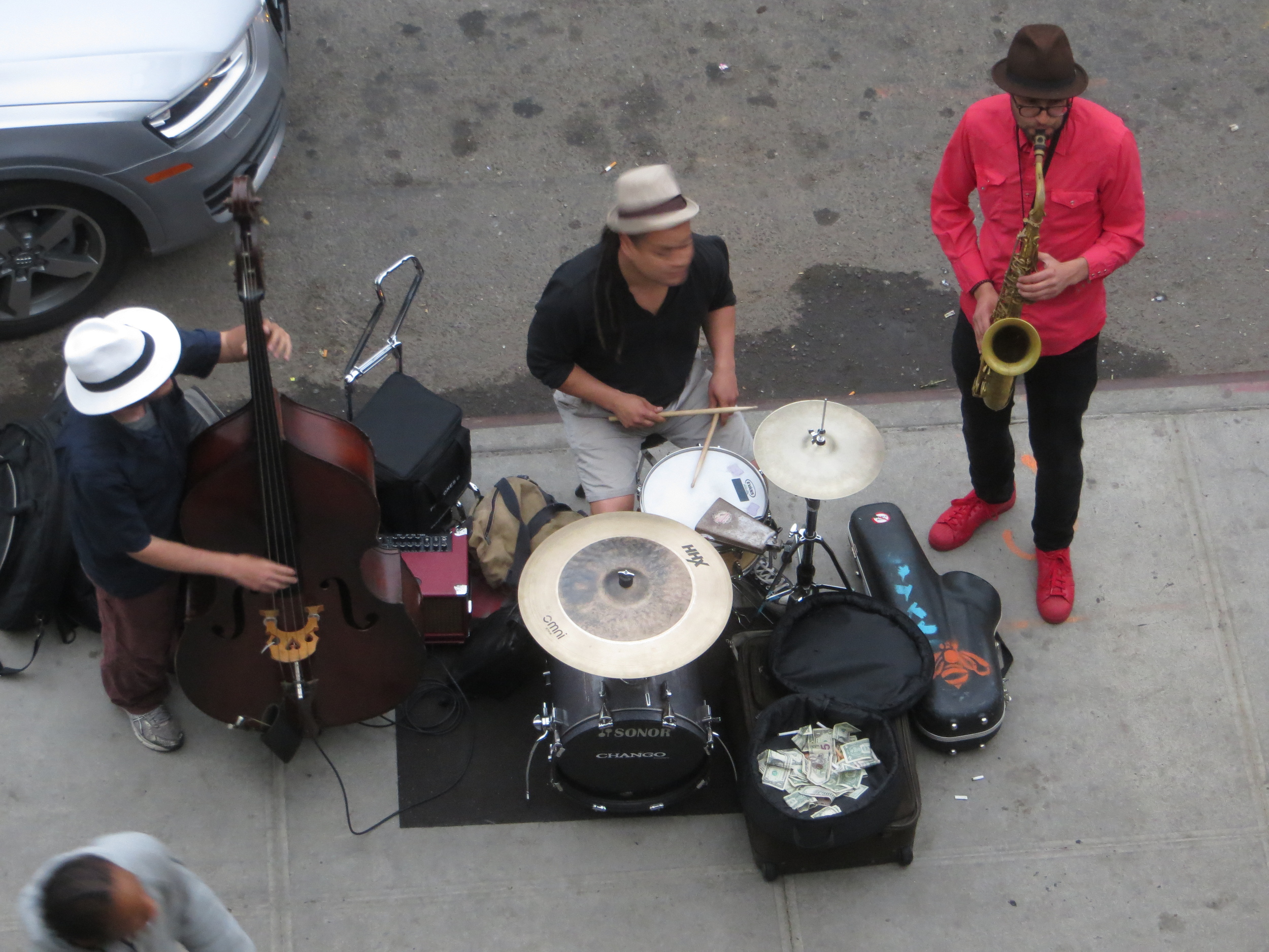
The Highline
(Bonus Material!)
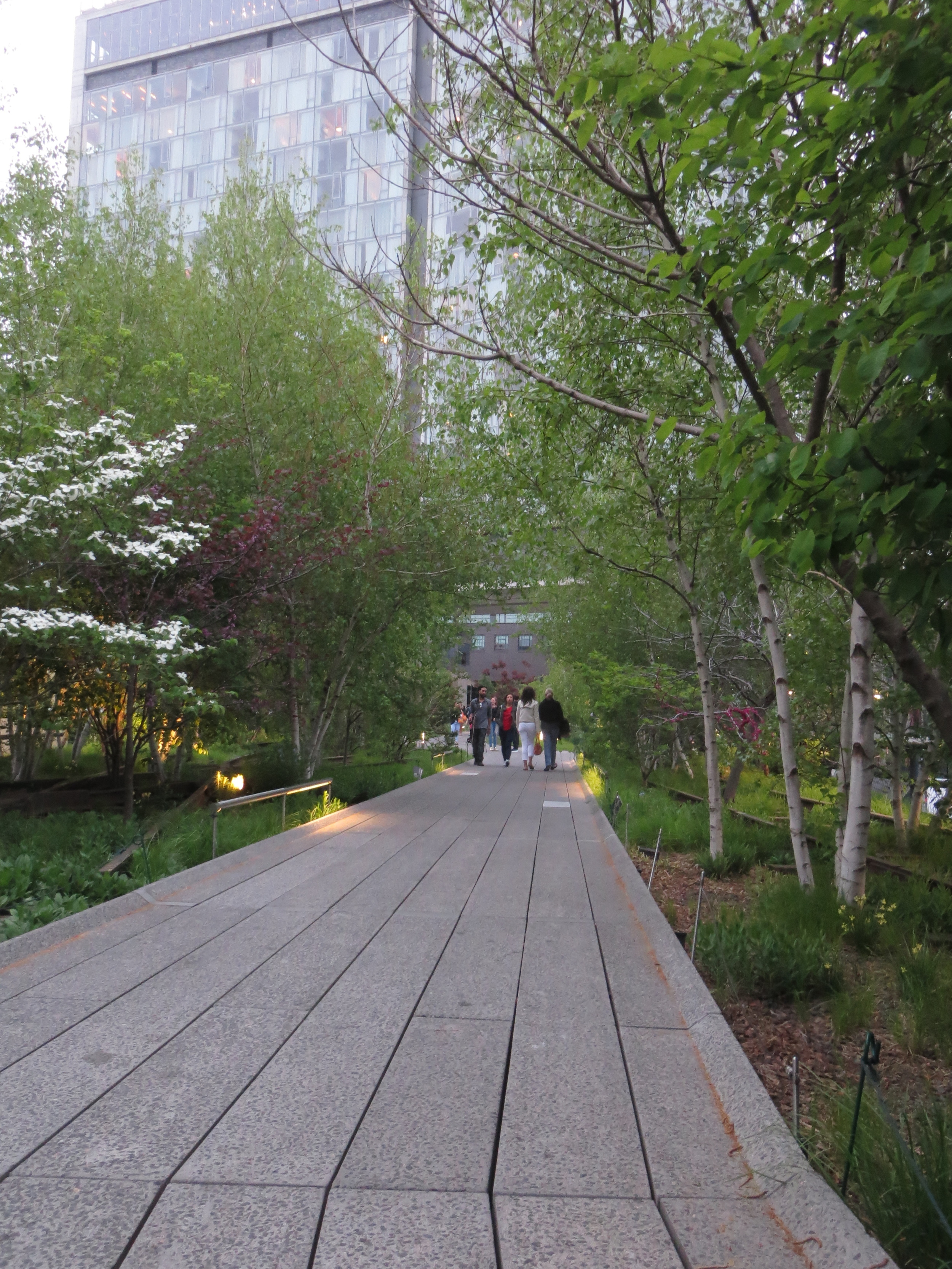
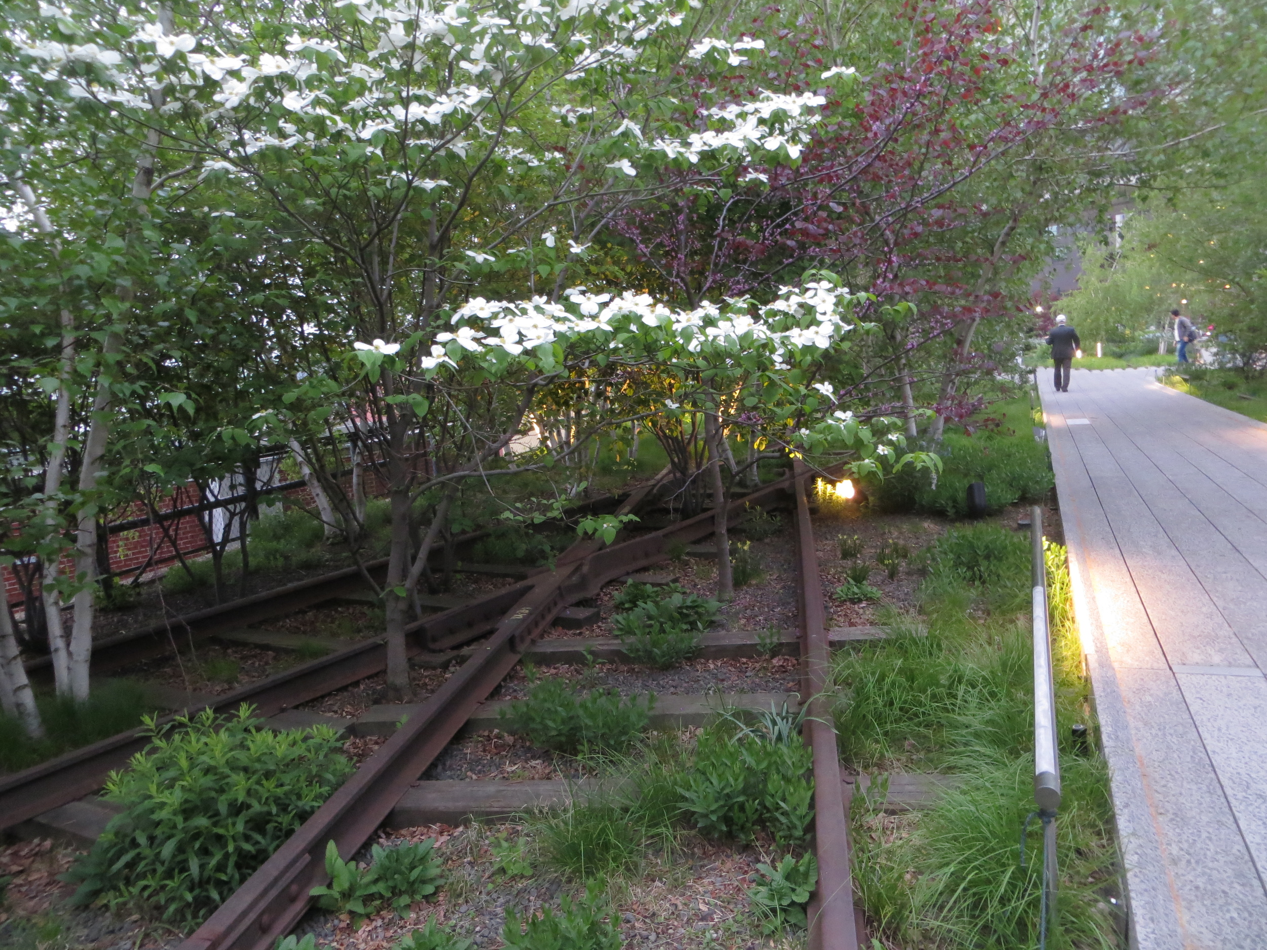
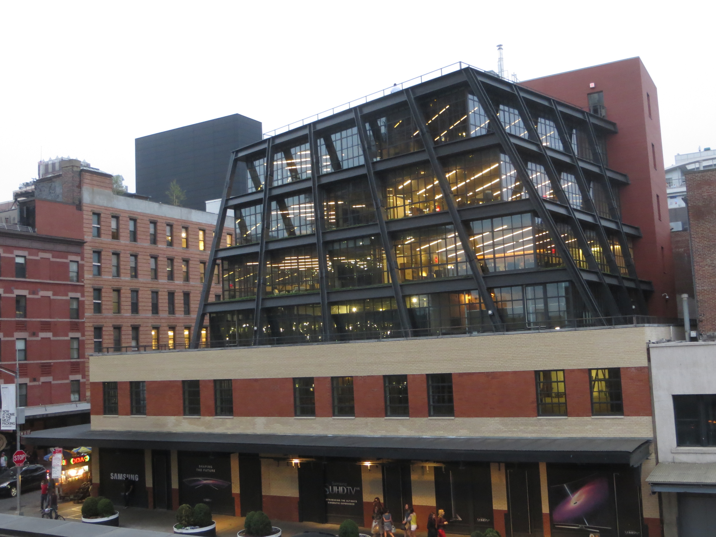
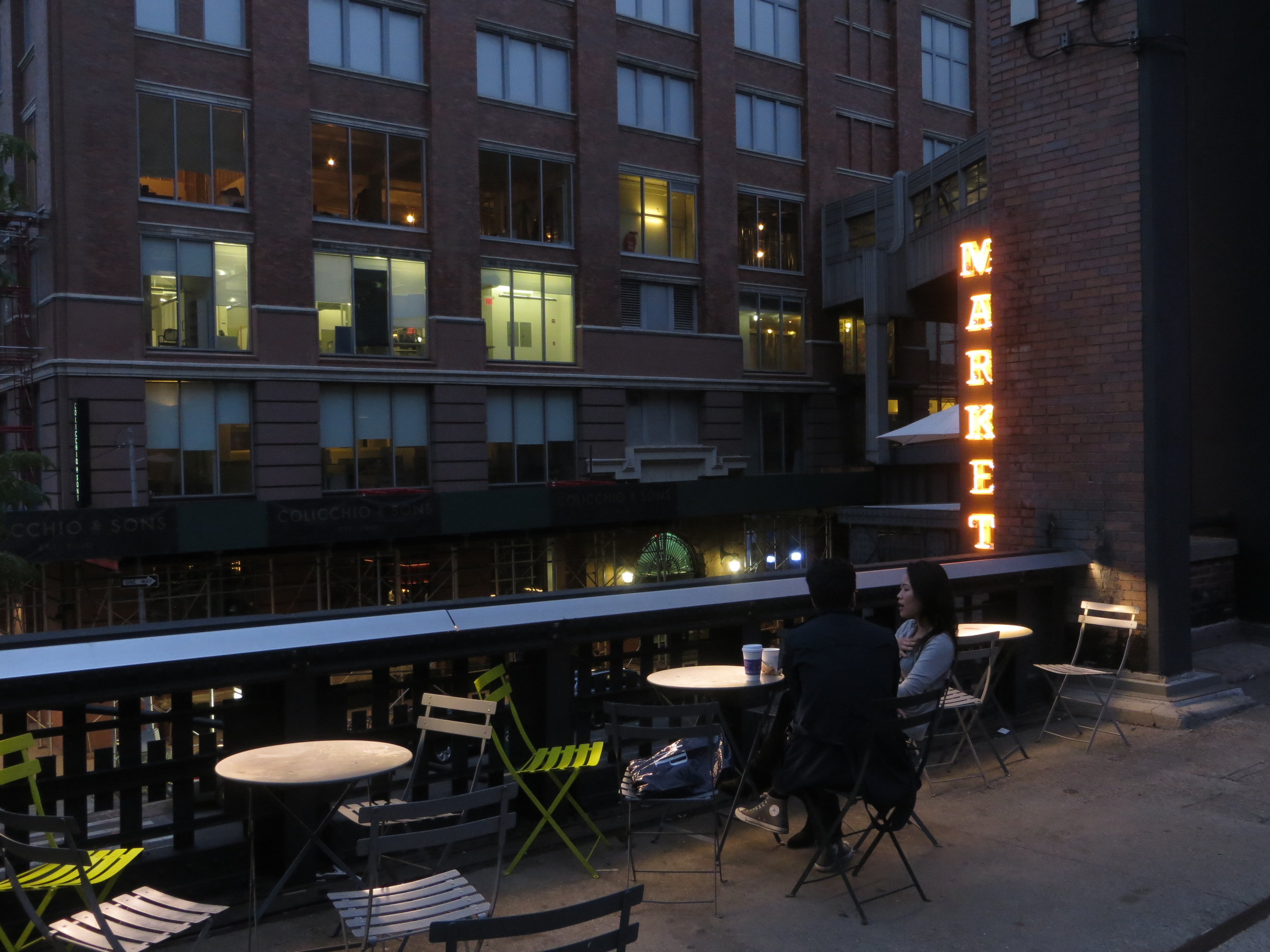
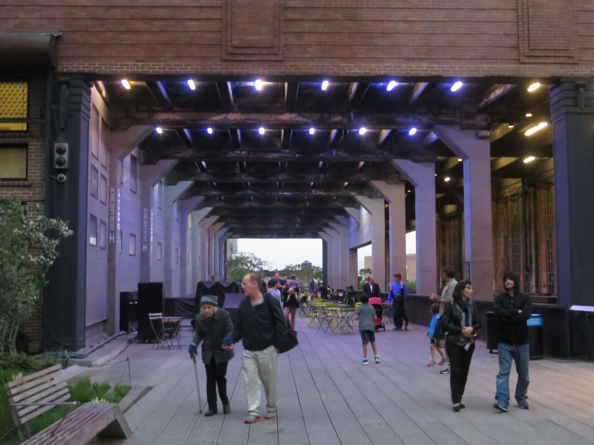
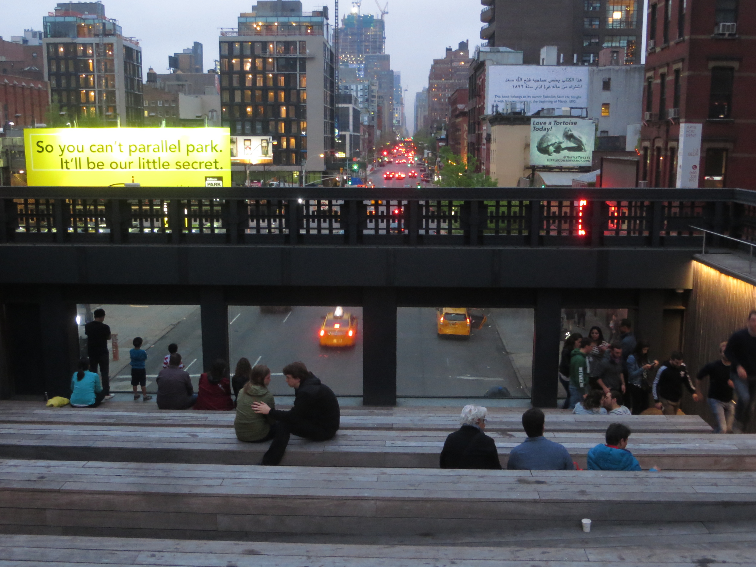
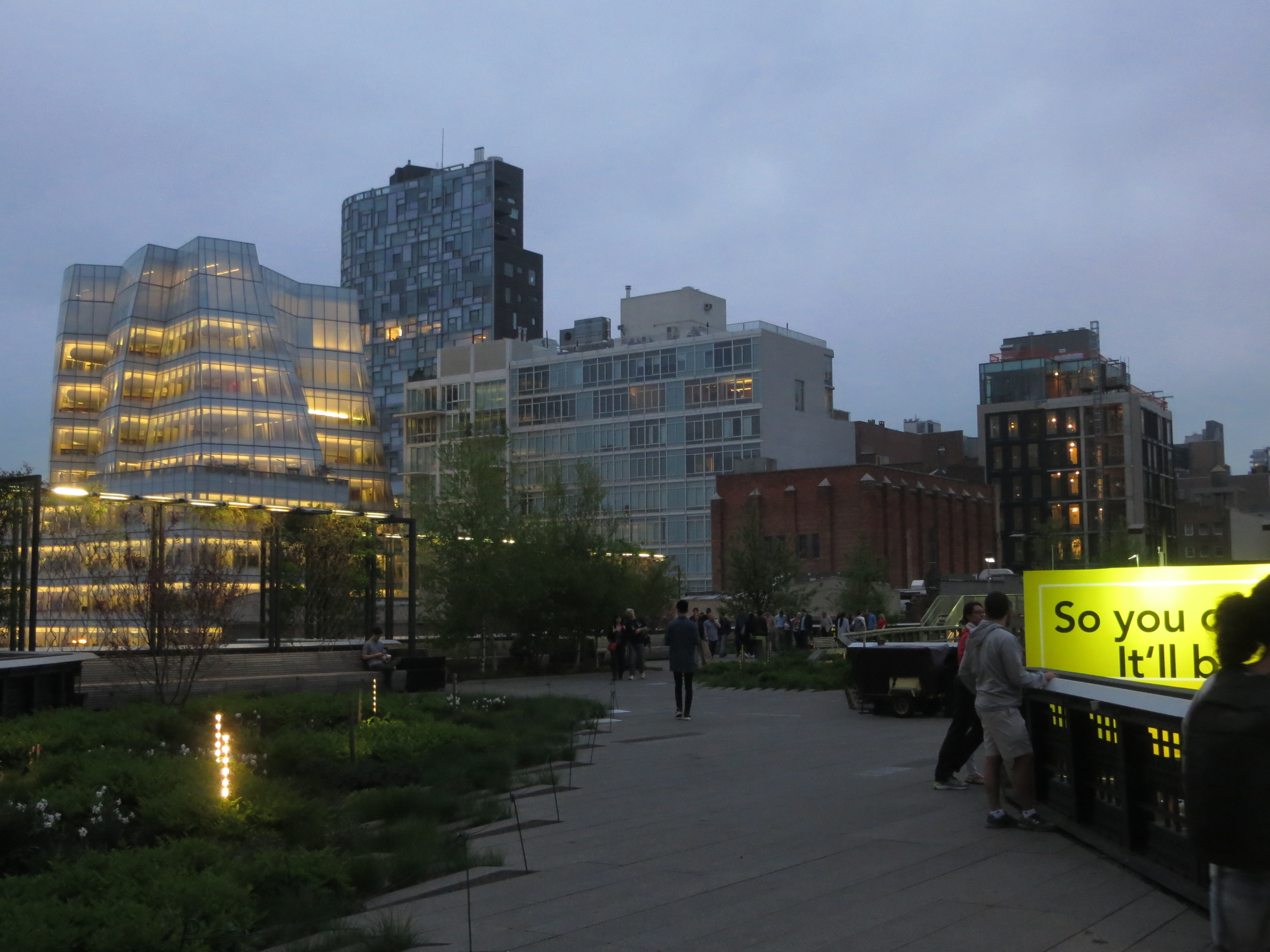
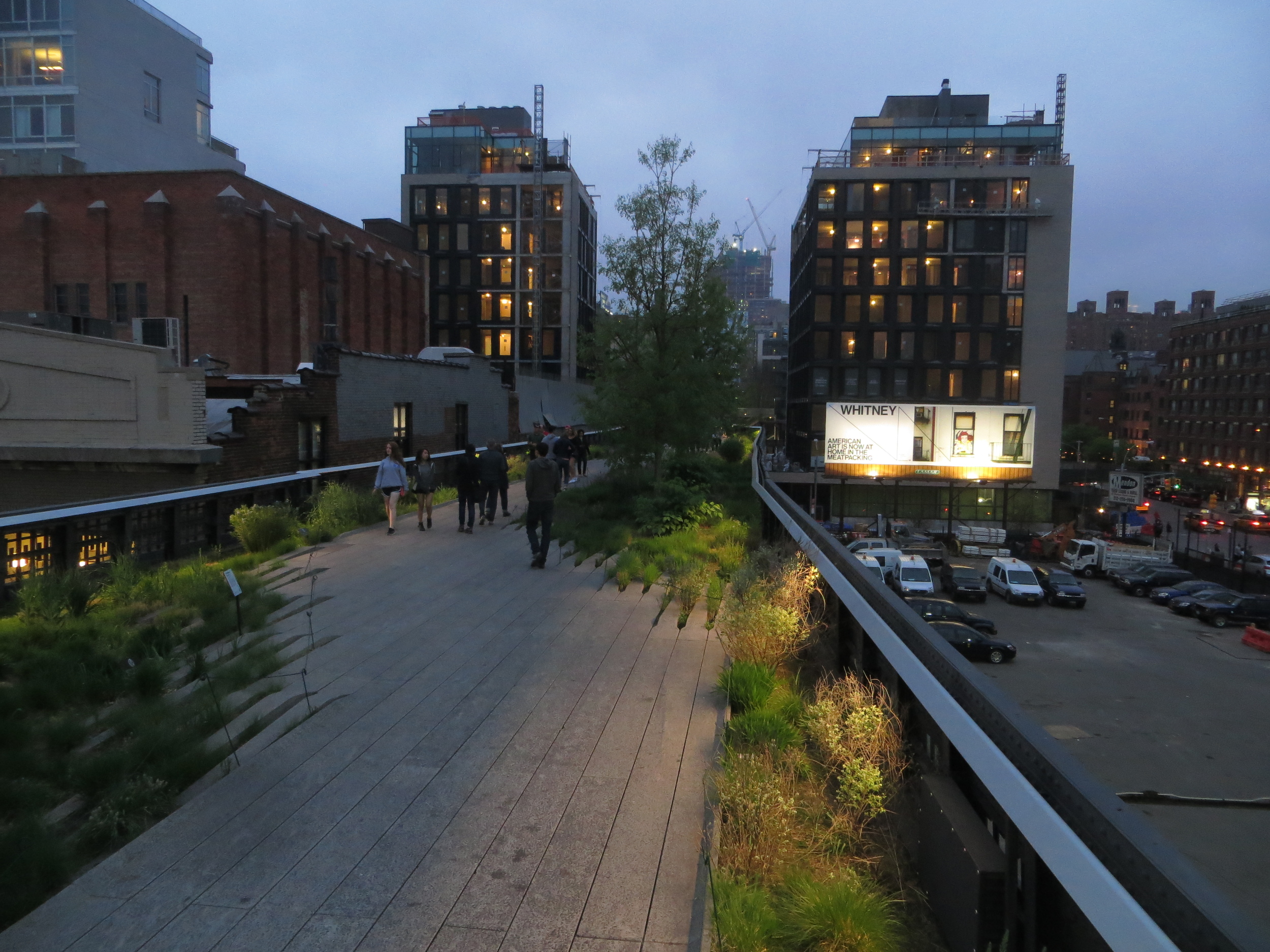
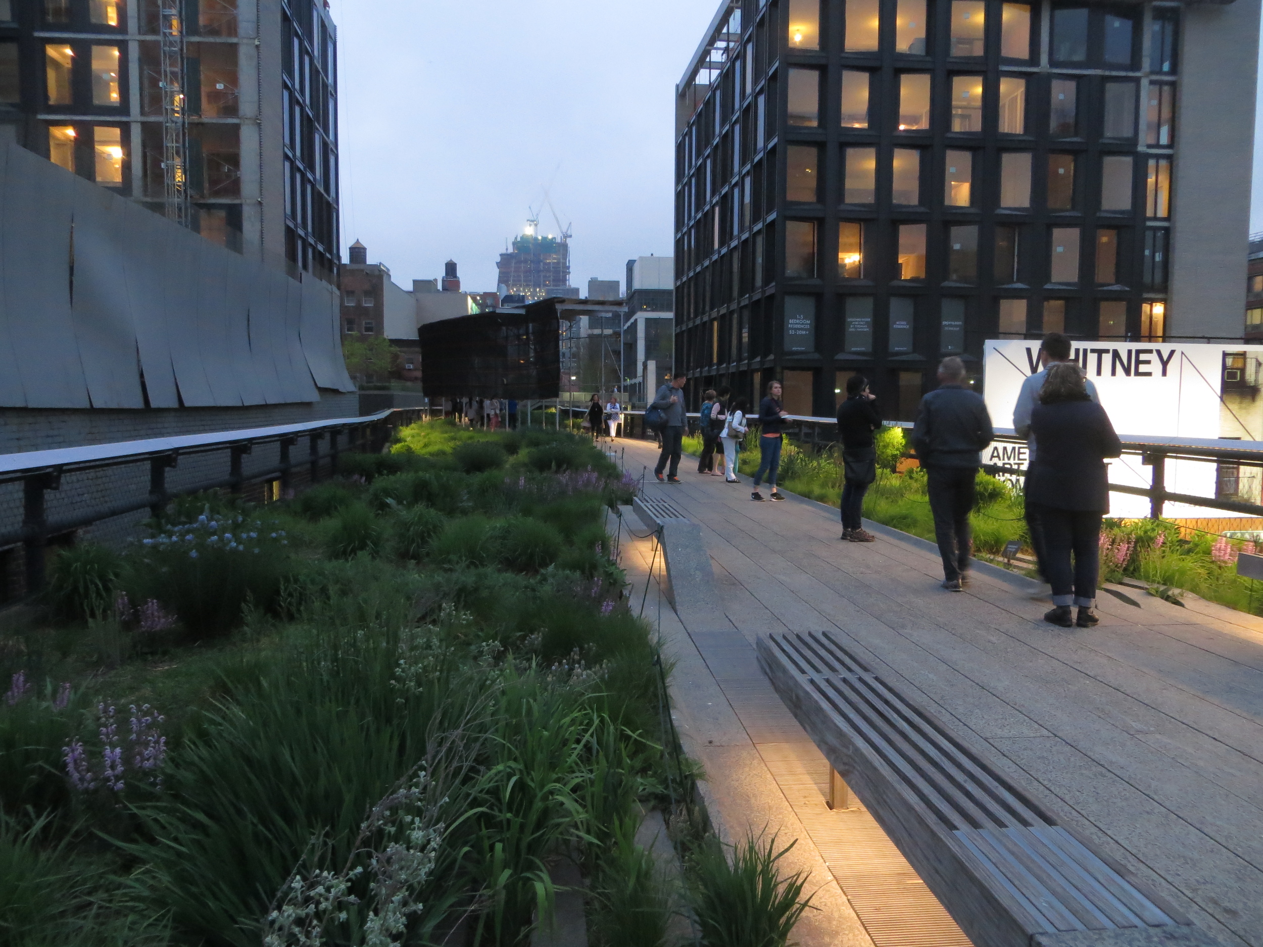
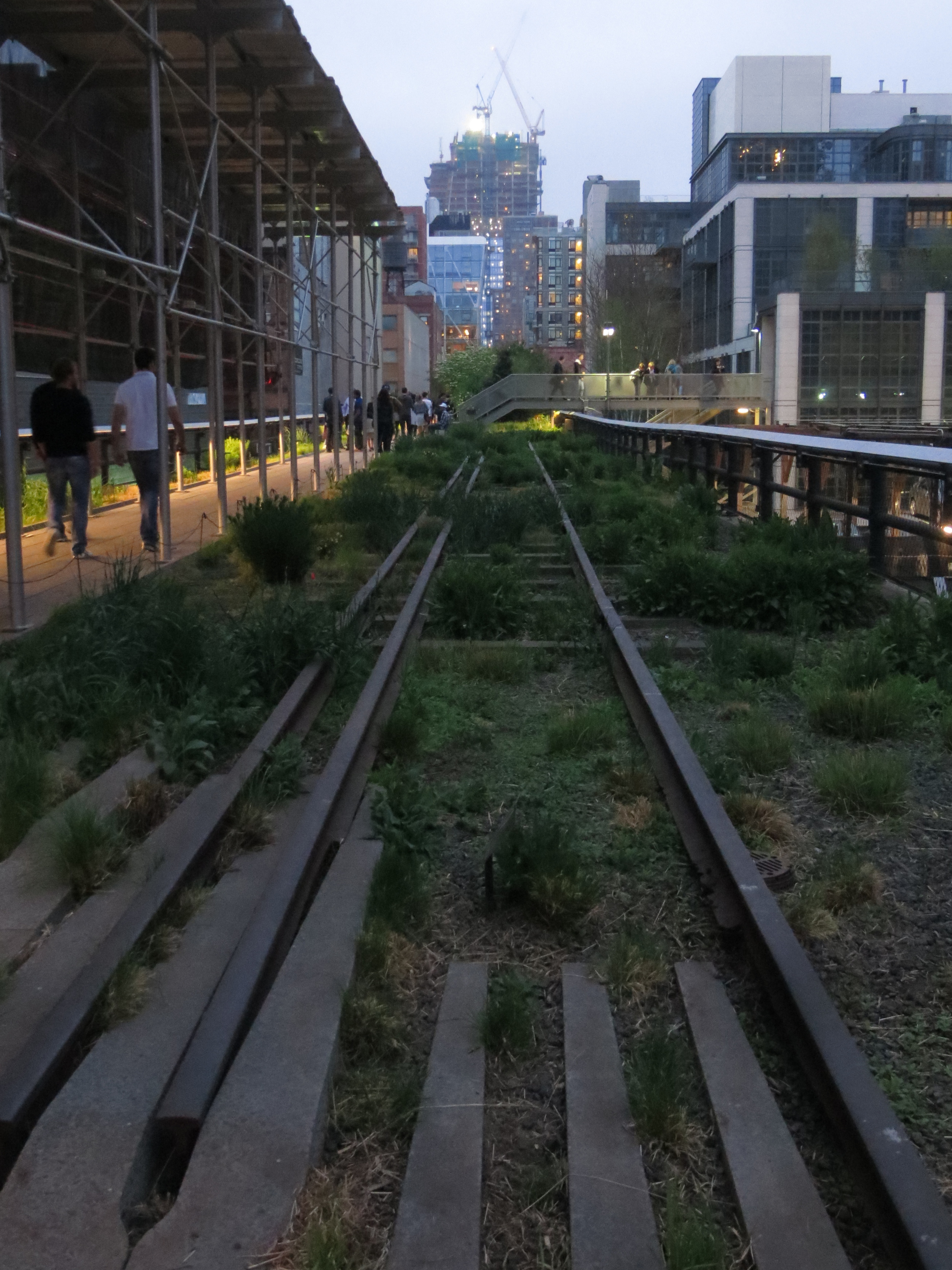
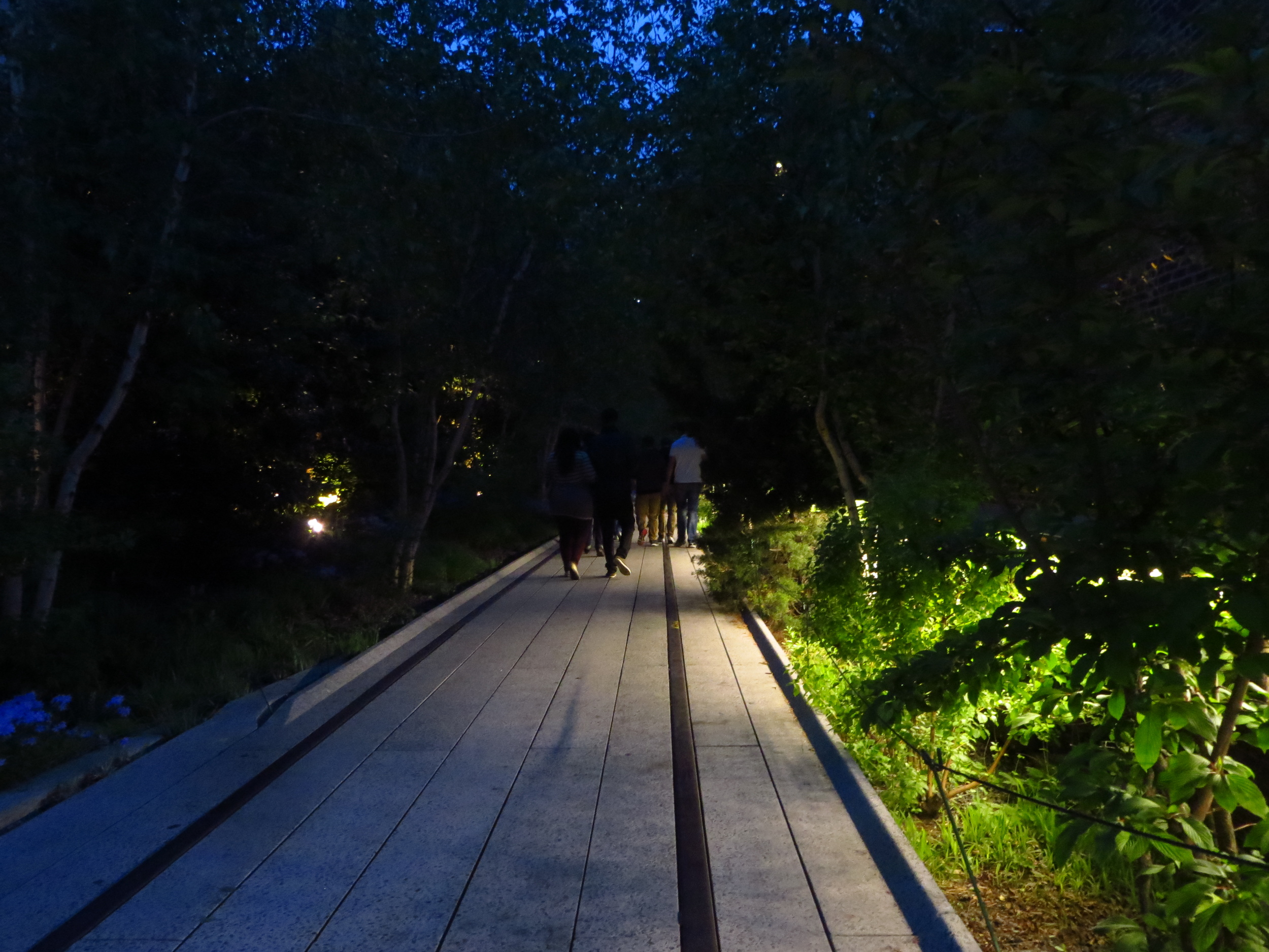
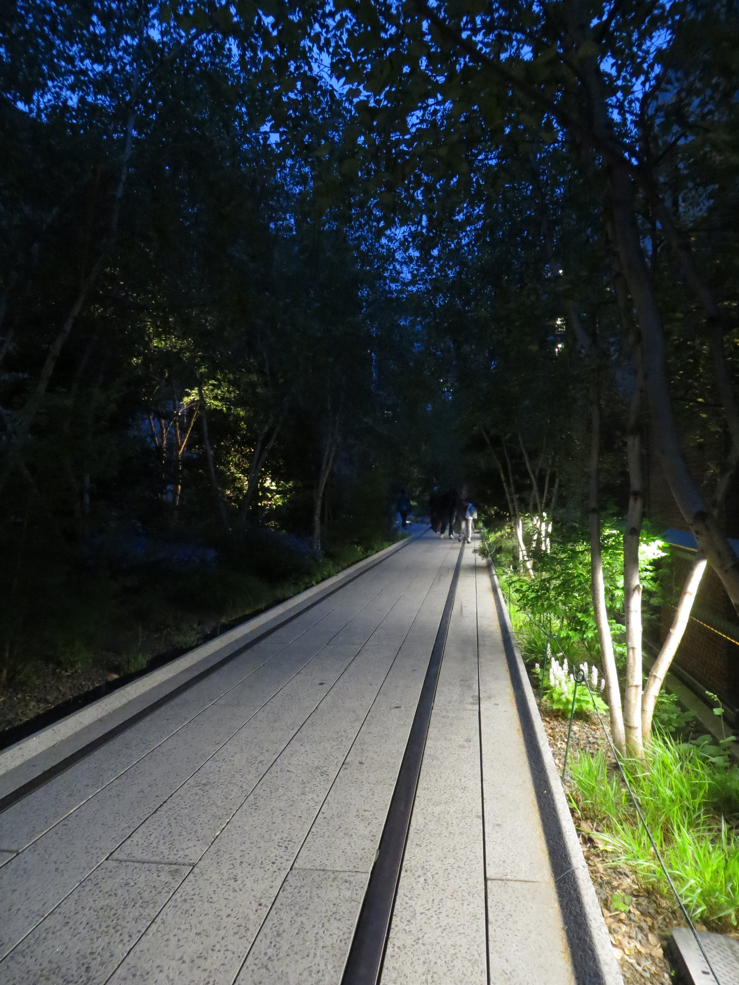
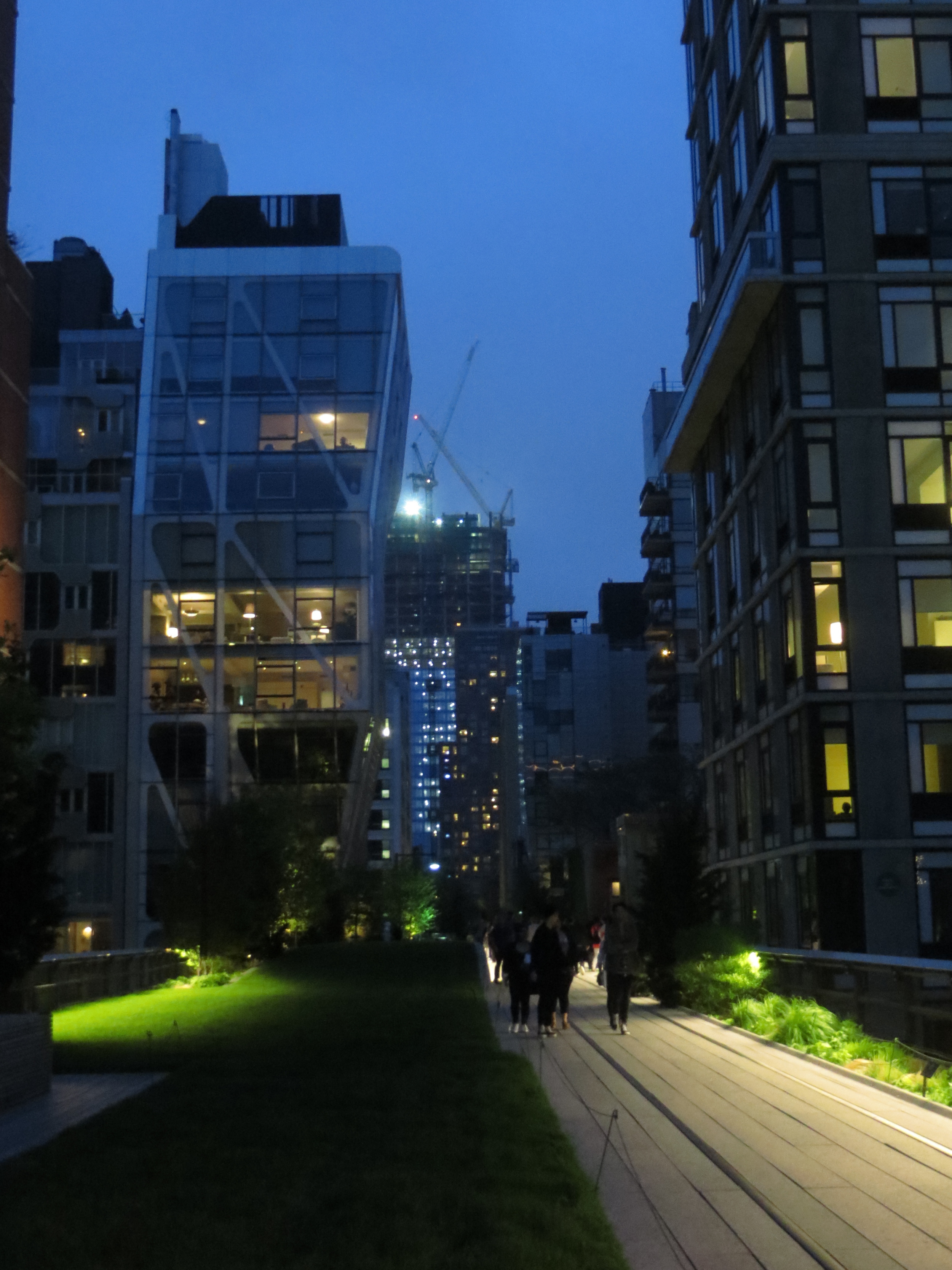
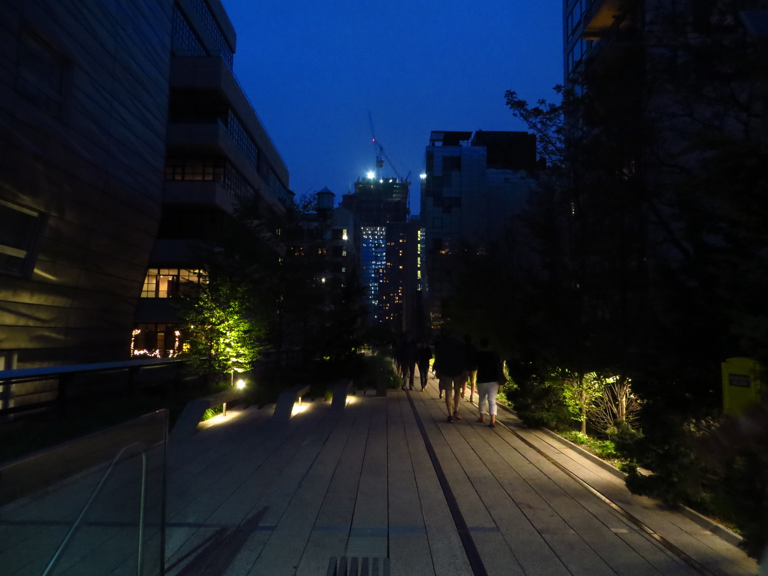
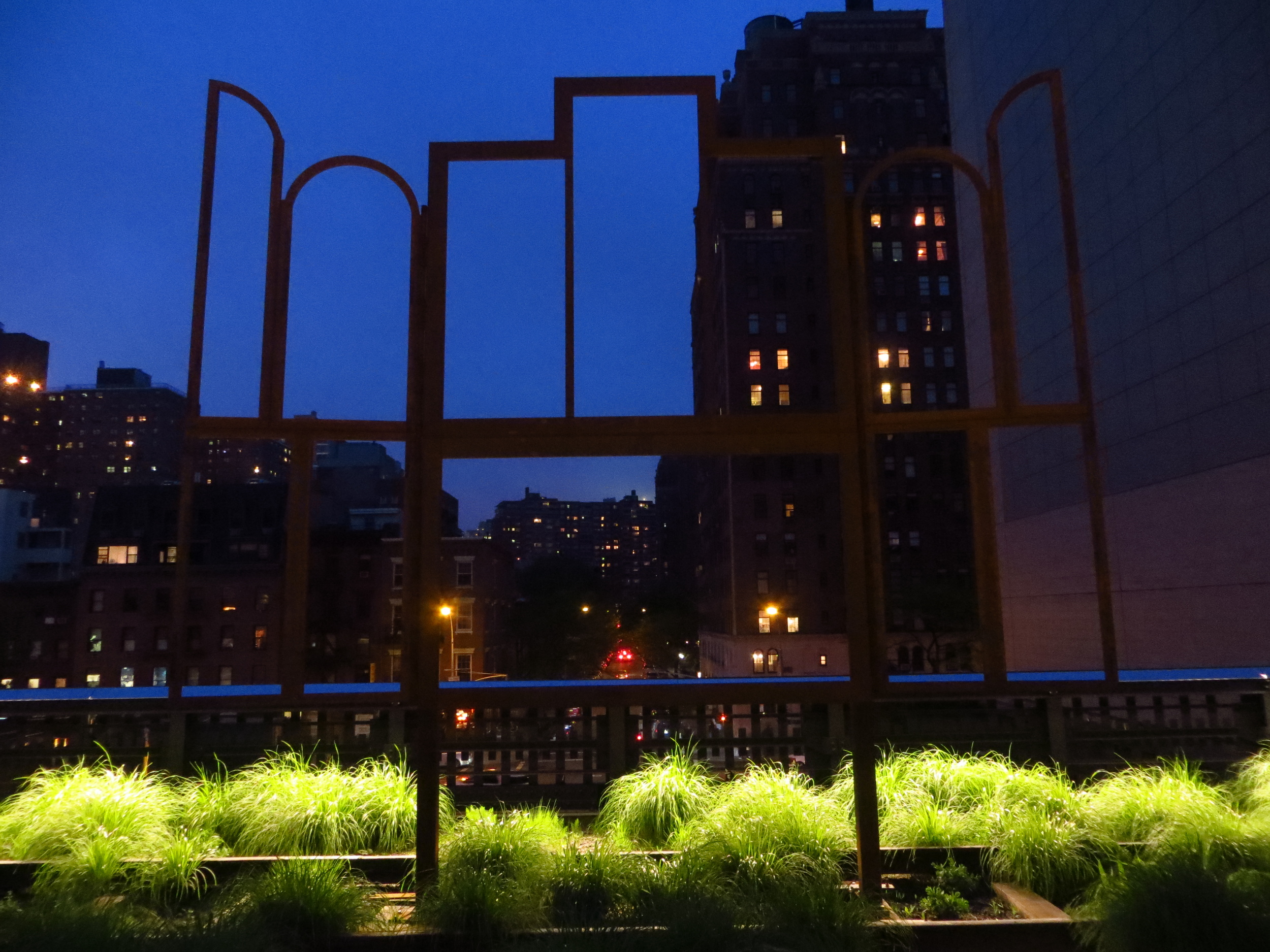
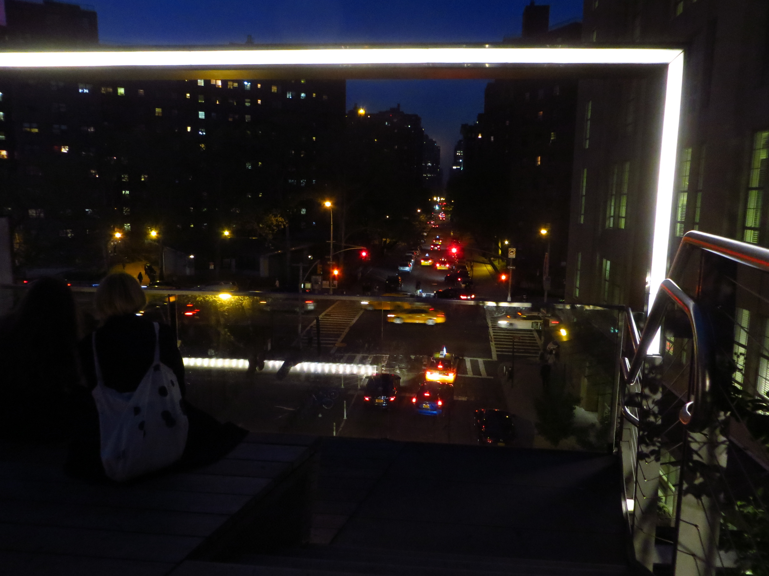
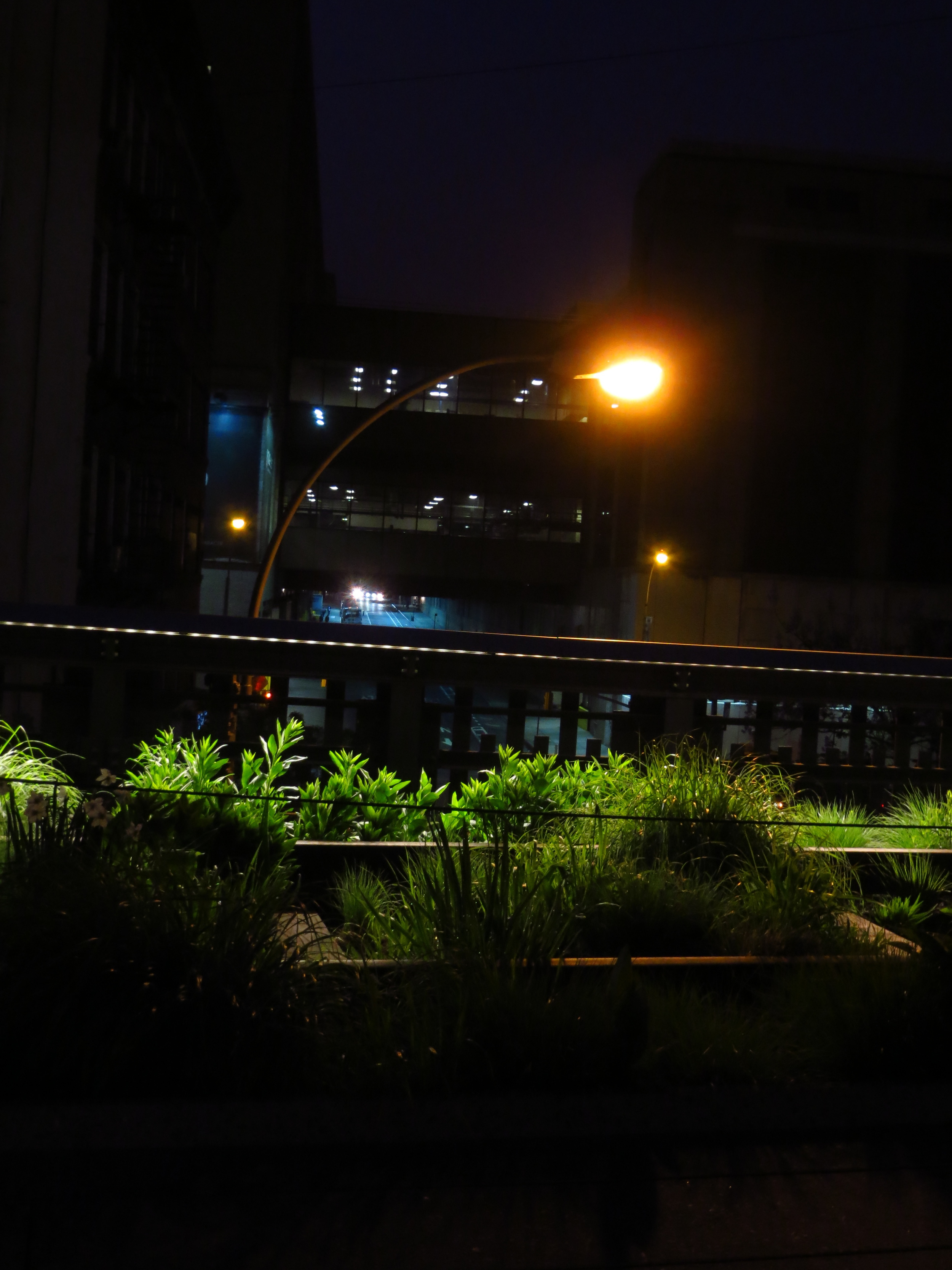
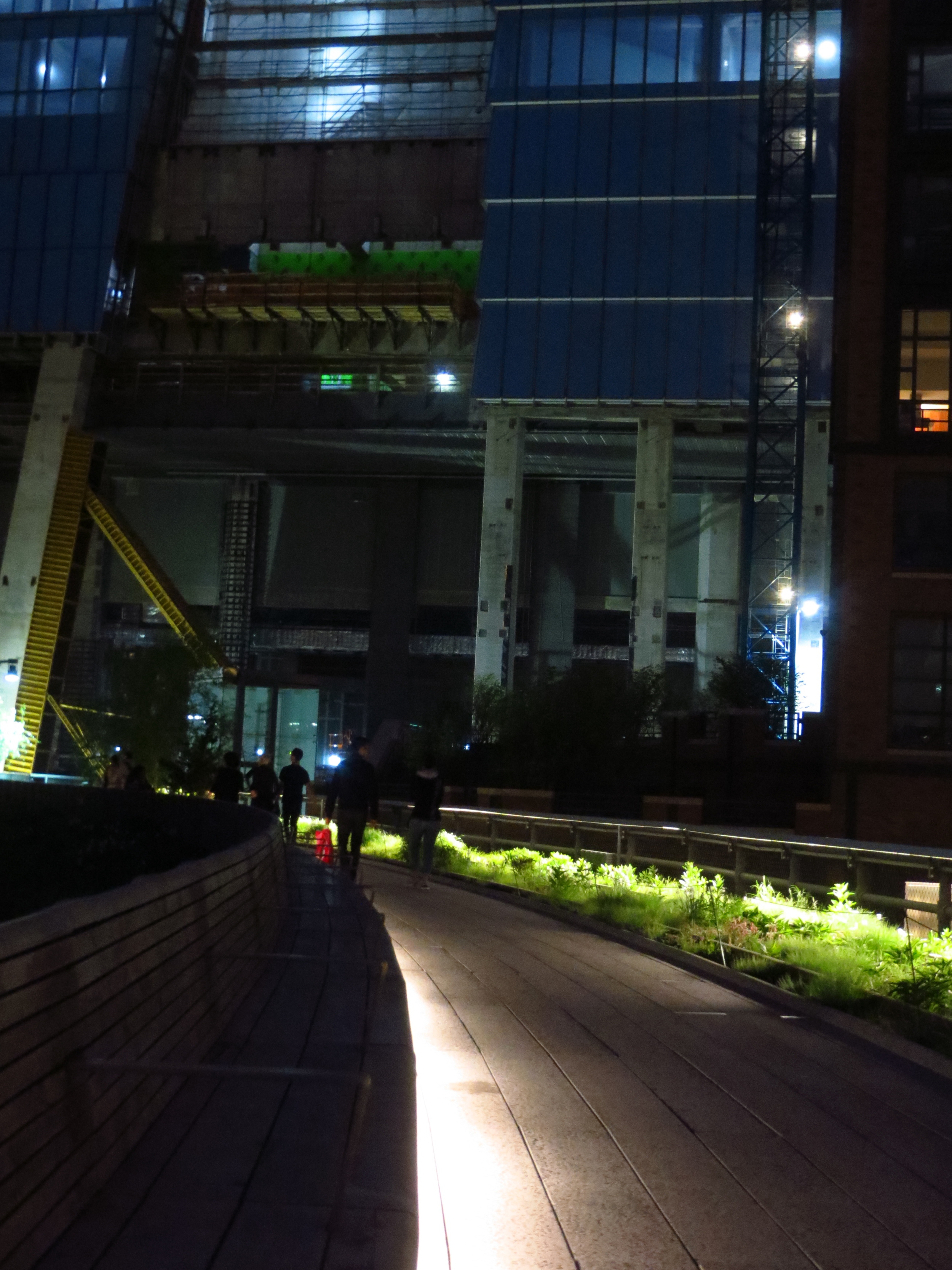
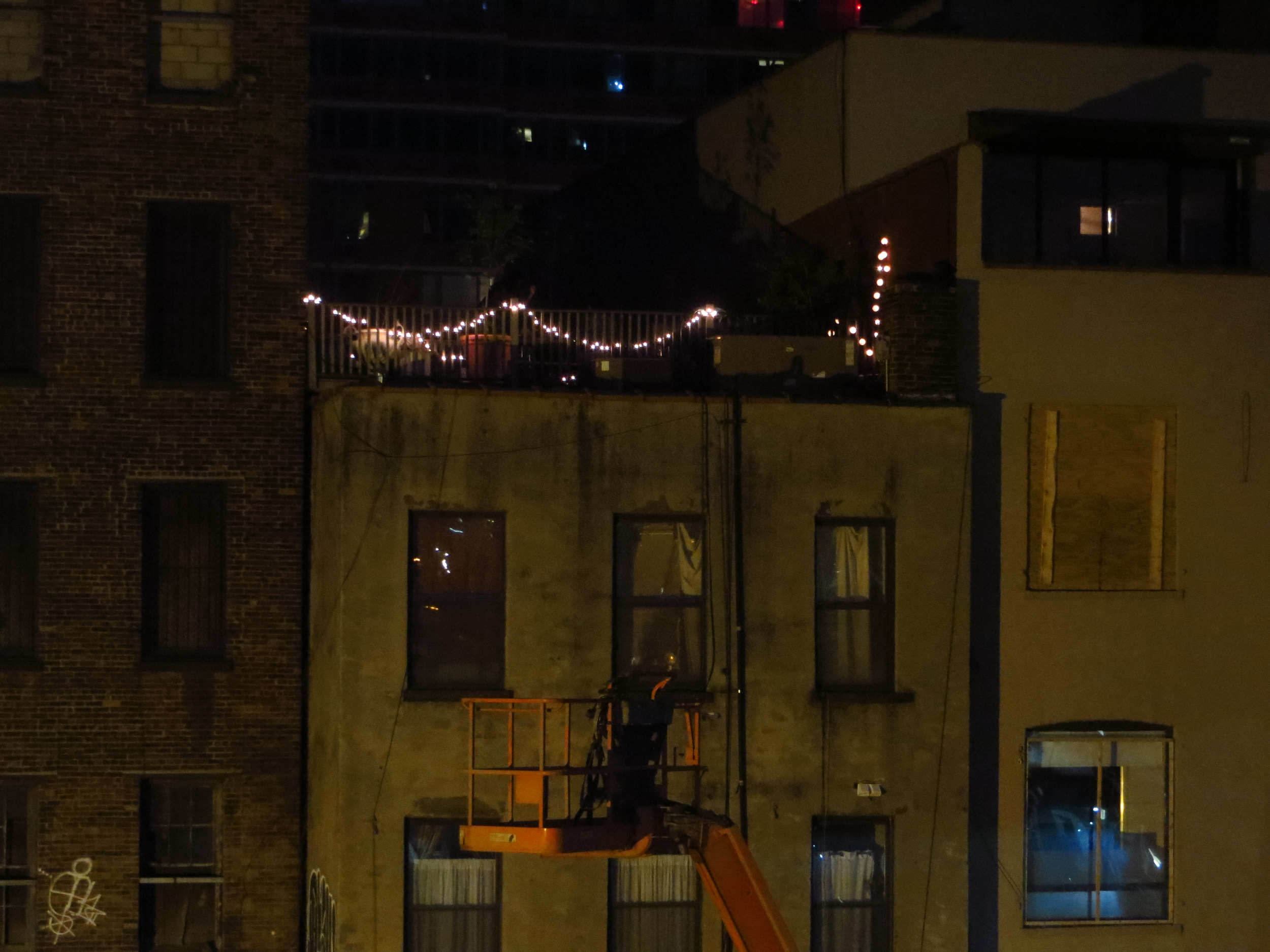
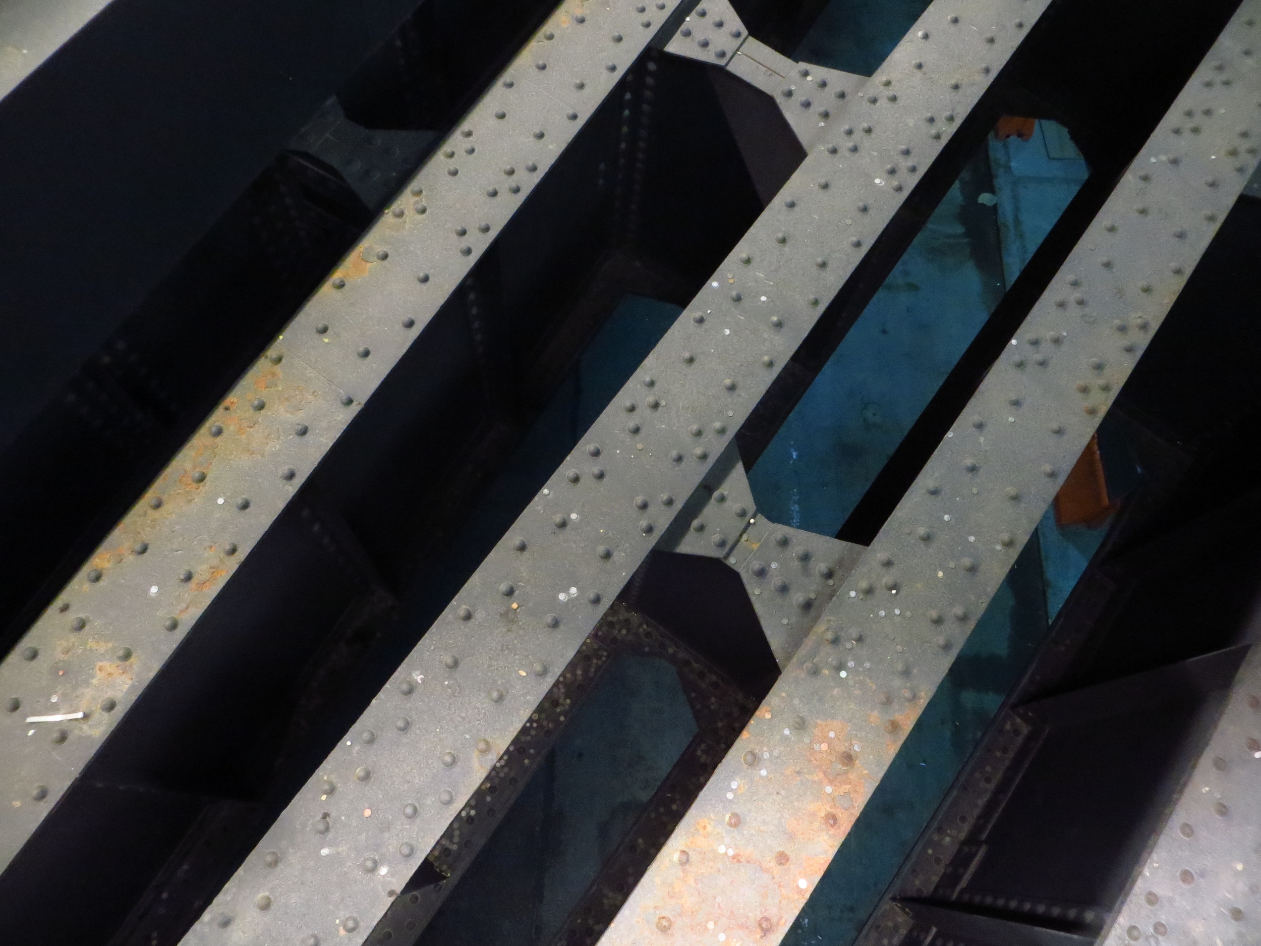
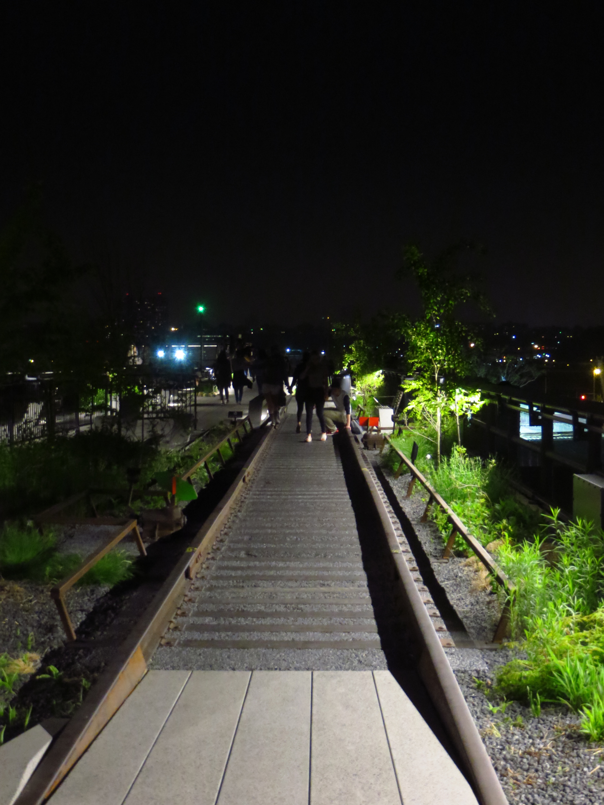
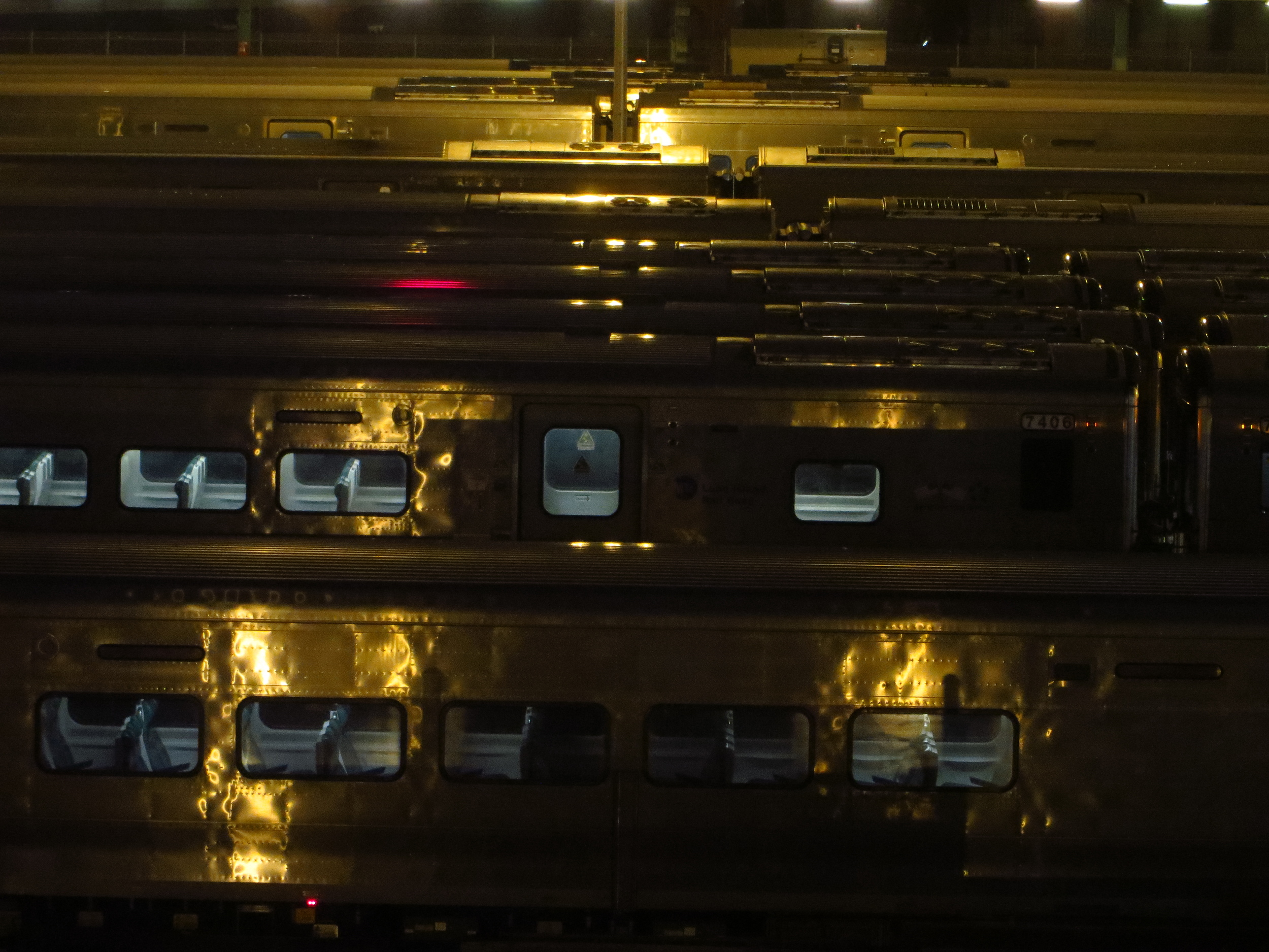
After walking Park Avenue, I walked back up the West Side of Manhattan and strolled the length of the High Line. The High Line is a park built on top of an old and out of use elevated railway line that runs along 10th Avenue through Chelsea (from Gansevoort St. to 30th St.). The railway was built in the 1930's after street-level trains along 10th Avenue were involved in so many accidents that it became known as "Death Avenue". The elevated railway, a spur of the New York Connecting Railroad's West Side Line, went through the middle of the blocks, as opposed to over the avenue, to allow trains to load and unload directly into the factories and warehouses along its route.
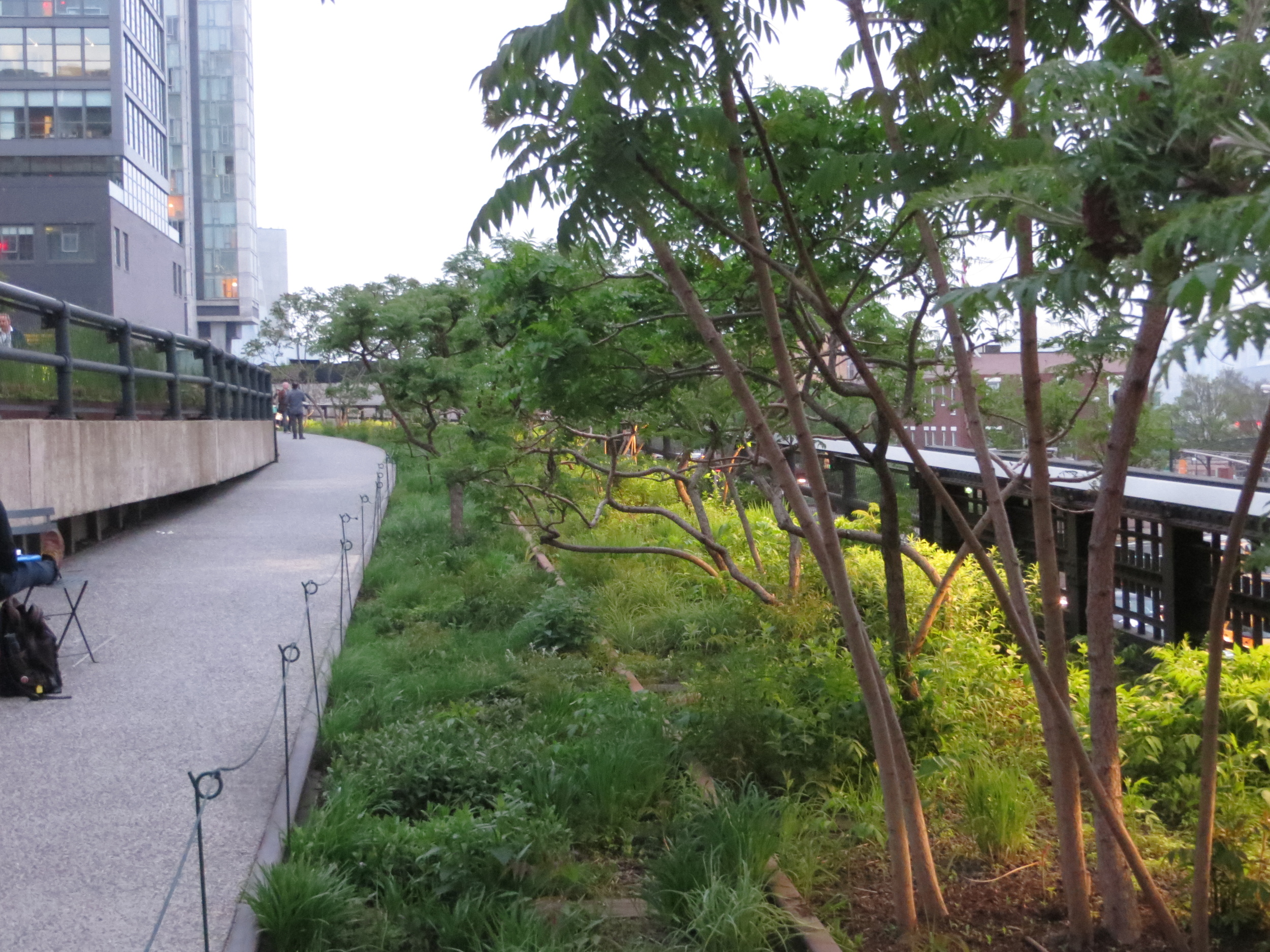
The growth of interstate trucking in the 1960's combined with the decline of Manhattan's industrial economy caused the line to fall out of use. Some sections were demolished and by 1980 traffic had ceased completely. The tracks stood unused for many years and eventually became overgrown with trees and other plant life. Total demolition was all but a forgone conclusion, but in the late 1990's many Chelsea-ites began advocating for the line's preservation and repurposing into a public space. Private and public funds totaling $150 million were raised by 2005, and in 2006 construction on the High Line park began.
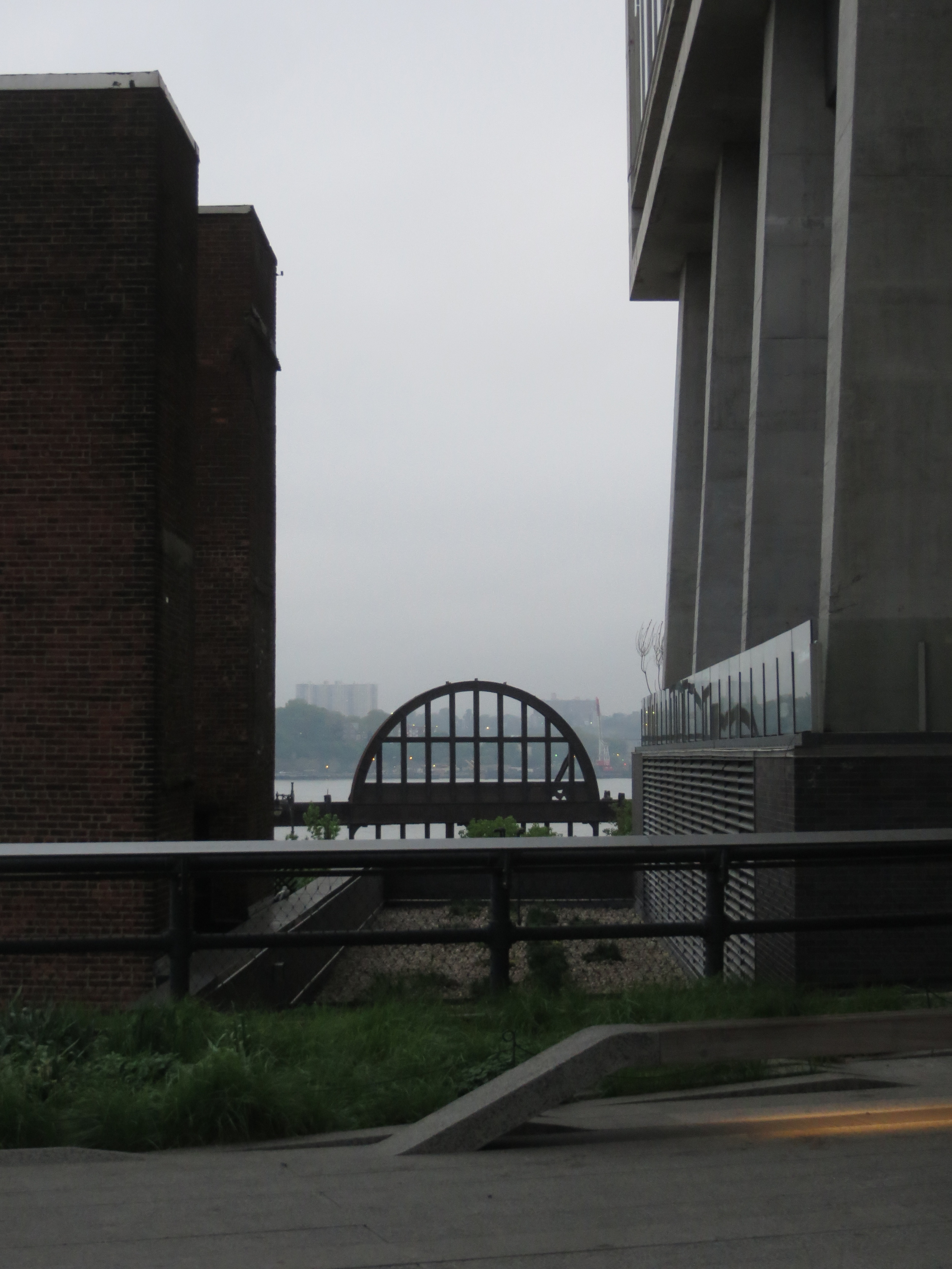
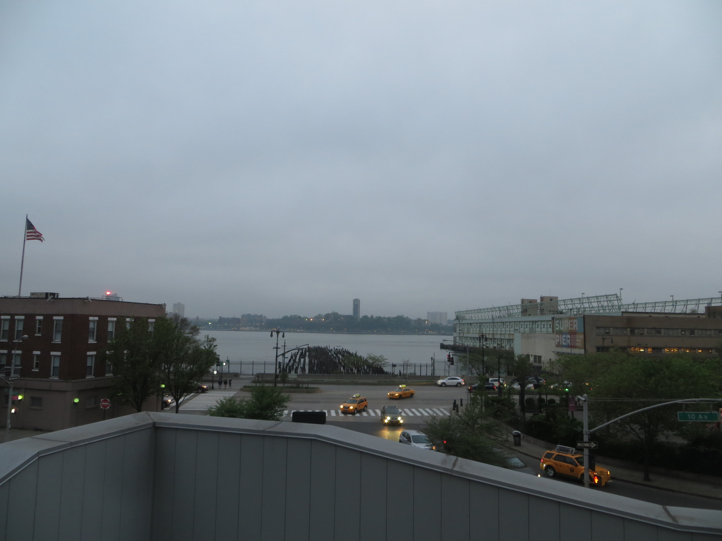
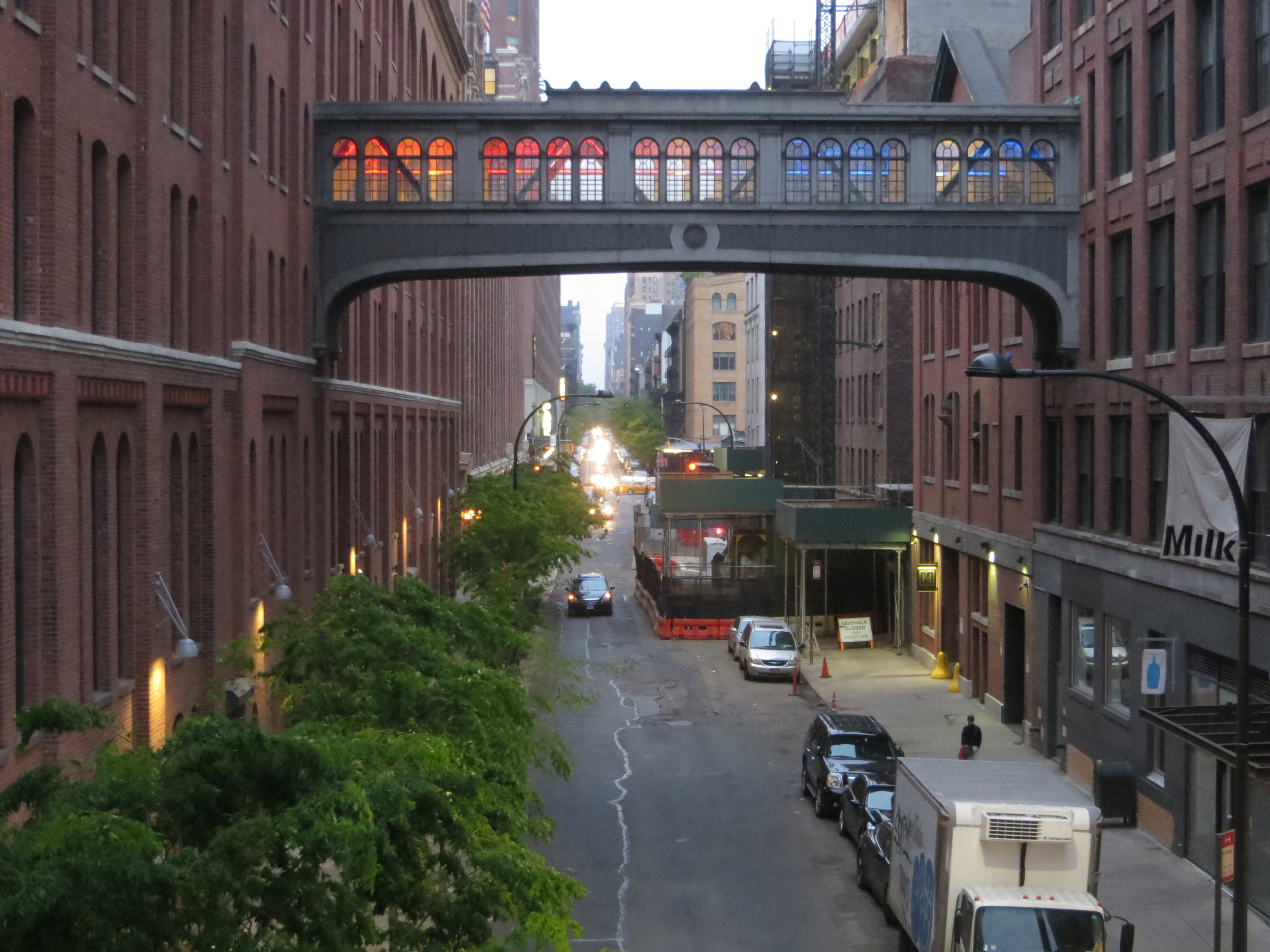
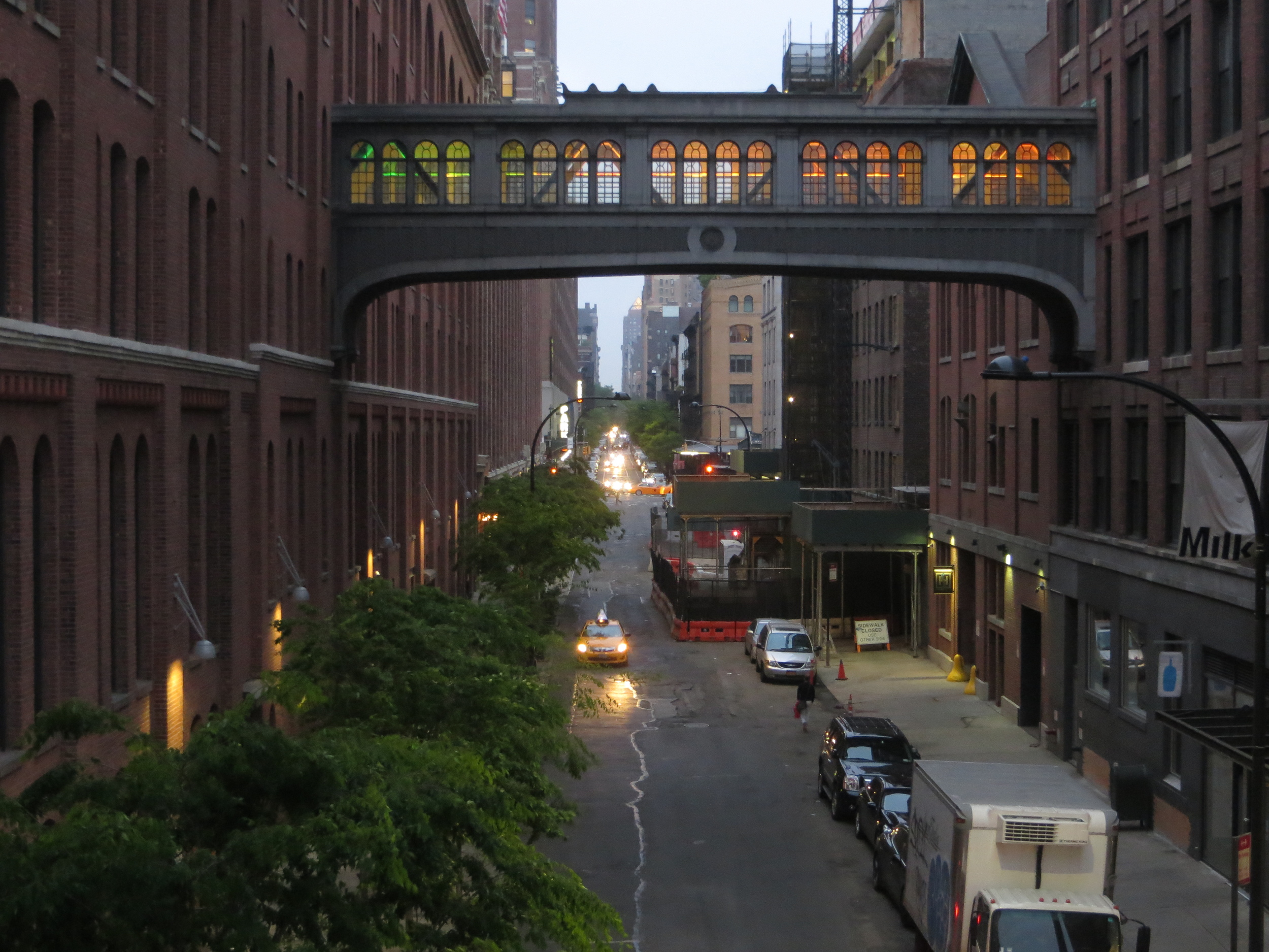
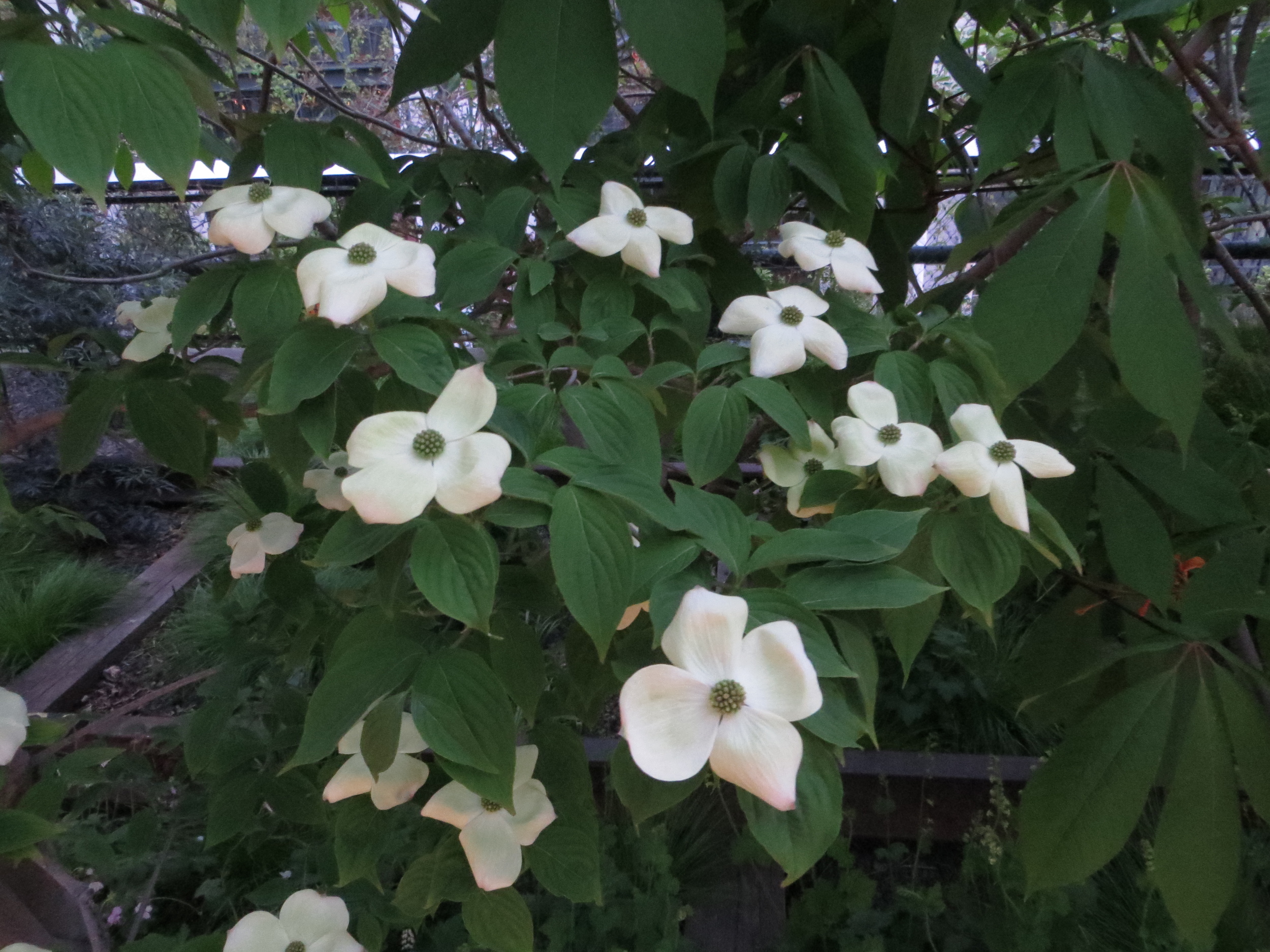
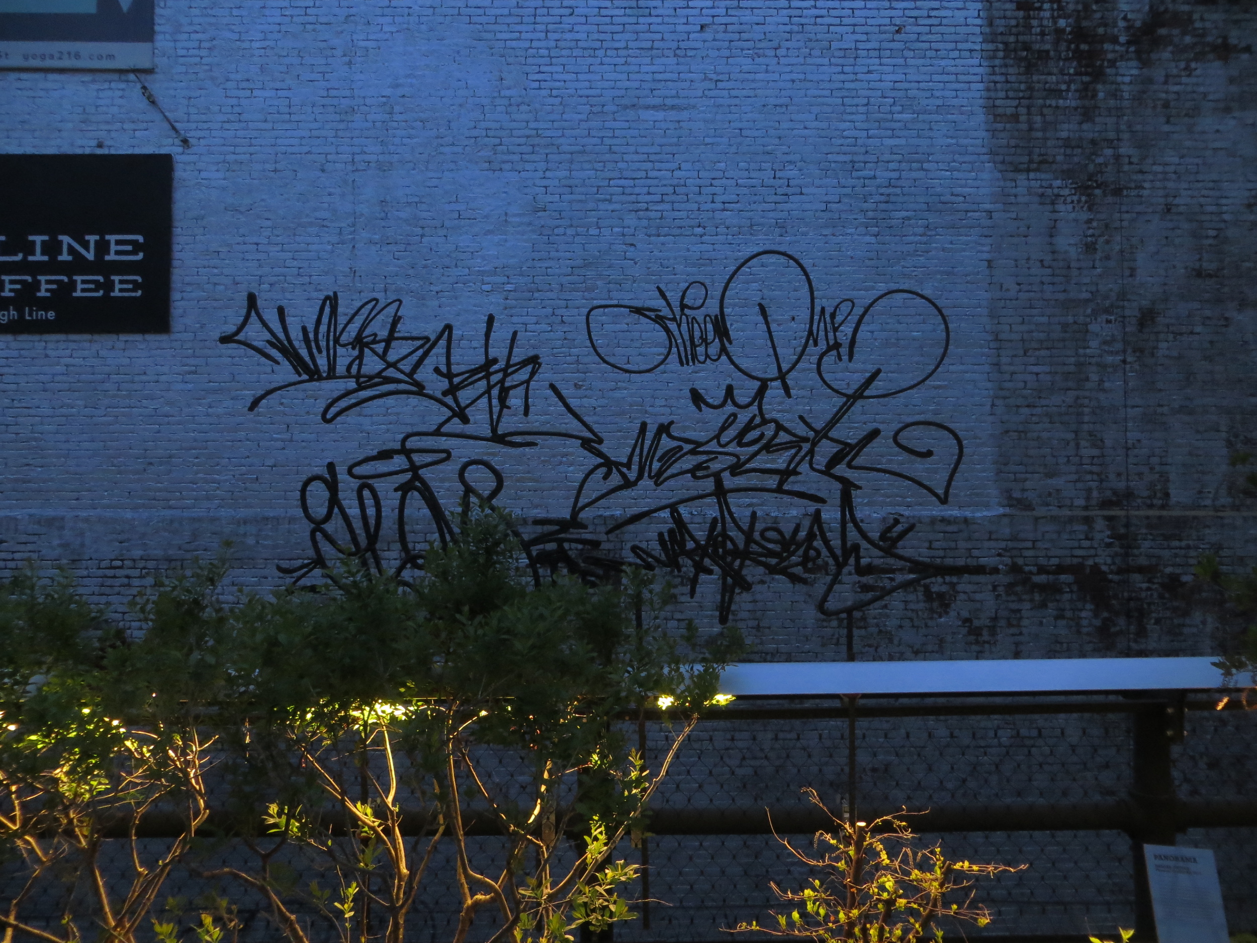
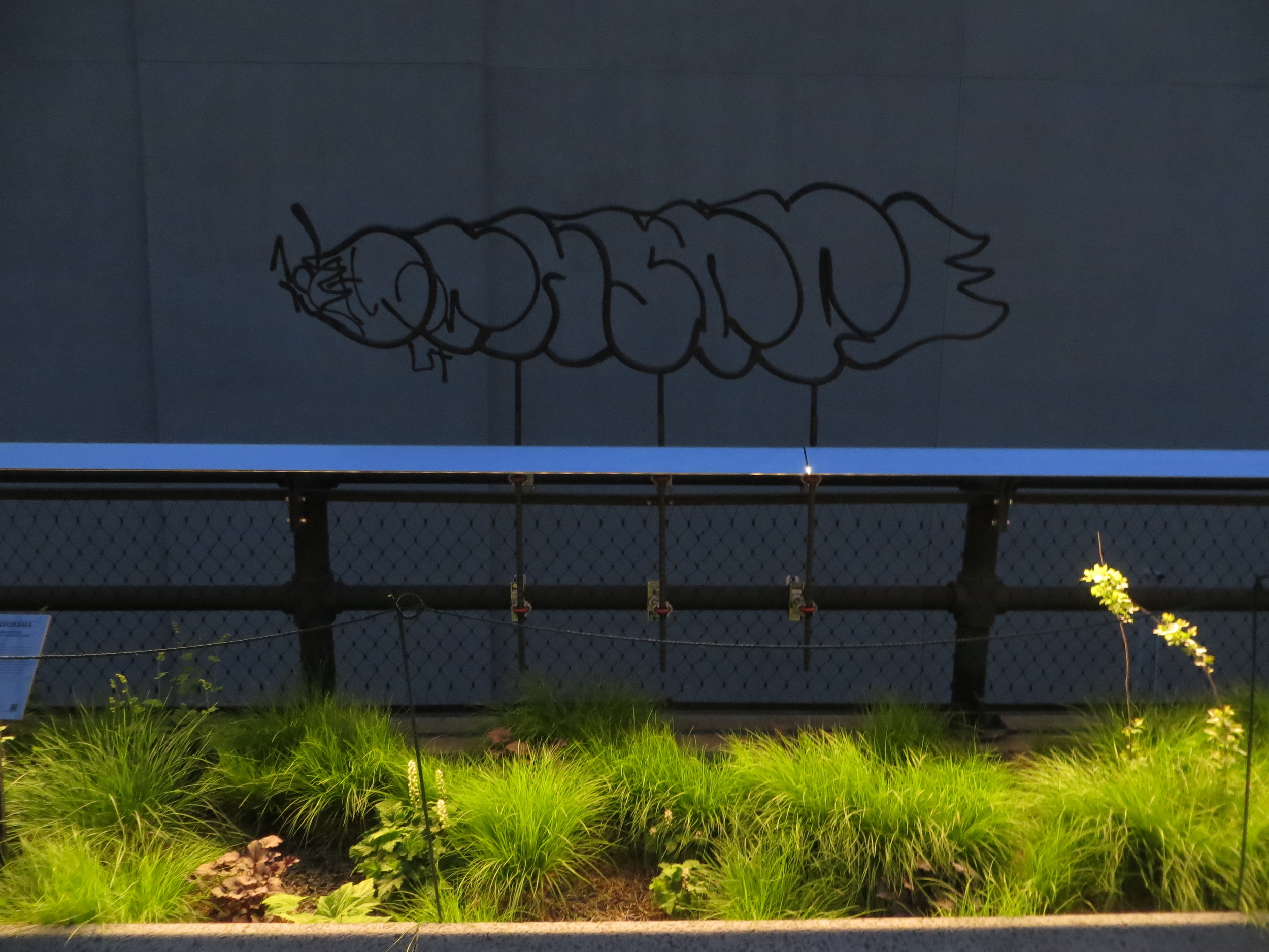
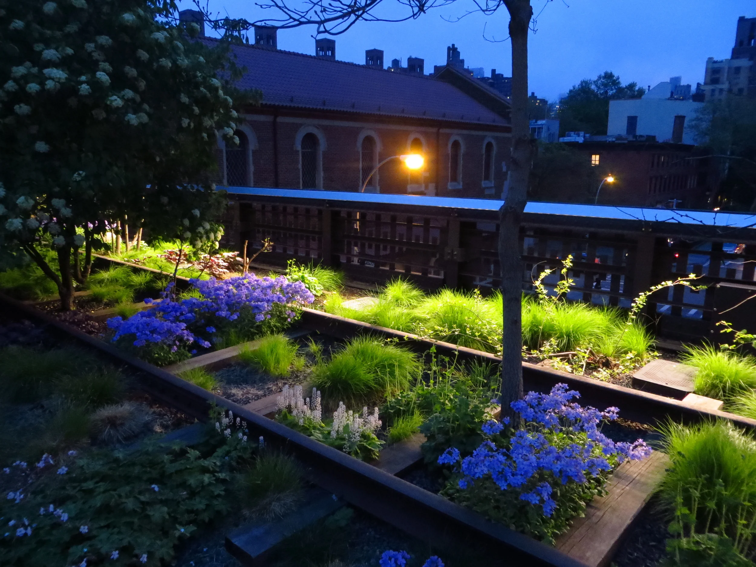
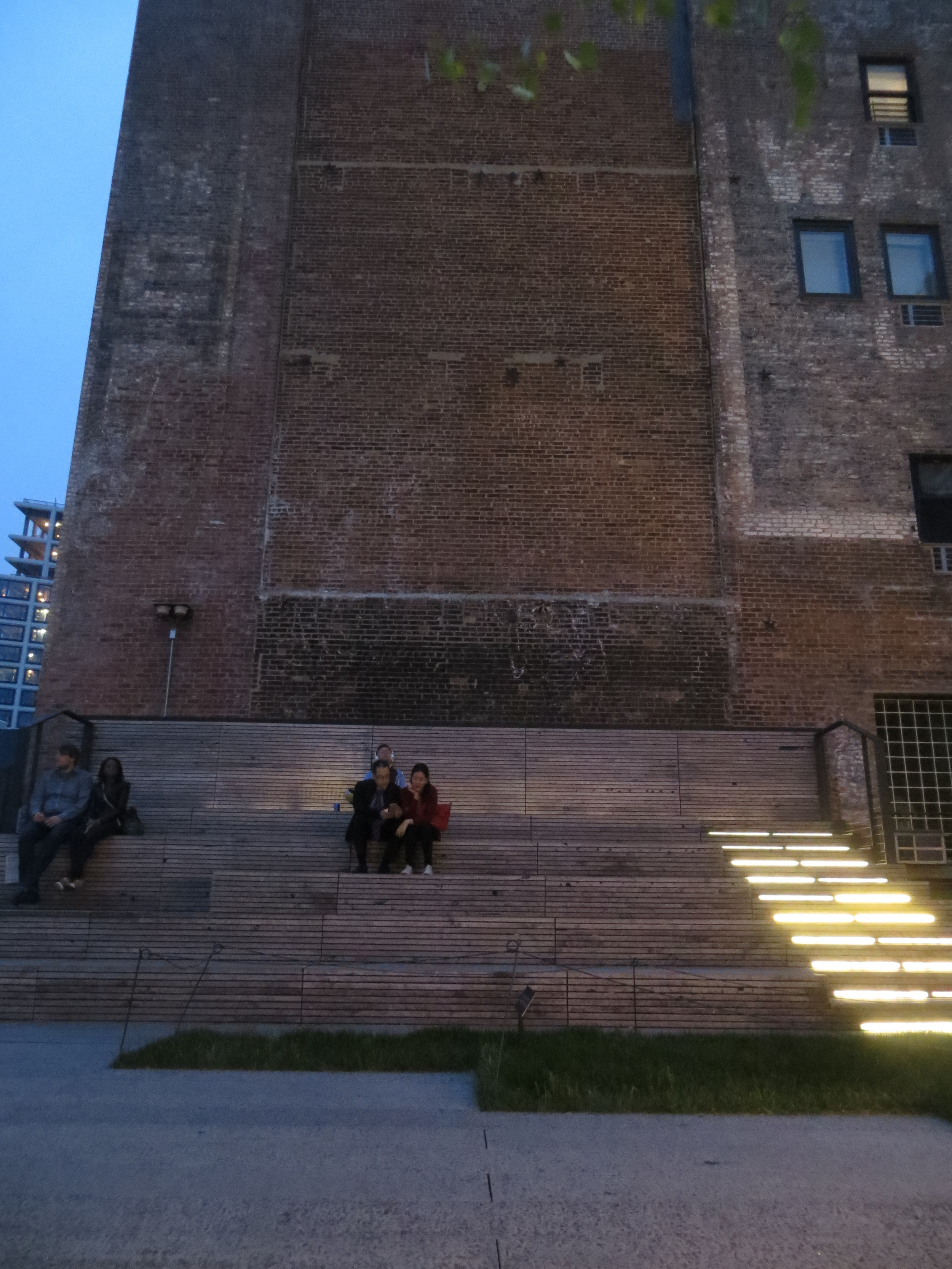
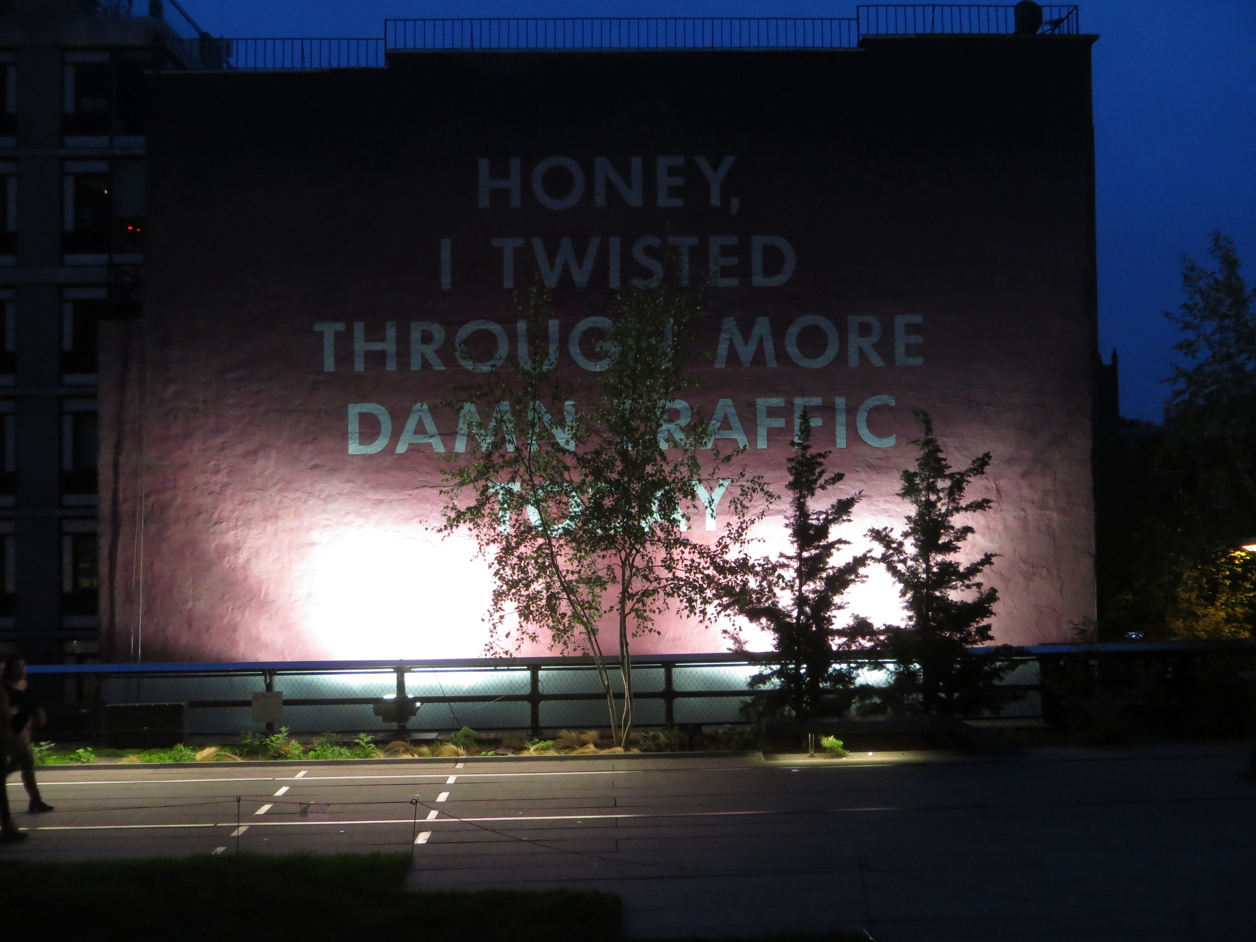
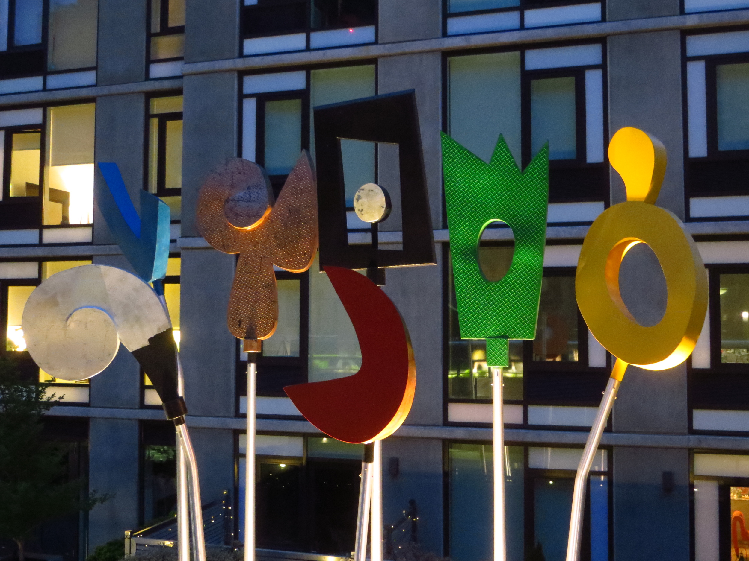
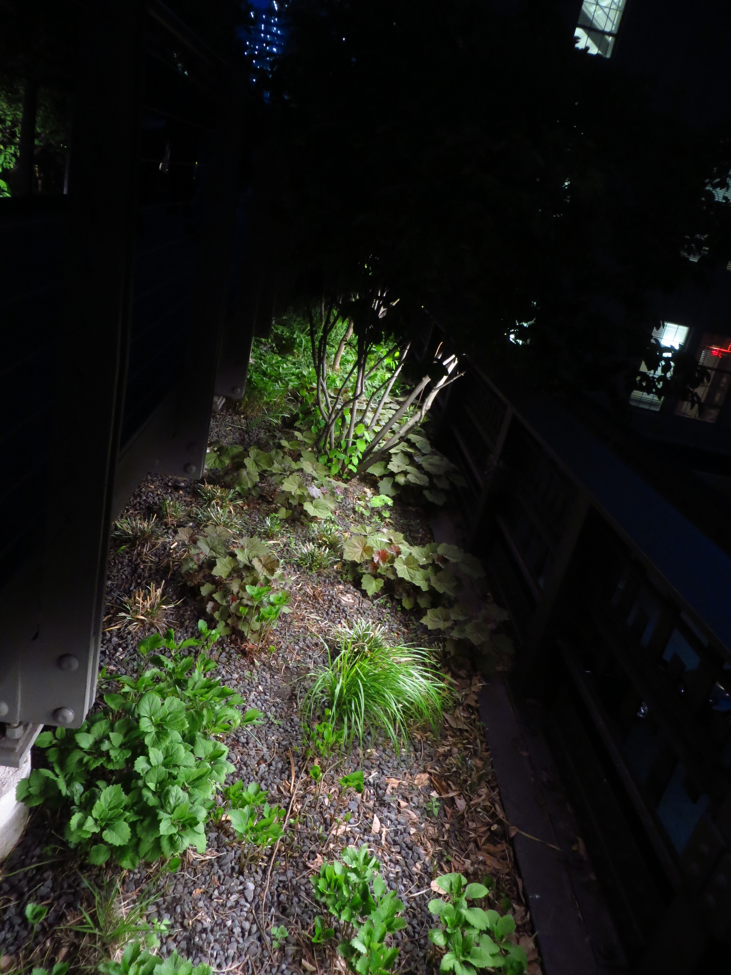
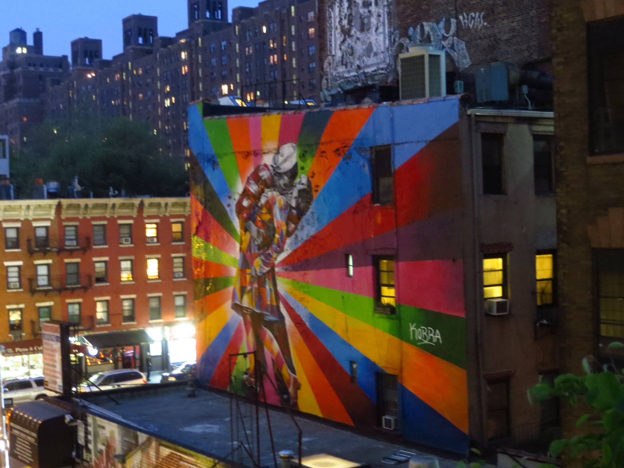
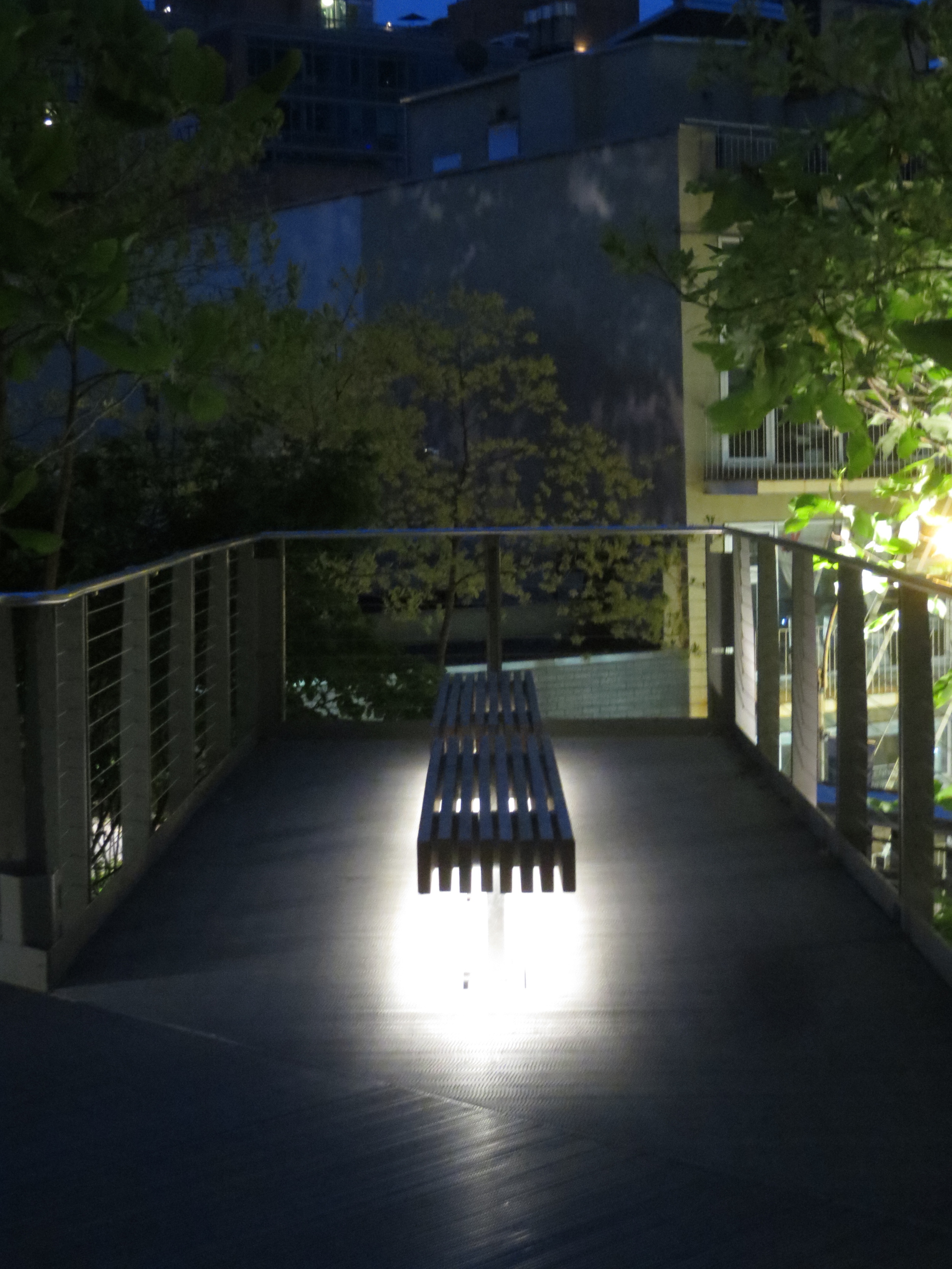
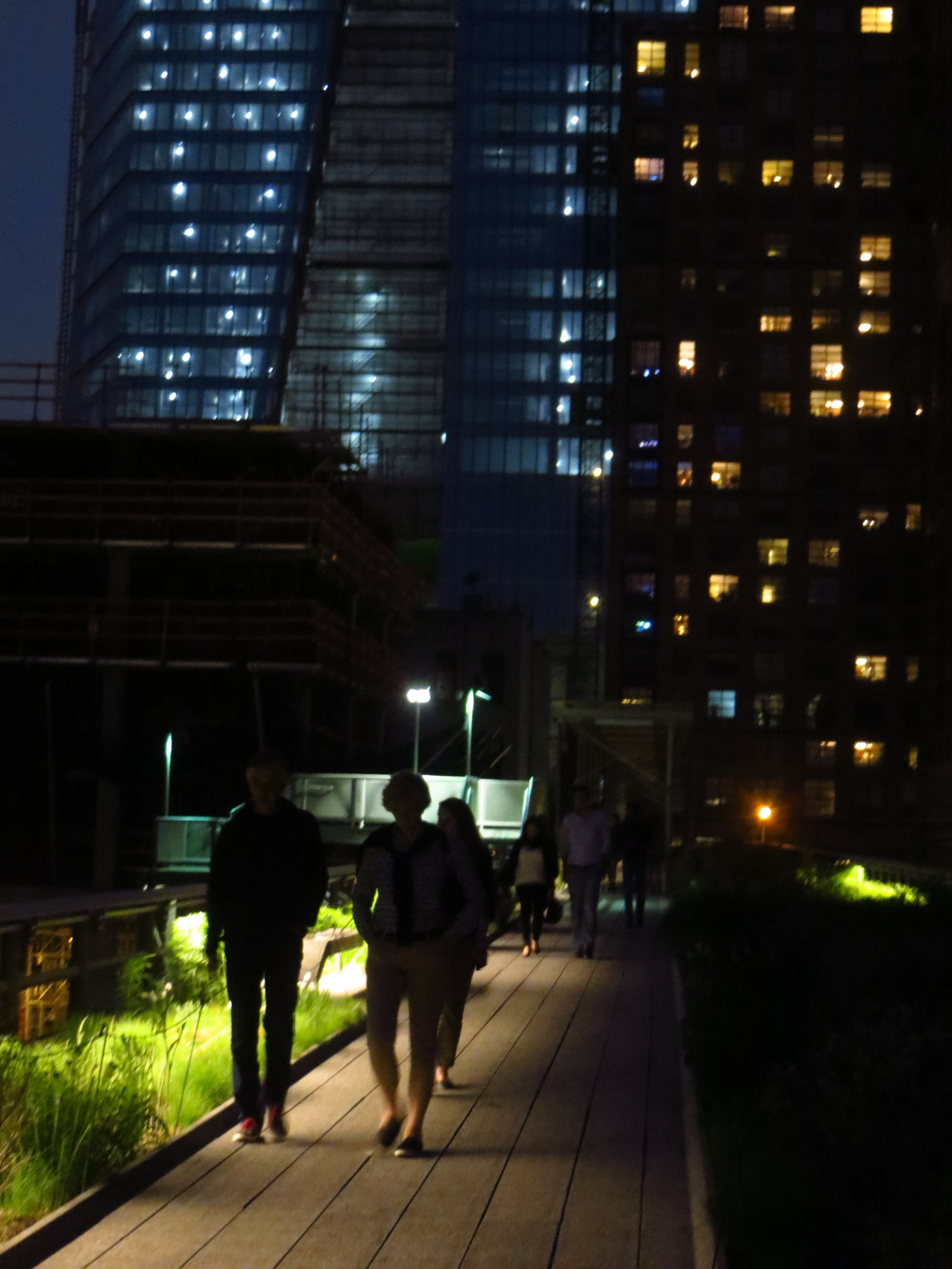
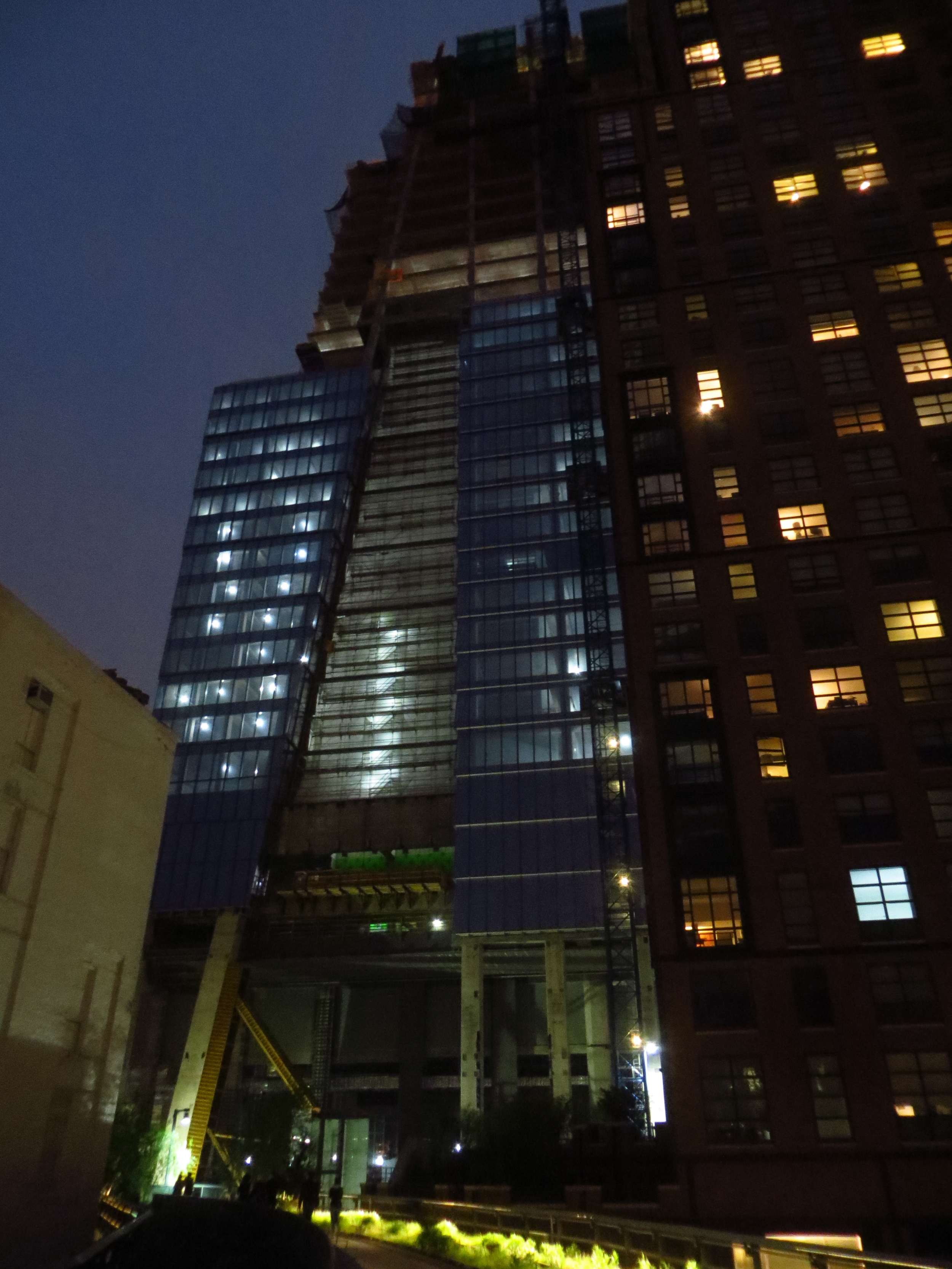
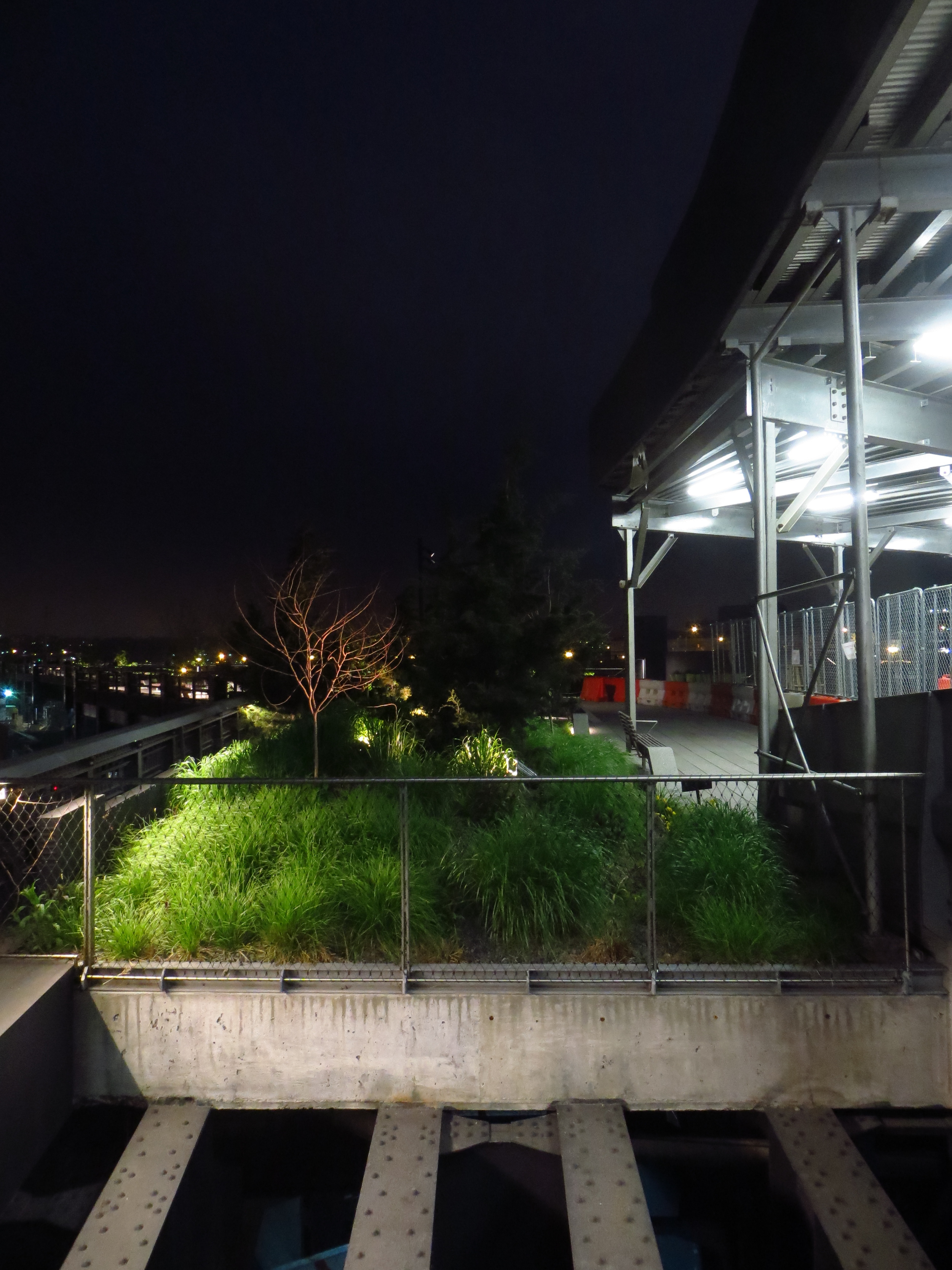
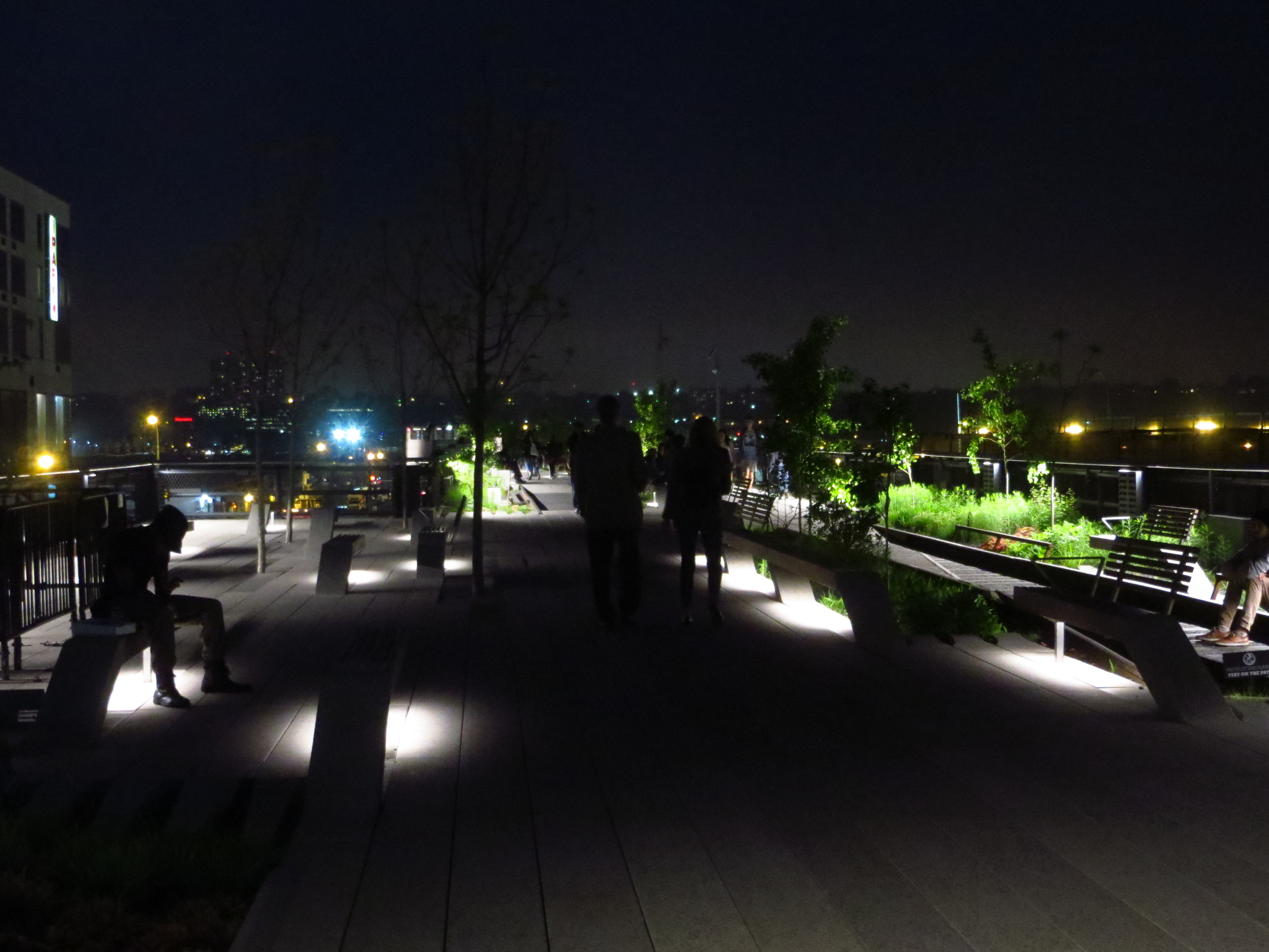
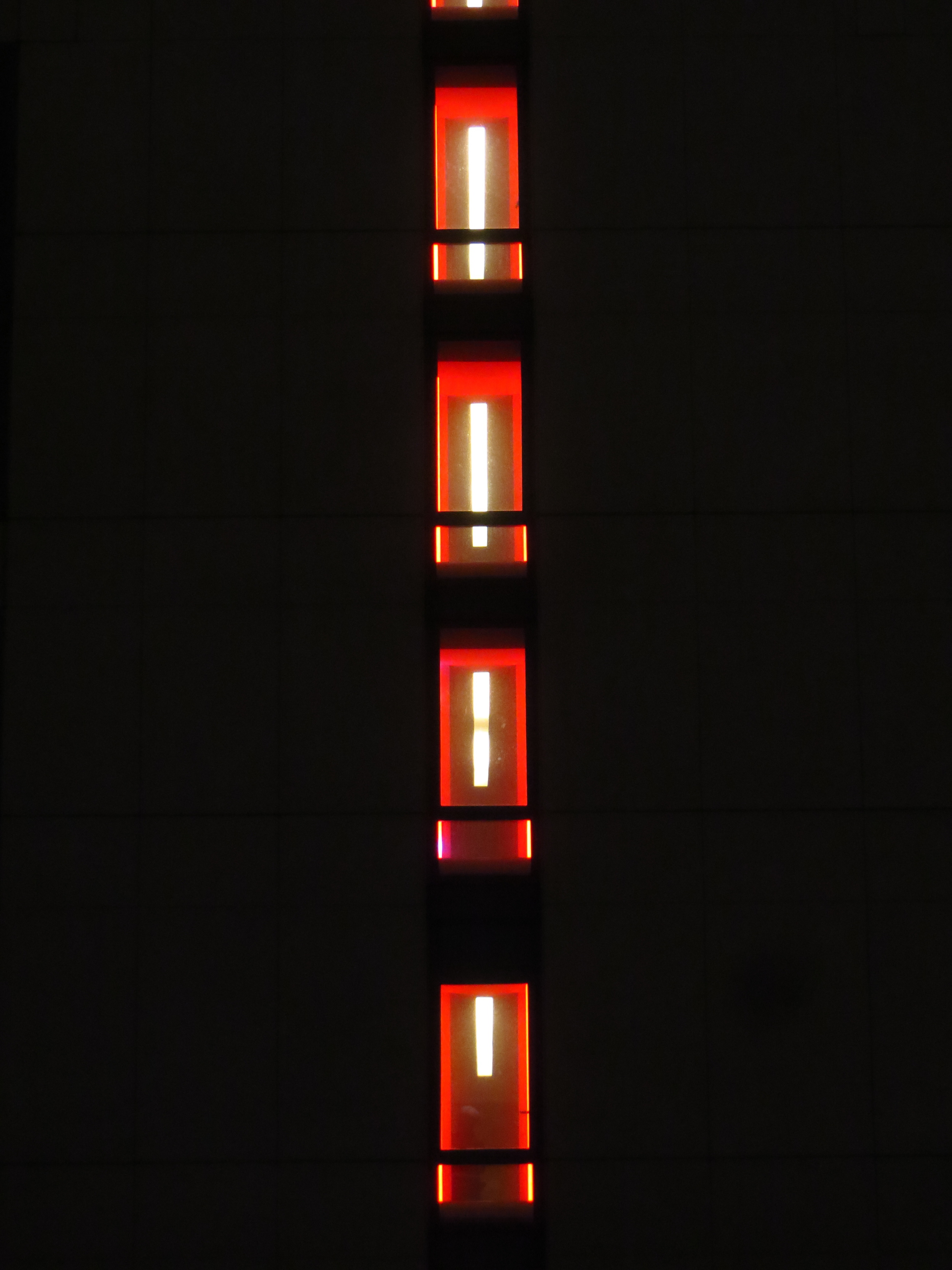
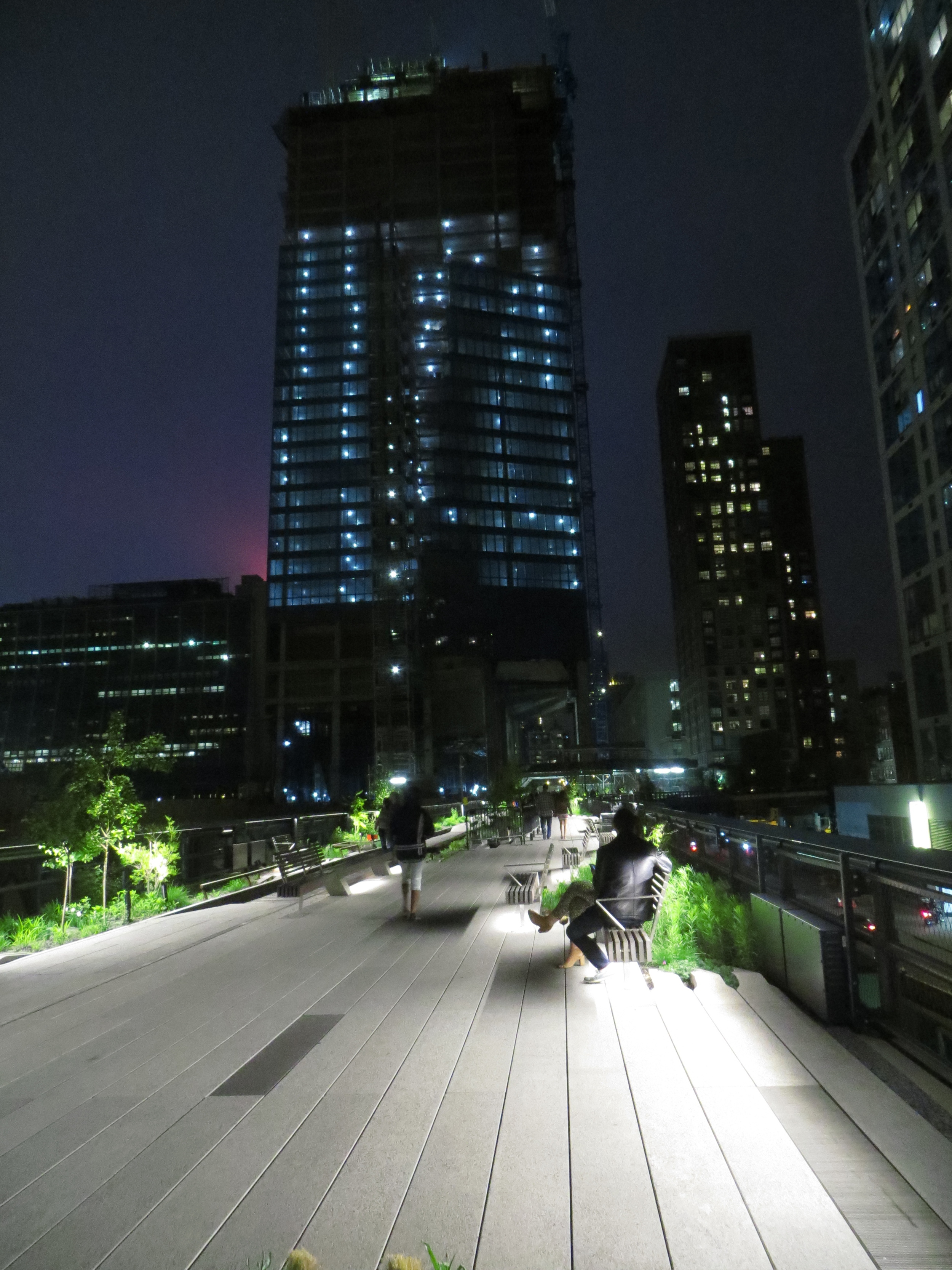
The first section stretching from Gansevoort St. to 20th St. opened in 2009, followed by a second section running from 20th St. to 30th St. in 2011. The finished product is a partially paved, partially exposed walkway over the old railway bed with native trees, flowers, and grasses growing along the sides. In addition to the neat aerial views of nearby buildings, the skyline, and the Hudson, rotating art installations provide some extra color along the route.
The third and final section which will run from 30th St. to 34th St. is currently under construction and partially open to the public.